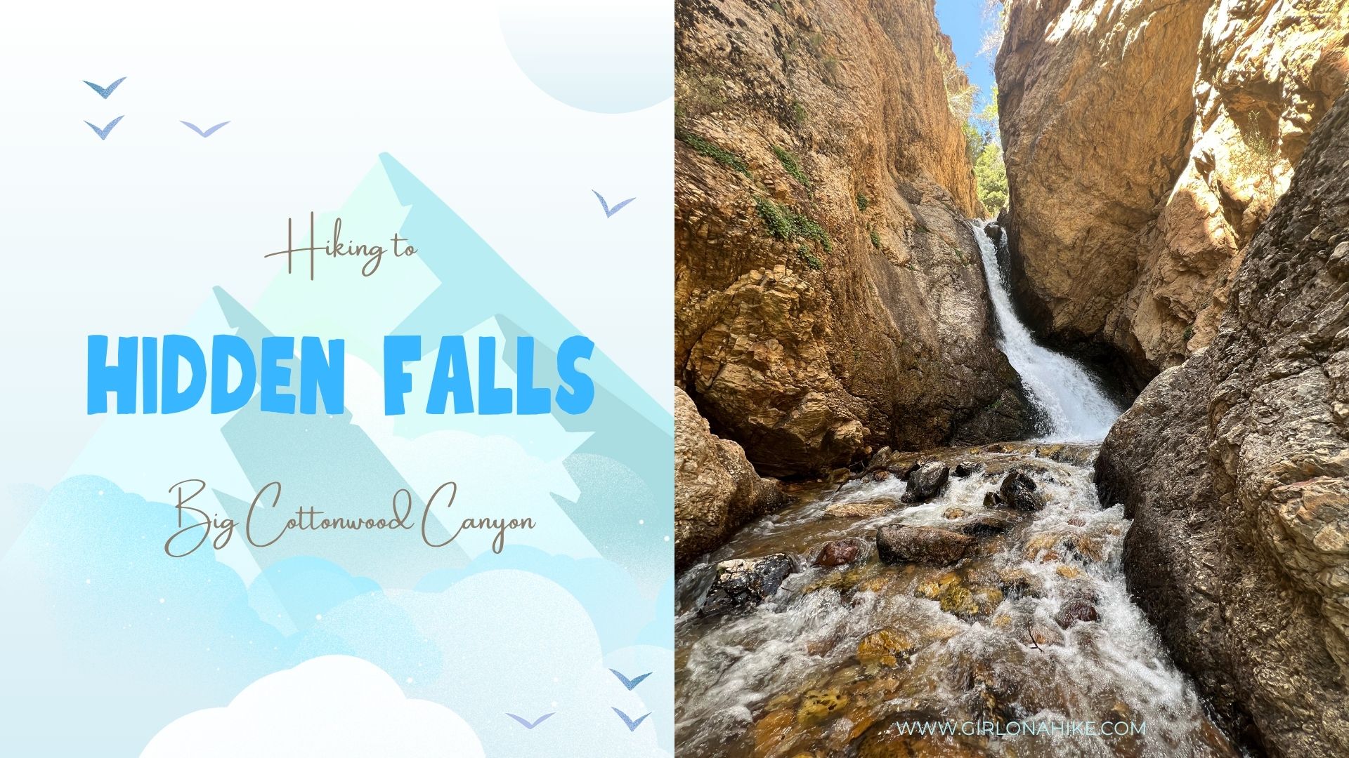

Hidden Falls is one of the easiest and most rewarding hikes in Big Cottonwood Canyon, located just off the side of the road. With only a tenth of a mile trail, it’s perfect for families, young kids, or visitors who aren’t into long hikes but still want to enjoy stunning scenery. This short, 5-minute walk leads to a picturesque waterfall that flows strongest in the spring. Along the way, you’ll also pass a historic, closed-off mine, adding a unique touch to this quick outdoor adventure.
Directions
From SLC, head south on I-15, then East on I-215. Take exit 6 for 6200 S/Wasatch Blvd, and turn right. Turn Left at the 7-11 for Big Cottonwood Canyon. Head up the canyon for 4.7 miles. Right at the “S” curve, there is a parking lot on the right side of the road. Only 10 cars can fit here. If it is full you will have to park along the road. The trail starts on the north side of the “S”, so either way you’ll need to cross the road.
Trail Info
Distance: 0.2 miles RT
Elevation gain: 53 ft
Time: 5 minutes to 30 minutes
Dog friendly? No, this is protected watershed area so dogs are not allowed in any part of BCC
Kid friendly? Yes!

The “trail” begins in the parking lot at the “S” curve in the road.

Cross the road.

Turn left, and simply follow the social trail along the creek.

Next, pass an old mine on the East side of the canyon.

That was too easy – it took me 3 minutes to walk here.

I loved not having to carry any gear with me for once! Lovely day to see Hidden Falls for a few minutes.
Trail Map
My track via Gaia GPS – the best tracking app! Get your app here for a discount.
Nearby Hike
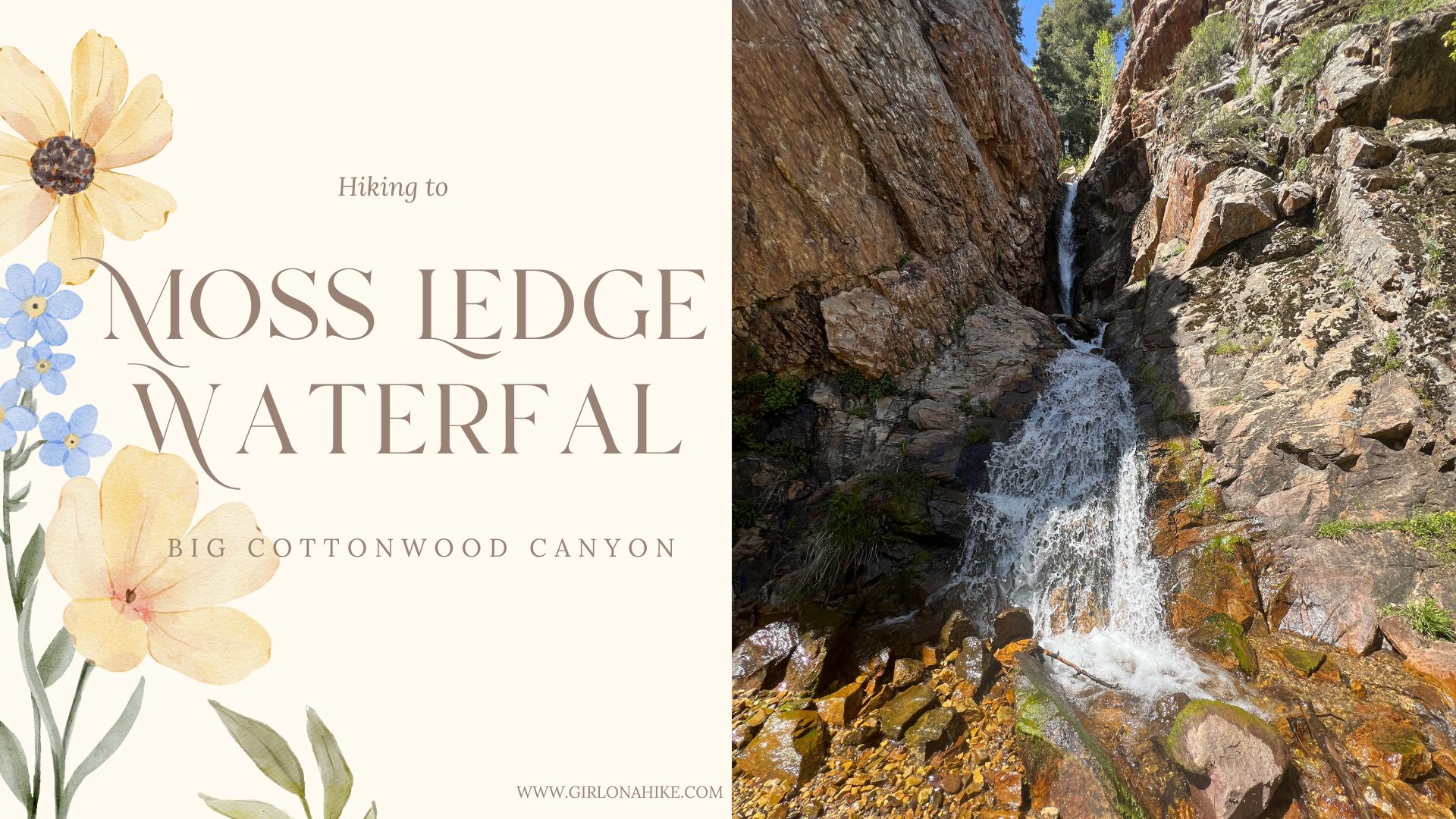
Moss Ledge Waterfall, Big Cottonwood Canyon


Save me on Pinterest!