About
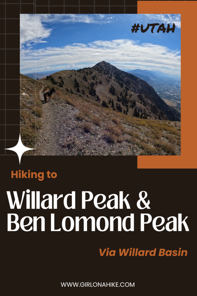
Both peaks are fairly easy, especially if you have some peak bagging experience. If you are a beginner hiker, you may find it more difficult. The trail starts from Willard Basin Campground, and passes by a high alpine lake before reaching the ridge. The hike up to Willard Peak follows a very lightly tracked trail marked by cairns, while hiking over to Ben Lomond is easier along a heavily trafficked trail due to popularity. The entire hike will offer amazing views of Willard Bay and the Great Salt Lake to the West, as well as the valleys to the East. On a clear day, you can see Mt. Ogden to the south as well.
Directions
From SLC, head north on I-15 and take exit 362. Drive 5.1 miles along HWY 91, and take the exit for 100 S in Mantua, UT. Turn right on Main St, which then turns into Willard Peak Road. Follow this road, which turns into a dirt road. Once you are on the dirt road, it will take you an hour to reach the trailhead, even though it’s only 8 miles away. Here is a driving map. Total drive time from SLC is about 2 hours.
Trail Info
Distance: 7.6 miles RT
Elevation gain: 1,500 ft
Time: 3-5 hours
Dog friendly? Yes, off leash
Kid friendly? Yes (except for Willard Peak)
Fees/Permits? None
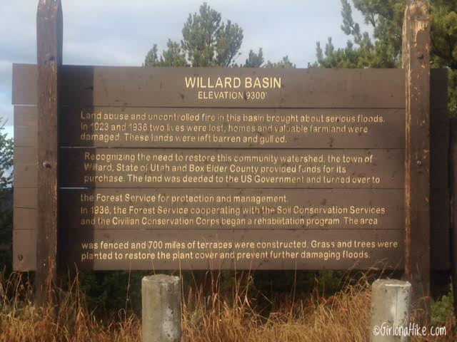
After driving for 45 minutes up the dirt road, you should see this very large brown sign.
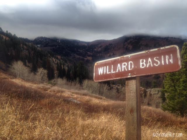
One more Willard Basin sign.
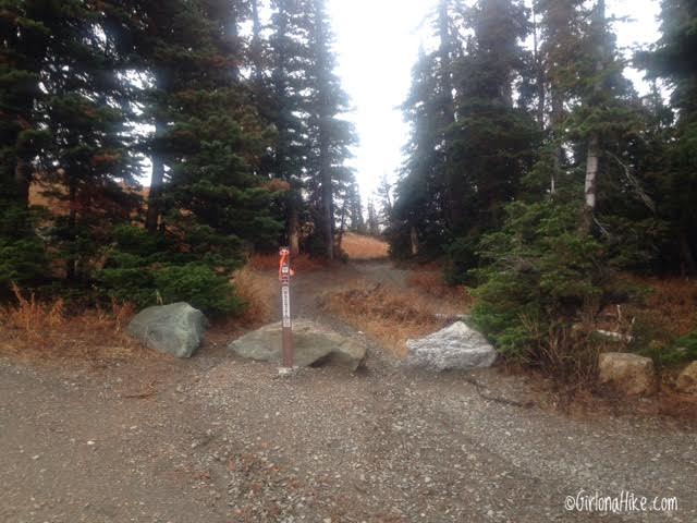
The trailhead is not marked off the dirt road, but it starts at the Willard Basin Campground. It is marked by this brown forest service pole and three large boulders.
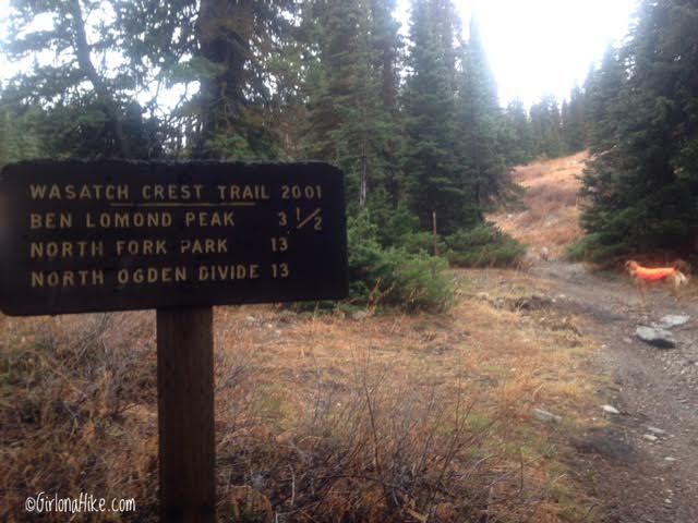
After you walk up about 100 yards you should see the official TH sign.
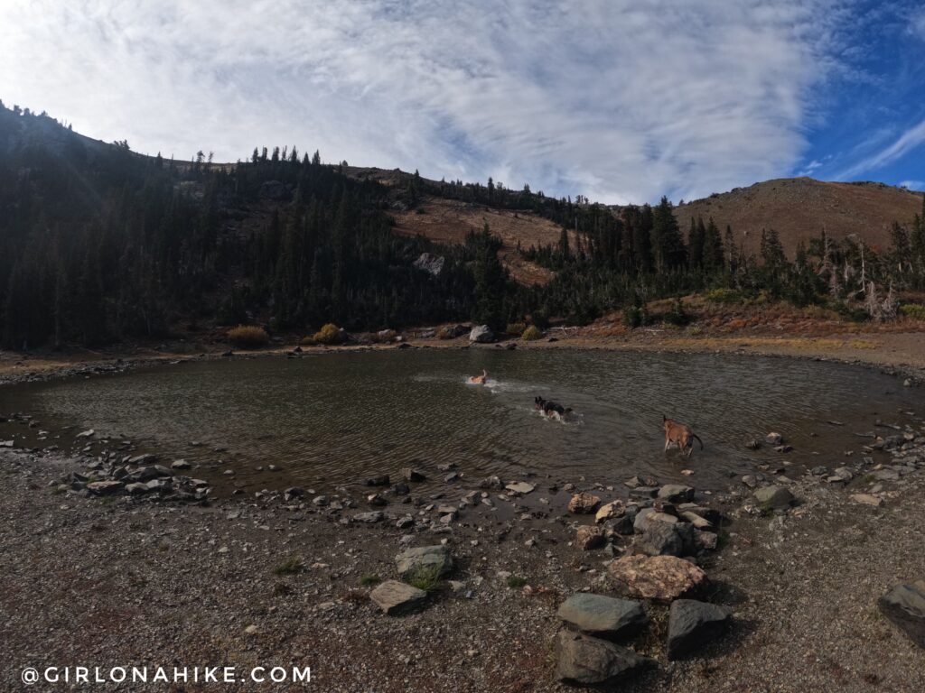
Reaching the alpine lake, we let the dogs take a dip. The trail continues to the left, and will wind it’s way up to the ridge.
Working our way past the lake.
One switchback will take you to the ridge.
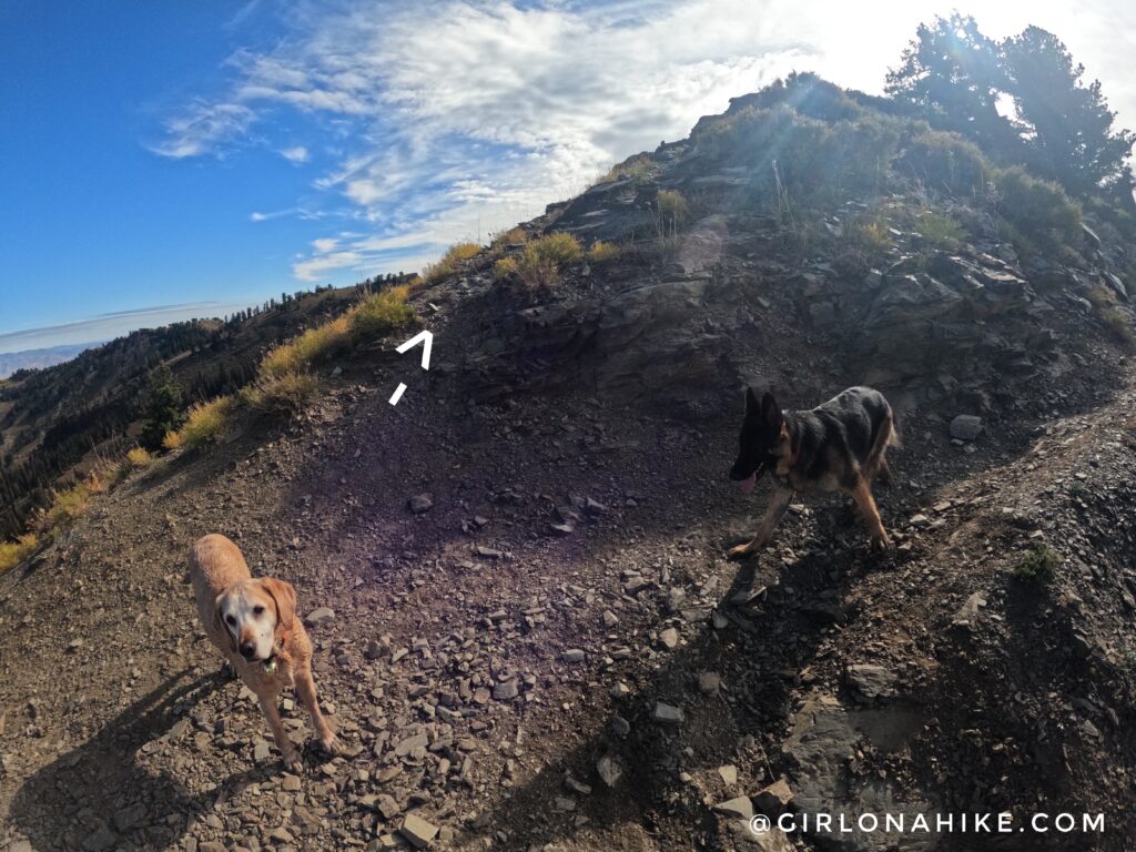
Once at the ridge, look for the very light trail that heads directly up the ridge leading to Willard Peak. You’ll see a trail that goes left, but in a more downward direction – don’t take that. As long as you stay on the ridge, you’ll reach the peak. Keep an eye out for cairns.
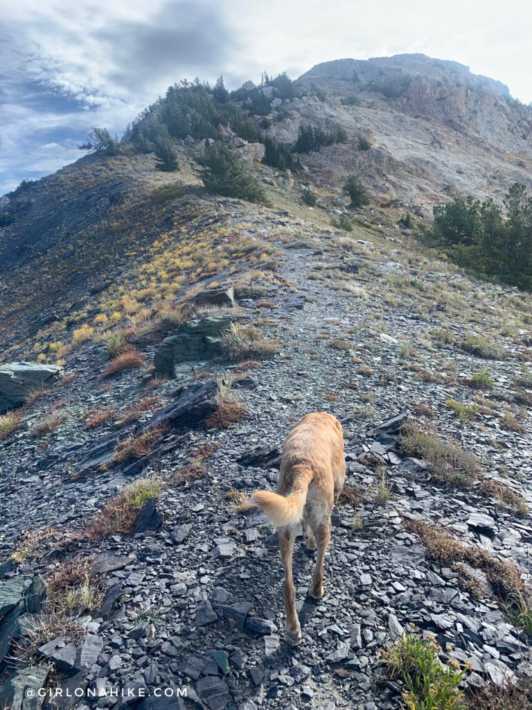
You can see the faint trail leading the way.
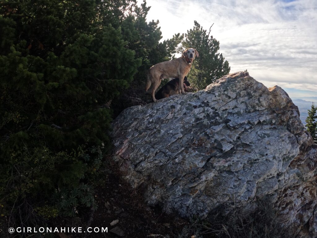
When you see this rock, climb over it and take a hard left, up through the trees to continue following the trail.
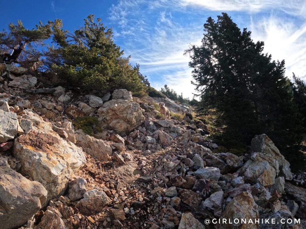
You will hike through a rocky area.
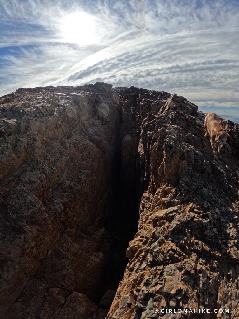
This part looked scary, but it was actually only maybe 8-10 feet deep. It’s very easy to hike around.
We made it to Willard Peak in 1 hour. It was much easier than I was expecting. From how rocky the peak looks from a distance, I though we would need to scramble up, but it was easy hiking the whole way up.
After hanging out at the summit, we decided to hike back down the same way we came up (the North ridge), instead of going down the South ridge. The trail was easy to come up that way, and since we didn’t know what the other side looked like, we were afraid we would get cliffed out. Later, after the clouds had cleared, we could see that we really would have gotten cliffed out. I’m glad we went down the same way.
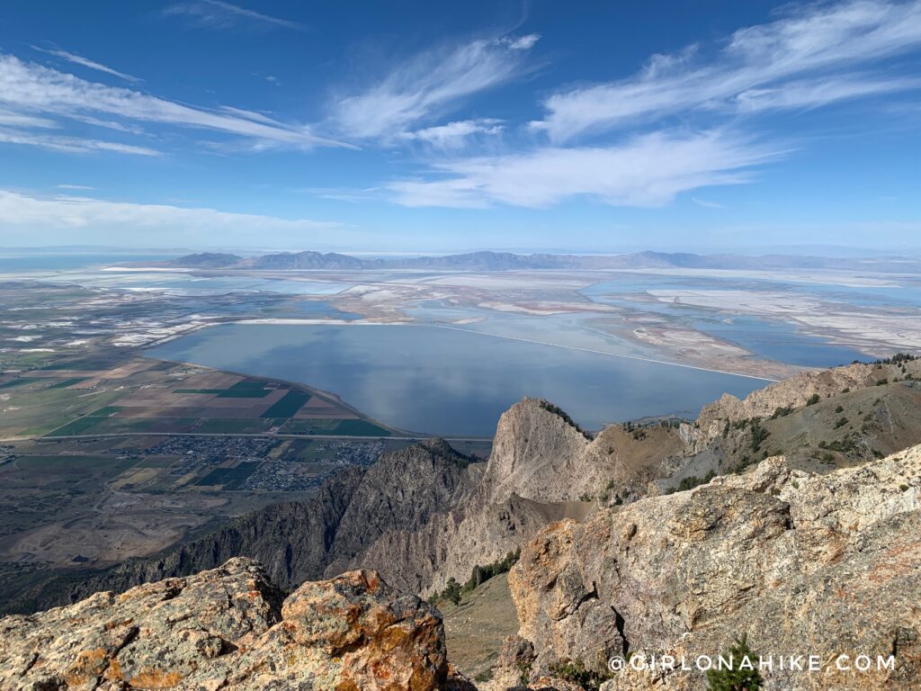
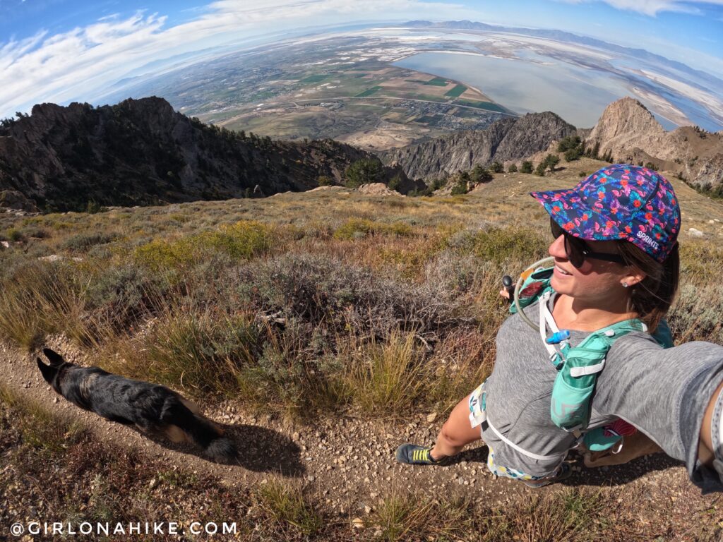
This is looking West to the Great Salt Lake with Willard Bay directly in view (closest).
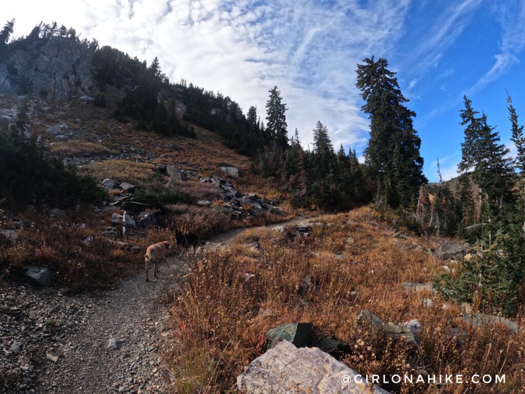
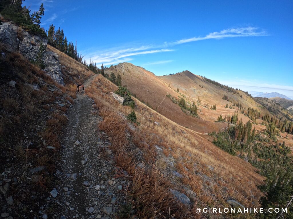
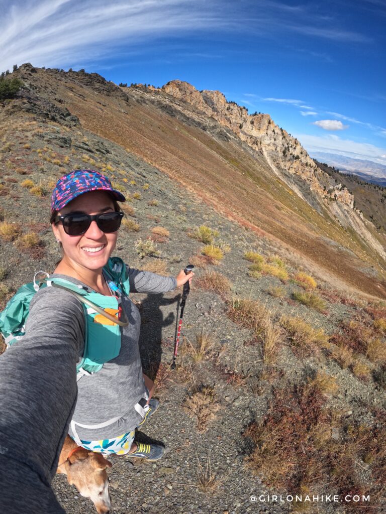
Back on the main trail, you will be hiking below Willard Peak, heading in a Southerly direction.
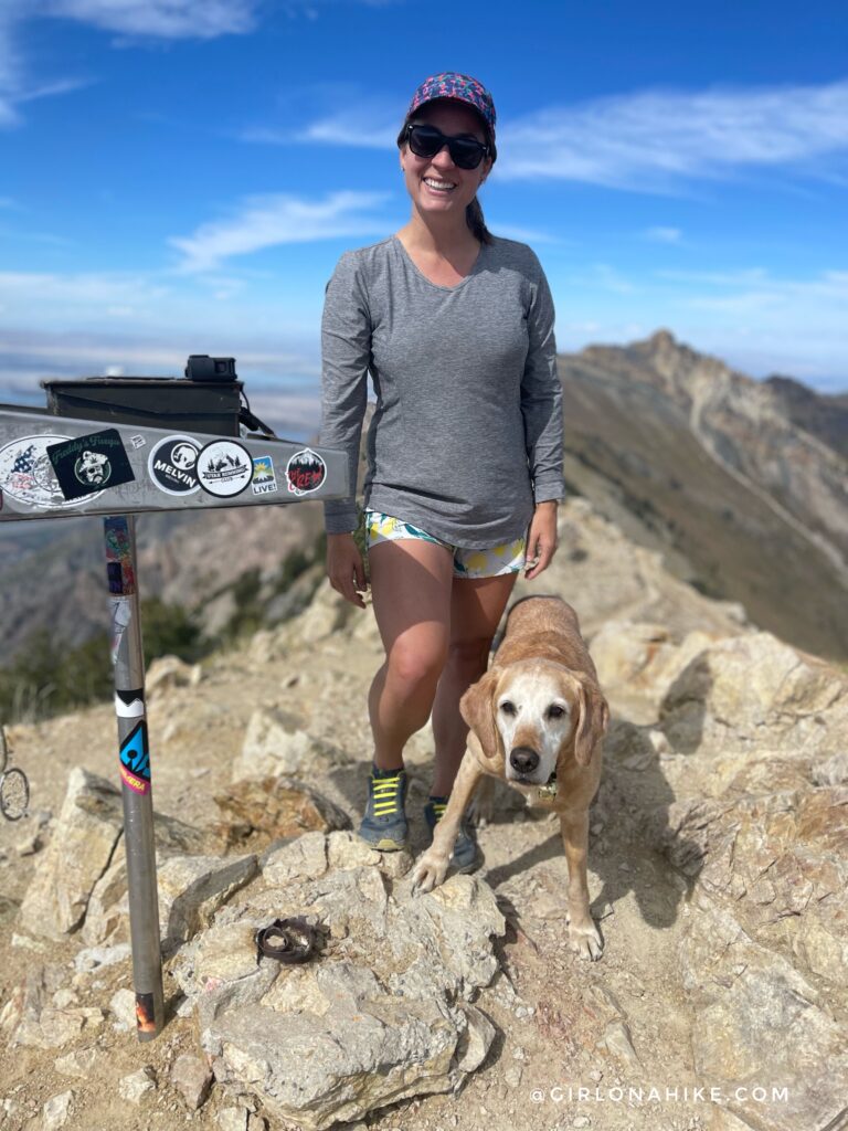
Looking back where we came from, Willard Peak! You can get this cute hat here!
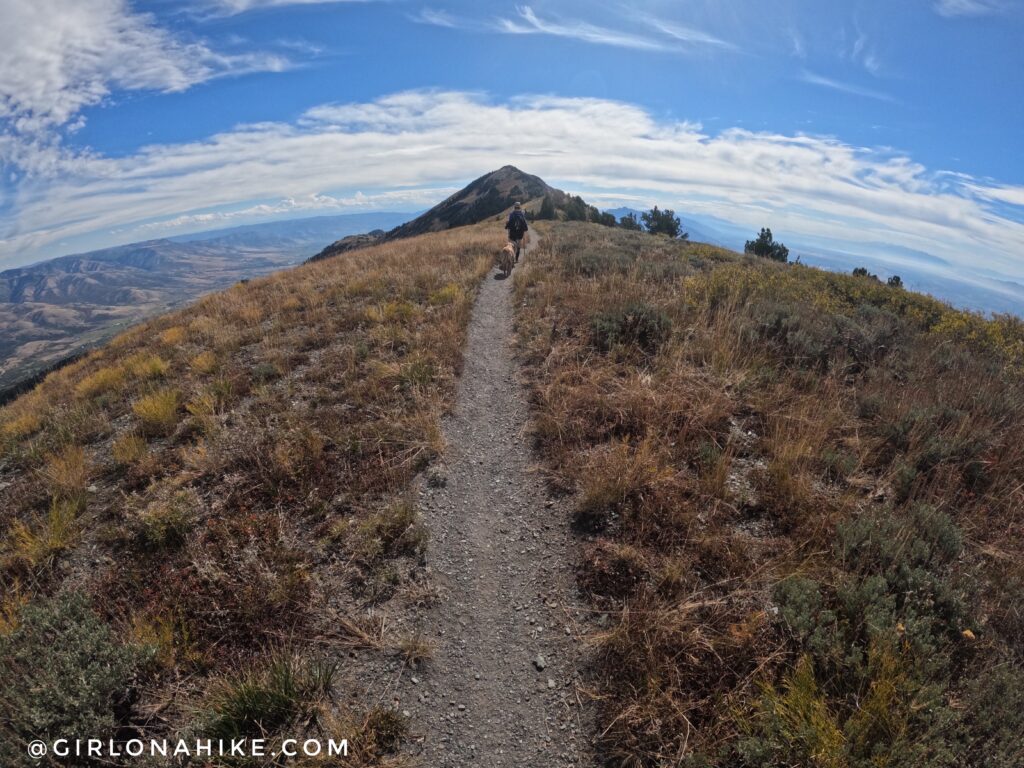
The next 2 miles are the easiest, as you hike along a well maintained trail to Ben Lomond Peak.
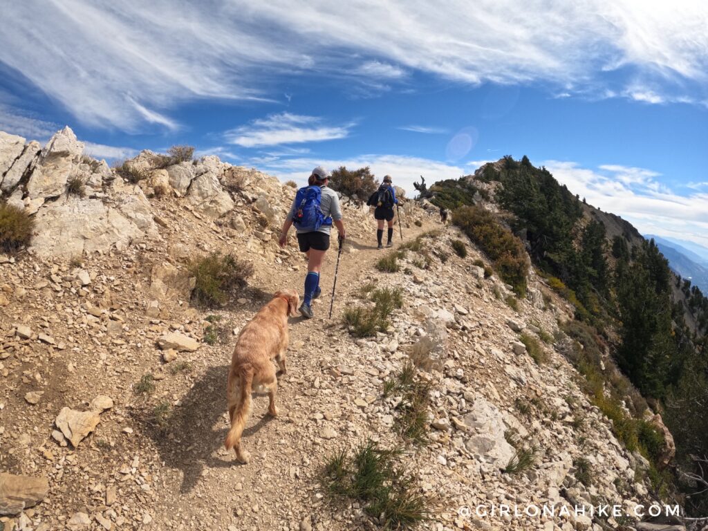
Keep following the main trail, staying on the ridge.
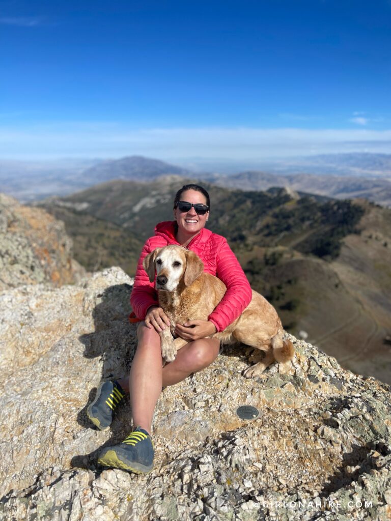
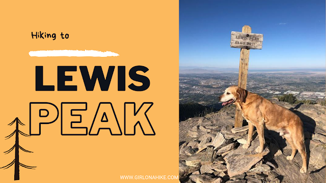
On the summit of Ben Lomond Peak – October 2022!
Fun Fact: Ben Lomond Peak was named after Ben Lomond in the Scottish Highlands.
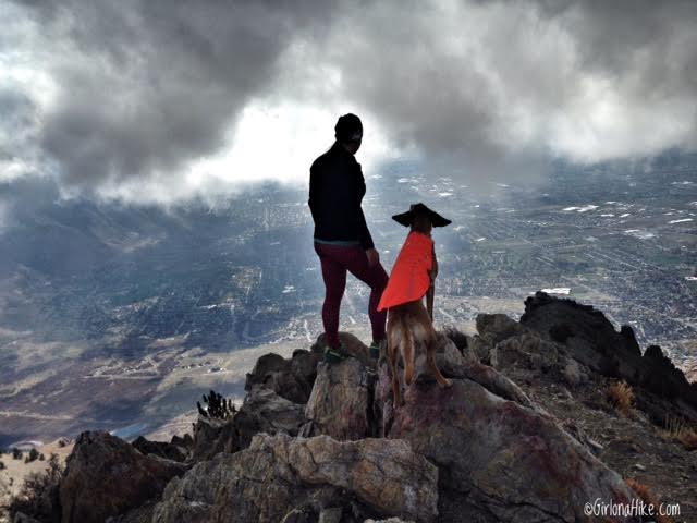
Taking in our view from our first time on the summit in 2016!

According to some sources, the Paramount Pictures Logo, known as Majestic Mountain, was modeled after Ben Lomond Peak. It is said that William Hodkinson, the founder of Paramount and a native of Odgen, initially drew the image on a napkin during a meeting in 1914. Do you see the resemblance?
Trail Map
My track via Gaia GPS – the best tracking app! Get your app here for a discount.
Recommended Gear
Nearby Hike

Save me on Pinterest!