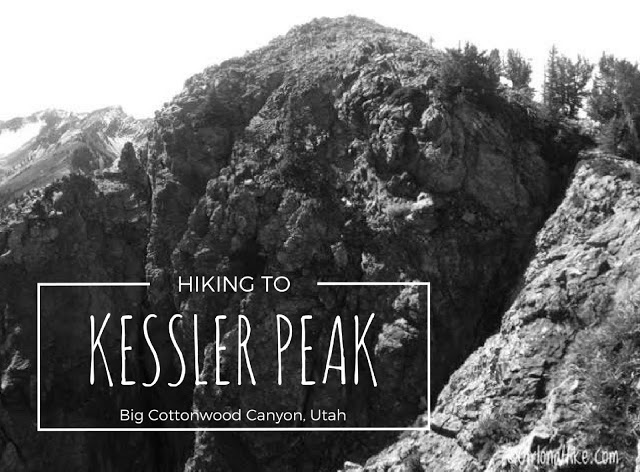
About
The best time to summit both peaks is Mid-June through October. Summer months offer a scenic, and very green trail, while Autumn has a lot to offer with the fall colors. You’ll want to avoid hiking/snowshoeing here in Winter due to the high avalanche terrain. Butler Fork has many “terrain traps” that increase the risk of getting caught in an avalanche. A few people have died in this area during Winter over the years. If you must go during winter, have all the necessary backcountry gear, including a beacon, probe, shovel, and other survival necessities.
Directions
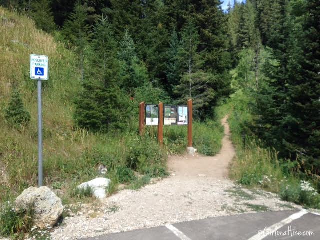
From SLC, head south on I-80, then south on I-215. Take exit 6 for 6200 S/Wasatch Blvd, and turn left. Turn left into the canyon at the entrance to BCC (where the 7-11 is on the corner). The Butler Fork Trail starts right after mile marker 10, on your left. Here is a driving map.
Trail Info
Distance: 9.8 miles RT
Elevation gain: 3,900 ft
Time: 5-8 hours
Dog friendly? No, dogs are not allowed in BCC due to watershed rules
Kid friendly? No
Fees/Permits? None
I arrived at the TH at 6 am, so this photo was taken when I got done, around 11:30 am. It was too dark to get pictures. The nice thing about starting early is the cooler temperatures and no people.
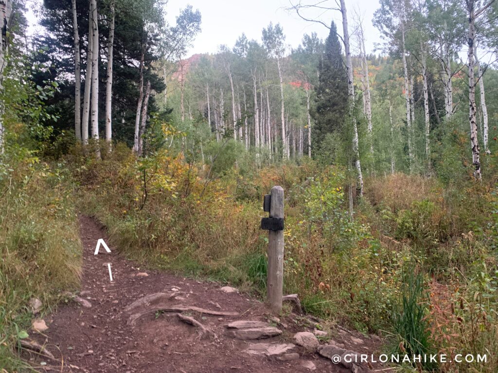
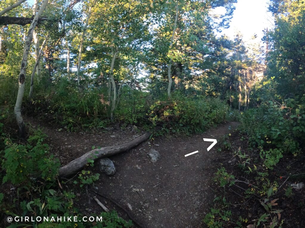
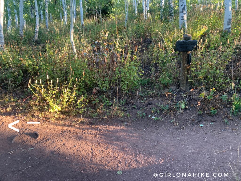
At the first trail split, turn left for Mill A Basin.
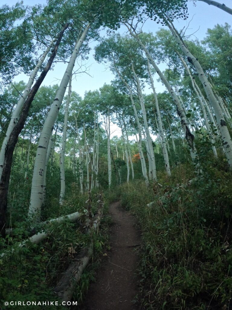
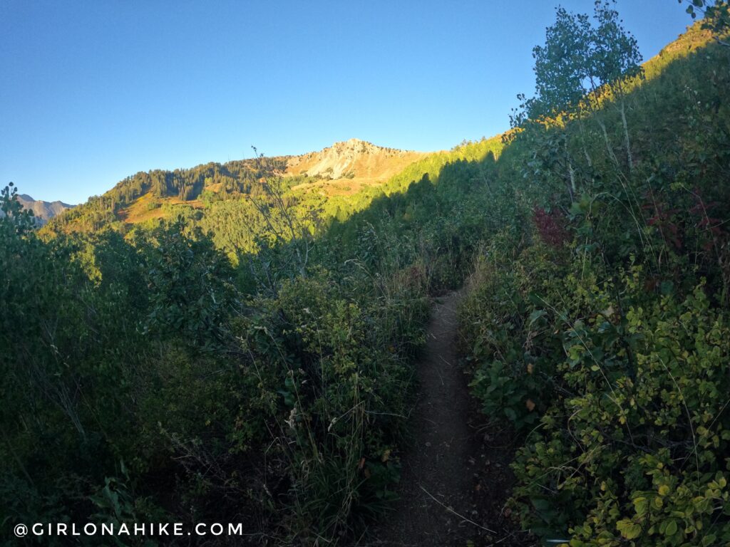
Tall aspen trees line the trail. In summer, this area can be quite overgrown.
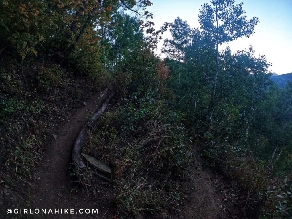
Though the trailhead map shows about three switchbacks, I counted 12.
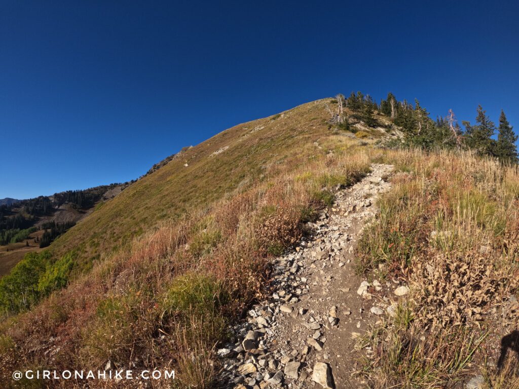
Finally, you’ll reach the first ridge line. Turn right. Going left will take you to Circle All Peak.
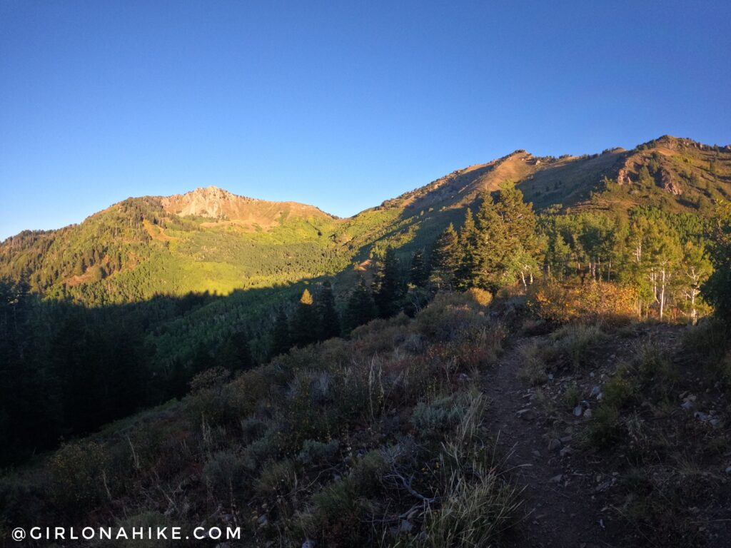
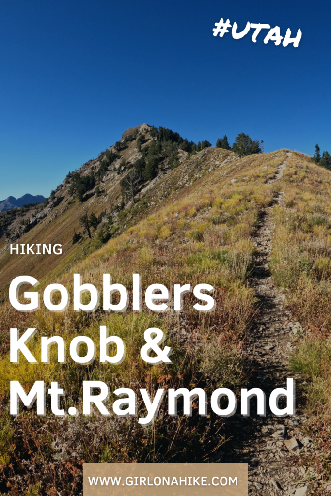
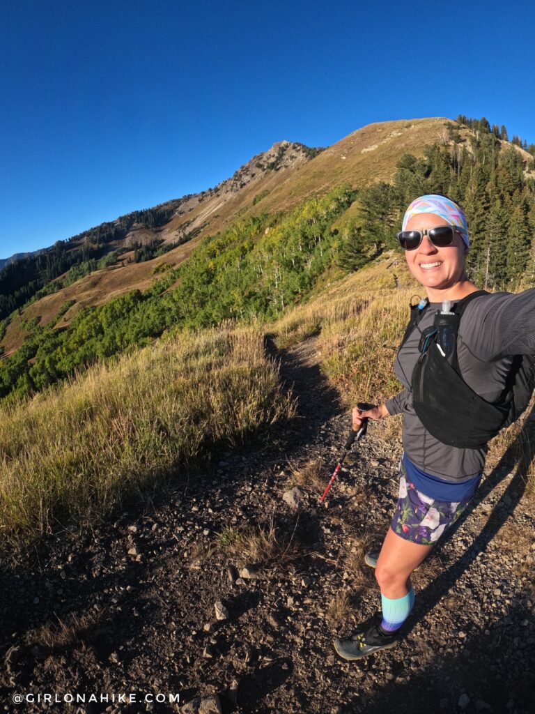
You now have your first full view of Mt. Raymond to the left and Gobblers Knob to the right. This is a false summit for Gobblers, as it actually sits further back.
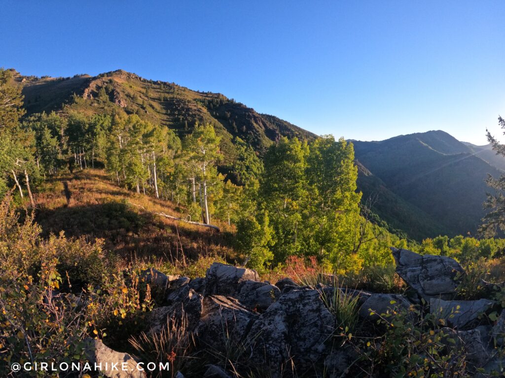
The trail briefly levels out. Such a pretty morning!
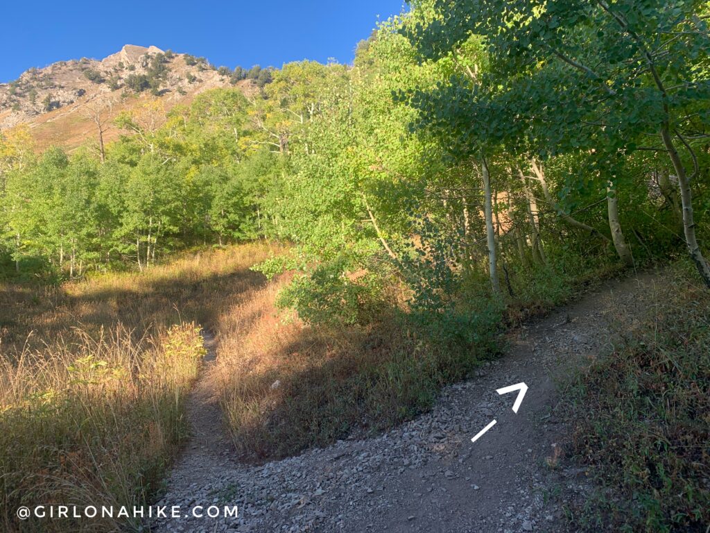
At the 2nd trail split, turn left for Mill A Basin.
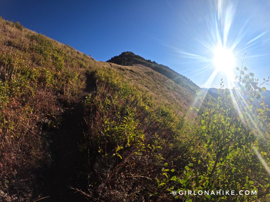
The trail levels out and gradually gains a little elevation over the next 3/4 mile.
It will feel as if you’ve missed the trail split for the saddle because you will start to head further West and be near the base of Mt. Raymond. However, you can’t miss it. There’s no sign of it, but there’s an apparent split to the right.
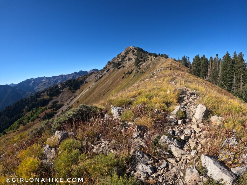
Work your way up to the saddle. Once on the saddle, you can choose which peak to do first. I chose Gobblers Knob simply so I could hike in the shade for as long as possible, and it seemed further away. In reality, they are both about 1 mile from the saddle.
At Baker Pass, stay right (East) to do Gobblers Knob first.
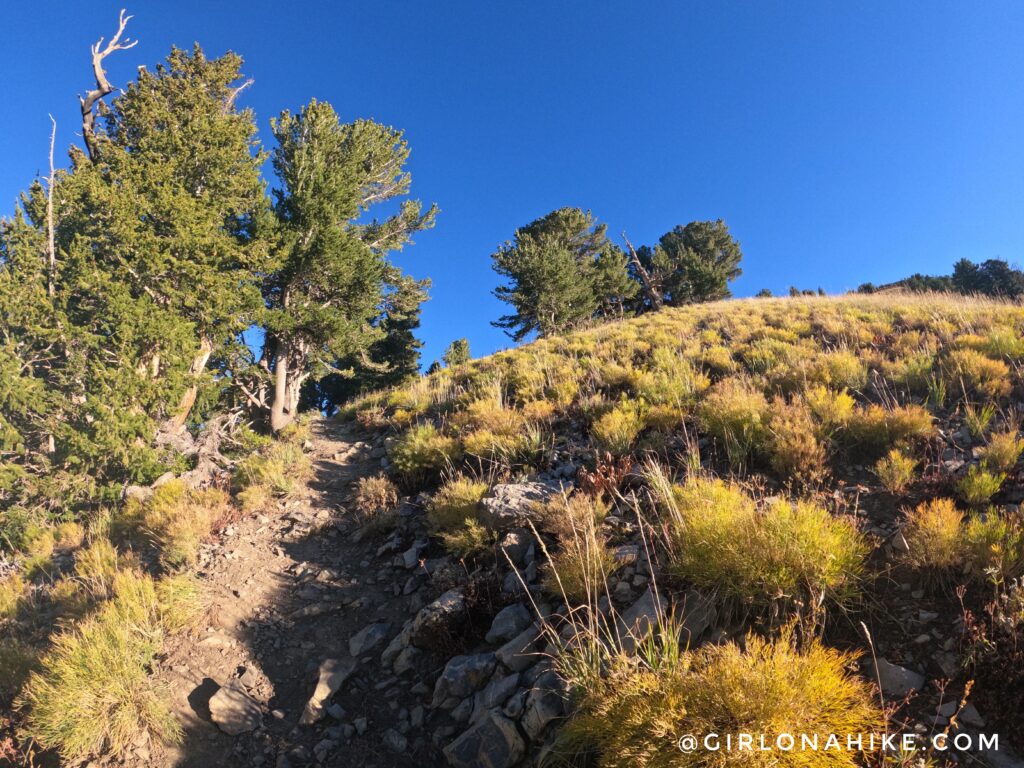
Hiking up the ridge to Gobblers. Gobblers Knob is a little easier than Mt. Raymond, only in the sense that no scrambling is required. It’s pretty steep!
Gobblers Knob is only a few feet away!
Gobblers Knob summit!
Exploring the summit. I had the peak all to myself! This is looking North into Millcreek Canyon. You can access Gobblers Knob via the Bowman Fork Trail in Millcreek, and dogs would be allowed this route since it’s not a part of the watershed.
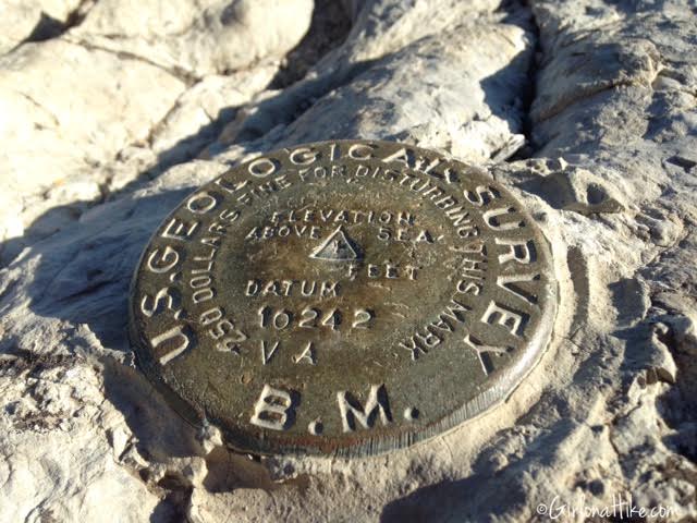
Summit marker for Gobblers Knob.
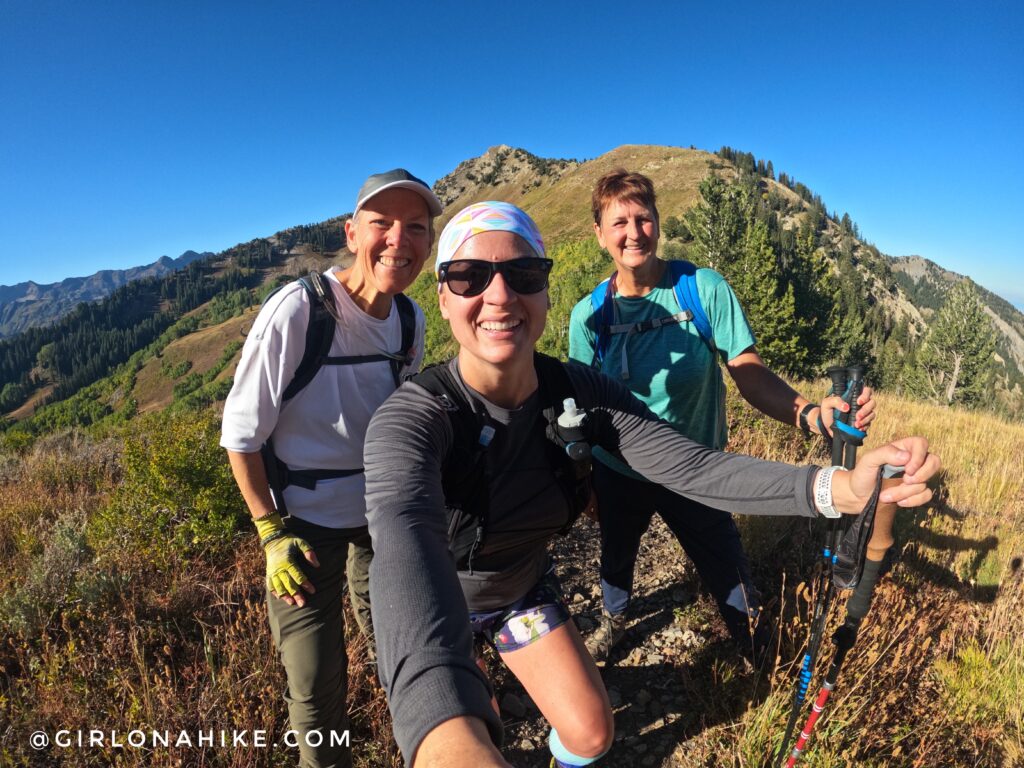
These lovely ladies, Claudia and Kileen, recognized me haha! I love running into trail friends 🙂
To get to Mt. Raymond, head back down to the saddle, then up the other side.
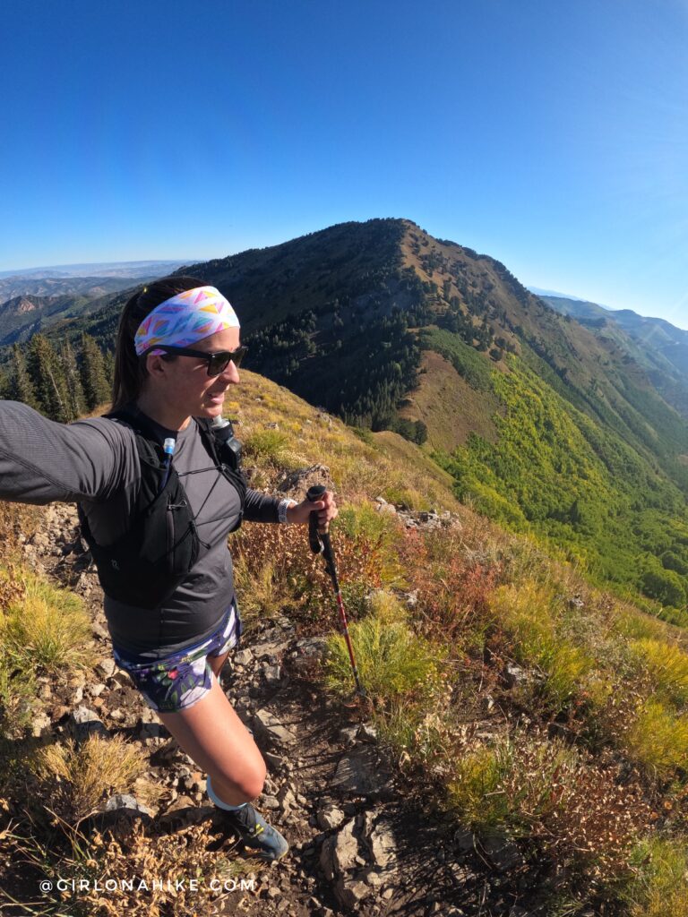
Whew! That first section getting up to Mt. Raymond is steep!
PS save 10% on your headband order from Lilac Market, just use the code “HIKE” at checkout!
Getting so close!
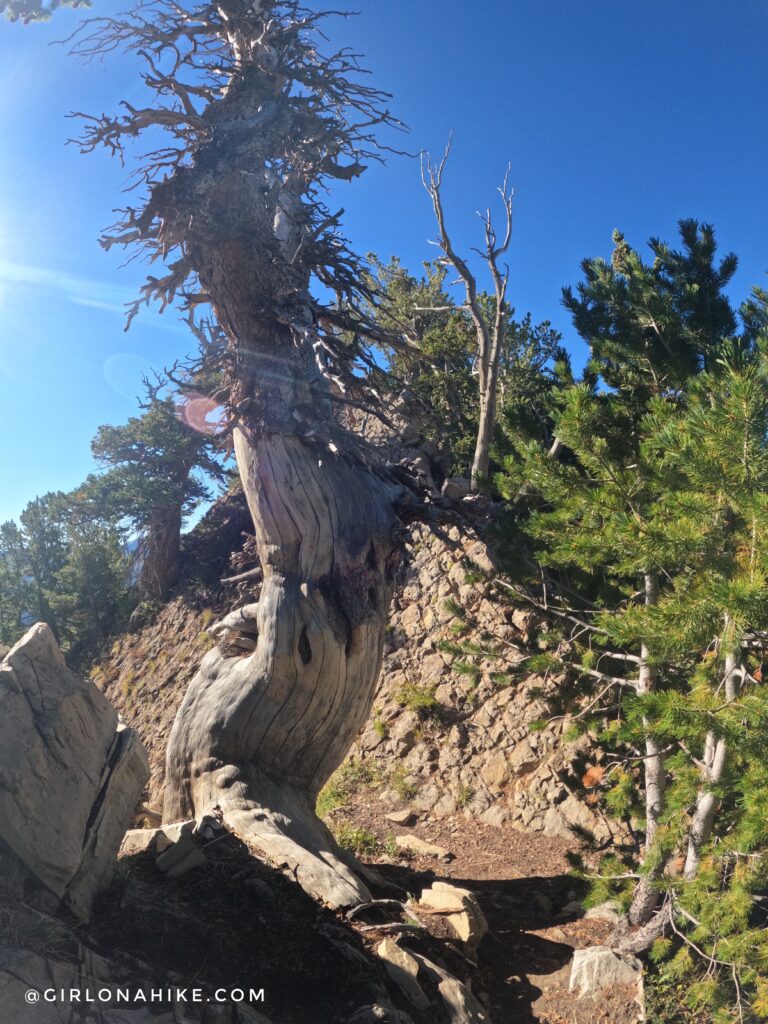
You are about to start your light scramble when you reach this large, old tree. I made sure I put everything inside my pack, including my adjustable hiking poles.
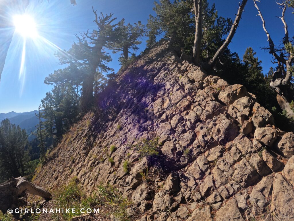
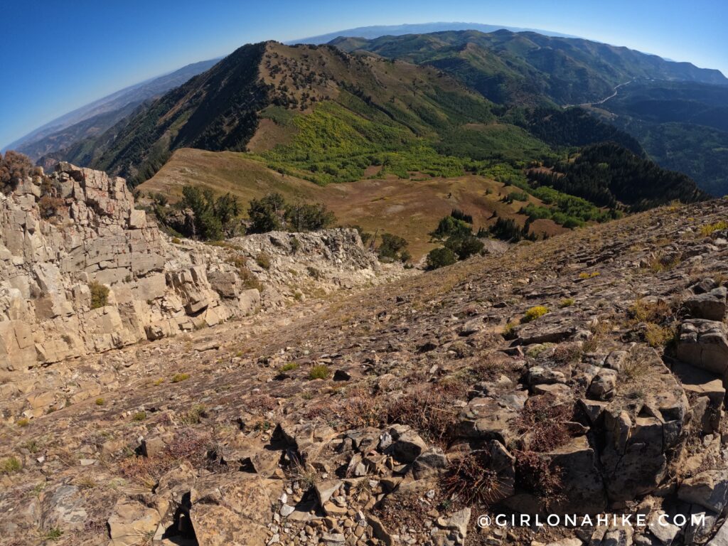
This scramble isn’t tough at all – it’s actually one of the easier scrambling sections you’ll find in the Wasatch. There is no knife edge or sheer drop-offs on either side, but you’ll still want to watch your footing. Don’t take any of the trails that drop-down – you’ll create more work for yourself by having to hike back up. Stay on the ridge, and you’ll reach the peak.
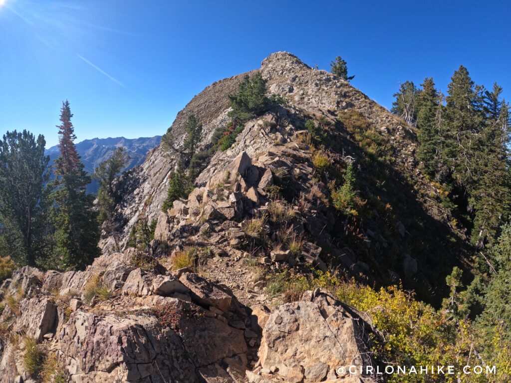
The last push to Mt. Raymond!
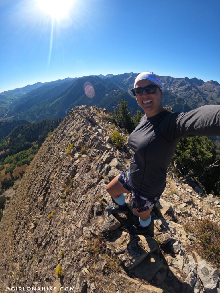
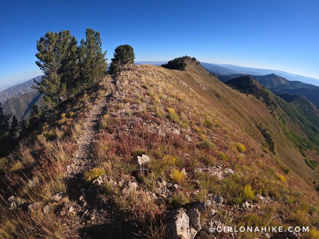
Walking along the edge of Mt. Raymond. I love this slanted rock area!
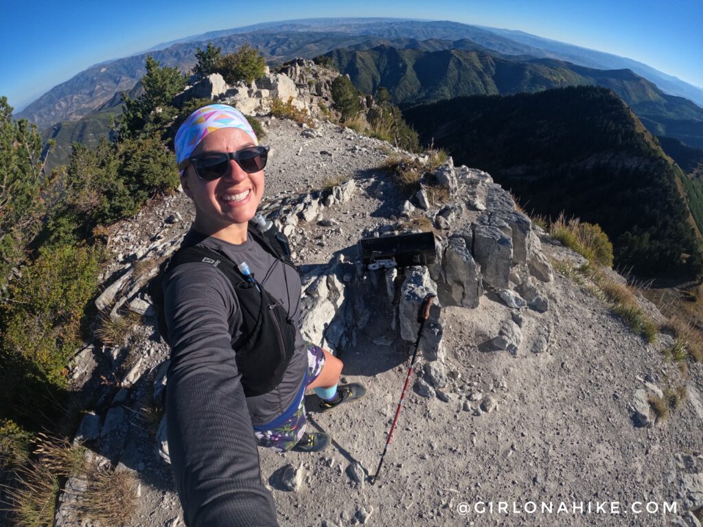
Mt. Raymond summit looking over to Gobblers Knob, where I came from. So cool!
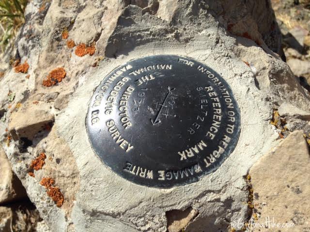
Mt. Raymond summit marker.
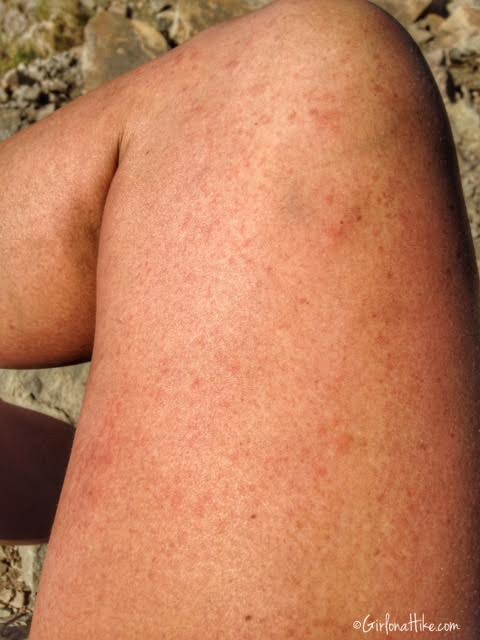
Somehow I got a rash and tiny red dots all over my leg. Some people on the trail told me it was probably Stinging Nettle since they had seen some on the trail earlier. I don’t know how nor remember rubbing up against anything! It started to itch and spread quickly. All I could think of was to squirt water on my leg to try and wash it off. It seemed to work.
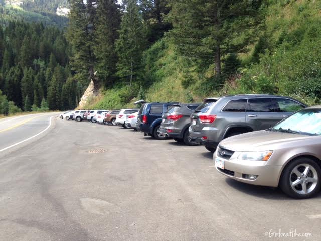
By the time I got back down to the parking area at 11:30 am, it was completely full! I’m always glad I start super early to beat the crowds – on my way down the Butler Fork trail, I passed around 8 people on a Monday. Weekends are even busier.
Check out my video!
Trail Map
My track via Gaia GPS – the best tracking app! Get your app here for a discount.
Nearby Hike

Save me on Pinterest!