About
For our hike, we chose to follow the Byrd Creek Trail, which follows the creek, is very shaded and fully forested, crosses the Boy Scout Bridge, and creates a 3 mile loop. It was perfect to walk off those Thanksgiving calories!
Directions
If you are traveling from Knoxville, TN use this driving map.
Trail Info
Distance: 3 miles RT (loop)
Elevation gain: 66 ft
Time: 1-3 hours
Dog friendly? Yes, on leash
Kid friendly? Yes
Fees/Permits? None
Make sure you stop by the visitor center to get a trail map and get your Tennessee State Park Stamp Book. It’s just like the National Parks Stamp Book, but for Tennessee’s State Parks (plus they are free)!
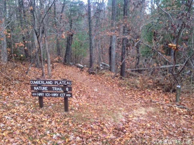
The hike starts just to the north of the restaurant by the bridge. It’s easiest to park at the restaurant, then walk to the TH. You should see this sign for “Cumberland Plateau Nature Trail”.
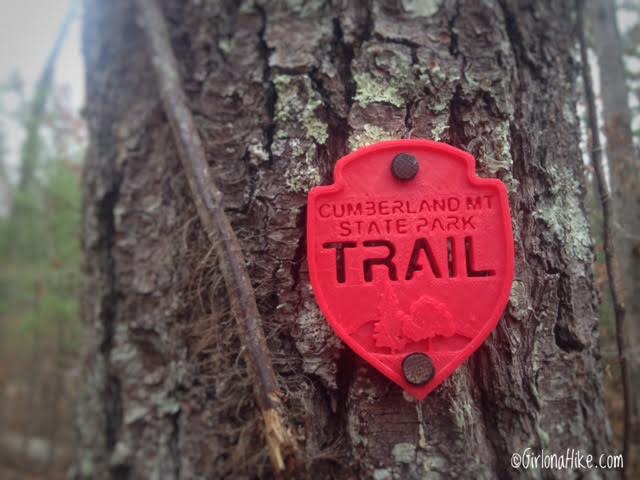
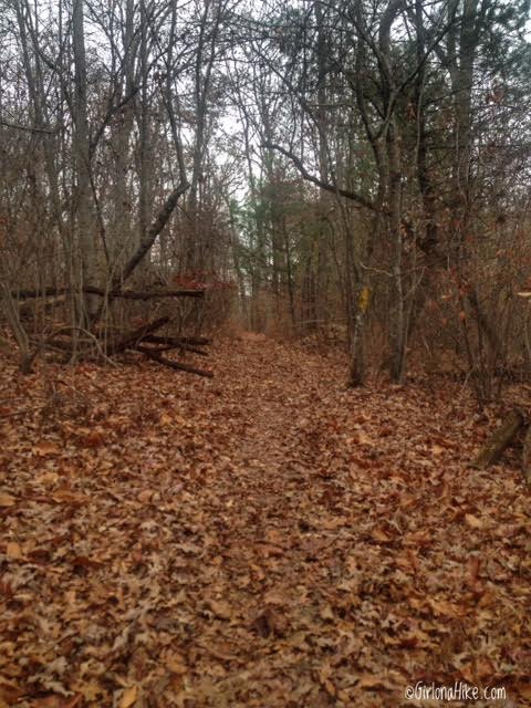
The trails in this state park is really well marked and color coded! You’ll start out on the red trail.
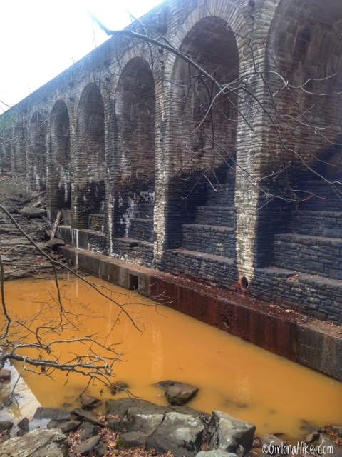
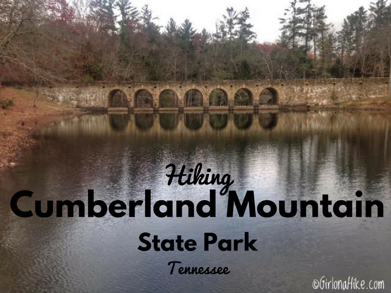
Within the first 5 minutes you’ll end up behind the CCC bridge. This is the largest masonry structure built by them in the world, and was completed in 1938. The dam is faced with local Crab Orchard Sandstone. The dam was closed but some water was still dripping out, and as it flowed over the rust, it created this orange pool of water. Kinda gross!
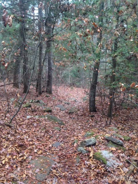
Follow the trail north.
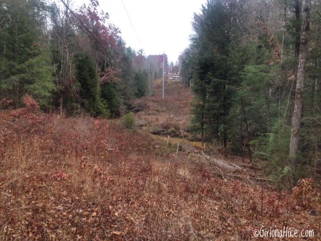
You’ll cross this wide open area for the electric poles. As you make your way back on the loop, you will actually be hiking on the other side of Byrd Creek. The campground is over there too.
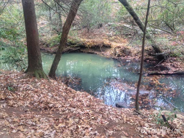
Once the trail meets up with Byrd Creek, it has already changed colors from the yucky orange to the very blue color. If you bring your dogs here, I wouldn’t let them drink out of the stream. The water was pretty stagnant and gross.
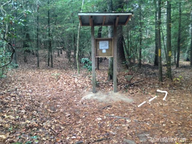
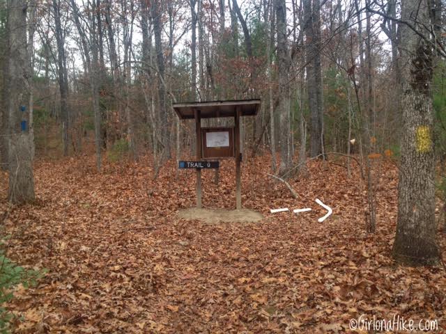
You’ll see this small billboard, which has the map. From here, keep right.
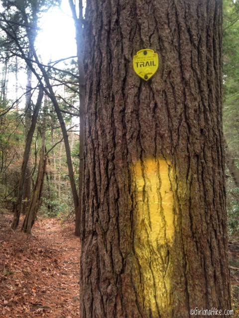
You should now be on the yellow trail.
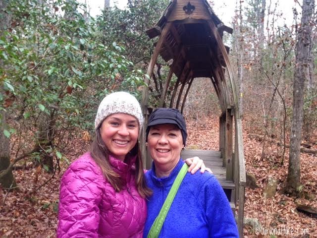
My mom and I crossing the Boy Scout Bridge. This bridge was built for an Eagle Scout project. It cross a dry stream bed.
Just after the bridge you’ll see another trail split. Stay right again.
The trail is flat the entire loop – it gains a mere 66 ft! This would be perfect for a trail run.
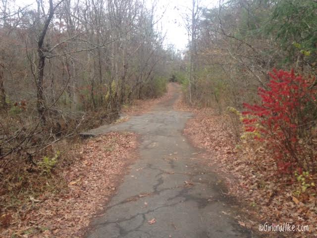
You’ll reach the “Old Road” and walk along this for a few minutes. This section is pretty noisy – you are right next to the main road leading into Crossville, TN.

One last trail split sign. From here, make your way back along Byrd Creek and back to your car.
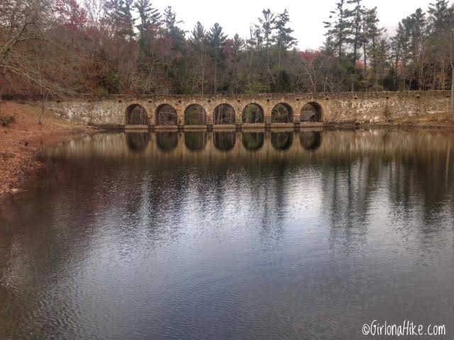
The CCC Bridge as viewed from the restaurant.
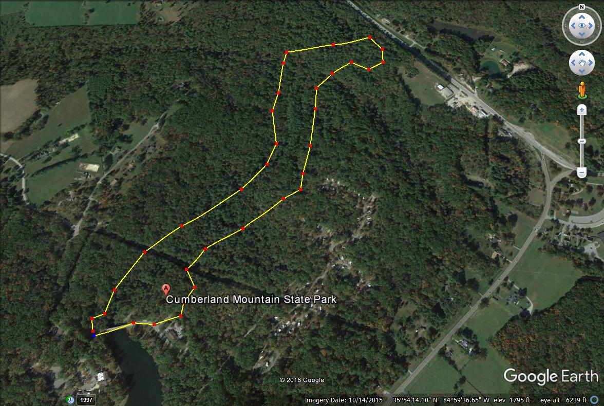
Our route via Gaia GPS. It took my mom and I just over 1 hour to complete the loop.
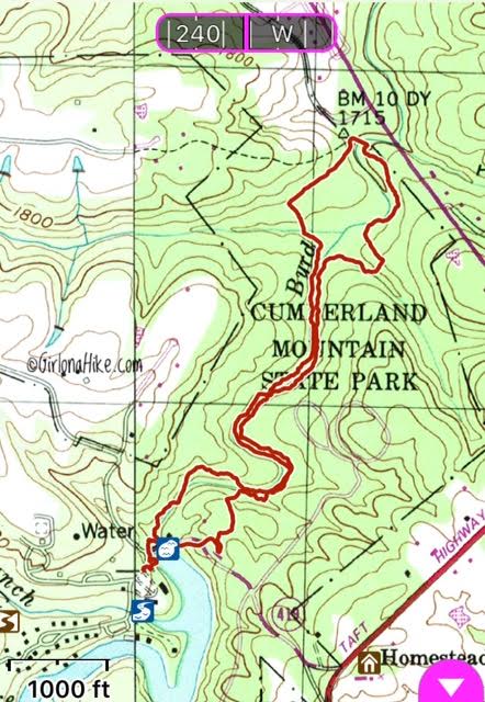
Trail Map
 Trail map looking North.

Save me on Pinterest!