About
My friends and I weren’t up for that much of a hike – our goal was Kelsey Peak. Before you reach Kelsey Peak, you can knock out Butterfield Peaks, and White Pine Peak. The trail is easy to follow – you mainly stay on the ridge the entire time. Only the first two miles are shaded. It’s a good idea to start this hike early in the morning to beat the summer heat, stay in the shade a little longer, and stay cooler. You’ll want to carry a minimum of 3L of water.
Directions
Use this map if you are driving from SLC.
Butterfield Canyon is only open June 1 – October 30th. Small, passenger cars can easily make it. There is a large parking area of the top of the canyon where the trail starts. The road is very narrow and winding.
Trail Info
Distance: 10 miles RT
Elevation gain: 3,833 ft
Time: 7-9 hours
Dog friendly? Yes, off leash
Kid friendly? No
Fees/Permits? None
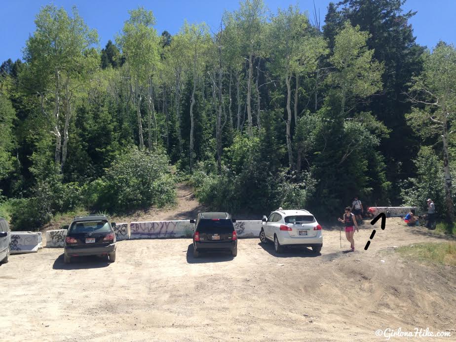
The trail starts right behind the barricade in the SW corner of the parking lot. As soon as you step around the barricade you’ll see a trail heading directly south – you’ll want to veer left, uphill. The trail should head up and almost directly south. If you start heading down, you took the wrong trail.
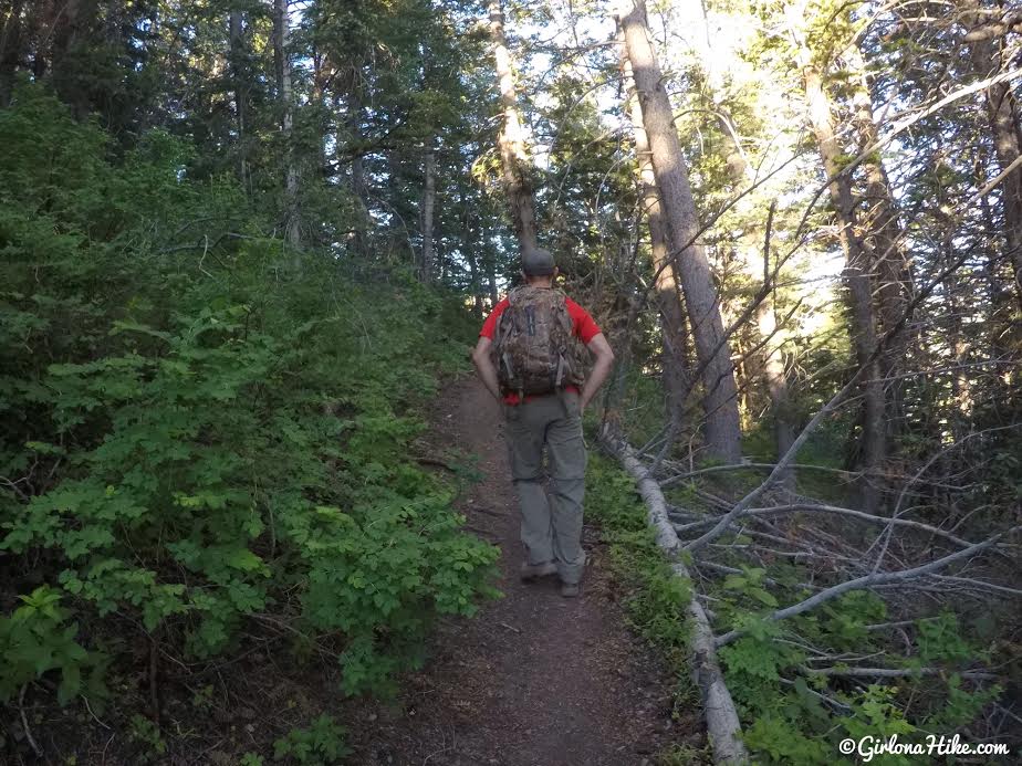
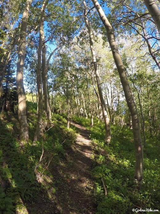
The first 2 miles if very green and shaded. You should be hiking uphill the entire time. In late June all the wildflowers were blooming!
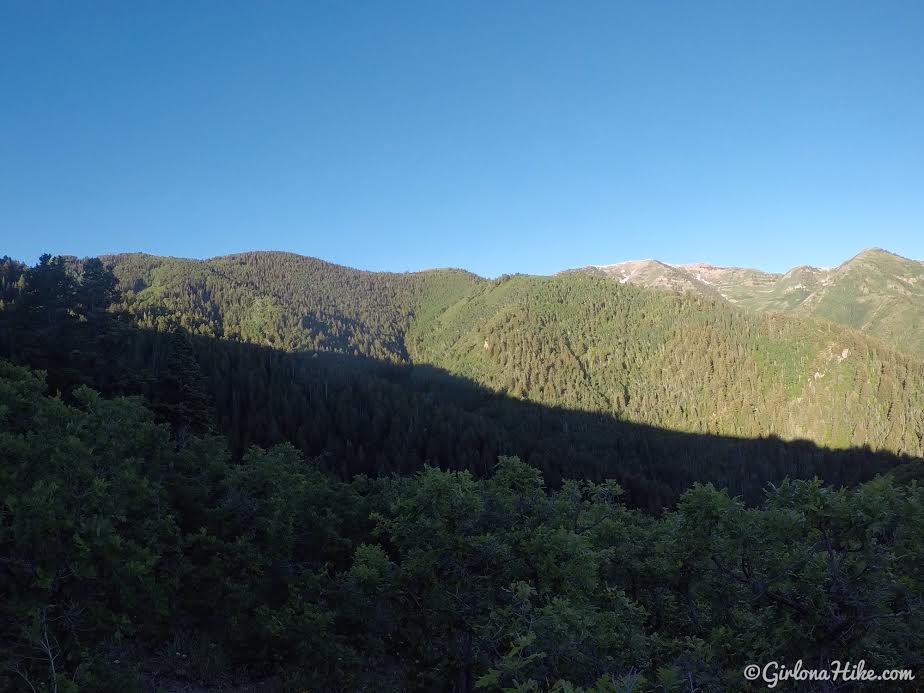
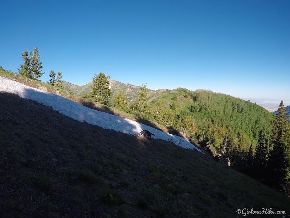
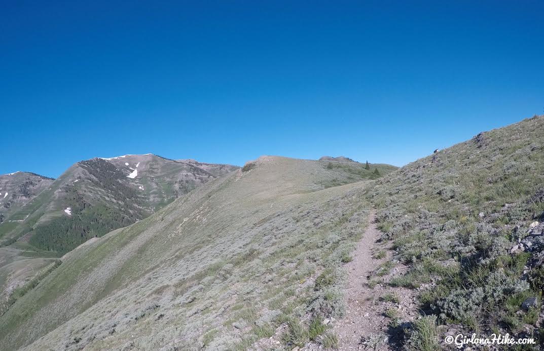
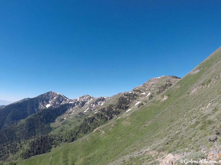
Your first open view – you can’t see Kelsey Peak yet, but the peak with the snow on it is White Pine Peak.
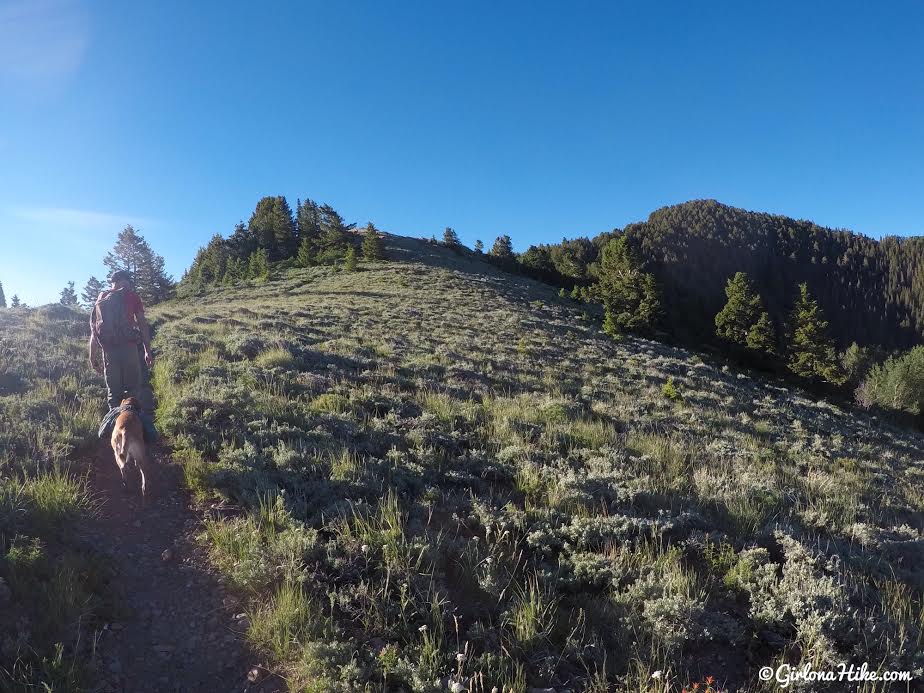
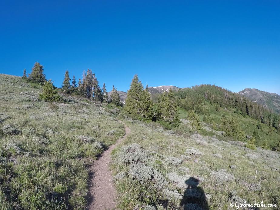
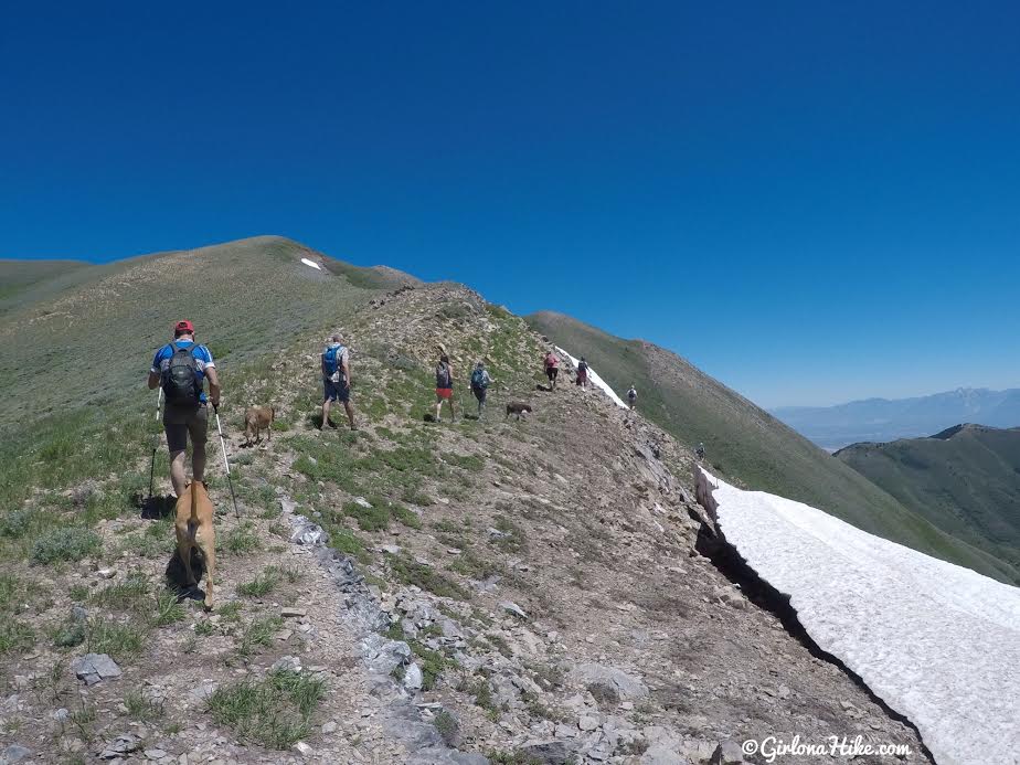
Staying near the ridge, the trail is very well defined. The peak ahead is Butterfield Peaks.
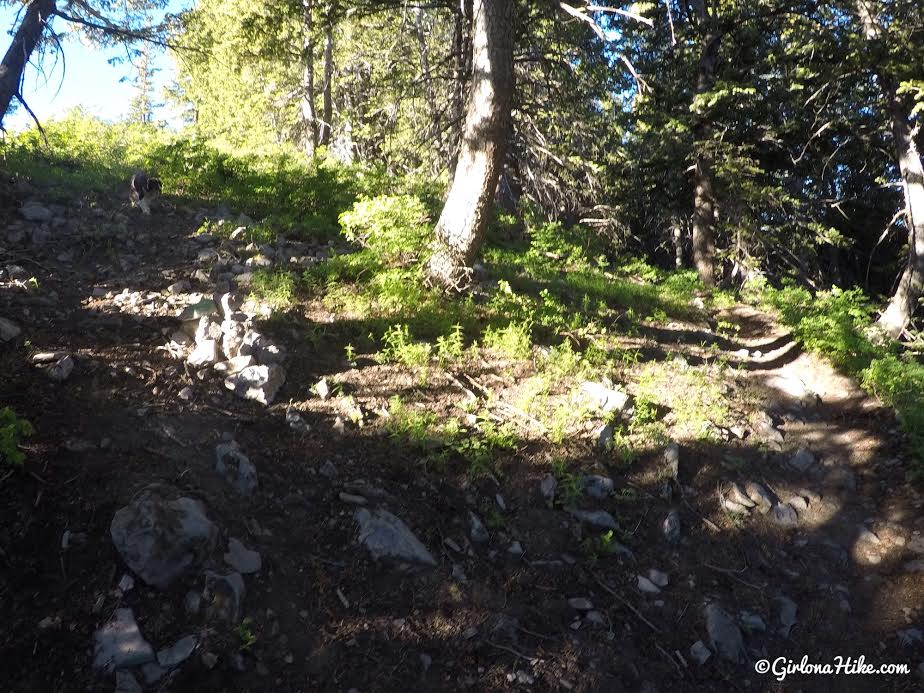
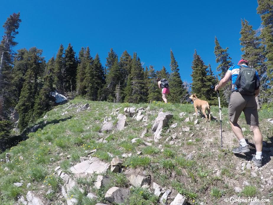
You will see a trail split around 1.75 miles. A cairn may or may not be there. Either trail takes you to the summit. We chose to stay right to stay in the shade longer for the dogs.
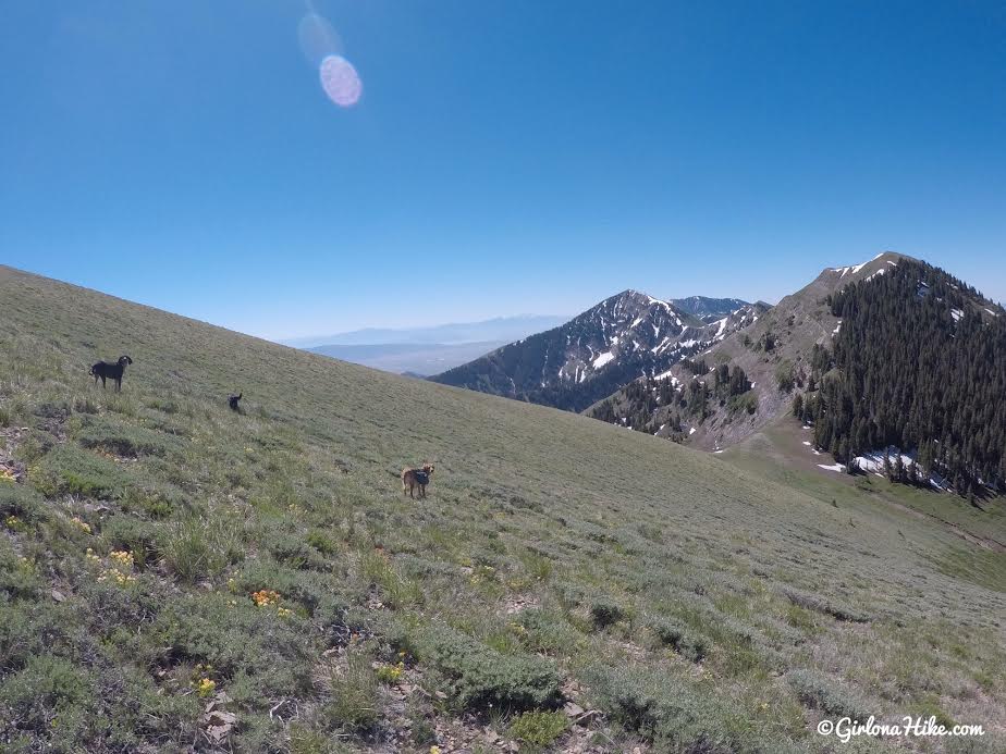
When you reach the next ridge, head East to get up to the peaks. A little bit of snow remains in late June.
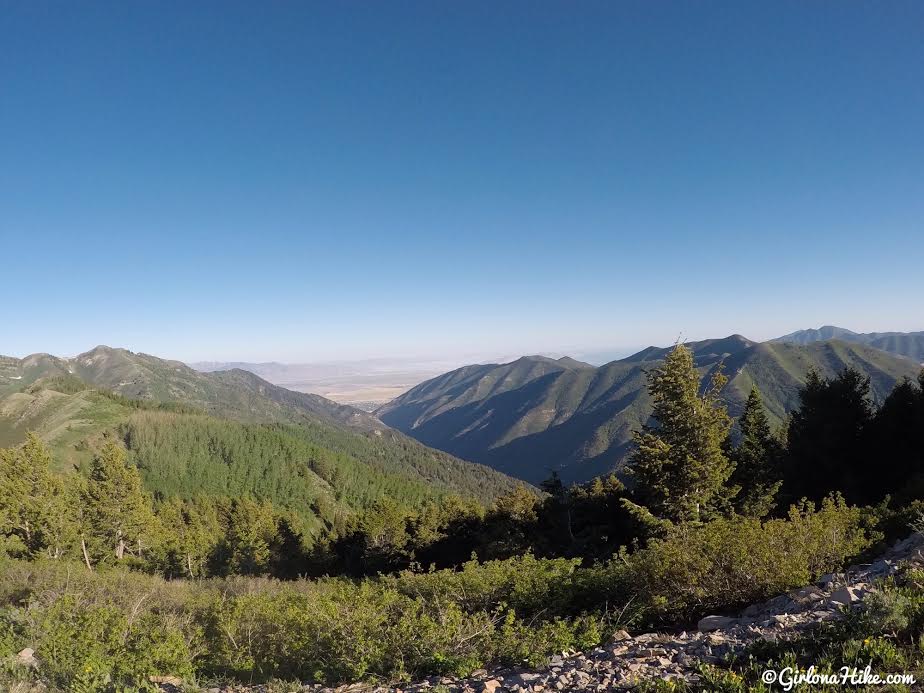
Working our way up to Butterfield Peaks, you should have an amazing view looking down to Tooele, UT (for all the non-Utahans reading this you pronounce that town like “too-ella”, not “tool”).
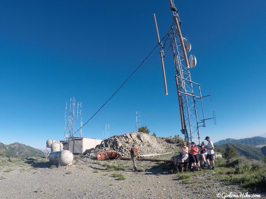
You’ll reach Butterfield Peaks at mile 2. This is the radio tower that I believe is still running/working. We took our first real break here, had a snack, and generously applied sunblock for the hike ahead.
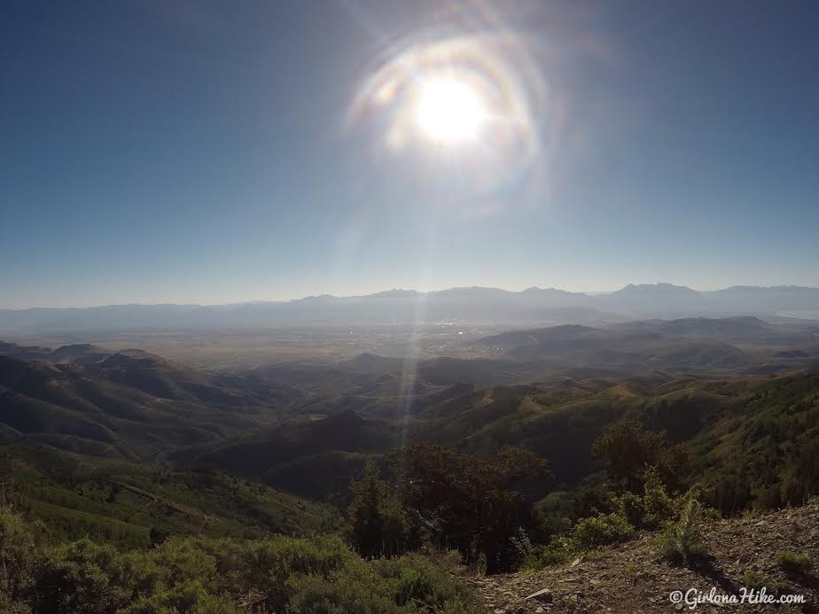
The view from Butterfield Peaks looking East. It was kind of a hazy morning so you can’t really tell that that is SLC out there. The mountains across the valley are the Wasatch.
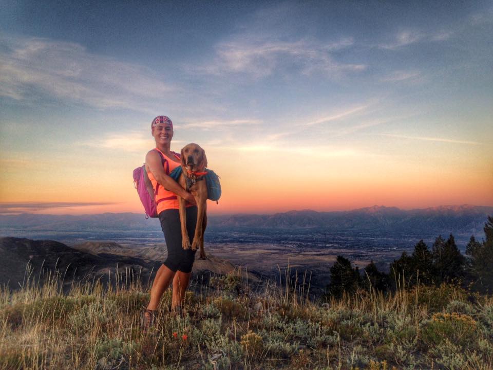
This photo was from September 2015, the first time Charlie and I summited Butterfield Peaks as a sunset hike. Looks a little different at night!
On the summit of Butterfield Peaks, looking South. The tall peak above my head is Lowe Peak. The highest peak to the right is Kelsey Peak – our destination.
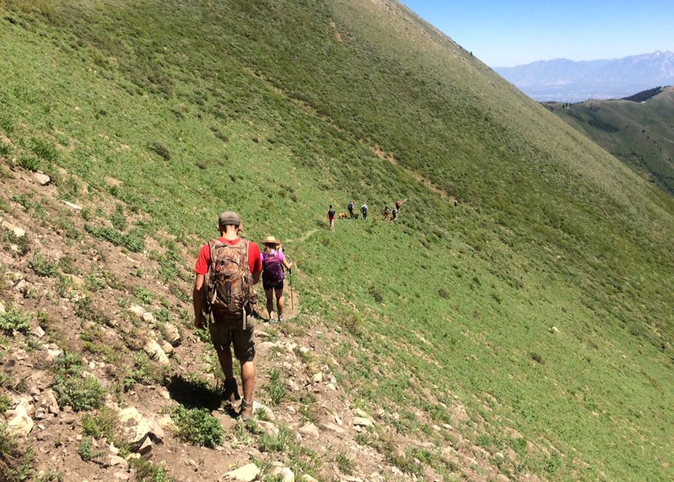
From Butterfield Peaks, follow the ridge trail West. The trail will favor the northern side of the ridge, where you’ll have shade for a few more minutes.
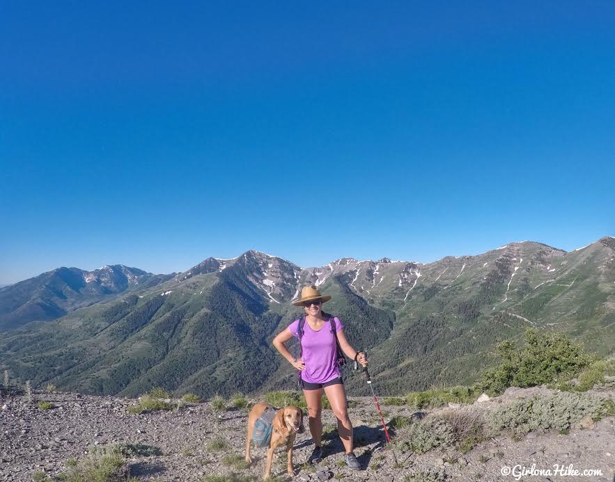
So green and forested! Many people don’t realize how pretty the Oquirrhs really are.
Eventually the trail will favor the south side of the ridge. From here make your way down to the pass. That ridge to the far left is where you’ll hike up and make your way to White Pine Peak.
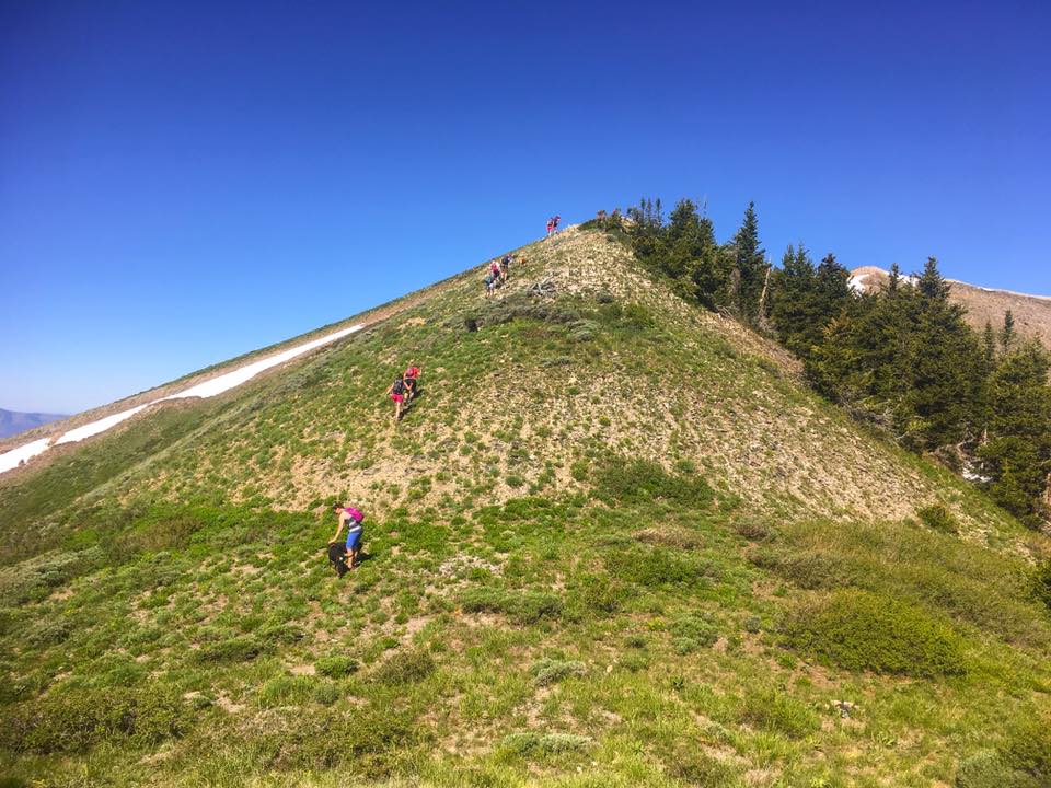
At the pass. Ready to hike up a long, steep section.
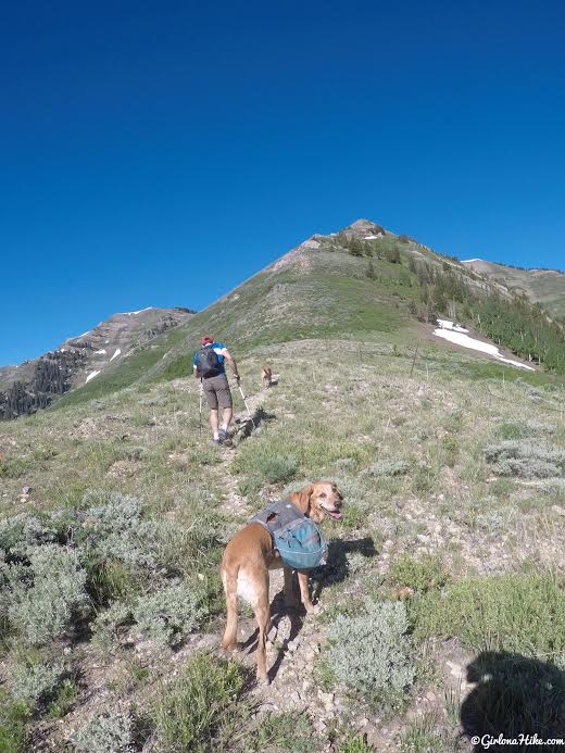
The dogs blaze the way for us.
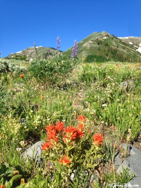
Indian Painbrush & Lupine flowers everywhere!
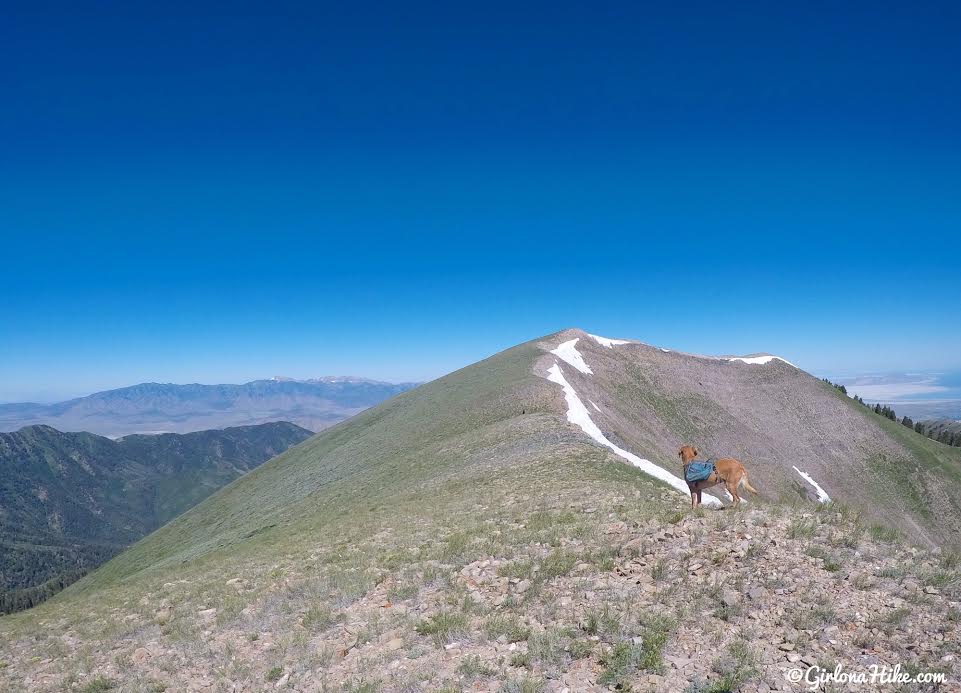
This shows how steep this ridge is. Kelsey Peak is to the right, Lowe Peak to the left.
Taking a break on the ridge. Butterfield Peaks is now right above my head.
The trail along the ridge can be very faint at times, but as long as you stay on the ridge you’ll be fine.
Last stretch to White Pine Peak.
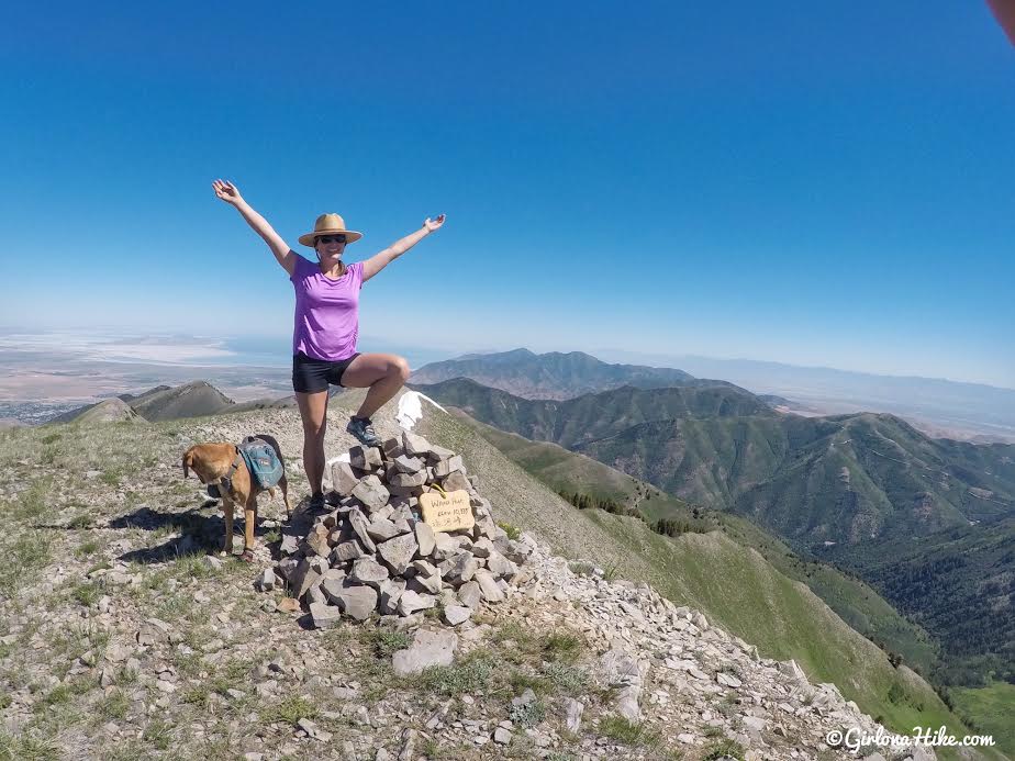
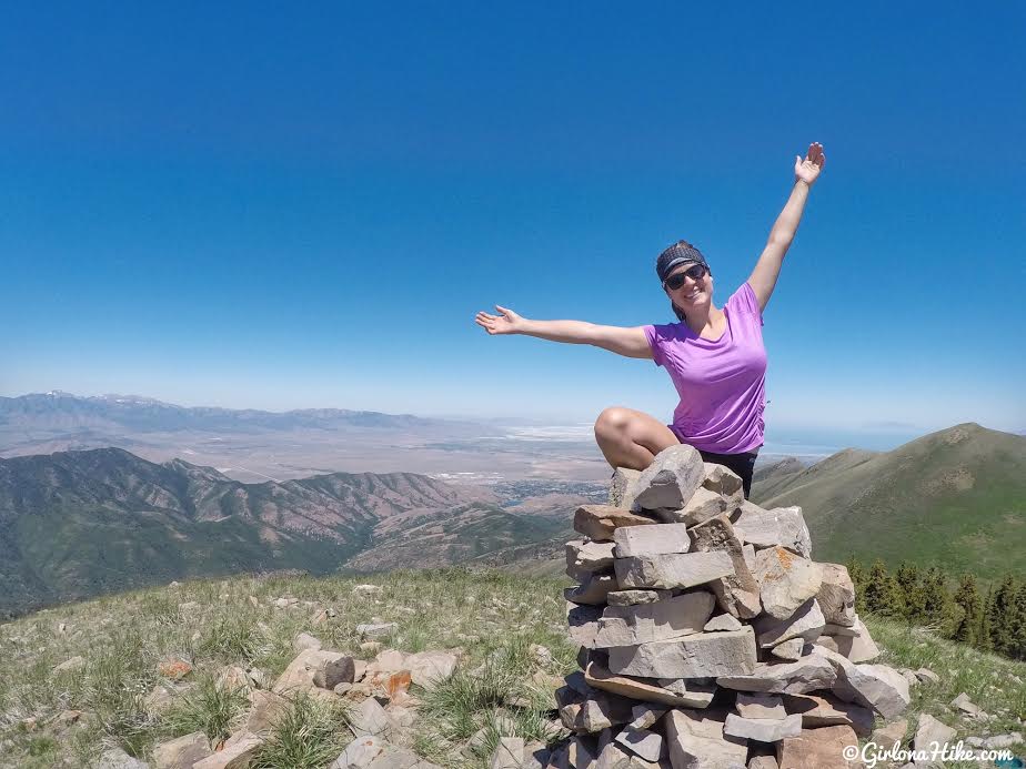
On the 2nd summit of the day – White Pine Peak (10,321 ft). Someone did a nice job of placing a summit sign there (reading Mt. Wans and some Chinese writings), and a nice/new summit register. The ziplock bags looked brand new. There were also two water bottles.
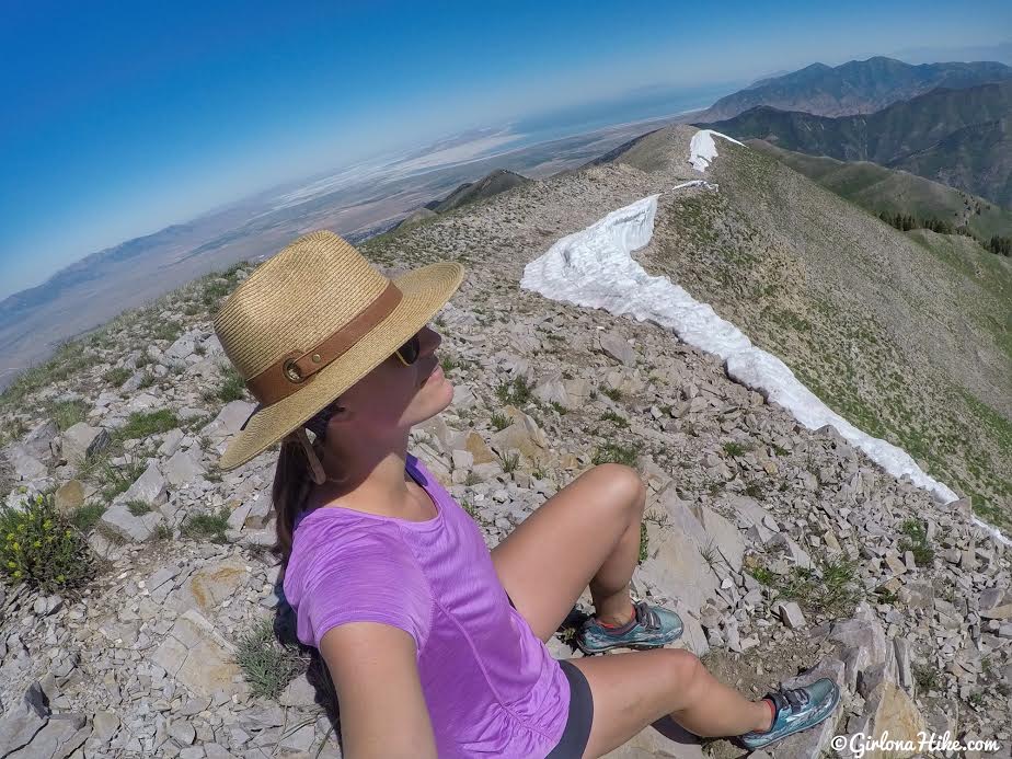
We hung out on the summit for a bit, taking in the awesome view.
Next, we started to hike over to Piney Pass. We cut across the side of the mountain so we didn’t have to hike up and over again. There’s no trail here, just aim for the pass.
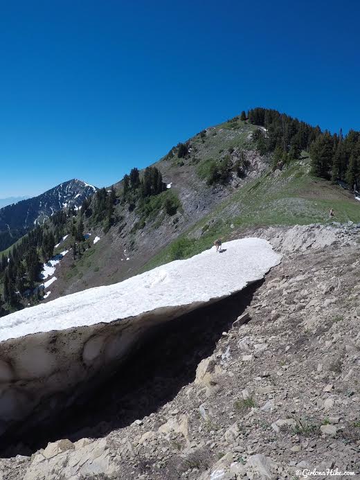
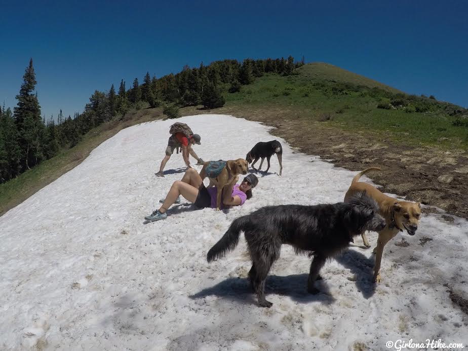
A big snow patch was still present at Piney Pass.
From Piney Pass, just stay on the ridge as you make your way to Kelsey Peak.
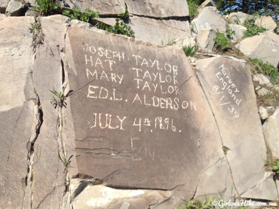
Real or vandalism? Looks like brand new carvings to me, though I’m not sure why someone would fake a year like that.
On the summit of Kelsey Peak, looking NW.
Deseret Peak is the snowy mountain to the far left (West).
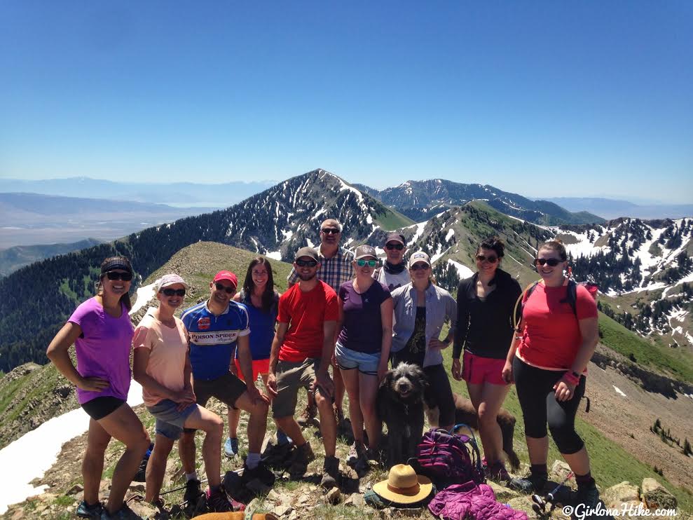
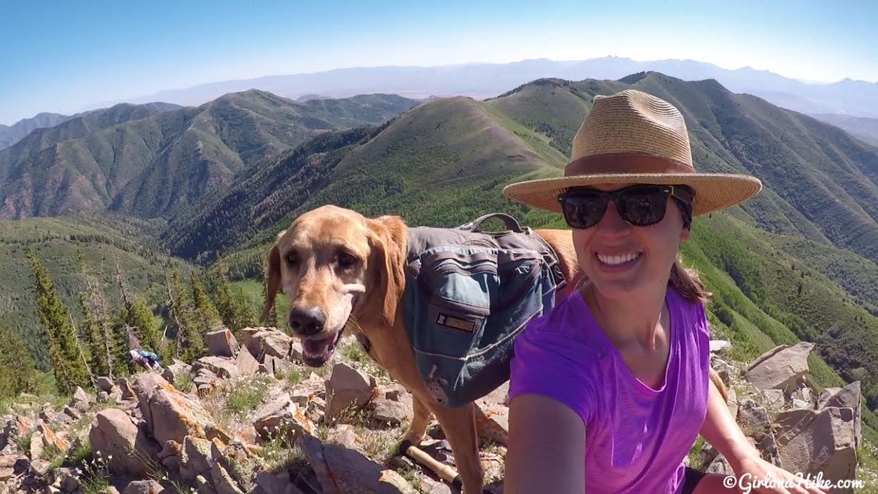
Summit #Selfie with the gang!
This is on Kelsey Peak looking South to Lowe Peak. From Kelsey, Lowe is another 2 miles one way.
On the way back, we took the shortcut route. Once you get back to Piney Pass, follow the faint trail that cuts across the middle of the ridge you initially hiked up. If you had no interest in summit White Pine Peak, you could take this over to Piney Pass instead of hiking up the ridge like we did (see map below).
Cutting across the shortcut route.
Trail Map

Save me on Pinterest!