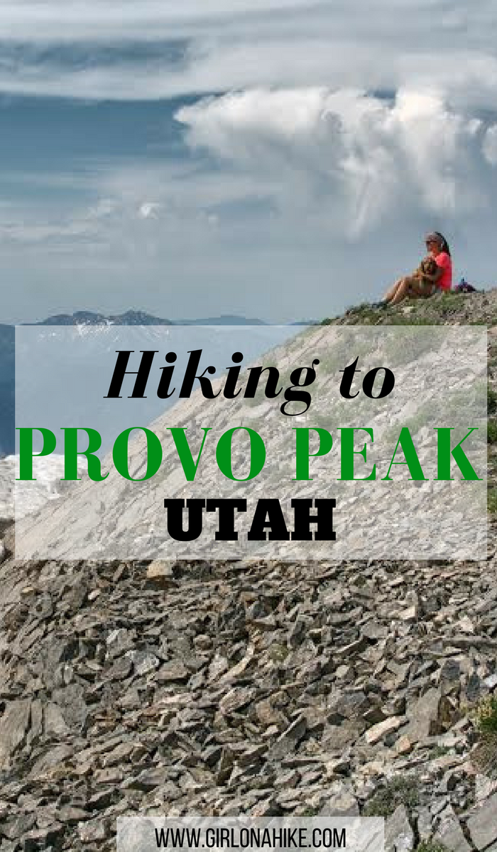
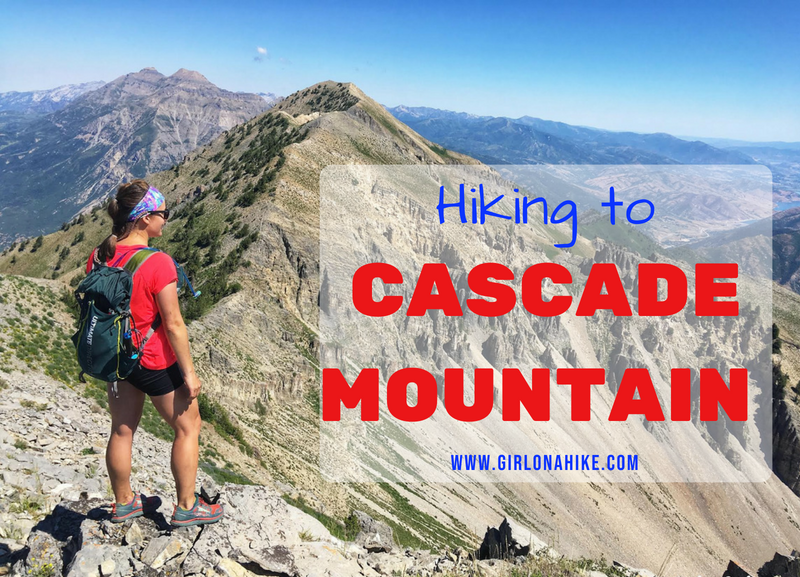
Provo Peak (11,068 ft) is one of the higher peaks in the Wasatch and also one of the shortest but steepest in the area. The trail to the summit is only 1.5 miles but gains 2,700 ft! The views from the summit are amazing, as you get 360 degree views of Utah County, and on a clear day into SLC County and major peaks north.
About
Provo Peak is one of the “Wasatch Seven” peaks many peak baggers like to summit, as its one of the more prominent looking peaks. It’s rare that such a massive peak gets less attention that its popular neighbor hikes like Squaw Peak and The Y Trail, but it’s the case here. While there is a well defined trail to the summit, Provo Peak sees way less traffic compared to neighboring trails/summits.
Because this hike is so steep, it’s not a great hike for beginners. You’ll want to have a few summits under your belt, and be comfortable with loose scree. Keep in mind that there is very little shade and no water on this trail so be prepared. Hiking poles are also very helpful. Dogs can easily do this trail, as long as they too, have experience with steep and loose trails. Faster hikers can summit in around 1 hour, and slower hikers in around 2-3 hours one way.
Directions
If driving from SLC, use this map.
You do need 4×4 or high clearance to reach this trailhead. Though its only about 13 miles from the turn off of HWY 189, it will take about an hour to drive there since the road is so rough and can be rutted out. The Squaw Peak Road is only open around June (or whenever the snow melts) to October 31st. Small cars can drive all the way to the turn off for Rock Creek Campground. Past that is where you need 4×4.
Trail Info
Distance: 3 miles RT
Elevation gain: 2,700 ft
Time: 2-4 hours
Dog friendly? Yes, off leash
Kid friendly? 12+ for teens who already have some peak bagging experience
Fees/Permits? None
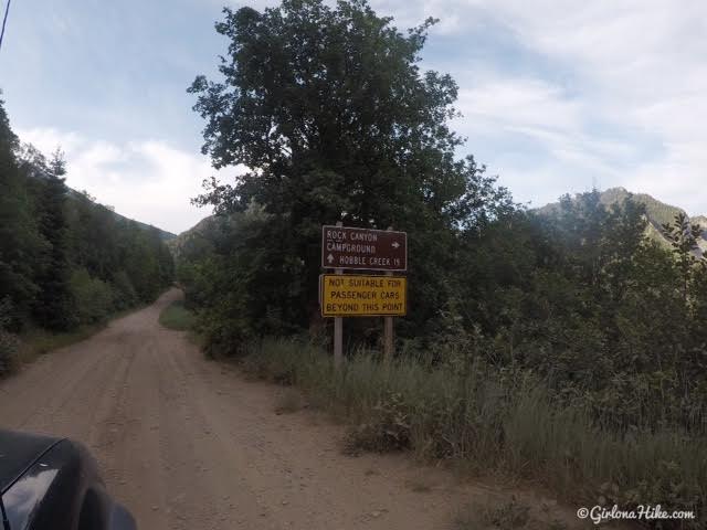
There is a big sign that says past this point the road is not suitable for passenger cars.
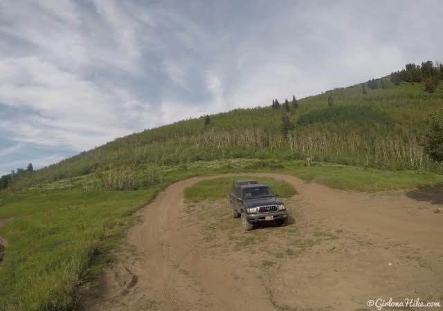
You’ll know you are at the trailhead when you reach the pass and see this loop in the road off to the right (West). Park here.
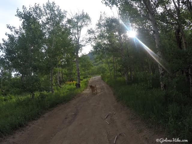
The trail to Provo Peak starts by walking up the dirt road heading East. Eventually this road will narrow, get rockier, and become covered by fallen trees.
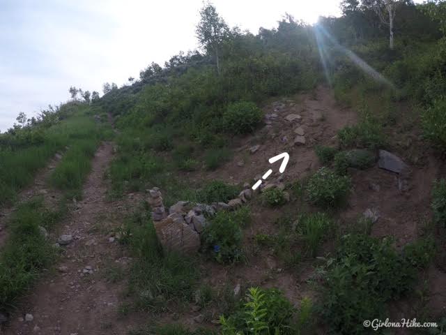
About 10 minutes up the road keep an eye out for the cairn. Turn right here, and start hiking up the small, single track trail.
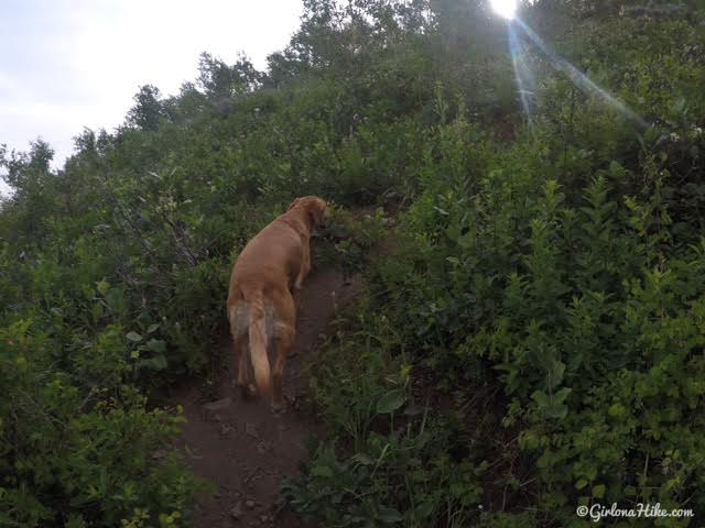
The first part has a lot of low shrub. The trail can get overgrown in parts, but it’s never hard to loose the trail.
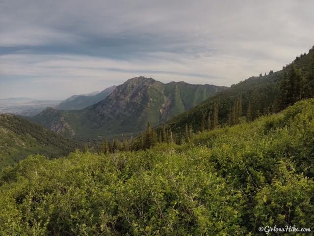
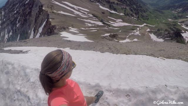
Working our way up. You should have amazing views of Cascade Mountain.
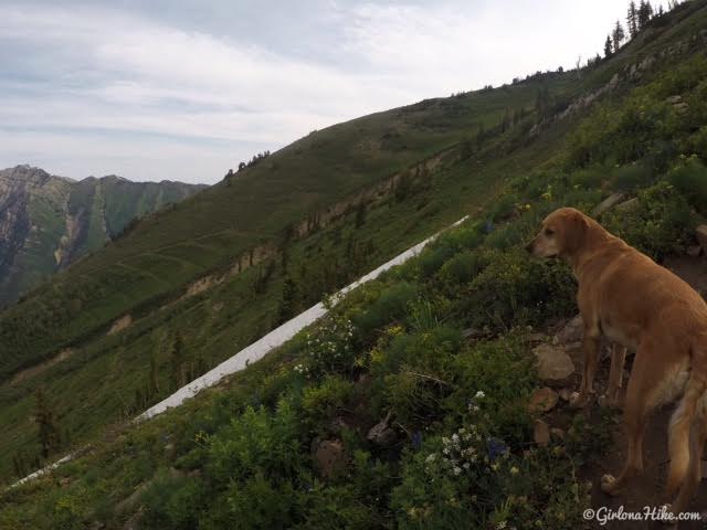
This shows how steep this trail is. Look at the angle of the terrain. A little bit of snow remains on July 1st.
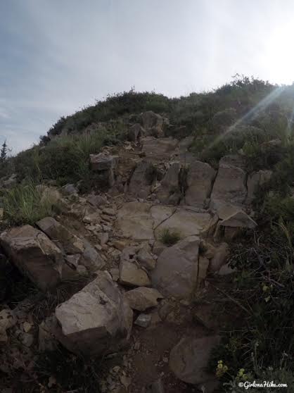
The trail turns from dirt into rock and scree. It feels like you are taking the staircase up, but for 1.5 miles instead of 1.5 floors!
Charlie leads the way. He wanted to get into that snow so bad! Eventually the trail got closer to the snow, and he was happy to do some sprints and 360 turns.
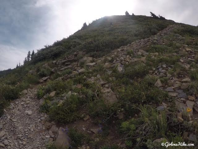
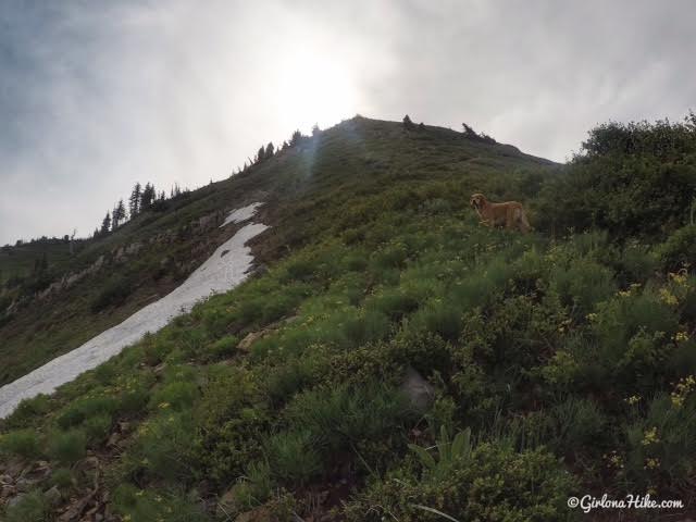
This trail is so steep – you think you are at the summit each time, but instead it’s only a false summit. You’ll reach three distinct false summits. Don’t get discouraged!
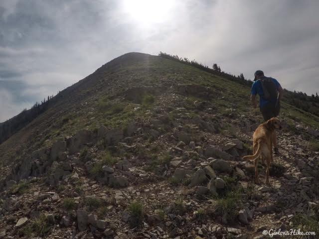
False summit #2. The trail is now more exposed – no shrub, trees, or shade. More wind now that you are on an exposed ridgeline too.
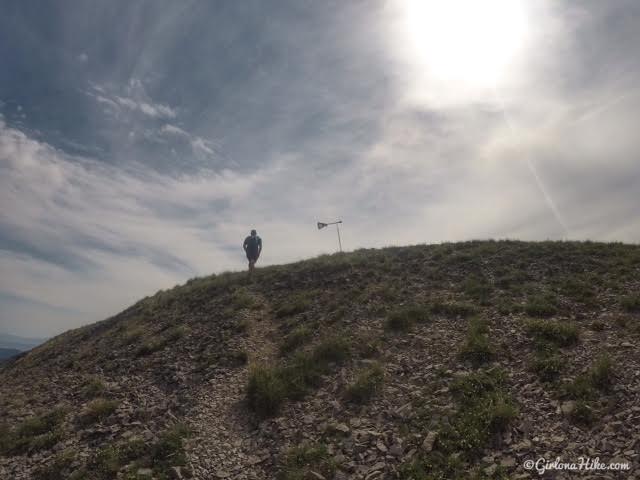
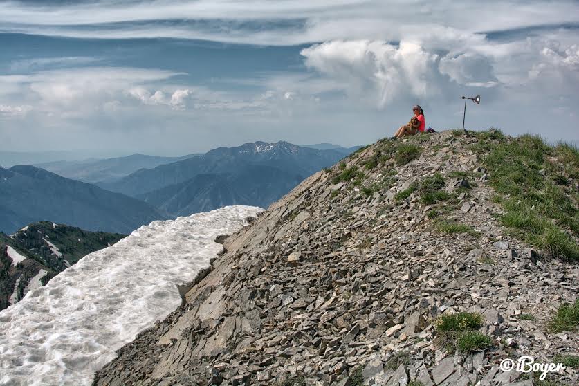
You’ll know you are at the summit when you see the metal wind vane.
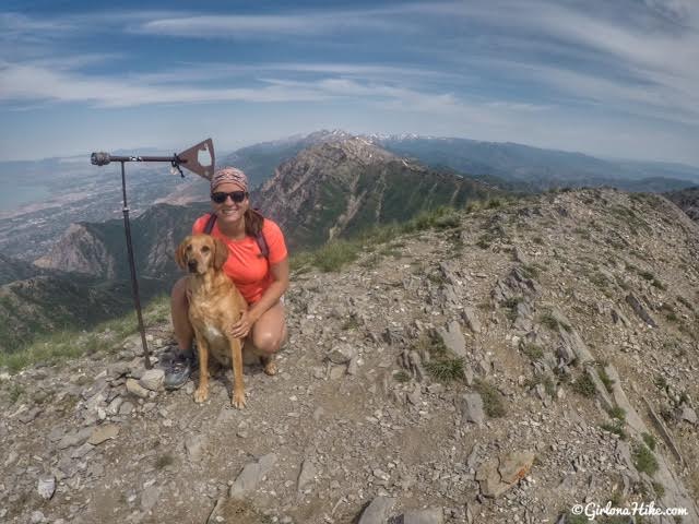
Summit selfie with Charlie!
We made it to the top in 1 hour 40 minutes. It sure felt longer though!
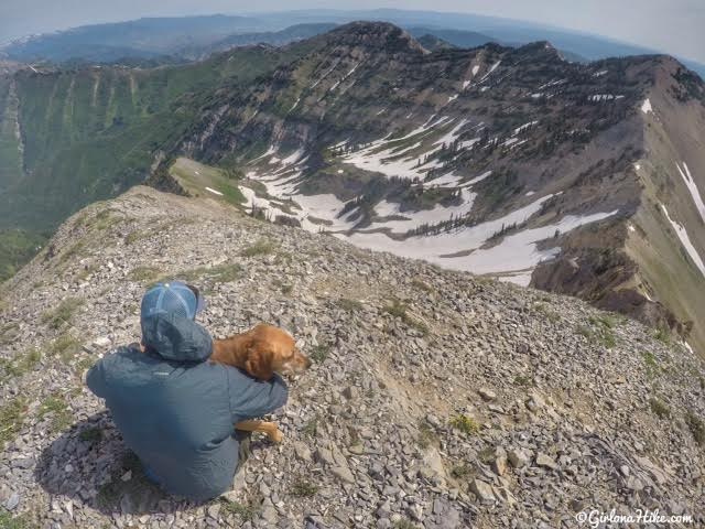
Views from the summit looking NE towards East Provo Peak (far right) and Freedom Peak (straight ahead).
Long way down!
Taking in the views from the top. You can literally see all the major surrounding peaks from Provo Peak – Nebo, Santaquin, and Spanish Fork Peak to the south.
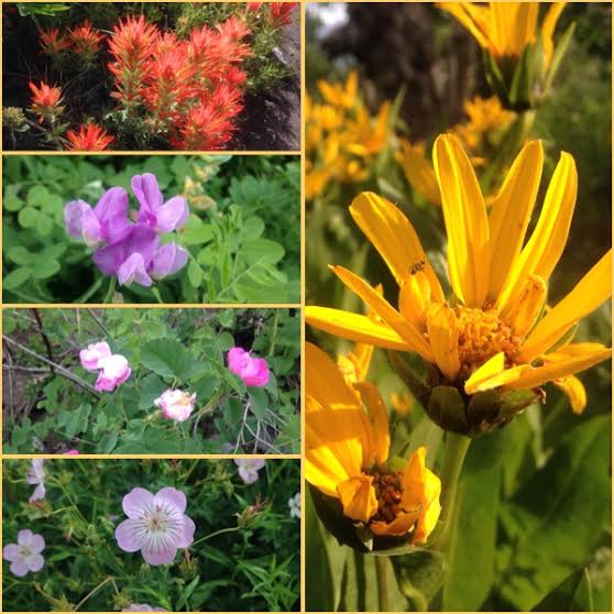
Several wildflowers on the trail.
Trail Map
My track via Gaia GPS – the best tracking app! Get your app here for a discount.
Nearby Hike

Save me on Pinterest!