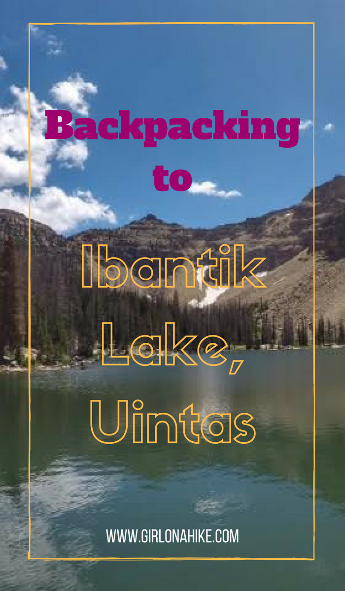
Ibantik Lake (“eye-ban-tick”) is located conveniently close to the Mirror Lake Highway in the High Uintas, and backpacking this route is perfect for beginner backpackers since it’s a fairly short yet rewarding trail. It is a very popular lake to camp at, and therefore you won’t have much solitude. The best things about this lake is how clear the water is, and you’ll see plenty of mountain goats as Notch Mountain looms above you. The trail is really easy to follow, and is best done as a point-to-point route.
Dogs are allowed to use this trail off leash, and there’s plenty of water fort them along the way, as you pass by several lakes and ponds. Older kids who have backpacking/hiking experience should do well on this hike as well. Backcountry camping follows the standard Uinta rules – no camping with 200 ft of any trail or lake, and no fires with 1/4 mile of any lake. Leave no Trace rules apply!
Directions
Use this map if you are driving from SLC to reach the Bald Mountain TH. Just remember to drop one car at the Crystal Lake TH first! There are portapotty’s at each TH.
Trail Info
Distance:
6 miles to Ibantik Lake from Bald Mountain TH
5 miles from Ibantik Lake to Crystal Lake TH
11 miles total point to point
Elevation gain: 1,000 ft total, but the trail also descends 1,800 ft
Time: You could hike this in a full day, but if you backpack only 1 night minimum is needed
Dog friendly? Yes, off leash
Kid friendly? Yes, for older kids who have backpacking/hiking experience
Fees/Permits? There is no permit, but there is a $6 fee (good for 3 days) for accessing the Mirror Lake Highway and trails. You can purchase the pass at the ranger station in Kamas, UT, or any of the self-serve stations along the highway. If you have an annual National Park Pass or annual American Fork Canyon Pass you can use either to park free.
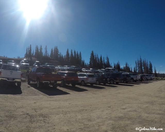
The Bald Mountain TH parking lot. This is the same parking lot for hiking to the actual Bald Mountain summit.
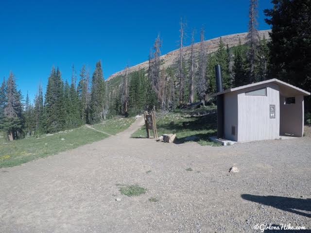
The trail starts West of the portapotty.
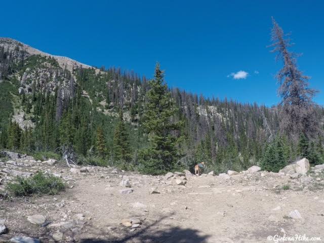
About 100 ft down the trail, you’ll see a trail split. You’ll see the sign for Bald Mountain to the right, but there’s no sign for left. Take the left split, and you should be hiking around Bald Mountain to the South.
Passing by Clegg Lake on the right. Reids Peak in the distance.
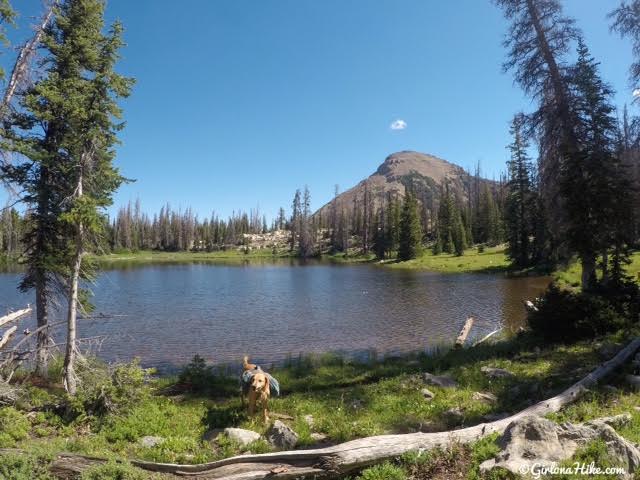
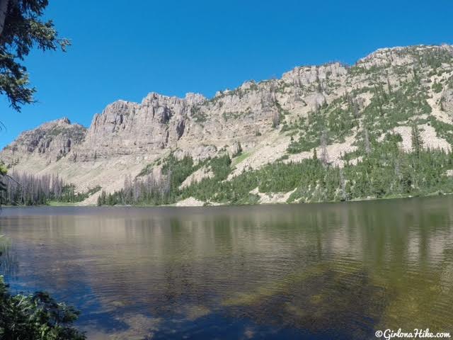
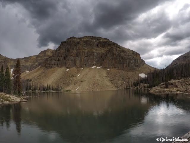
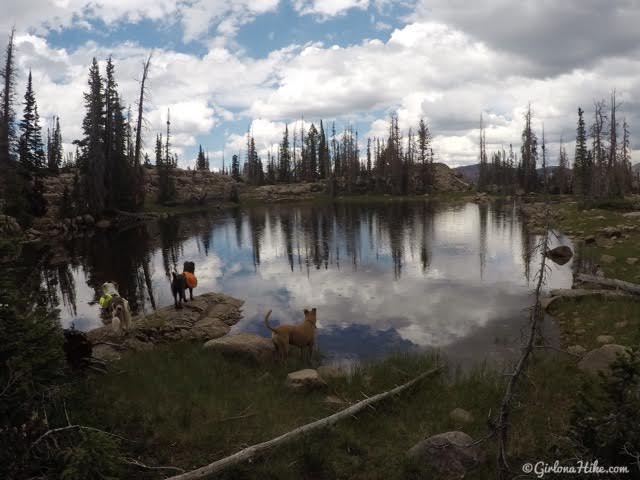
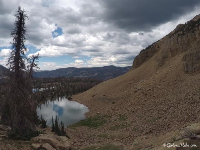
Notch Lake, with Notch Mountain ahead. Ibantik Lake is right on the other side of that ridge.
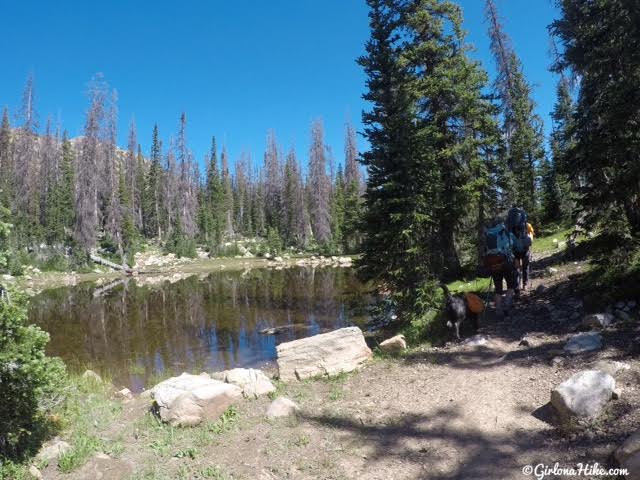
Continue following the trail as you pass by several small ponds.
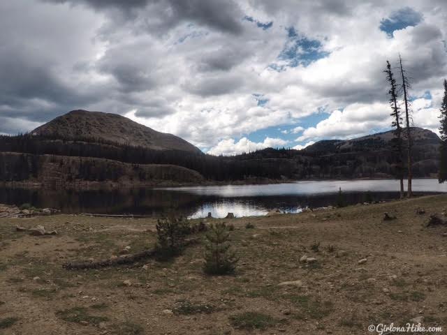
Bench Lake.
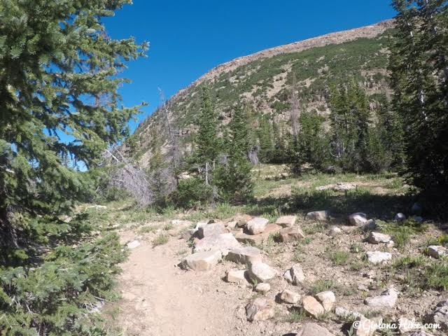
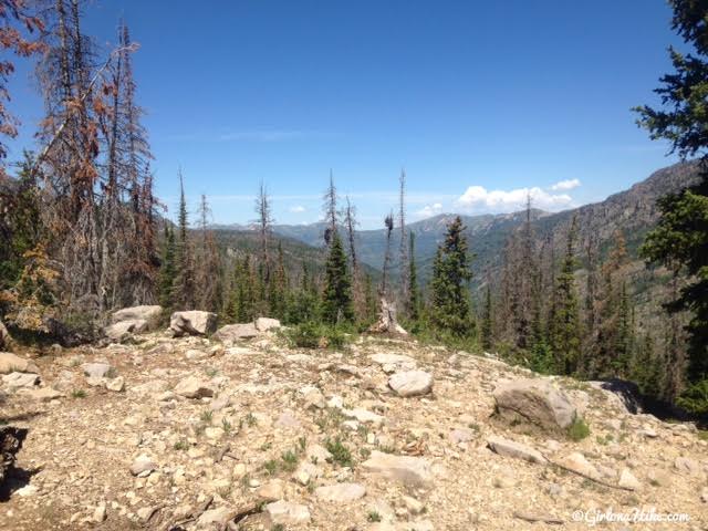
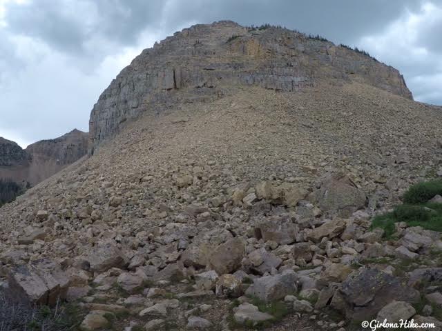
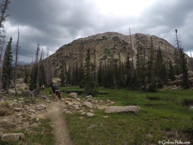
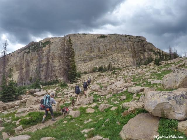
Past Bench Lake is where you’ll finally gain some elevation, and eventually reach an open high point area. Though it looks like there’s plenty of trees for shade, there isn’t actually very much shade. This trail is only about 1/4 shaded.
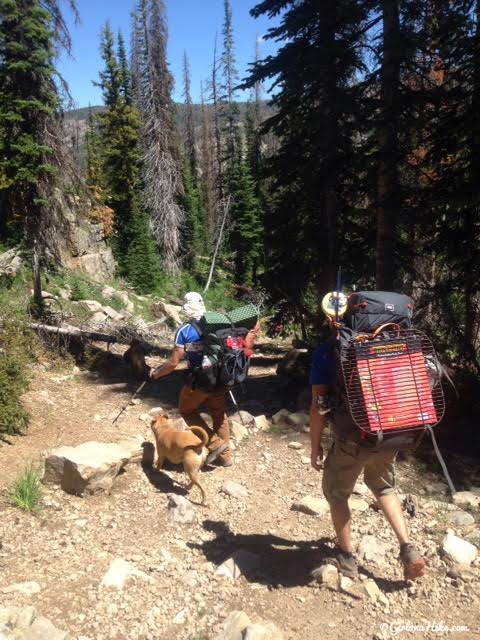
We began down a steep descent. And if you are wondering, yes, my friend carried in a grill to make us burgers! His pack had to be around 60 lbs – for ONE night!
The trail will begin to turn south again, after you reach this second open area. You will see two trail splits after this. The first trail split will take you down to the river, and the second trail split takes you to Meadow Lake. Both trail splits turn right, but you’ll want to stay left/straight for Ibantik Lake.
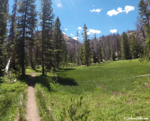
Really pretty meadows.
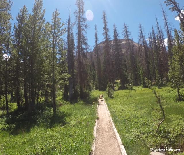
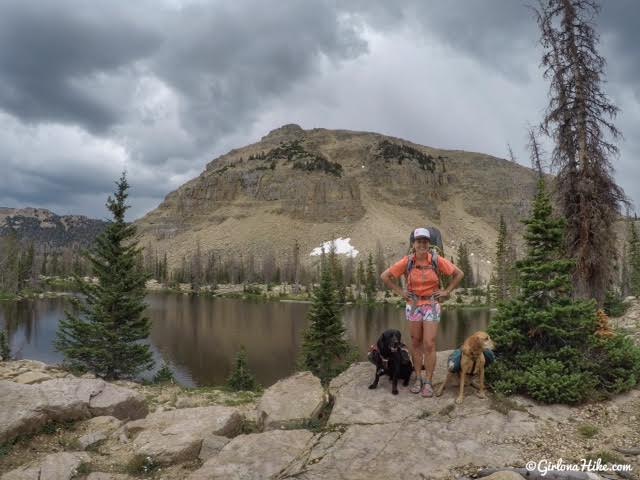
You know you are getting close when you see the East summit of Notch Mountain ahead.
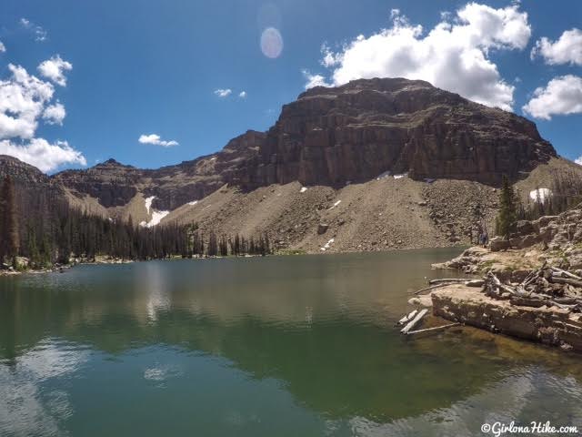
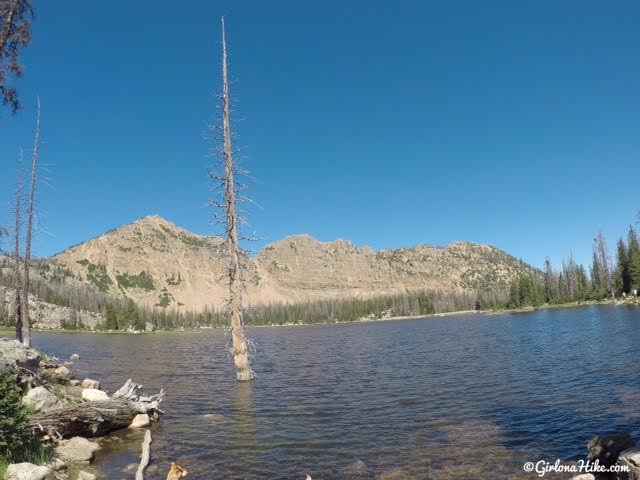
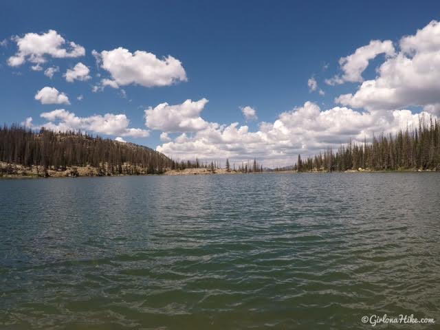
Yay, finally at Ibantik Lake (elevation is roughly 10,000ft)! There are several good camping spots on both sides of the lake.
Exploring around the lake.
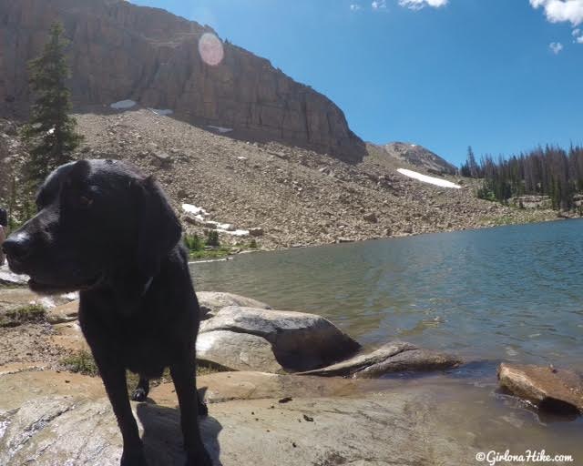
Bear’s last backpacking trip with me! Can’t believe his month with me had some to an end, but I’m pretty sure he’s happy to be back with his dad and not camping/hiking anymore since he’s a city pup!
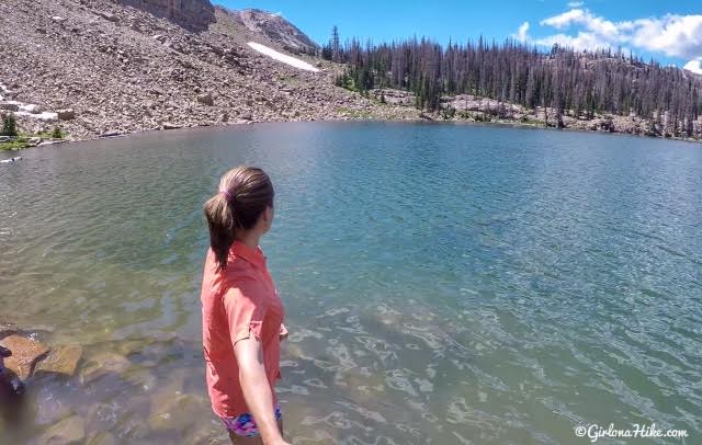
This water is so pretty!
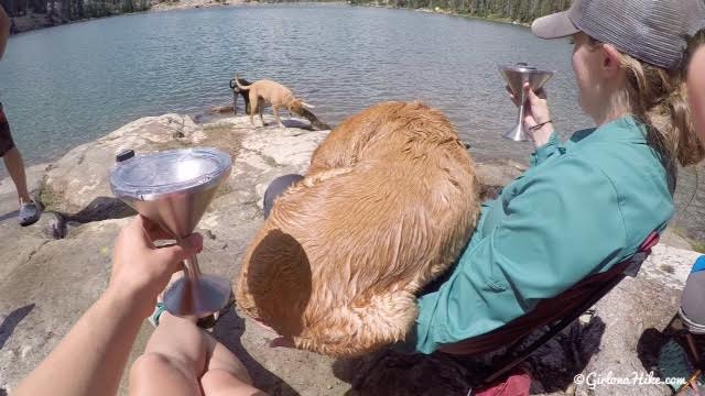
What could be better than a wet lap dog and wine in the ORCA Chasterini’s?!
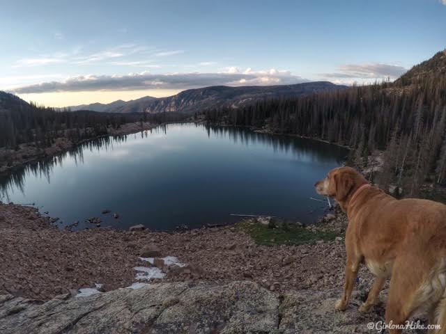
We hiked up high in the boulder field to get a great view of Ibantik Lake during sunset.
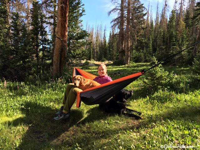
Lounging in the hammock – one lap dog and one that still prefers the ground.
On our way out thunderstorms threatened us all day, though we never got more than sprinkles.
The trail will take you below the East summit of Notch Mountain as you make your way to “The Notch”.
Hiking by several unnamed lakes.
You will have a great view of the West summit of Notch Mountain! Hard to believe I was up there only a month ago.
Lake Lovenia with the dogs in 2017
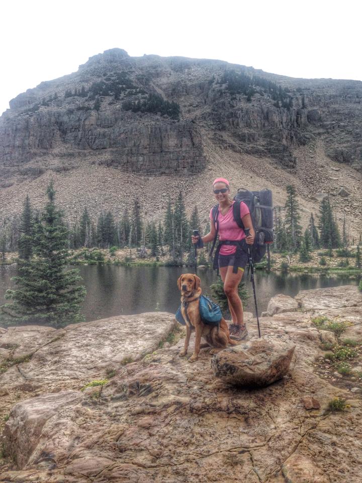
With Charlie back in 2014 the first time we backpacked this route!
Past Lake Lovenia is where you’ll gain your elevation for the day, as you hike up a few easy switchbacks.
Getting closer to “The Notch” – it’s called that because there is literally a very wide “notch” or pass in-between the East and West summits of Notch Mountain.
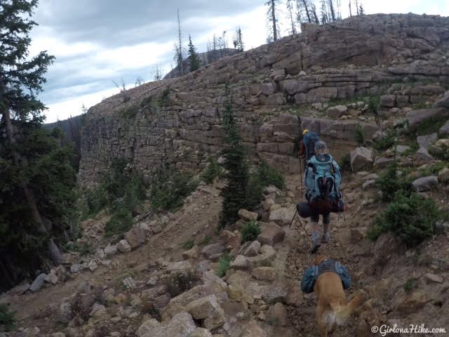
You’ll hike over The Notch and start heading back down in elevation again.
When you reach another trail split, stay left towards Wall Lake and the Crystal Lake TH.
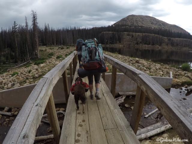
Cross the bridge, then turn left following the main trail back to the parking lot.
Check out my video from August 2021!
Trail Map
Ibantik Lake trail map. Green is for Day 1 and blue is Day 2.
Recommended Gear
Nearby Hike
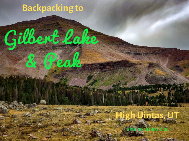
Backpacking to Gilbert Lake, Uintas

Save me on Pinterest!