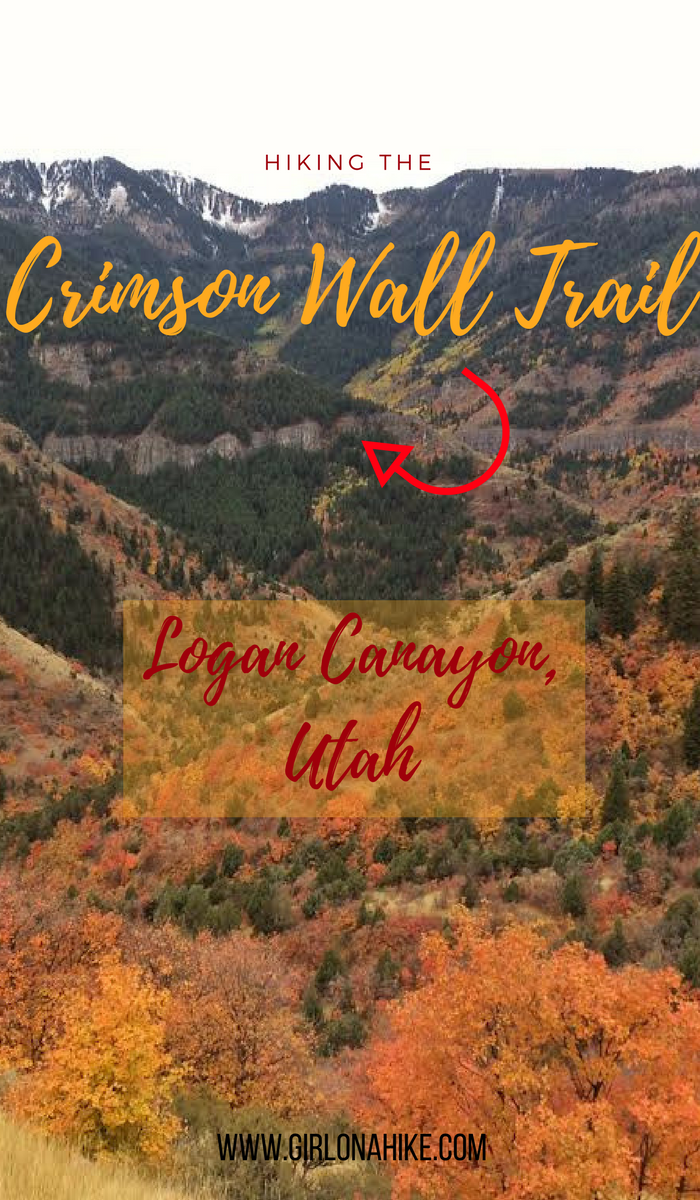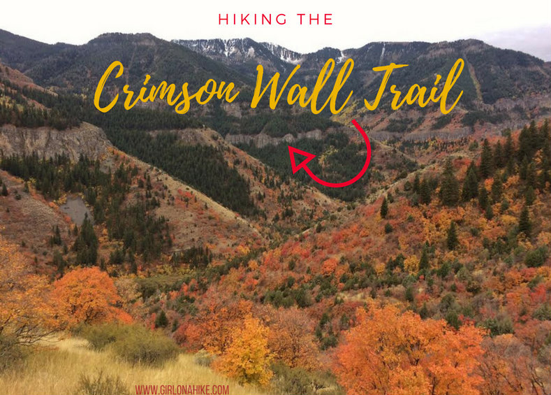
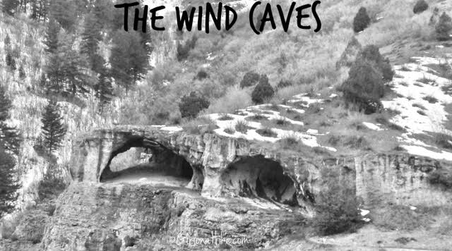
The Crimson Wall Trail (originally called the China Wall Trail) is located in Logan Canyon, and was referred to as such because of the long wall-like formation that lines both sides of Logan Canyon. The wall itself is mainly composed of limestone and quartzite, and offers a few challenging climbs for rock climbers. What attracts hikers to the Crimson Wall is its gorgeous views of Logan Canyon. The best time to hike this trail is in Summer or Fall when the snow is gone and the trail is dry. The trail is mainly north-facing, and therefore the snow and ice remains well into Spring.
Directions
Use this map, if driving from SLC.
In Logan, head East on 400 N for 6.5 miles. Park at the Spring Hollow Campground.
Trail Info
Distance: 4.1 miles (loop)
Elevation gain: 1,095 ft
Time: 2-3 hours
Dog friendly? Dogs must be leashed in the campground, but are allowed off leash once you reach the bridge.
Kid friendly? No
Fees/Permits? None
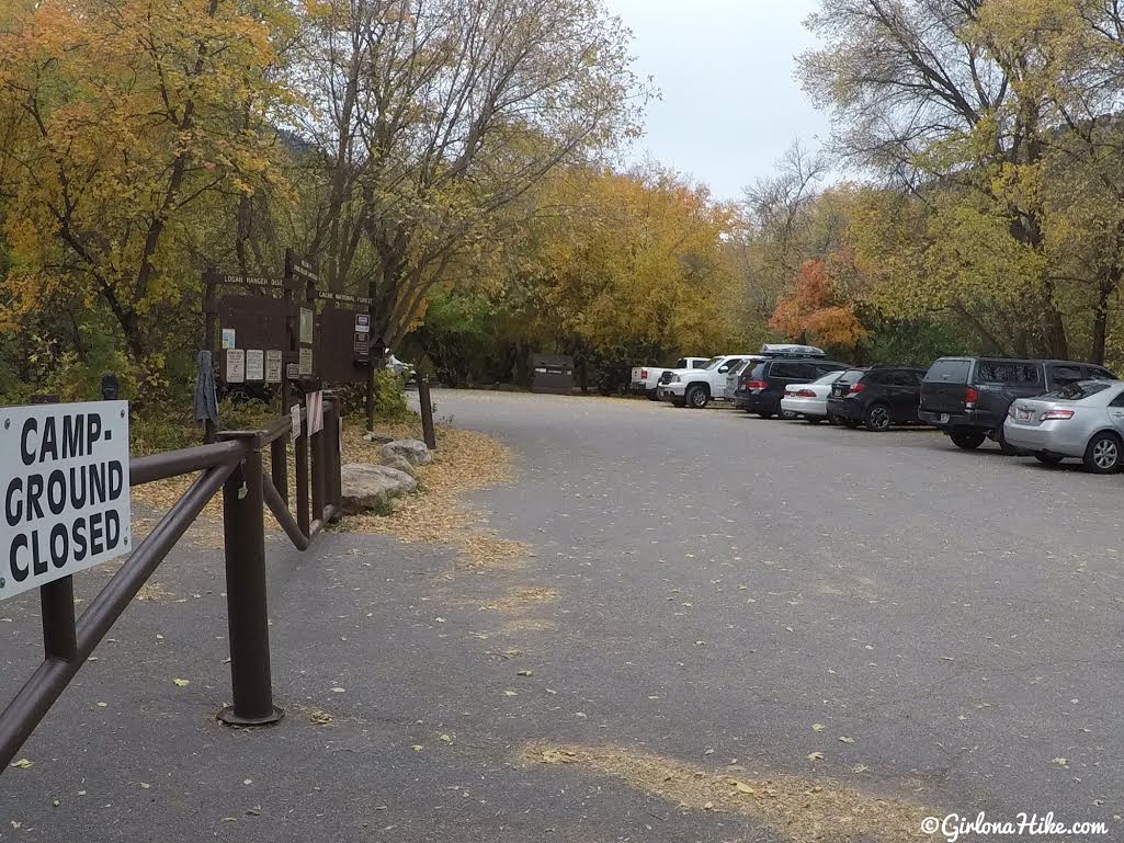
The parking lot gets full quickly, espeically on weekends. Make sure you arrive by 10am to grab a spot. Start by walking up the main campground road (behind the closed sign).
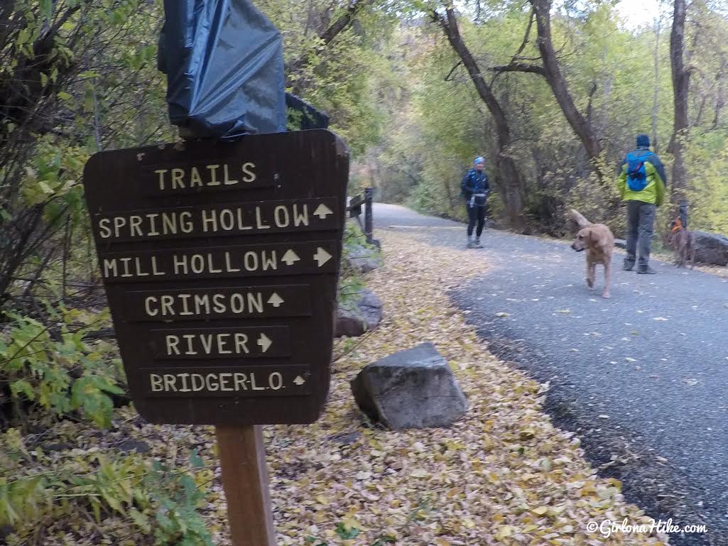
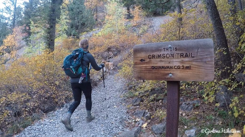
Stay straight for the Crimson Trail.
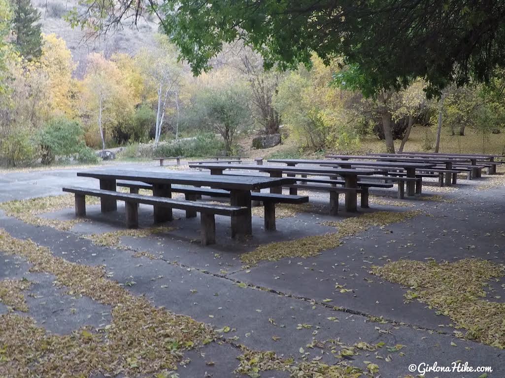
Oops, we followed the wrong road and had to cut through the large picnic area.
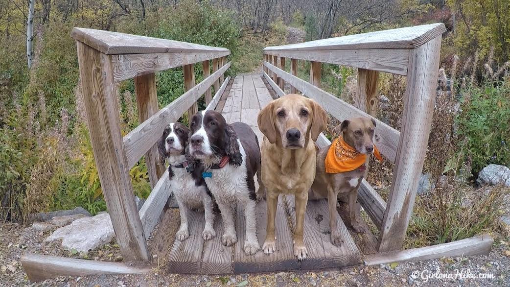
You’ll reach the bridge, and dogs can now technically be off leash.
Keep an eye out for the sign on the left (North) side of the trail. If you continue straight, you won’t be hiking on the right trail.
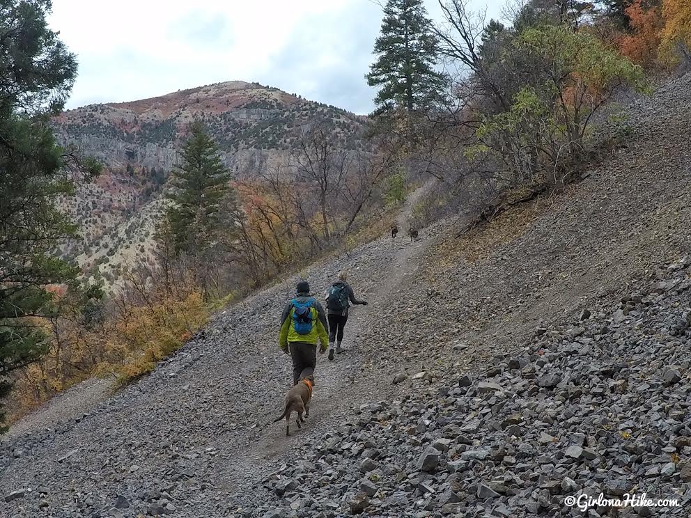
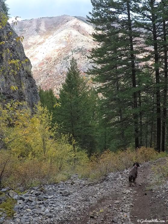
The trail gradually gains elevation through this rock slide.
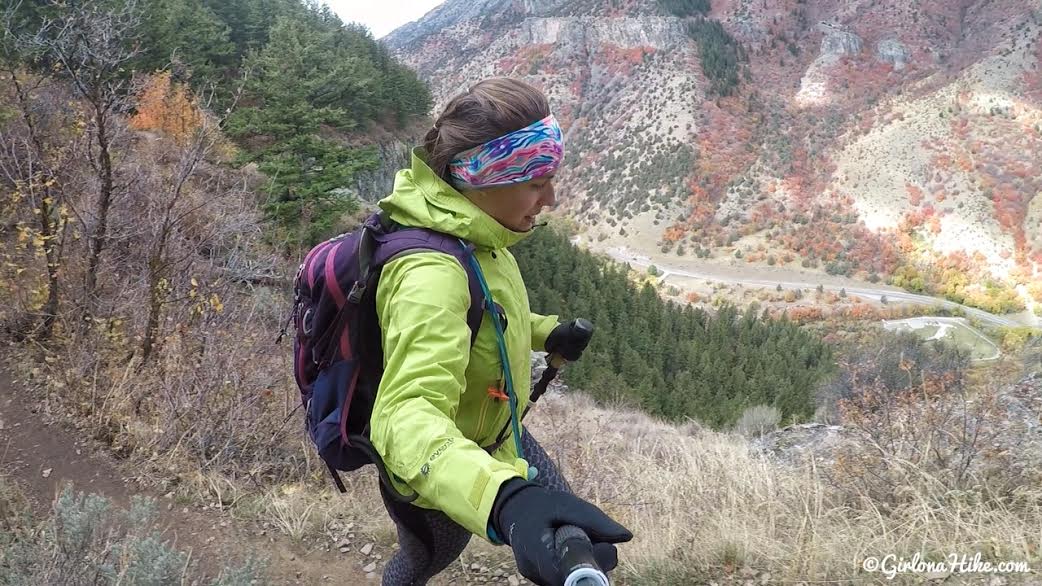
The wind was breezy on this day, so I had all my layers on.
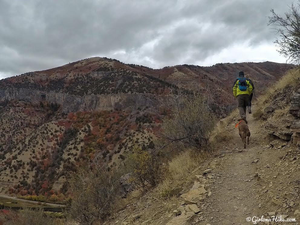
You’ll hike up a few steep switchbacks. This will be the hardest part of the hike.
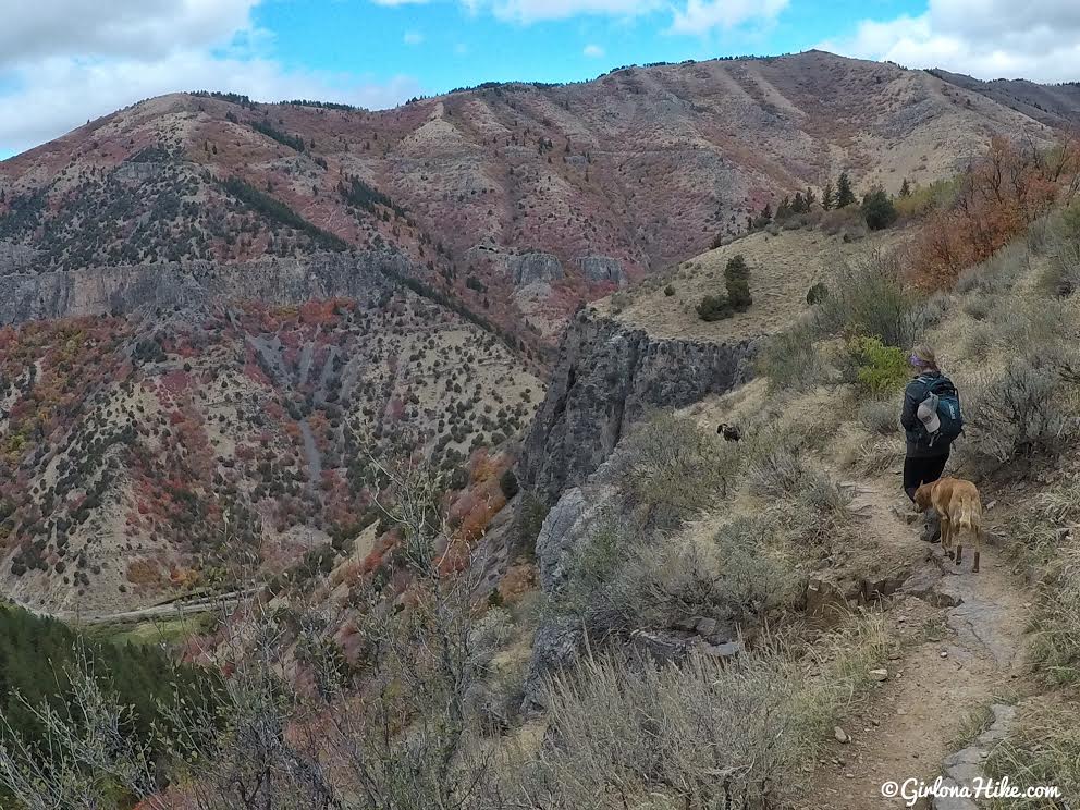
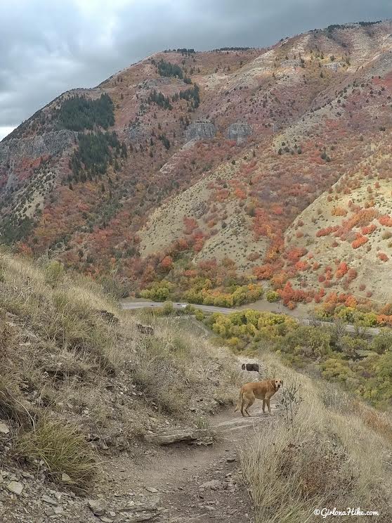
Eventually the trail flattens out and you can now enjoy the views!
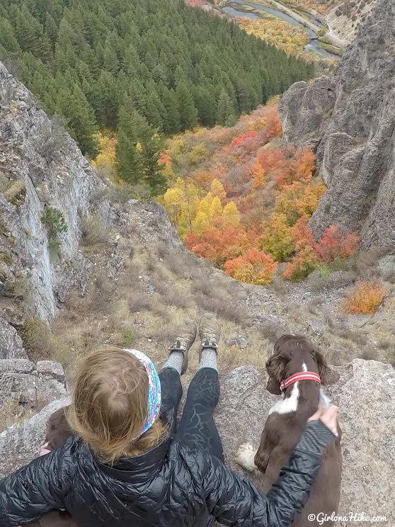
Beware of the cliffs – they are sheer drop offs. This is the main reason I wouldn’t recommend taking kids on this trail. They could easily slip and fall.
Charlie looks suspicious…
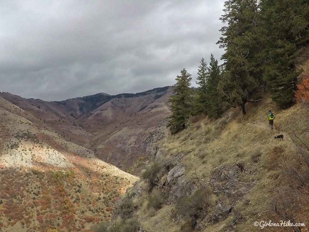
The clouds were getting darker as the day continued, so we tried to pick up the pace. It sure made for some nice photos, but it did flurry on and off all morning.
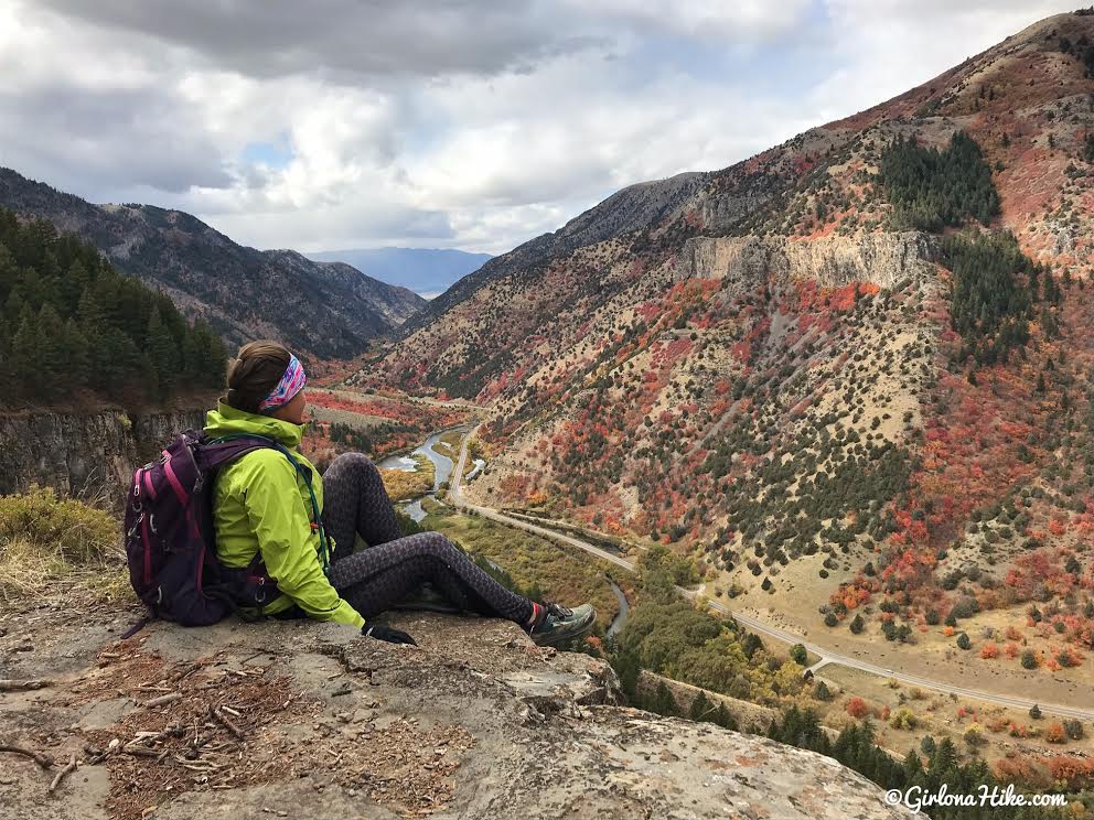
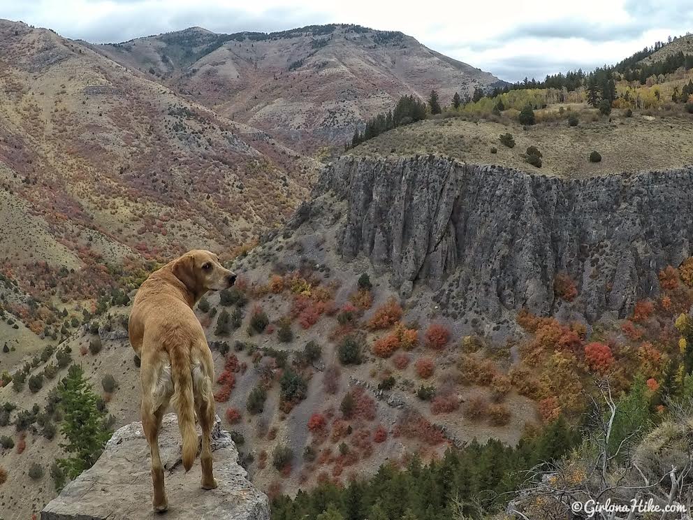
Along the trail there are several overlooks you can stop at and take in the view of Logan Canyon.
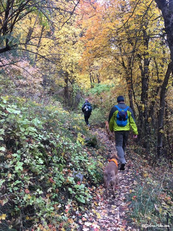
To get back down, the trail drops down a small canyon area and the trail is once again steep switchbacks. This time you’ll hike through a very nice forested area with plenty of shade. You’ll also hike along the base of the china/crimson wall.
The terrain opens up and you should have a nice view again. The switchbacks here seem even steeper. Trekking poles are really helpful for these sections.
The trail reaches the base of the canyon and you will hike along the Logan River back to your starting point at the parking lot.
You can hike the loop in either direction, but we chose counter-clockwise.
Trail Map
My track via Gaia GPS – the best tracking app! Get your app here for a discount.
Recommended Gear
Nearby Hike

Save me on Pinterest!