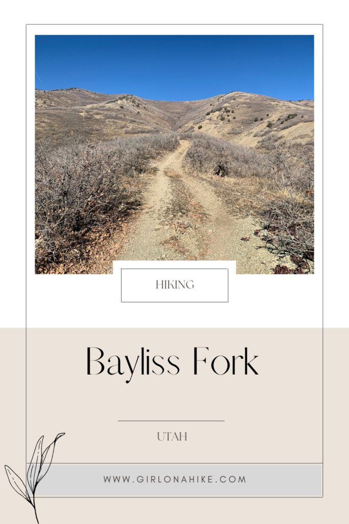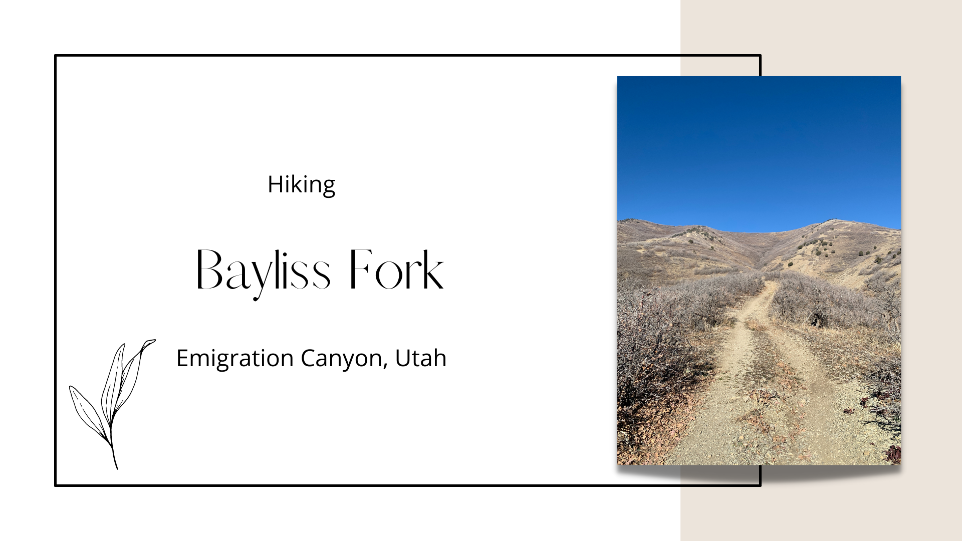

The Bayliss Fork Trail is located in Emigration Canyon, not quite a mile past Ruth’s Diner. The trail follows one of the many drainages from the ridge line that connects Mt. Wire over to Lookout Peak. Eventually the trail turns into an old jeep road, and follows the ridge to reach the top. Don’t forget to look back as you hike higher in elevation – the best views are when you turn around. On the main ridge/saddle, you can see down into Red Butte Canyon Research Natural Area, and several other local peaks such as Grandview Peak.
This trail can get really muddy in early Spring, so the best seasons are Summer/Fall. This trail is dog-friendly, however kids may struggle with the steepness towards the top. There’s very little shade and no water, so if the temperatures are going to be hot, be sure to start early or carry a lot of water for both you and your dogs. Afterwards stop at Ruth’s Diner for lunch!
Directions
From I-80 in SLC, head North on Foothill Drive. Turn left on E Sunnyside Ave (Emigration Canyon Rd). Reset your odometer as you turn. Drive 3.7 miles up the canyon, past the Hogle Zoo and Ruth’s Diner. You’ll see a pull out on the North (left) side of the road with two white signs: one says no motorized vehicles, and the other is a hunting sign. Park here. If you drive past the fire station you went too far.
Here is a driving map.
Trail Info
Distance: 3.6 miles RT
Elevation gain: 1,700 ft
Time: 2-4 hours
Dog friendly? Yes, off leash
Kid friendly? Yes, but only for the first mile or so (due to steepness)
Fees/Permits? None
March 2018
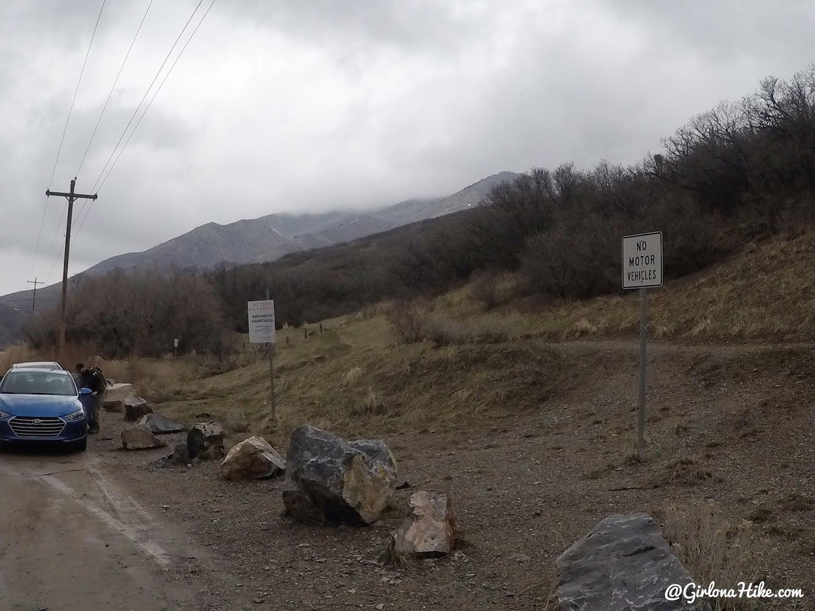
The trail starts on the north side of the road by these two sign signs, and boulder barricade. Back in the day people could drive ATV’s up here, but that is no longer allowed.
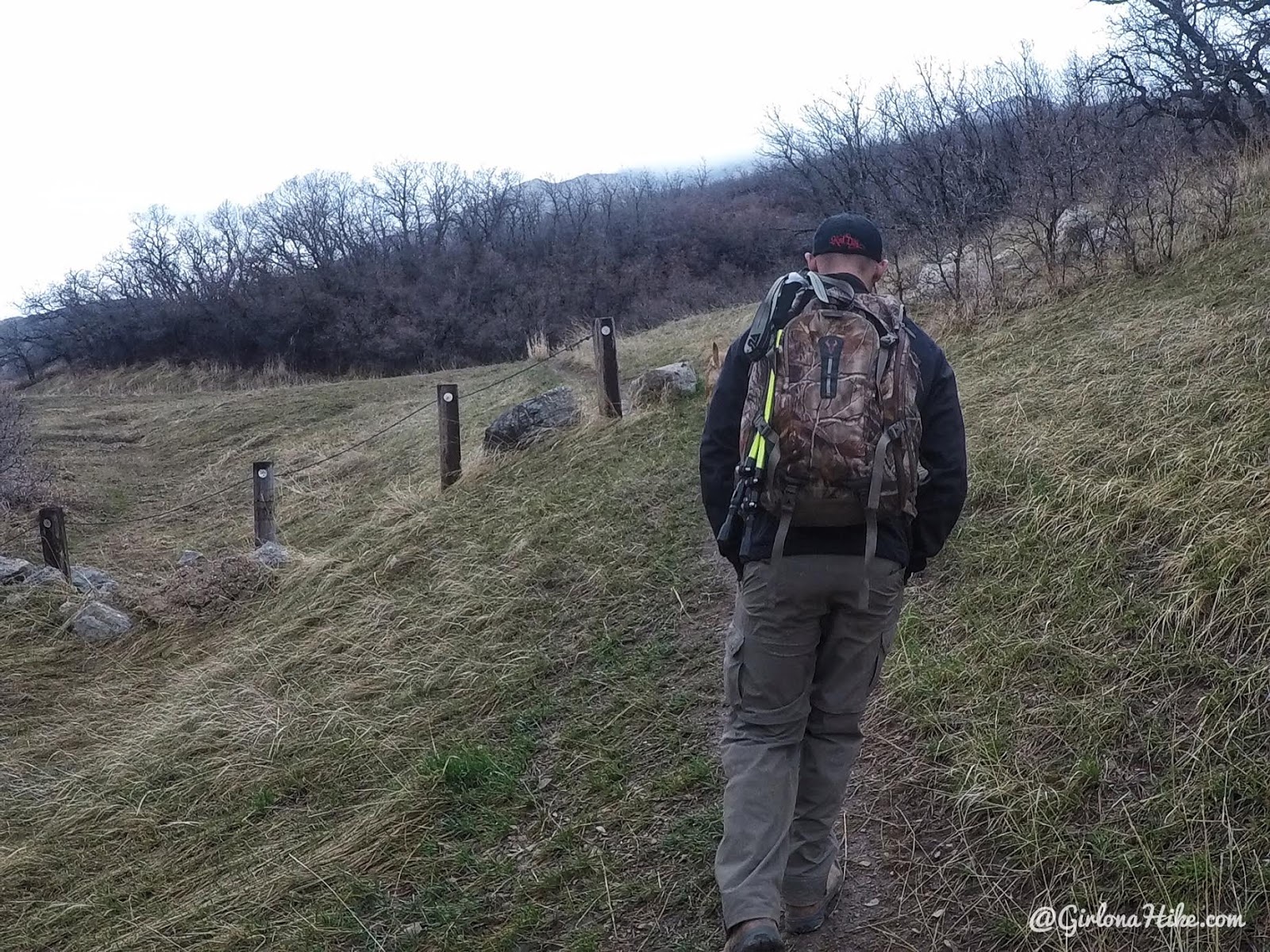
Pass the wire & post fence.
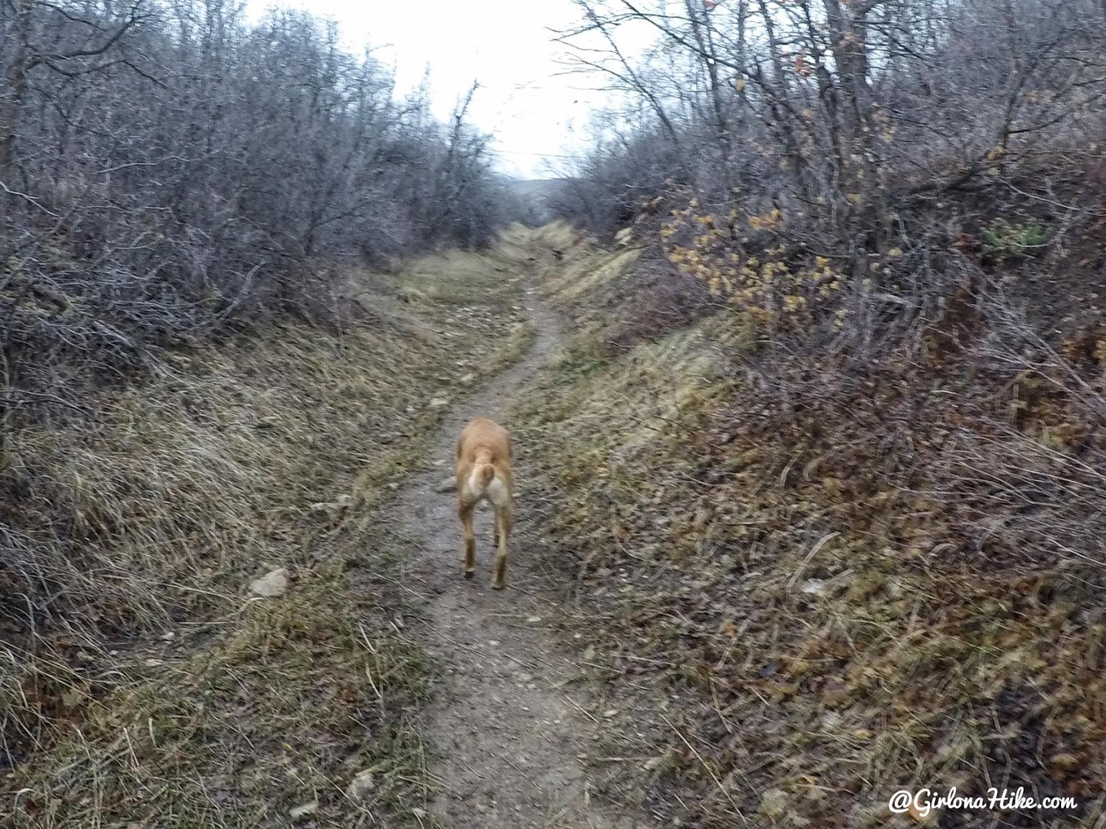
The trail then curves North.
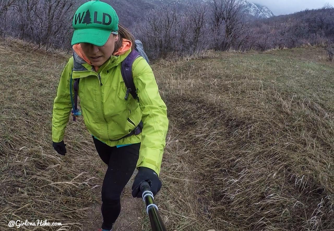
The first mile is pretty mellow.
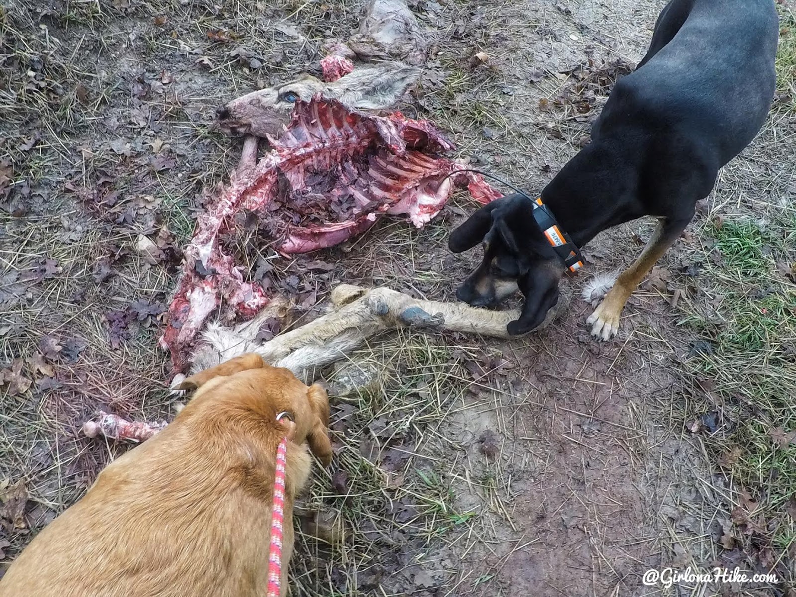
Within 10 minutes of hiking, the dogs found this elk carcass right on the trail. Byron is a hunter and said this one looked like it was killed by coyote, as a hunter wouldn’t leave it like this right on the trail, and there was a pile of guts nearby. I put Charlie on leash since he can’t help himself with dead animals (gross!). I can’t tell you the gross things I’ve seen him gulp down, including some guts on the way back down.
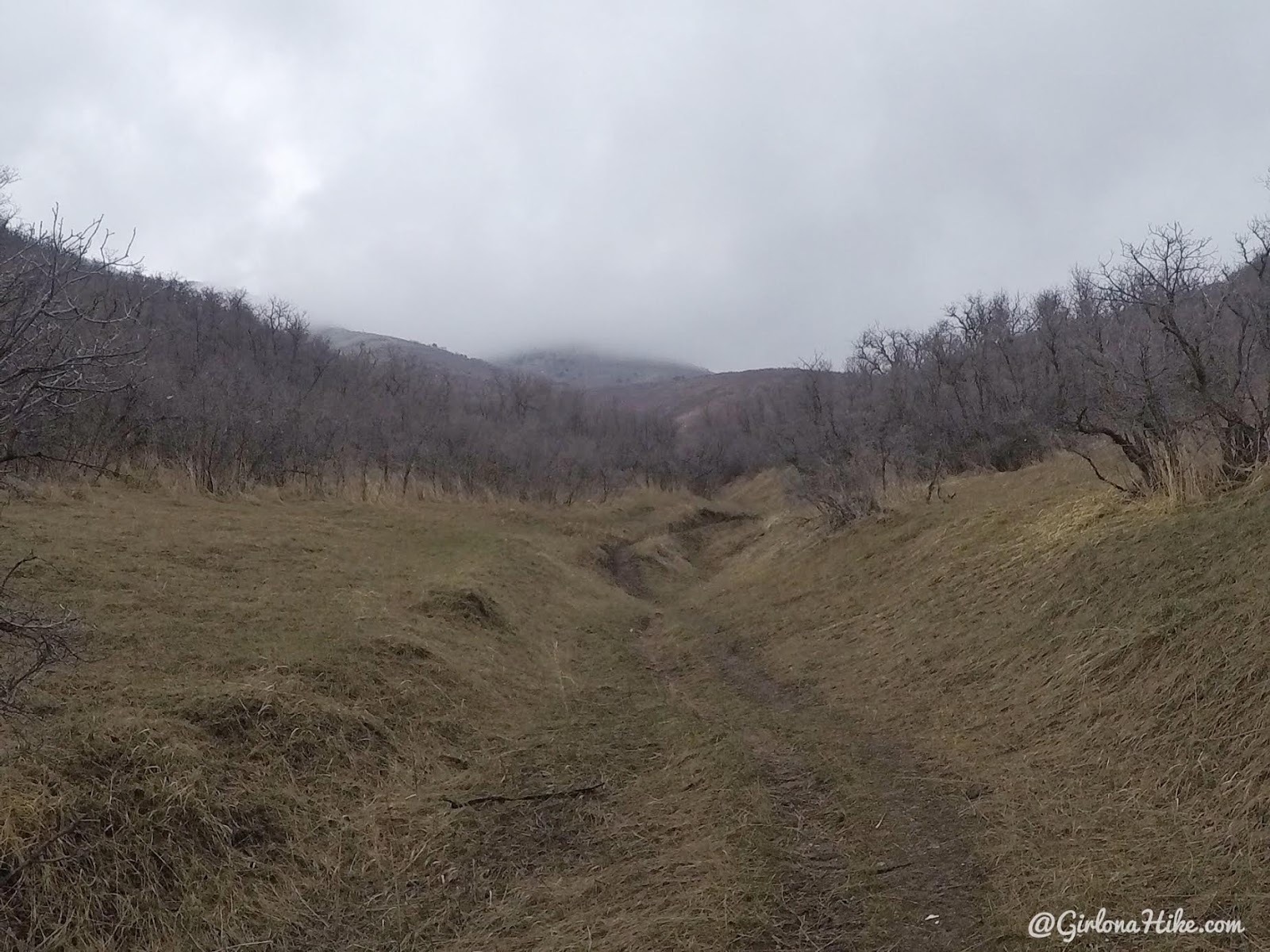
The view opens a little. The nice thing about this trail is you can always see your destination. It’s up there in the clouds!
Clouds threatened to rain/snow on us all morning.
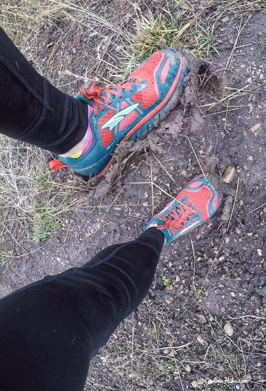
One of the reasons Spring is my least favorite season – mud. It was caking up so bad, it felt like 5 lb weights on my feet. I wouldn’t hike this trail after a big rainstorm again. You’ll come to a 4-way intersection (not pictured), turn left.
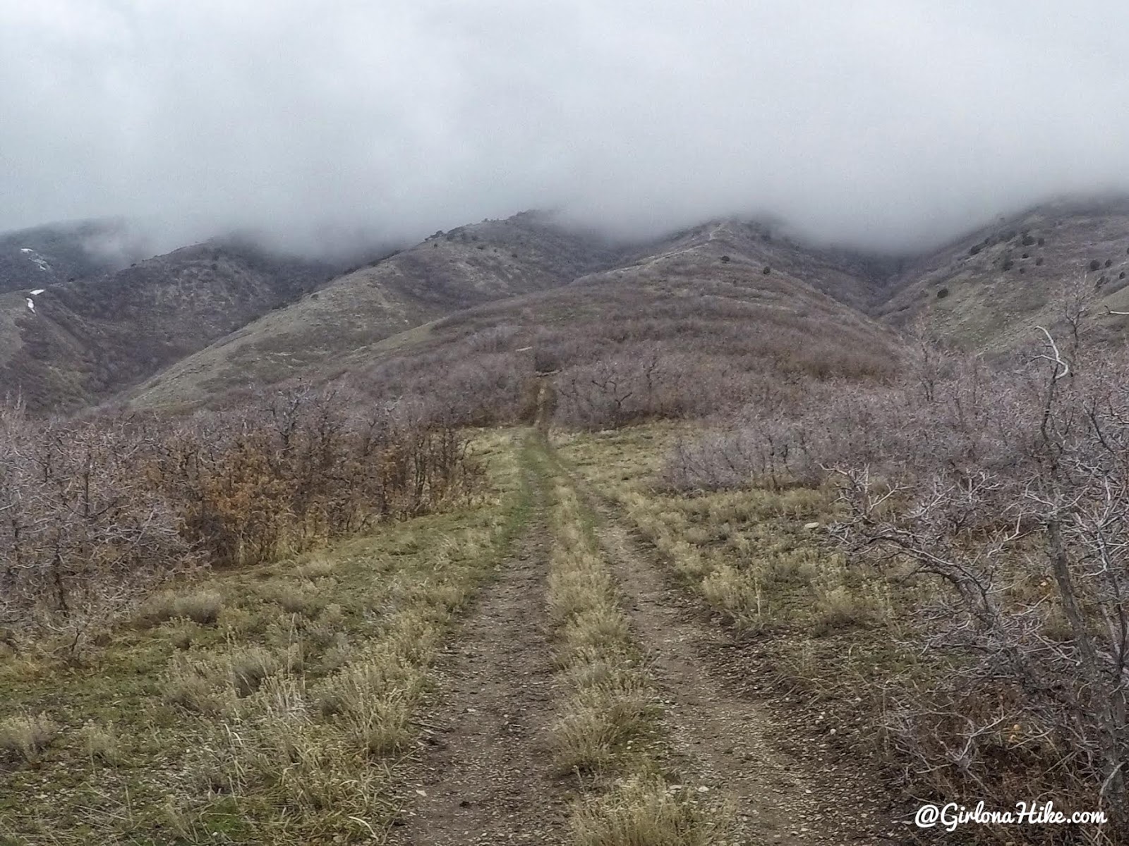
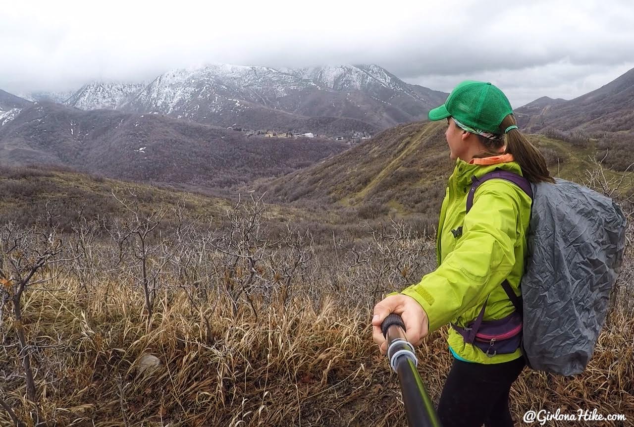
After you turn left the trail naturally curves North again. The trail is now an old jeep road. You can see how it leads up to the clouds/ridge.
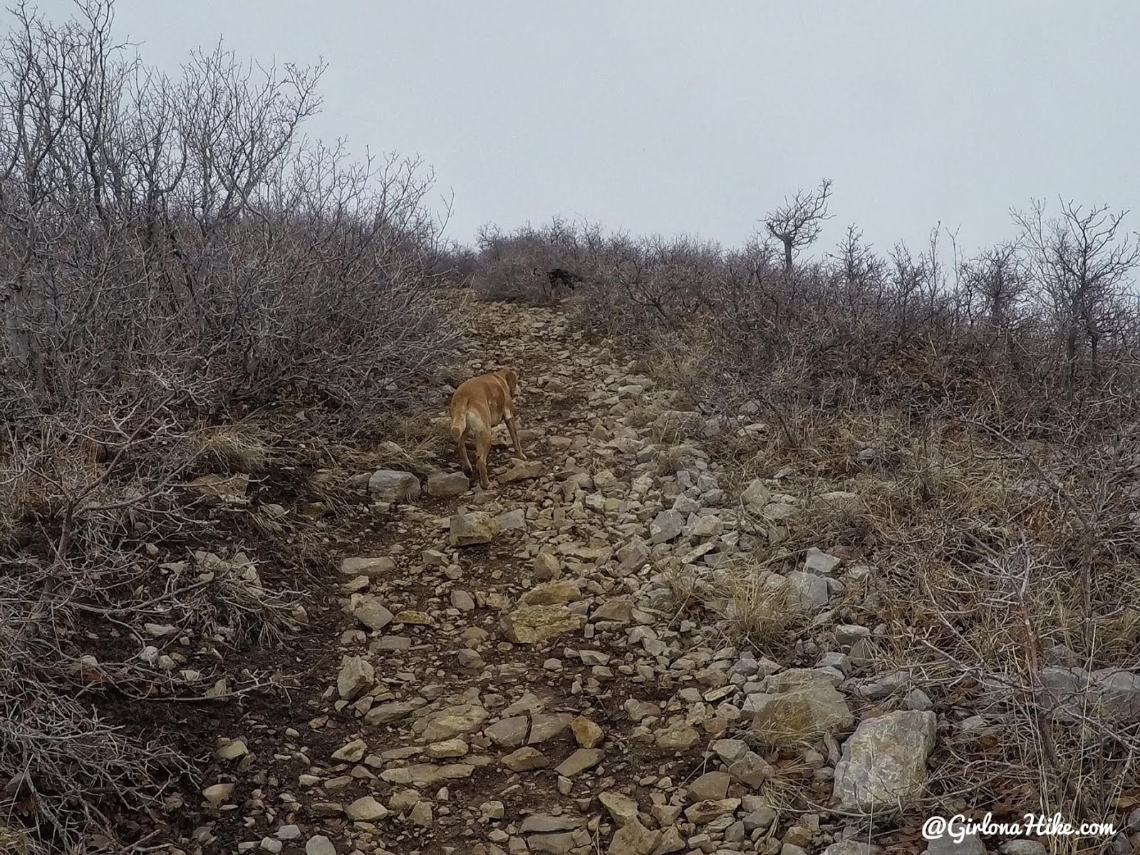
Now the fun begins, and the trail gets pretty steep.
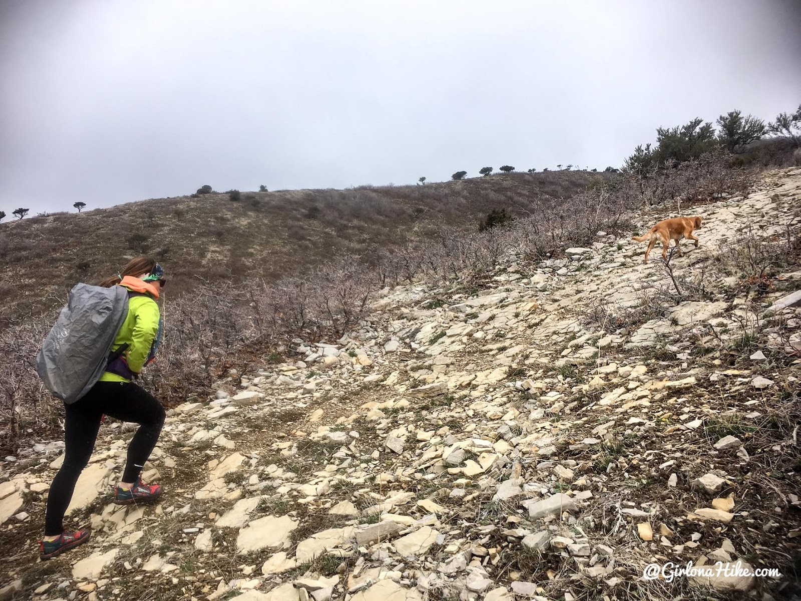
Instead of walking through dirt, the trail is now more rocky. It’s almost like steps, helping you up.
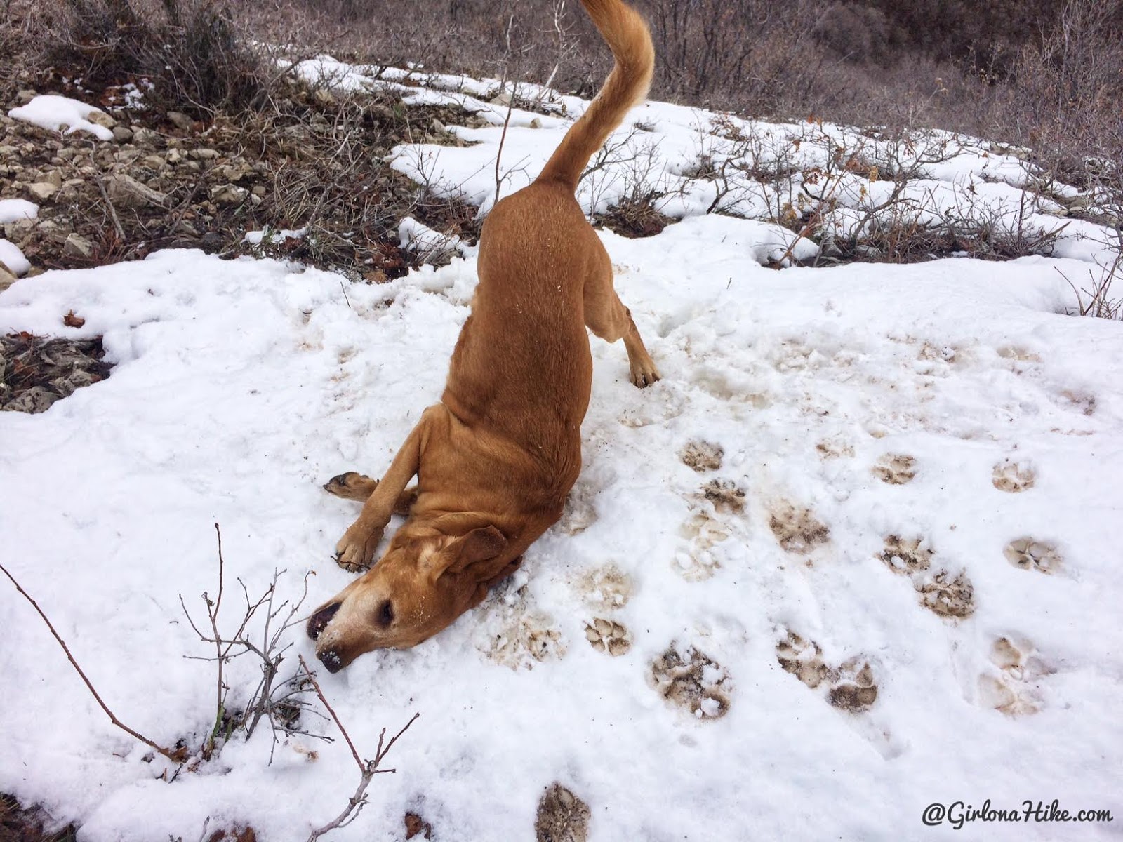
Charlie finds a patch of leftover snow, and does his usual face-plant into it.
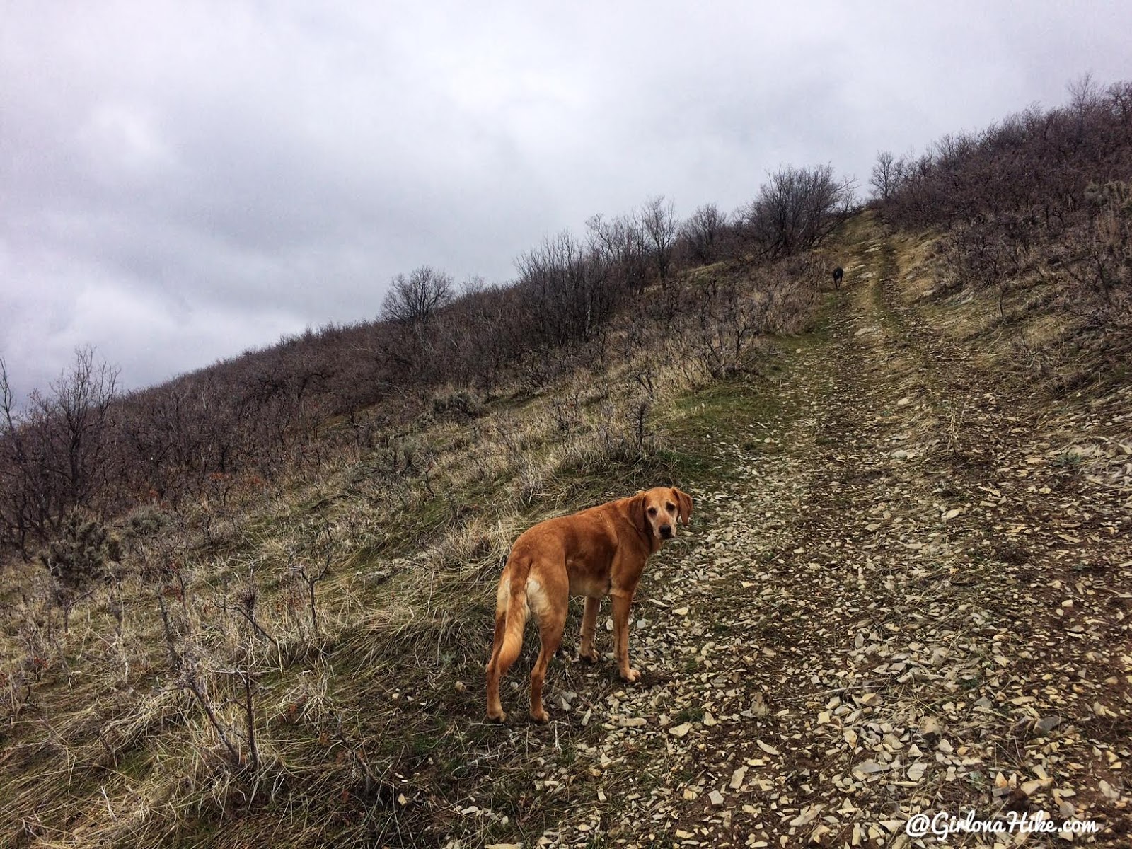
Keep following the ridge.
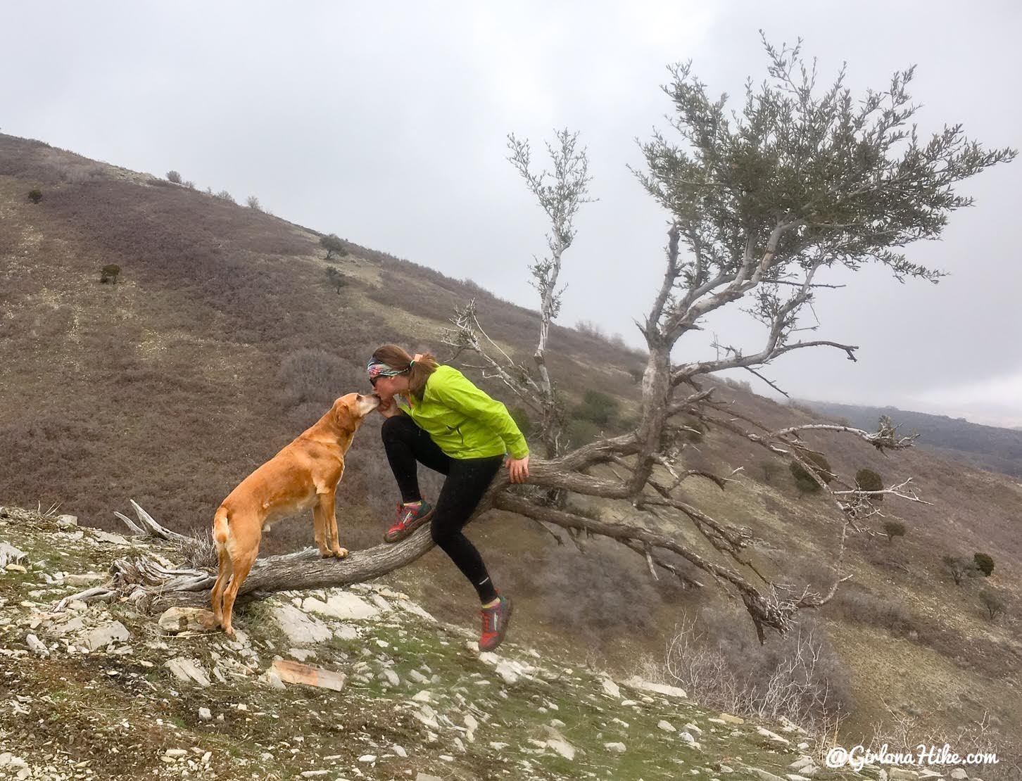
Trail kisses with my baby.
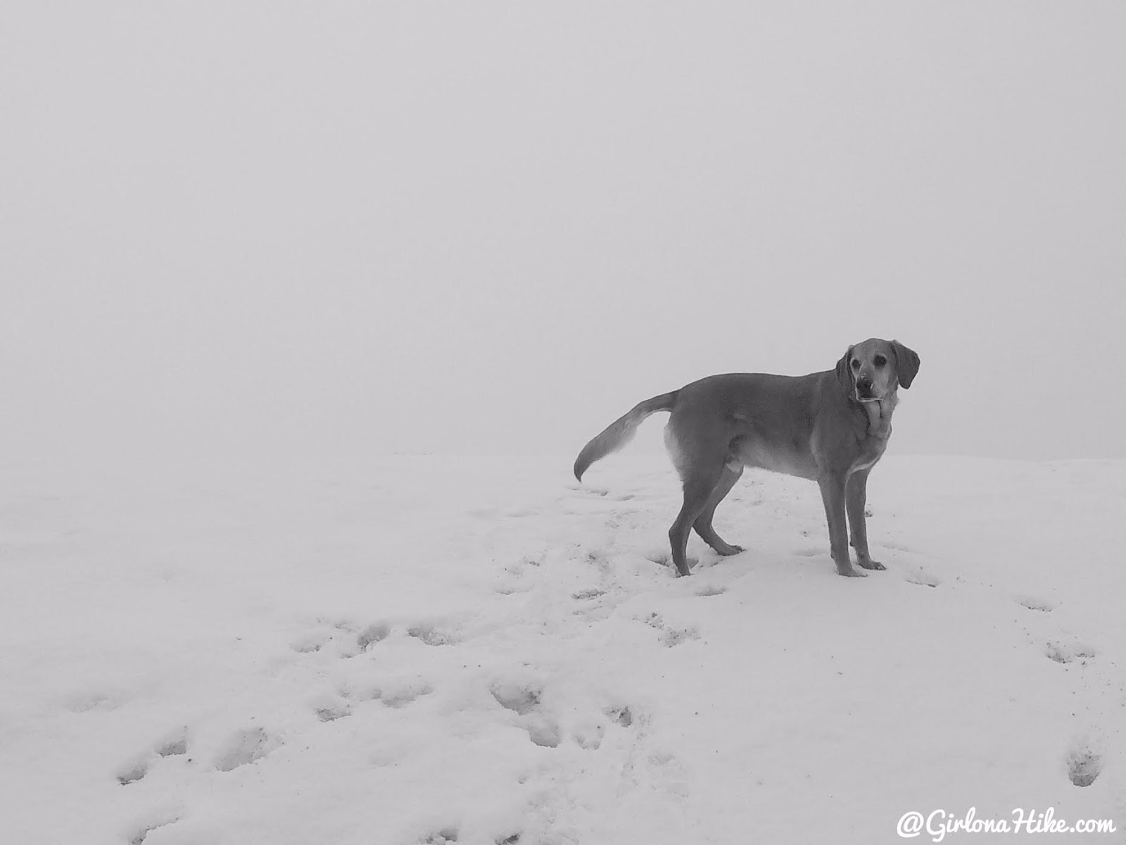
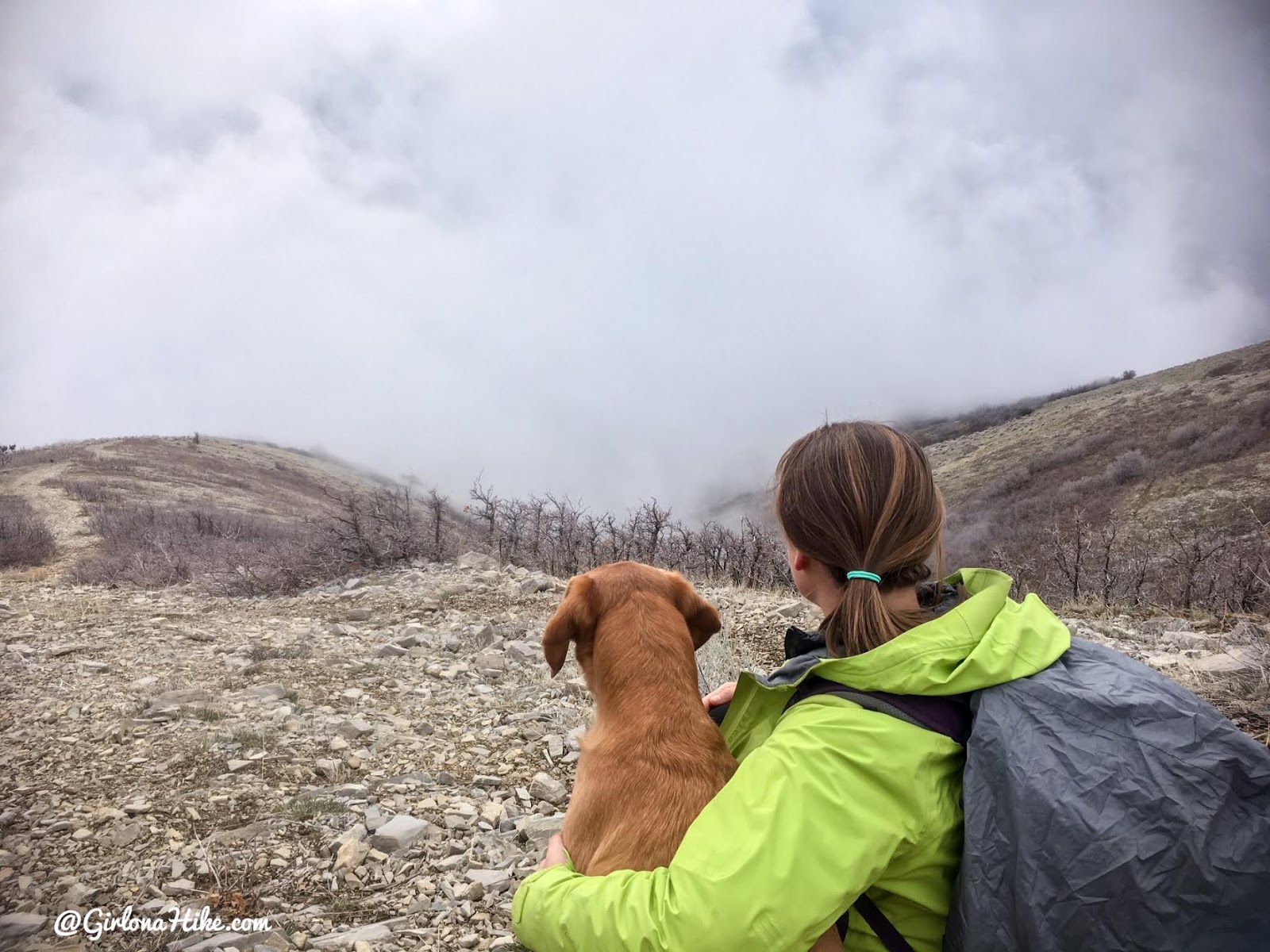
And once on the ridge, we couldn’t see a thing! We were socked in by all the clouds, and the temperature dropped about 15F degrees.
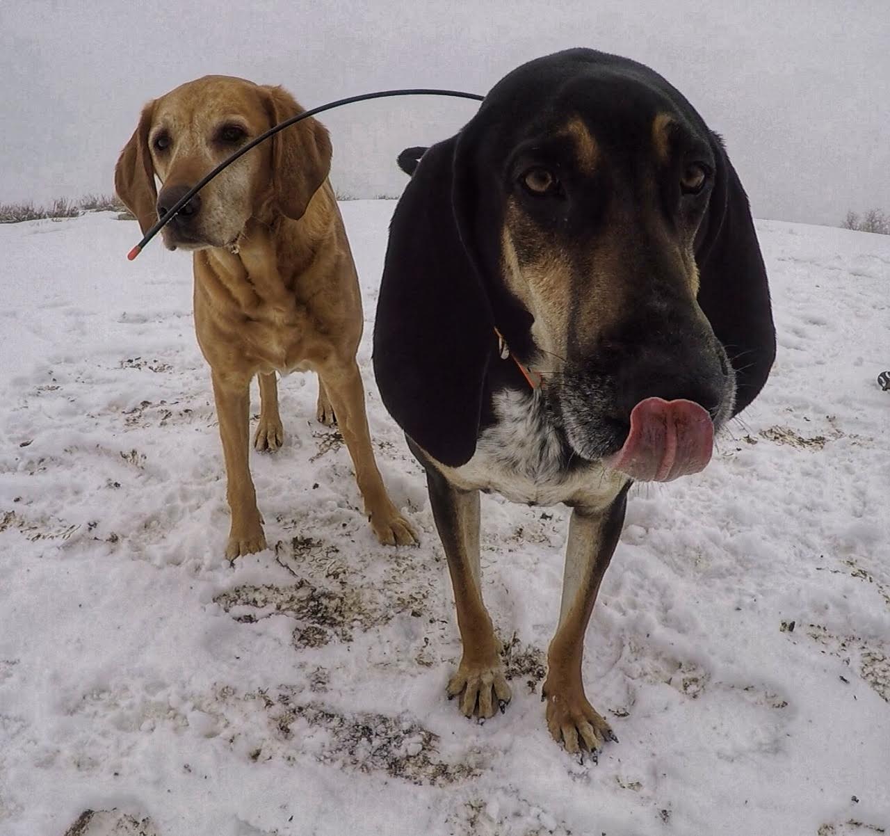
Hiking buddies! Our friend Copper is a blue-tick Coonhound rescue, and loves to explore new scents off-trail. That wire sticking out is part of his GPS tracker. Coonhounds have a very strong nose, and he often can be up to 900 yards away from us once he catches on to a new smell. The GPS tracker helps his dad know where he is, and can call him back.
On the way back down, the clouds dropped below us and it was fun to watch them build up. Once we got back towards the cars, it started snowing again!
May 2019
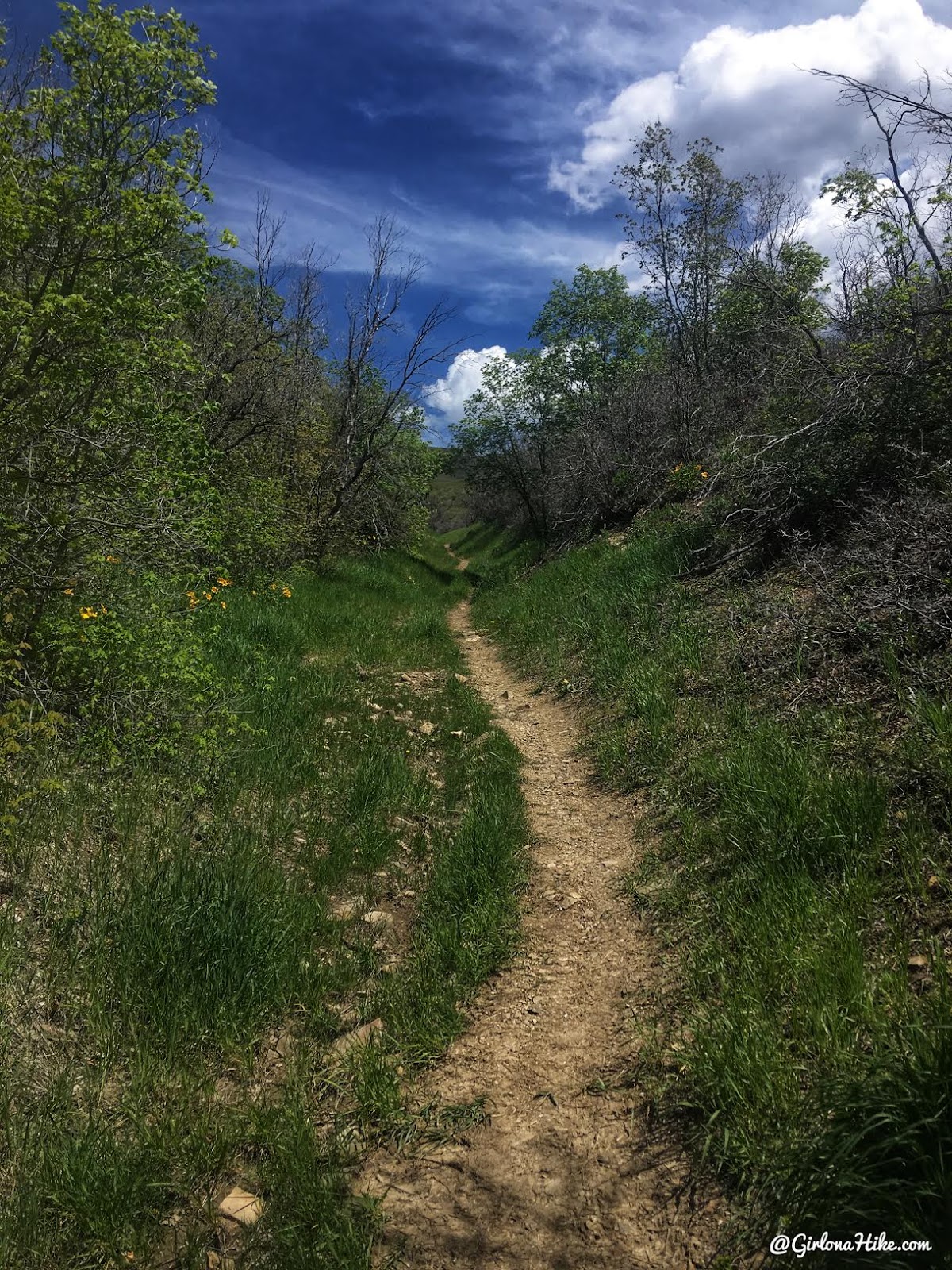
This time I hiked at the end of May and the trail was dry – much better!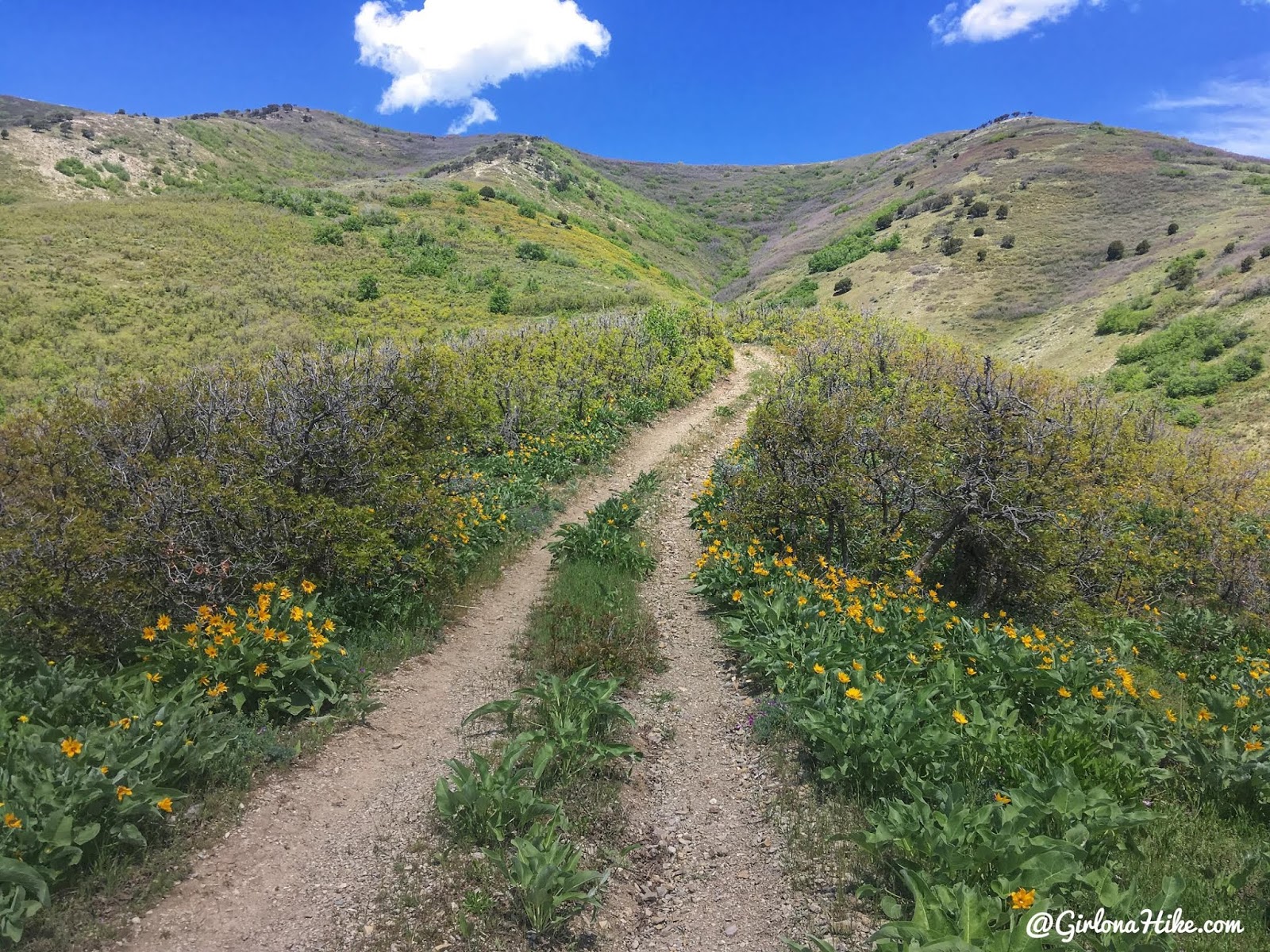
Nice to see it so green!
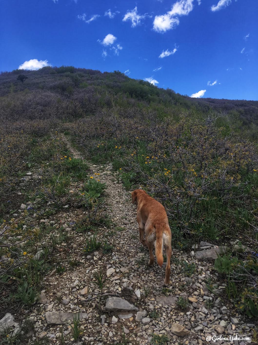
Charlie leads the way.
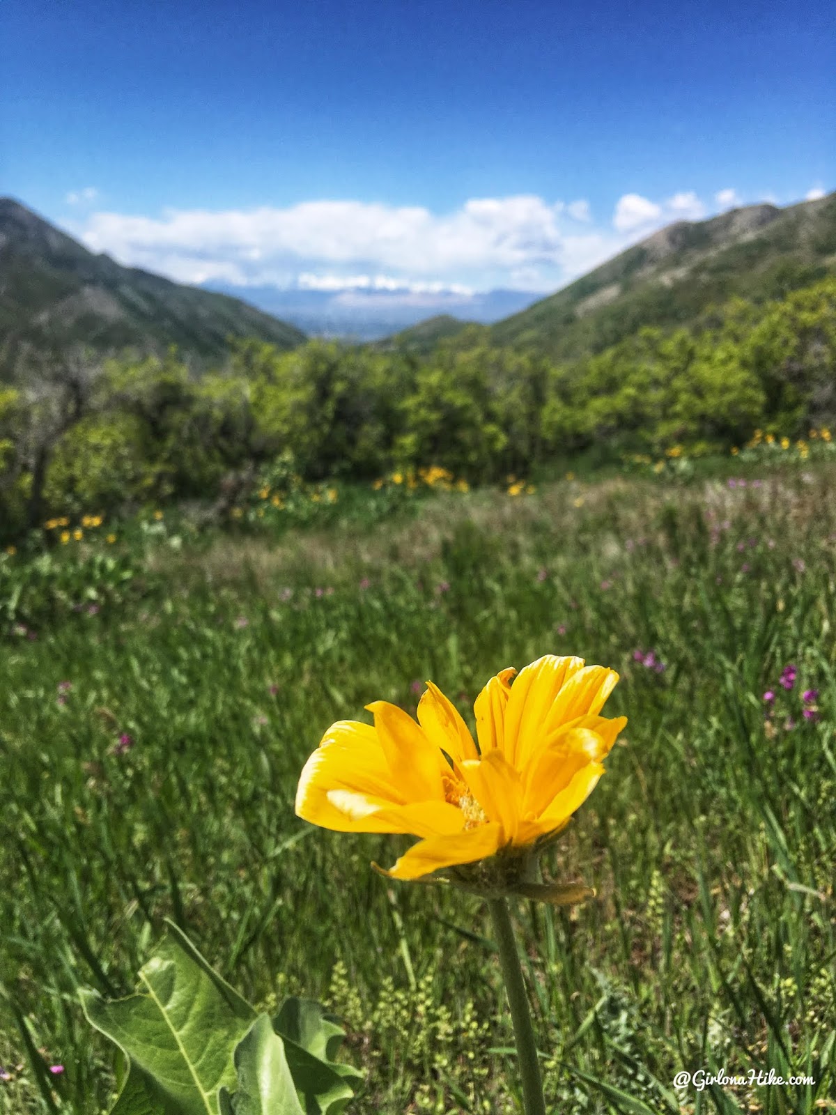
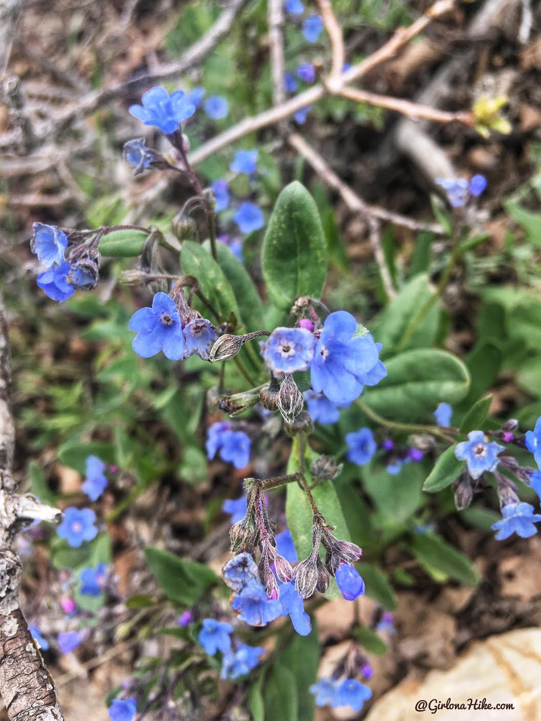
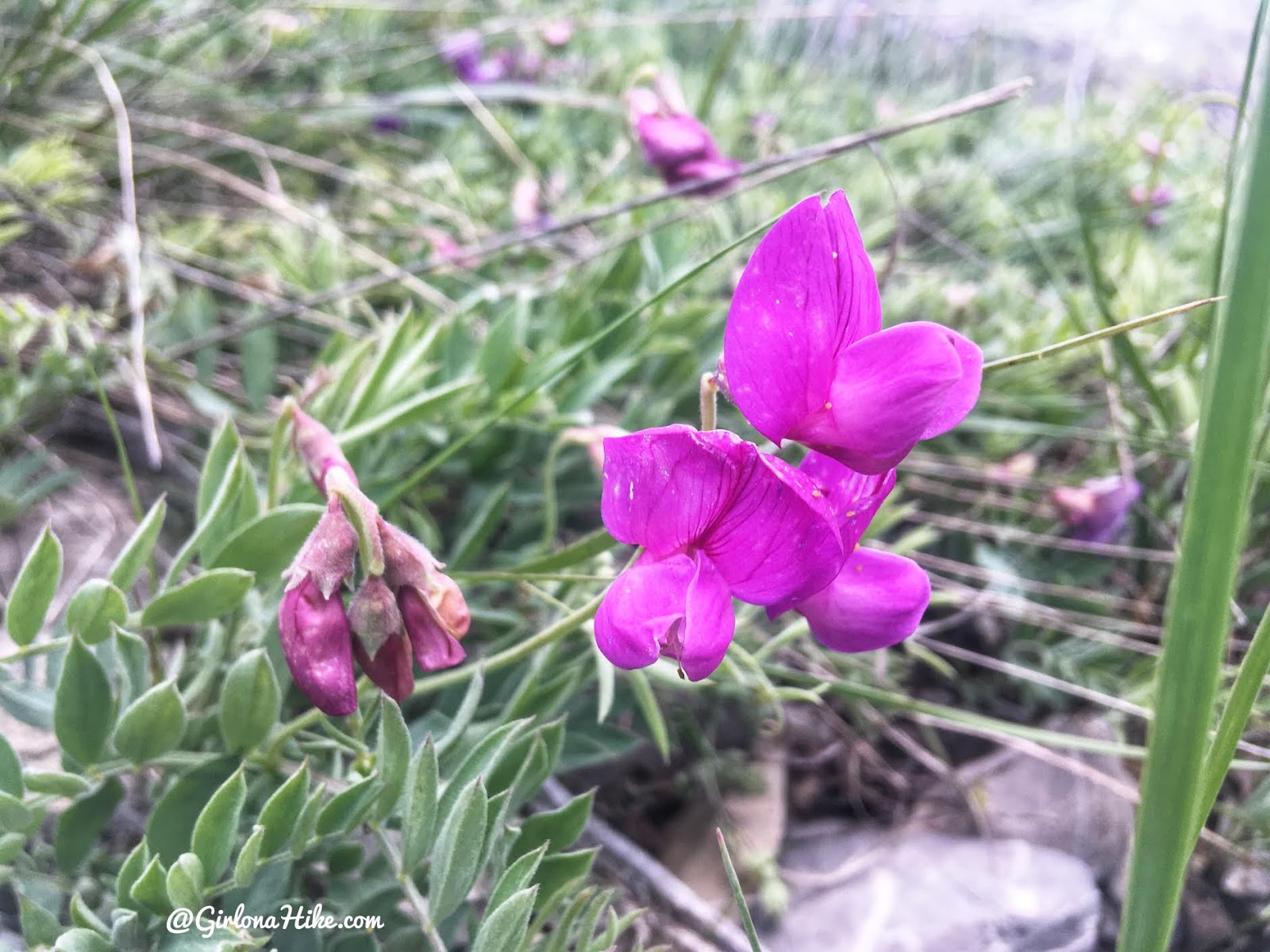
There were all kinds of blooming flowers.
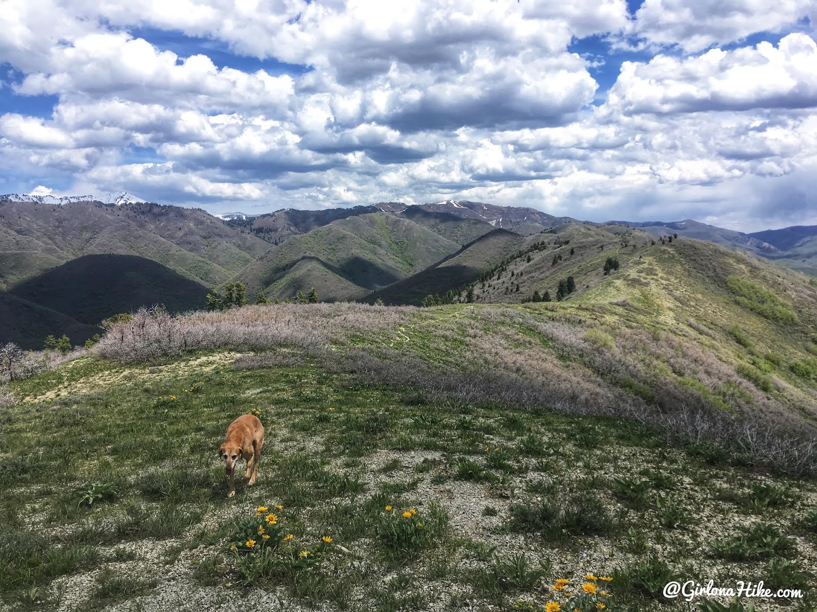
On the ridge – this time no snow! The last dot of white on the right is Lookout Peak.
This flower is called
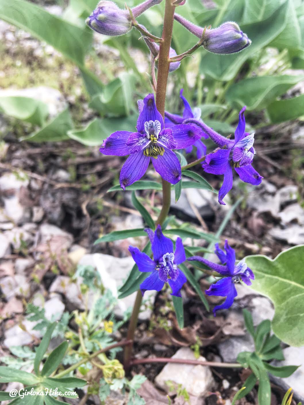
Another pretty flower, which is a
This flower is a
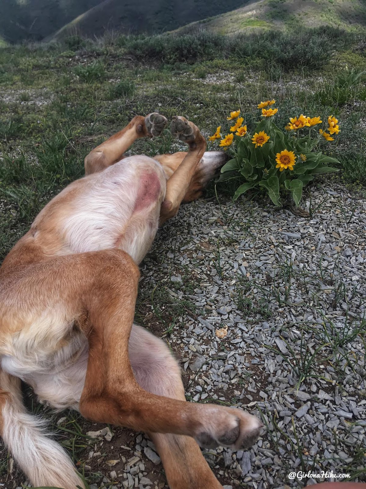
Why smell the flowers, when you can just roll in them?!
I definitely preferred this trail in late Spring!
Trail Map
My track via Gaia GPS – the best tracking app! Get your app here for a discount.
Recommended Gear
Nearby Hike
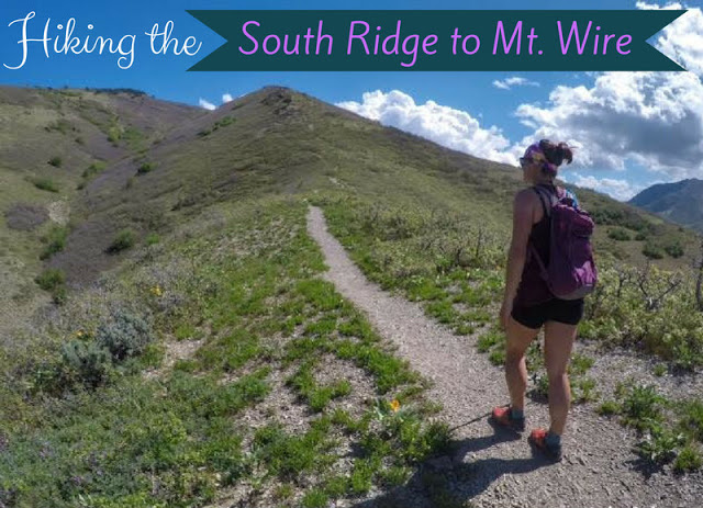
Hiking the South Ridge to Mt.Wire

Save me on Pinterest!