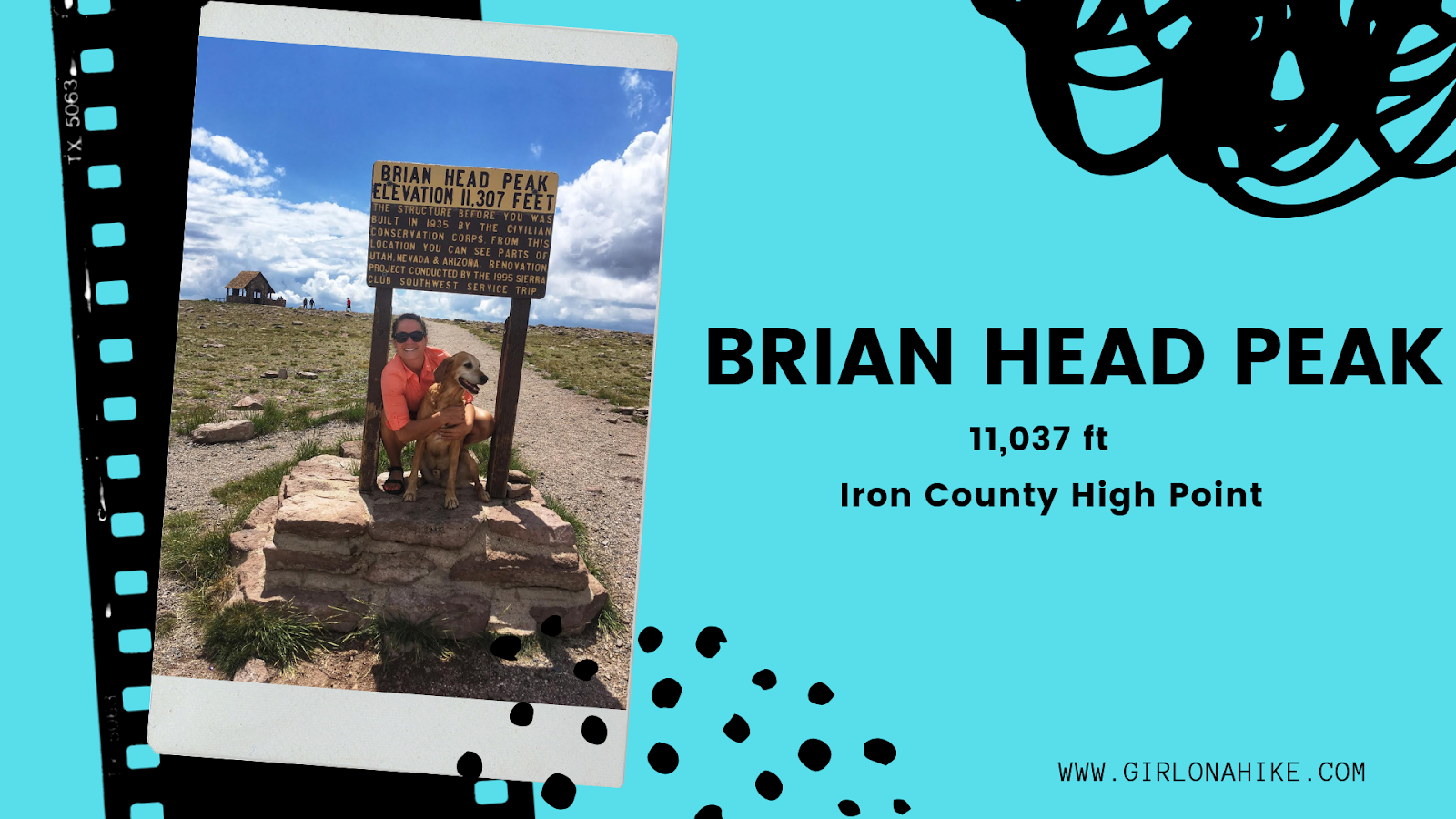
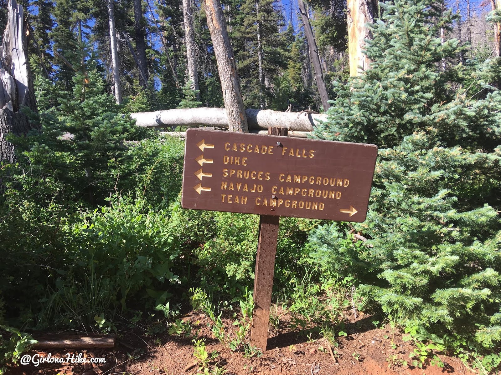
The Kane County High Point (10,080 ft) is located on a small ridge similar to the Wasatch County High point, rather than on an actual peak. The highest actual peak, Andy Nelson Peak (10,027 ft) is nearby so it is worth to do both on the same day. In one day, we actually did the Kane CoHP, Andy Nelson Peak, hiked Cascade Falls, drove through the lava fields, and then drove to the Iron County HP (Brian Head Peak).
About
Directions
Andy Nelson Peak
Distance: 4 miles RT
Elevation gain: 877 ft
Time: 2-3 hours
Dog friendly? Yes, off leash
Kid friendly? Yes, ages 6+
Fees/Permits? None
Directions:
Start at Navajo Lake Lodge. Park here, and then simply walk across
the road. Here’s a pin of where to park.
Kane County High Point
Distance: 0.4 miles RT
(depending on how far your car can make it)
Elevation gain: flat
Time: 5-15 min RT
Dog friendly? Yes, off leash
Kid friendly? Yes
Fees/Permits? None
Directions: From Navajo Lake Lodge, drive back out to HWY 14 and turn left. Drive 3.1 miles and turn left on FR055. Drive 1.5 miles, then turn left on FR1642. If you are driving a small car, you’ll want to park here and either hop in a friends 4×4 car or start hiking from here. If you have a higher clearance car, continue straight for another mile or so, as far as your car can make it. We parked about 5 minutes from the actual summit since the road got really rutted out and narrow.
Here’s a driving map.

Andy Nelson Peak
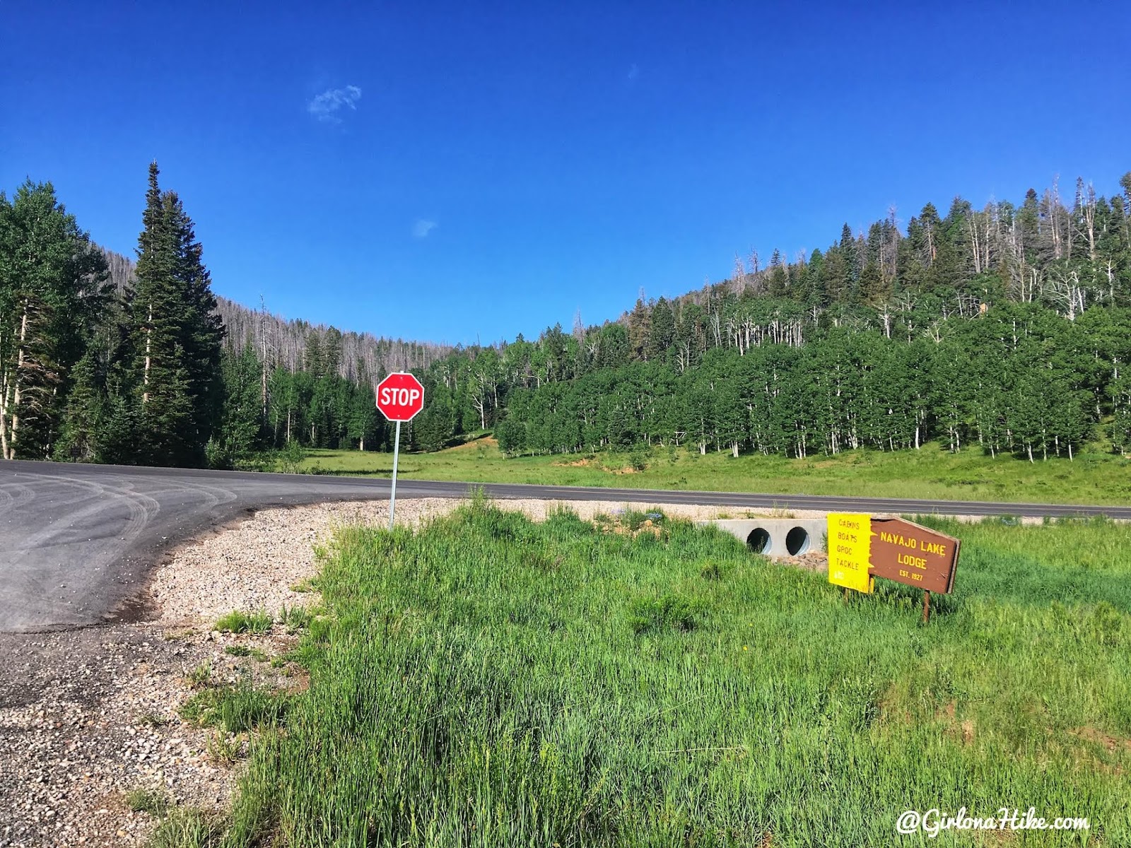
Start by parking at the Navajo Lake Lodge, then walk across the road.
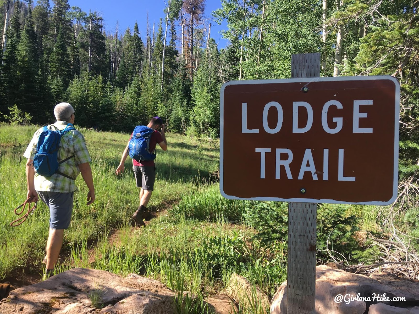
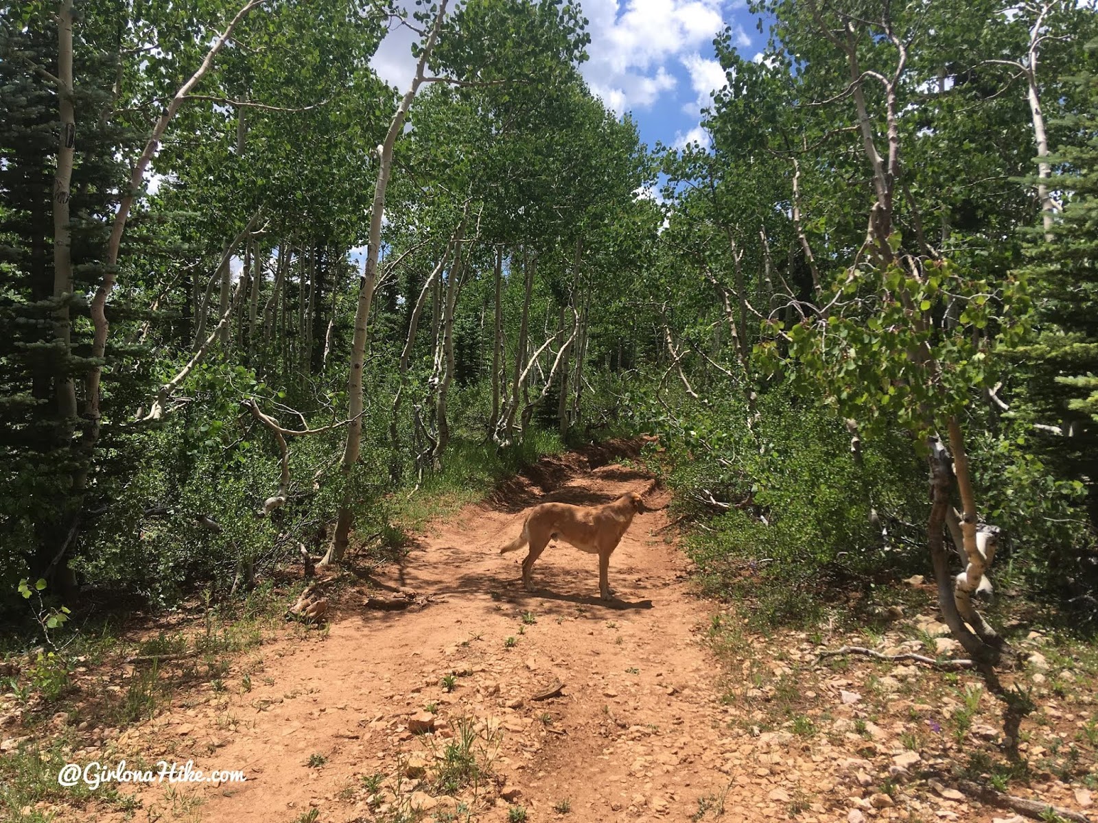
You’ll see the trail start right away named Lodge Trail.
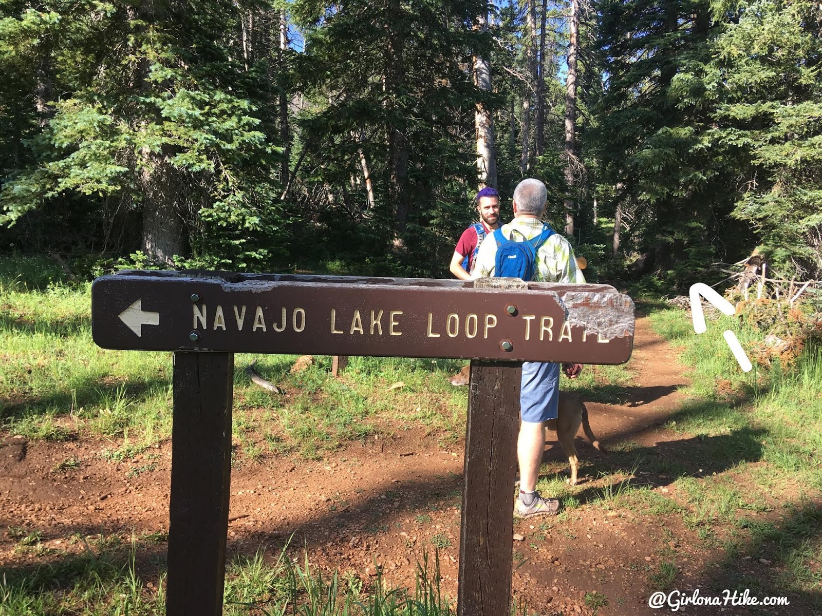
Soon after, you’ll reach the Navajo Lake Loop Trail split. Stay right (not left as the sign points).
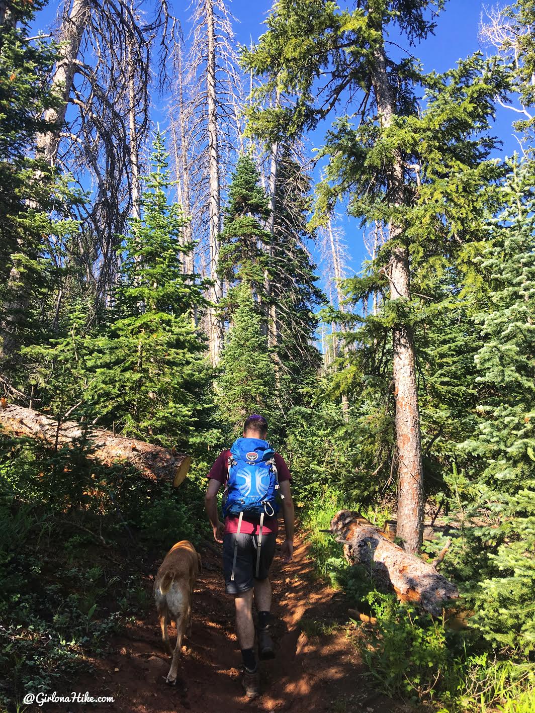
The trail is really well defined and gradually works up a few small switchbacks.
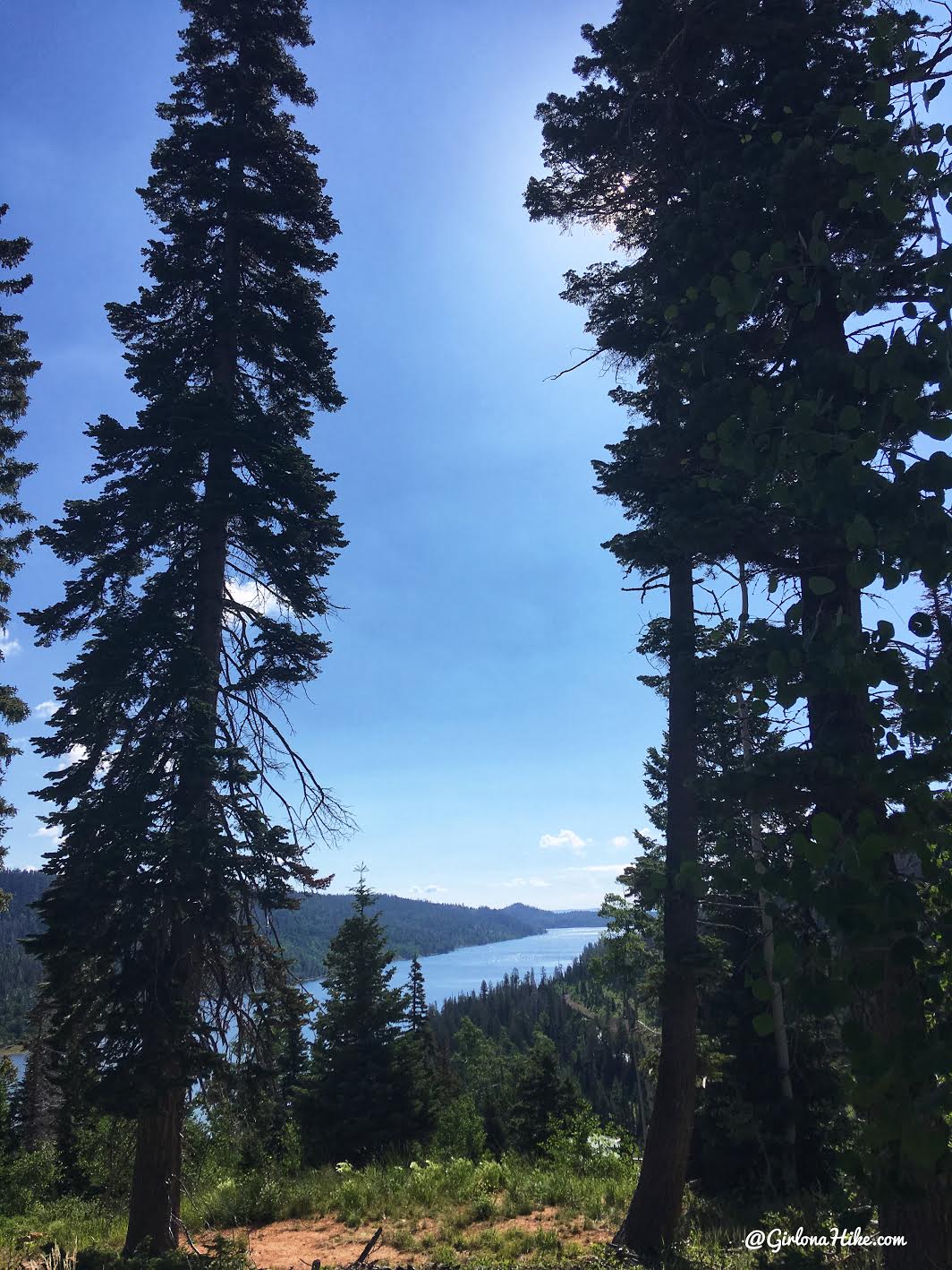
A nice view of Navajo Lake!
At 1.2 miles reach the next trail split, and turn left.
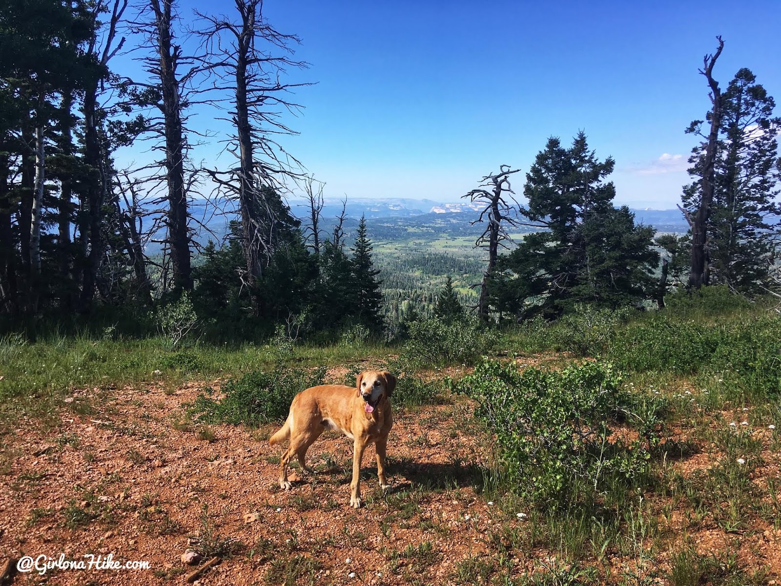
The next stretch of trail very gradually gains elevation until you reach the saddle. Here, you have a nice view all the way to Zion on a clear day.
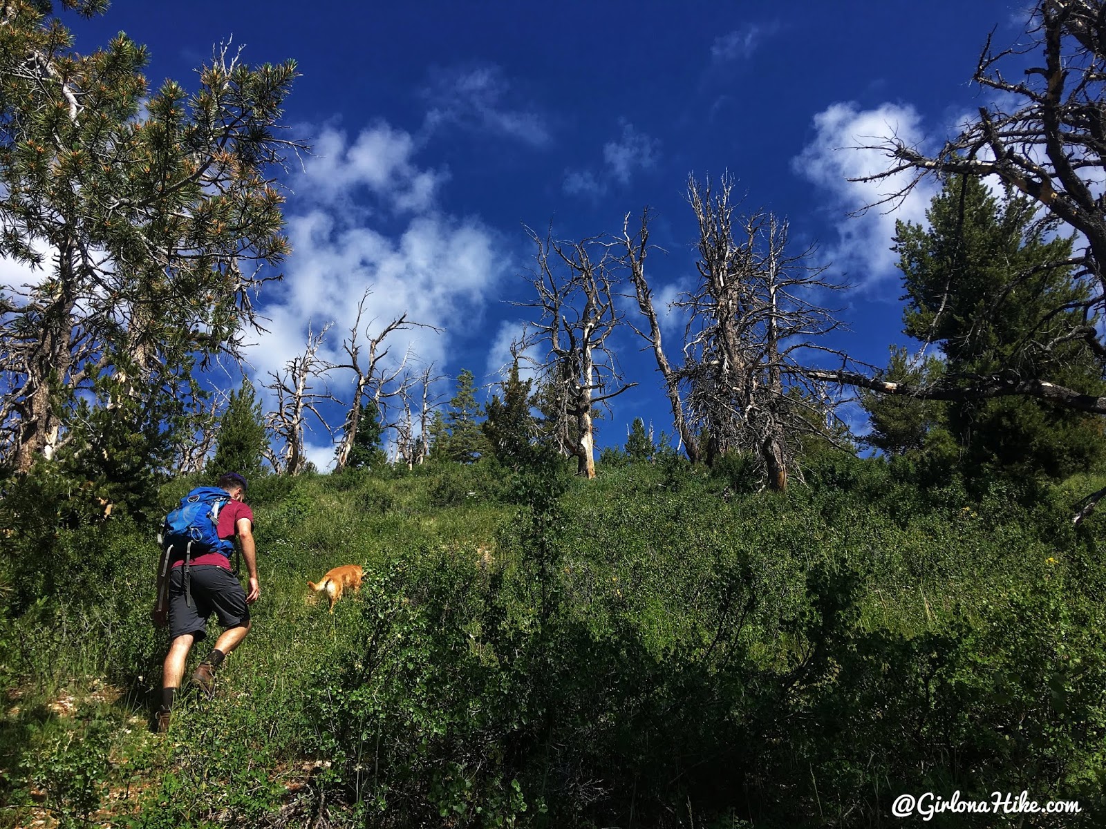
From the saddle turn right and start hiking off-trail, staying on the ridge.
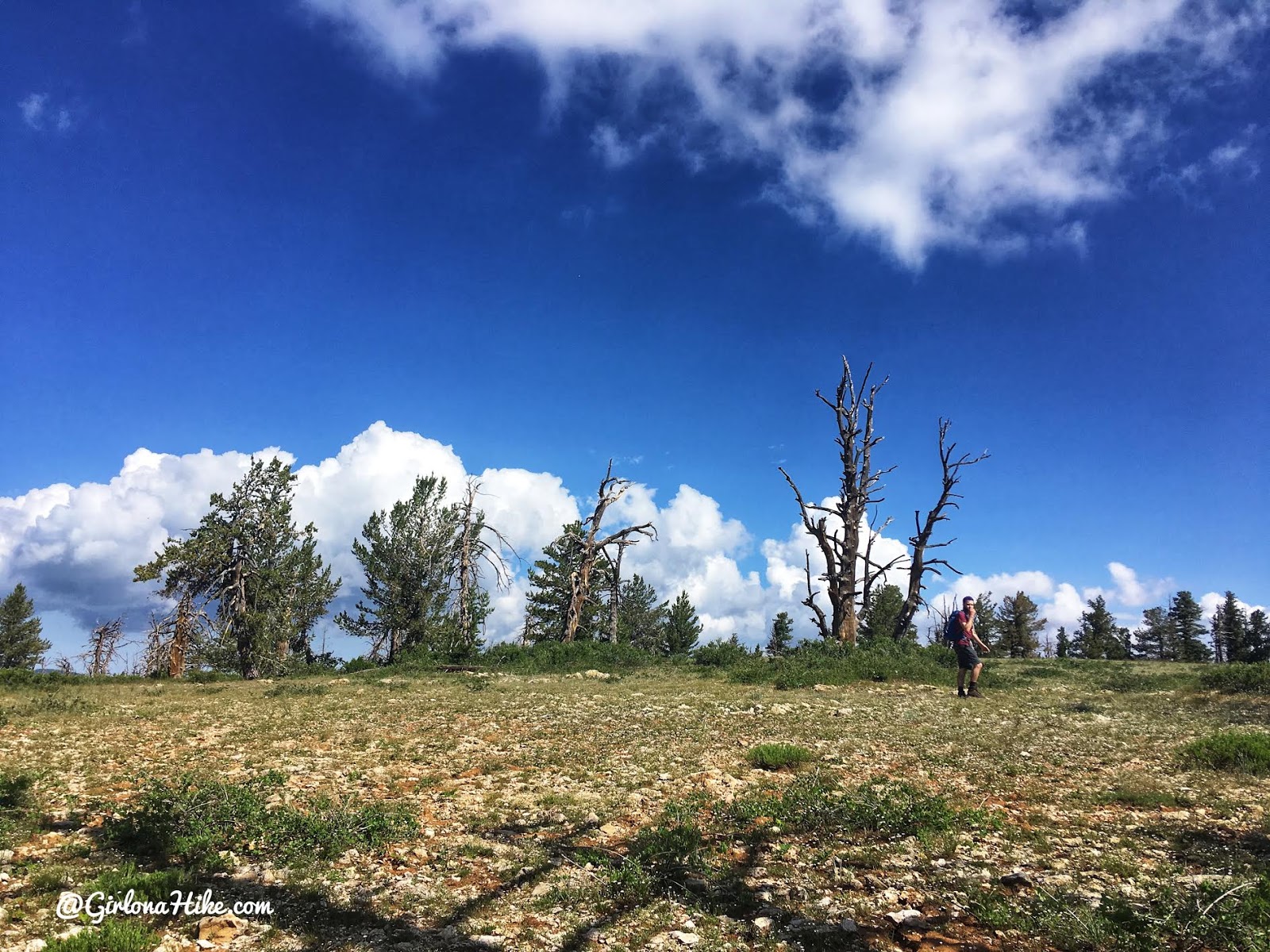
Reaching the top of the ridge – just a little further to the actual summit.
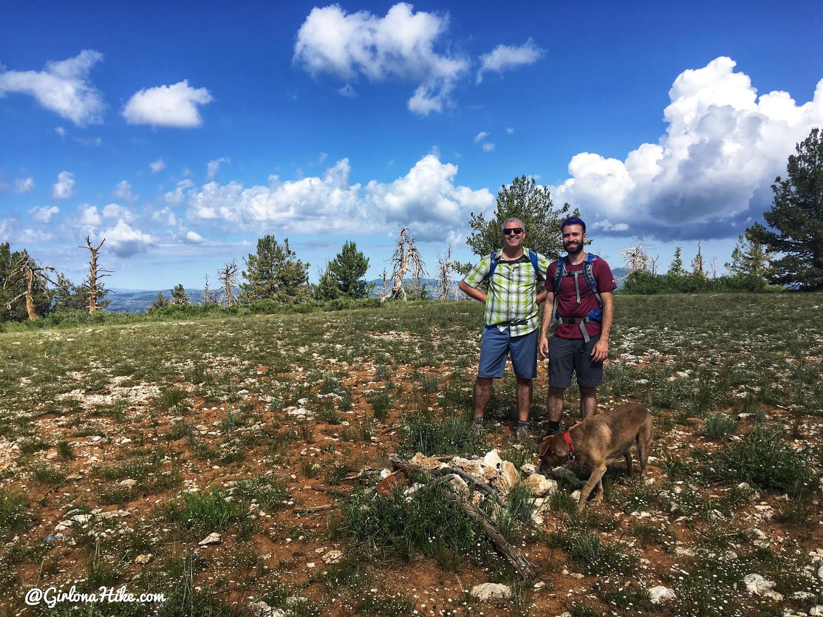
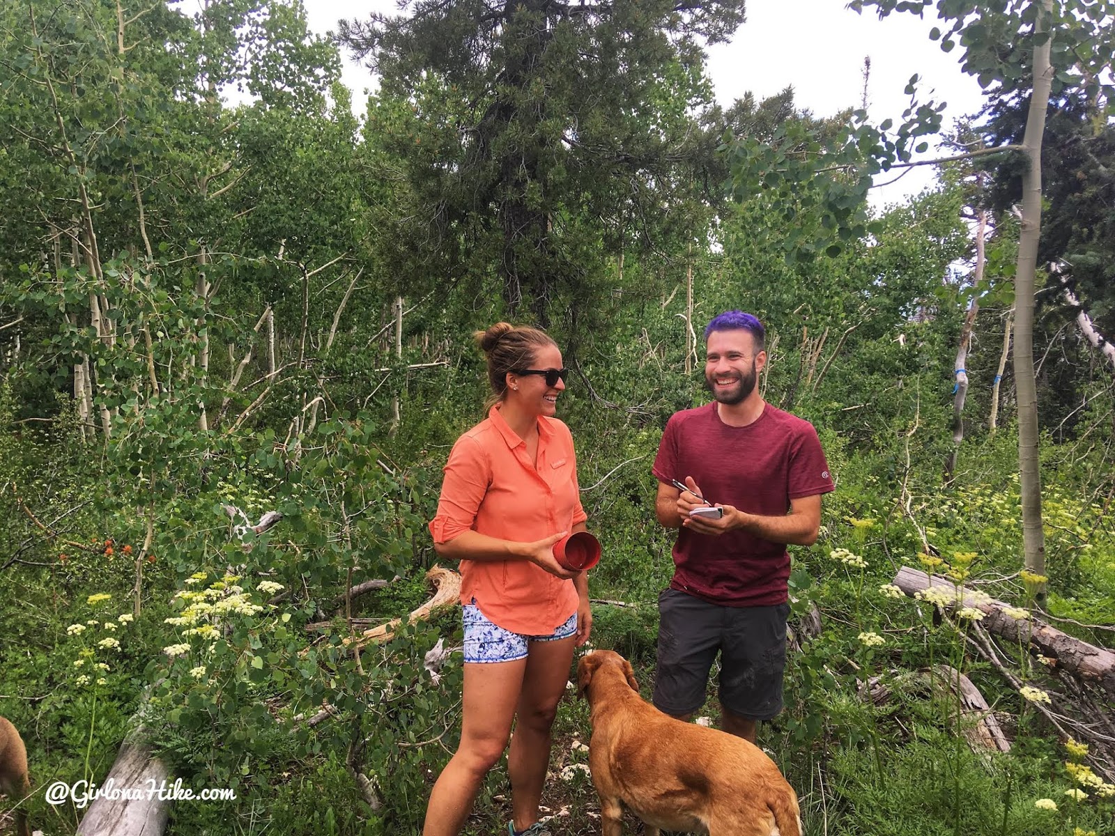
Yay, we all made it! It took us an hour to get to the top. There was no summit register to sign – how sad!
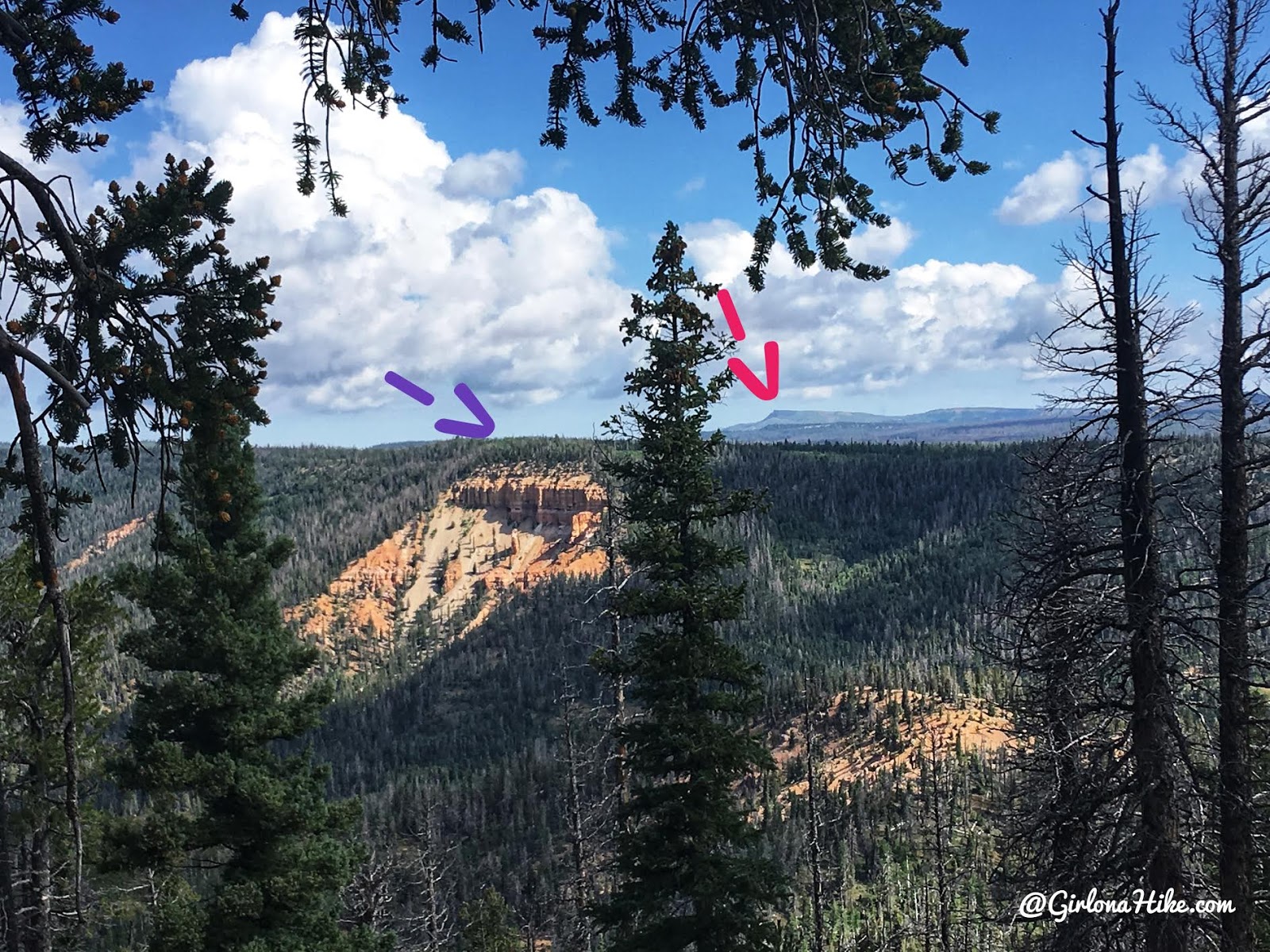
From Andy Nelson Peak, if you walk just a little further West (100 yards), you can see Brian Head Peak (red arrow, the Iron County High Point), and the actual Kane County High Point (purple arrow).
Kane County High Point
After bagging Andy Nelson Peak, we headed over to Kane CoHP on the same day.
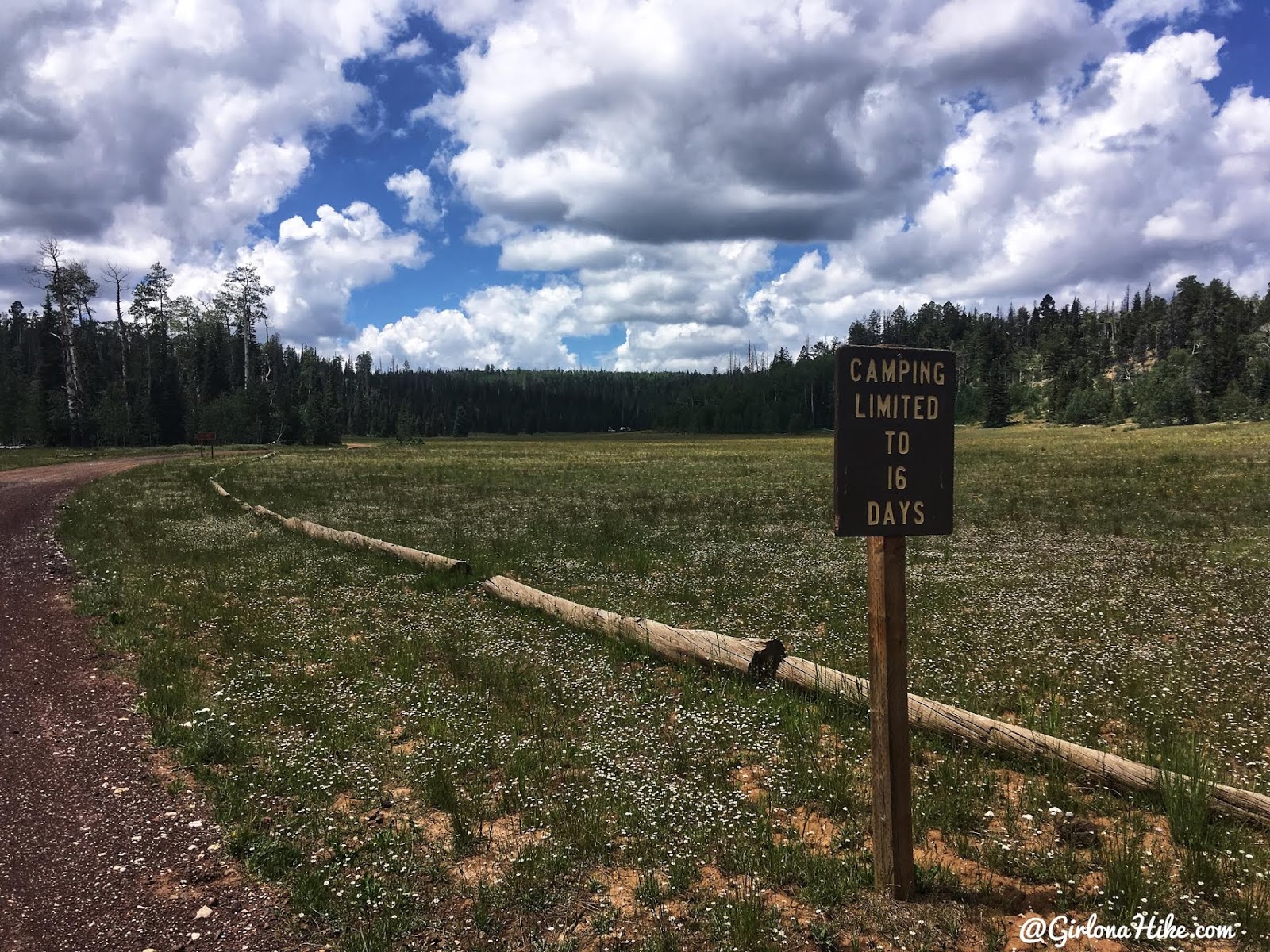
The first sign after turning onto FR055. There’s also a large sign talking about the sheep allotment and to keep dogs on-leash if you camp here.
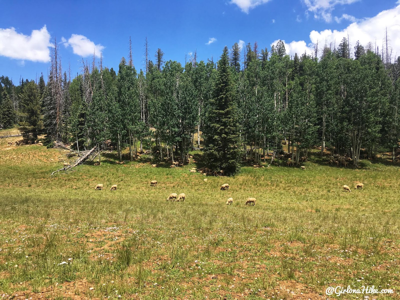
We saw hundreds of sheep!
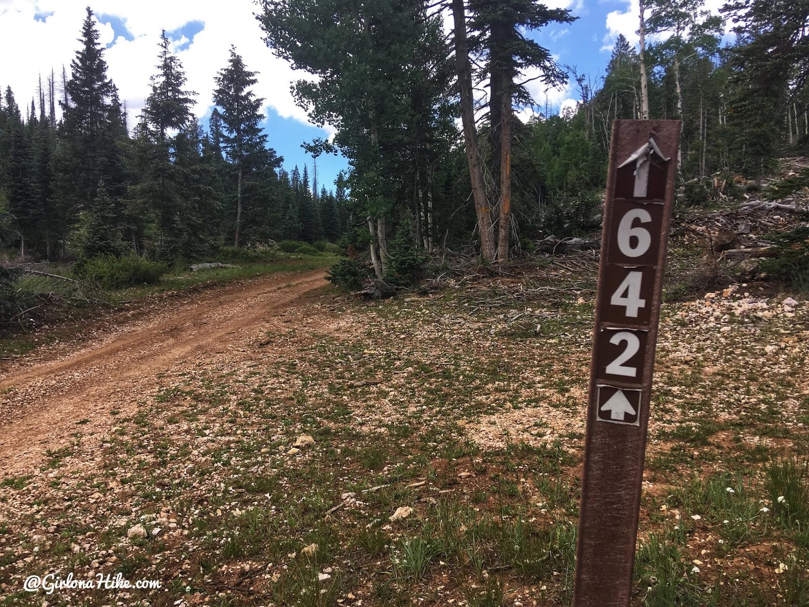
Turning onto FR1642.
There are several dirt roads back there, but you’ll want to stay straight (aka Marathon Trail).
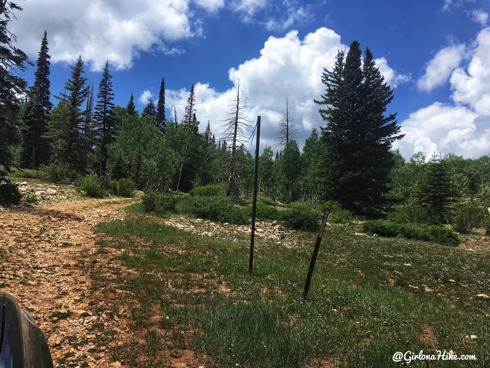
Just past the 4-way intersection, the road started to get really narrow from trees so we pulled over to park where we could. We started to hike from there.
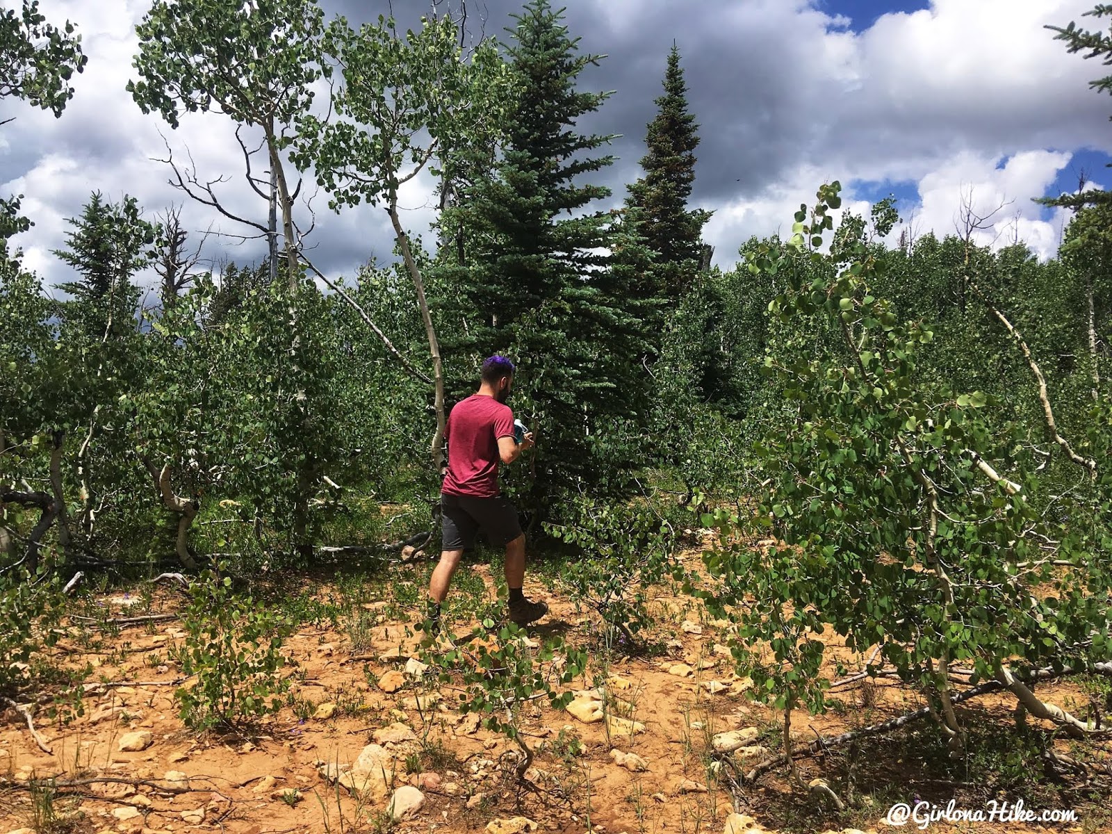
Hiking through the trees, off-trail, to find the summit.
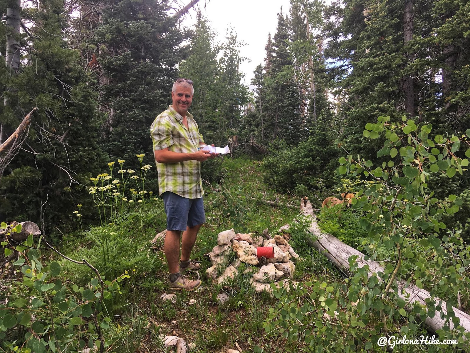
We found the high point within 10 minutes of hiking.
Signing the register. Not the coolest summit, but we marked it off our list!
Trail Map
My track via Gaia GPS – the best tracking app! Get your app here for a discount.
Recommended Gear
Save me on Pinterest!
Backpacking the Ashdown Gorge via Rattlesnake Creek

Save me on Pinterest!