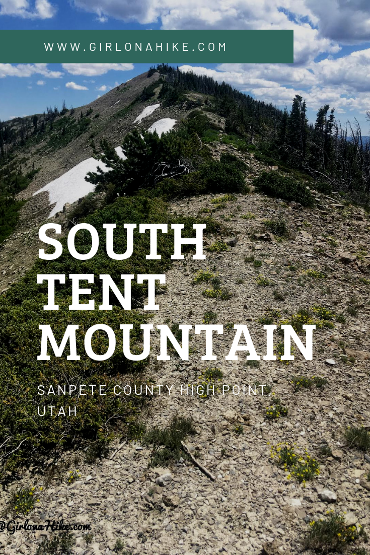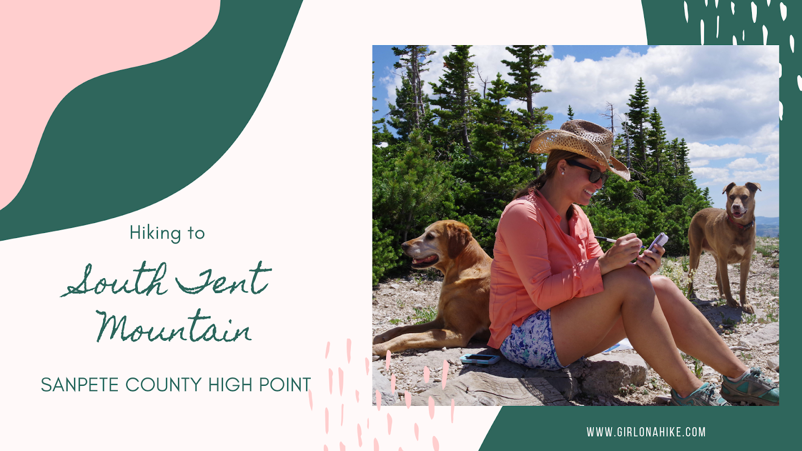
South Tent Mountain (11,285 ft) is the Sanpete County High Point, and an amazing hike along a ridge with wide, open views the entire hike. Most people chose to hike South to North (on the South end of the mountain) and just aim for the South Tent saddle. However, we hiked the entire ridge to also bag North Tent Mountain (11,230 ft). The ridge is a very easy hike, and no technical gear or scrambling is required. This route is only 5 miles RT – only a little longer than the traditional saddle route, yet you’ll bag two peaks.
About
Directions
The drive up the canyon takes about 45 minutes even though it is only about 13 miles one way. In Spring City, UT head East on E 100 S. The road briefly turns left on S 700 E, and then turns right immediately onto Spring City Canyon Road. Follow this road up the canyon until you reach Skyline Drive and turn right again. Drive one more mile, and veer left on FR2203. Drive down about 100 yards or until you find a good spot to turn around and park. Begin hiking here.
Light blue – driving map
Trail Info
Distance: 5 miles RT
Elevation gain: 945 ft
Time: 2-4 hours
Dog friendly? Yes, off leash
Kid friendly? Yes, ages 9+
Fees/Permits? None
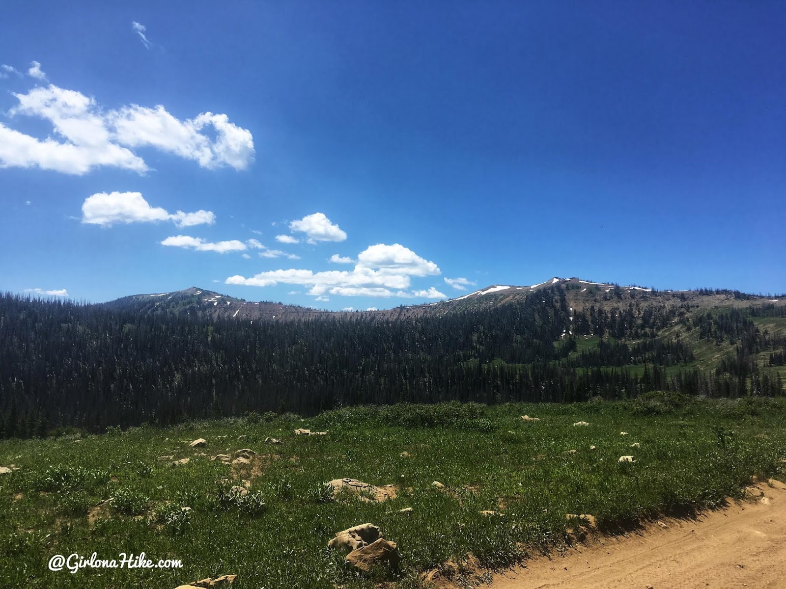
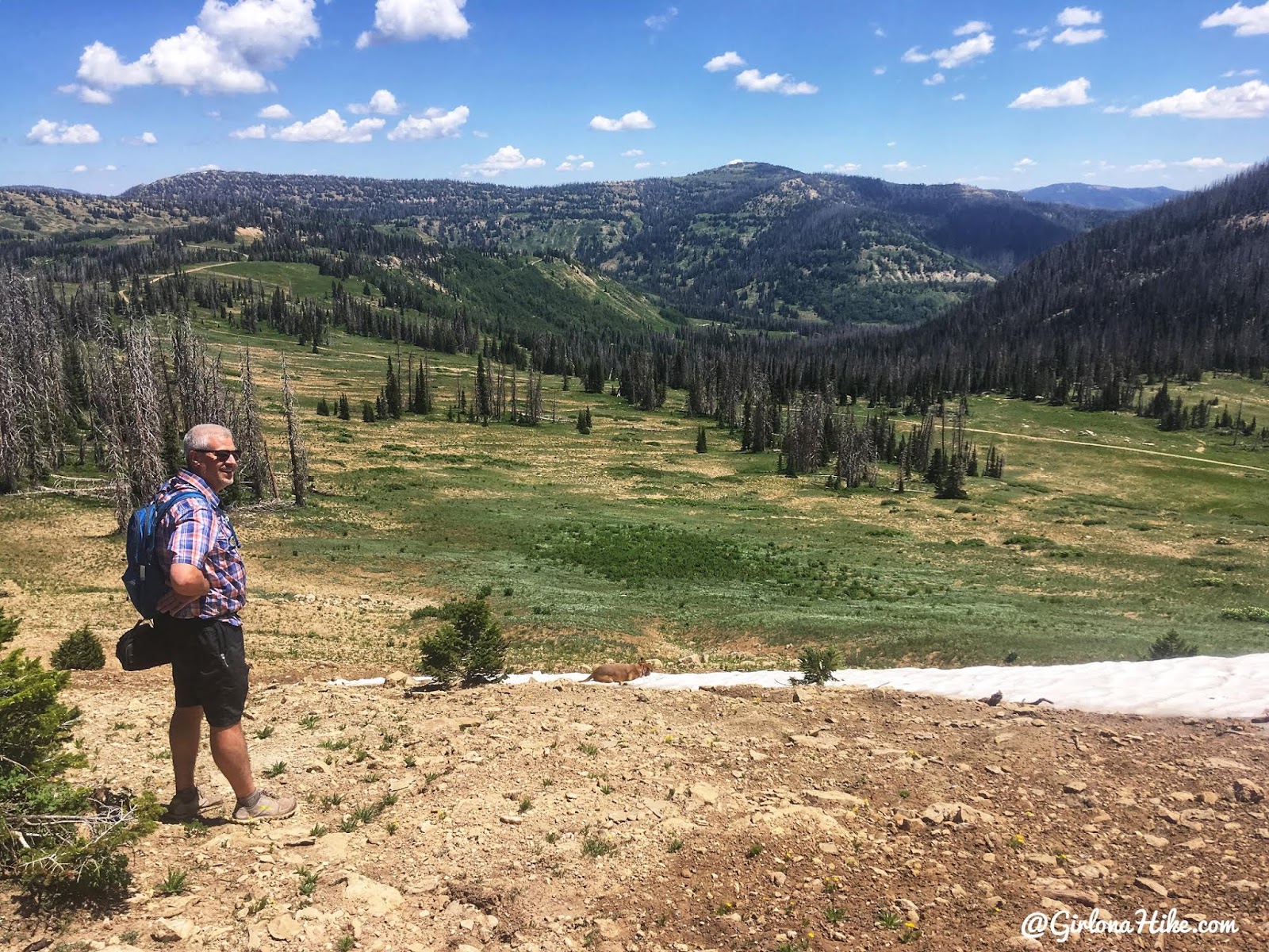
The original plan was to hike the most popular route, which is on starting on the other side of this mountain, then hiking South to North to the South Tent saddle. As soon as we drove up to this spot, we both said, “Wow, that ridge looks amazing. Maybe we should just do the whole thing??” We agreed to change plans, and parked near the end of the ridge (the northern most area), where the road splits off a little, and start hiking from there. Check out my map below to see where we parked and started hiking. North Tent is on the right, South Tent is on the left. This is looking South.
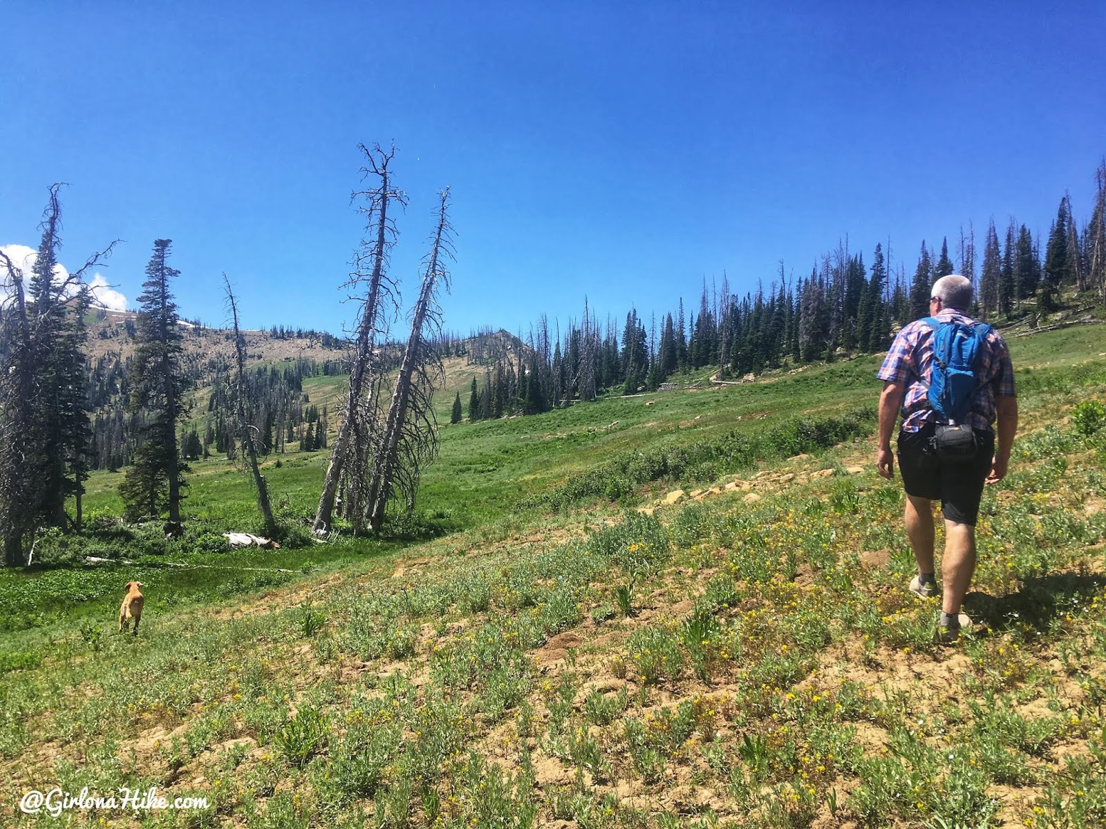
We found a pull out for the truck, and begin hiking towards the ridge. There’s no trail for this section, we just aimed up.
As we reached the lower section of the ridge we actually caught a trail! We weren’t expecting that at all, but it was sure nice to see. You can make out the trail faintly here.
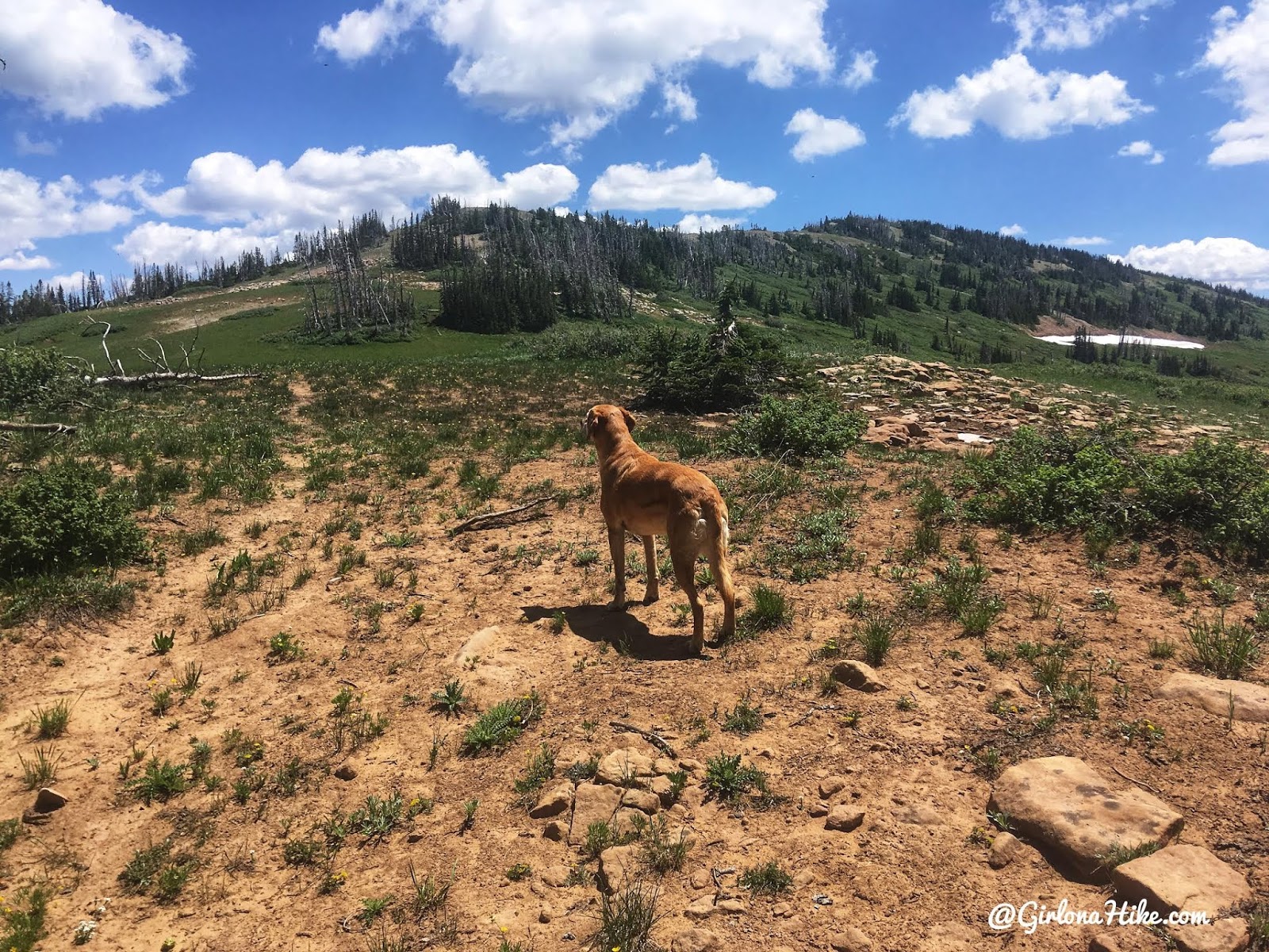
Stopping to catch our breath, and the view below us was amazing. So green!
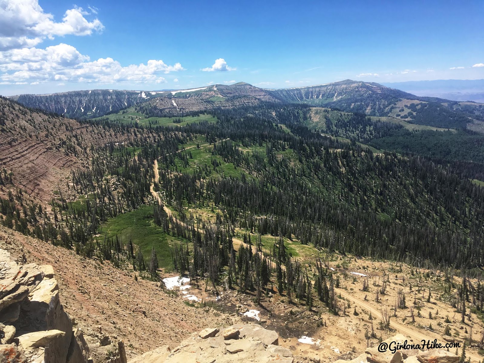
After hiking up the ridge and following the faint trail, we came to this first really nice overlook. That road below us is the road most people continue driving to reach the popular starting point for this peak.
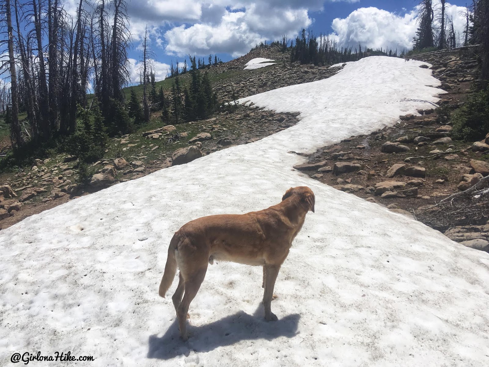
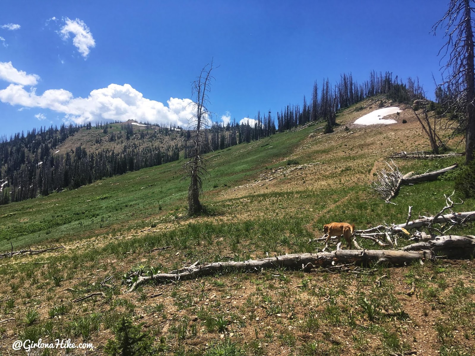
Snow on the way up to North Tent Mountain.
After only 1.2 miles we summited North Tent Mountain!
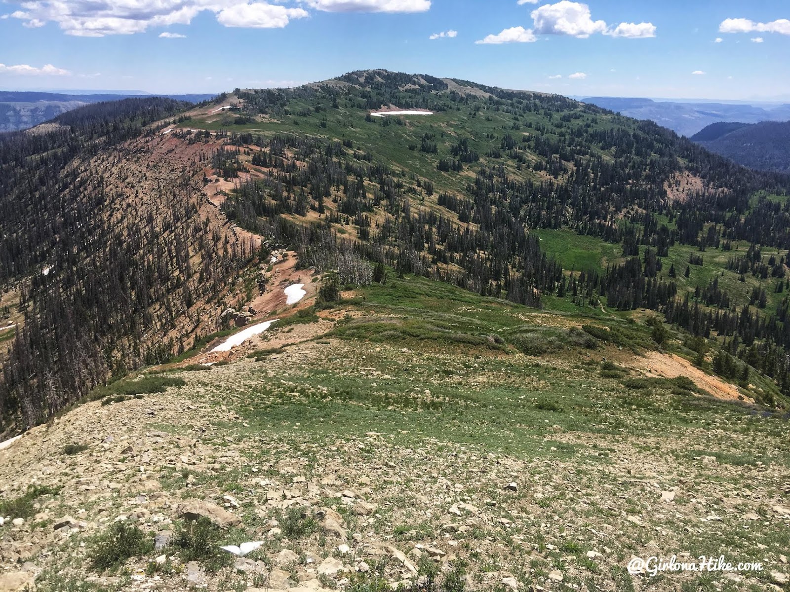
From North Tent Mountain, we simply followed the ridge down to the saddle (again, that is the area where most people hike up to, coming up from the right side of this photo). South Tent Mountain is the peak ahead, and our destination.
Again, we caught a faint trail the entire hike along the ridge.
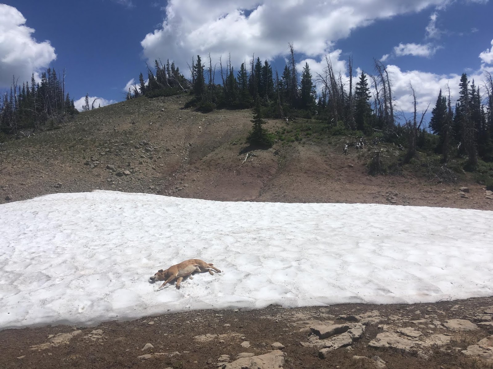
More snow patches for the pups to cool off!
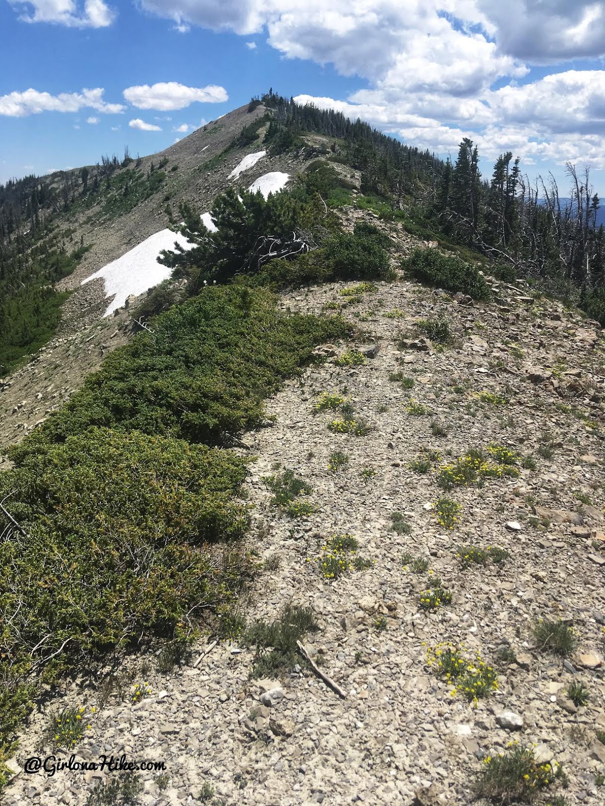
Just stay on the ridge, and you should be aiming for South Tent Mountain. This is the last section leading up to the summit.
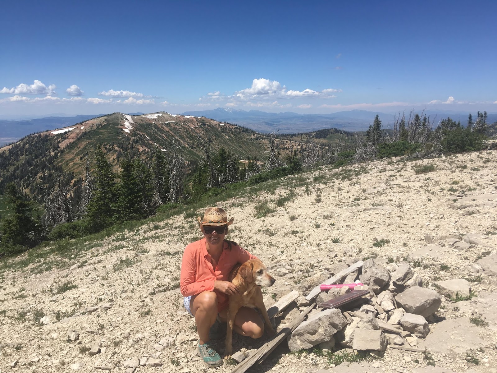
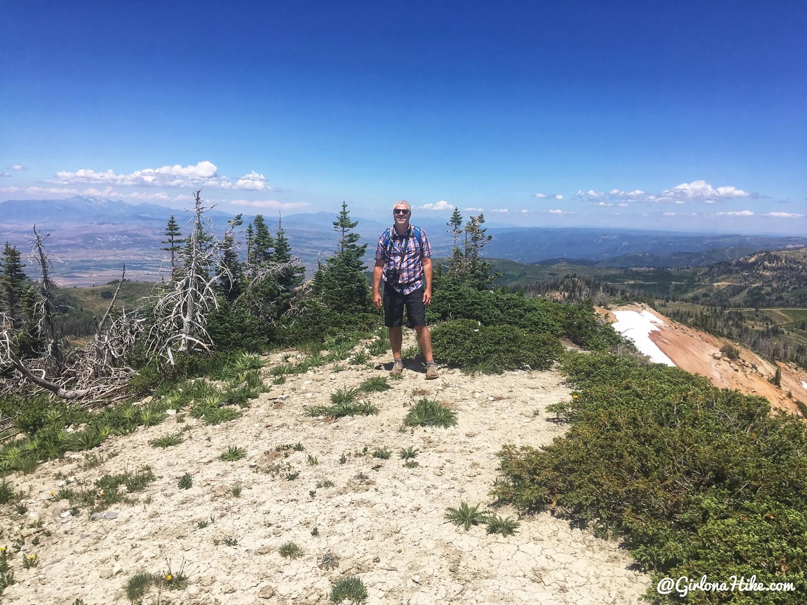
On the summit of South Tent Mountain! It only took us 1 hour 34 minutes to reach this peak. Not bad for a casual pace! North Tent Mountain is directly behind us.
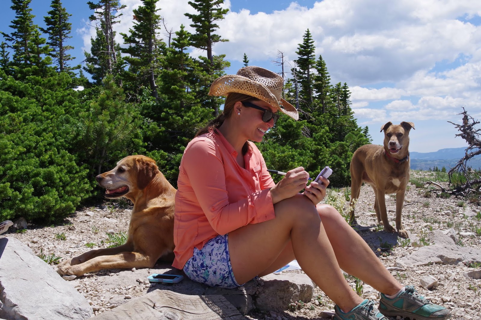
We signed the summit register, then returned the same way to hike up, along the NW ridge.
Trail Map
Light blue = drive up
Dark blue = hike
My track via Gaia GPS – the best tracking app! Get your app here for a discount.
Recommended Gear
Nearby Hike
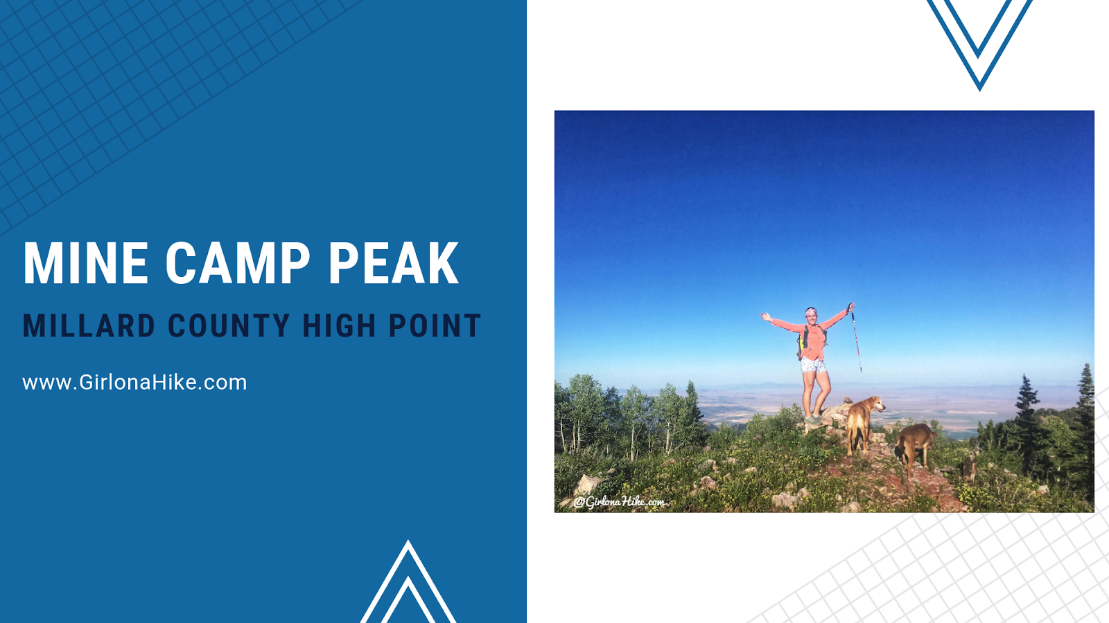
Mine Camp Peak, Millard County High Point

Save me on Pinterest!