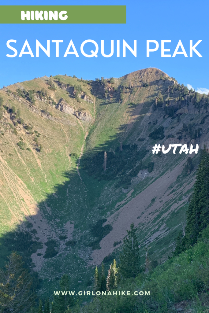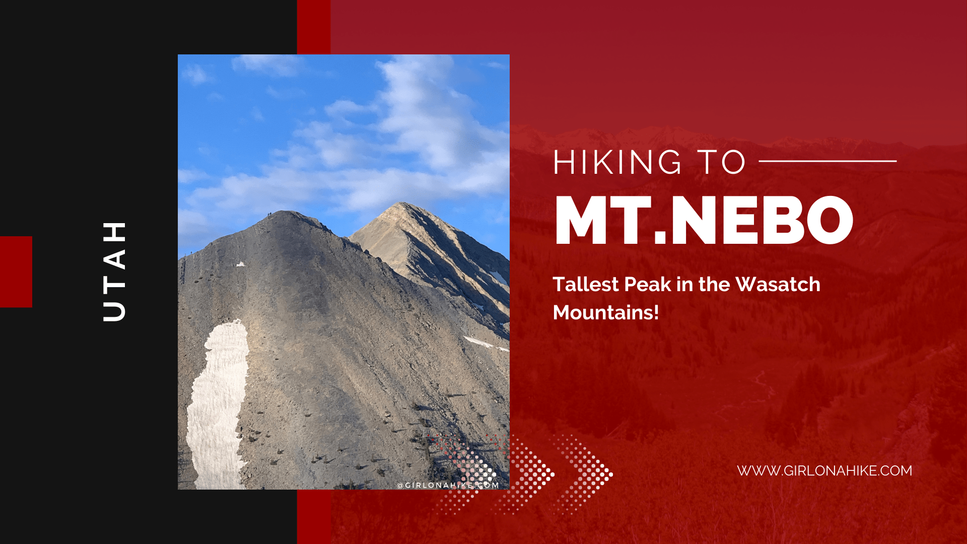

Santaquin Peak & Loafer Mountain are the peaks above, well, Santaquin, Utah and are in between the famous Mt. Nebo (tallest peak in the Wasatch) and Spanish Fork Peak.
About
Though the trail leads to Santaquin Peak, Loafer mountain is 2 ft taller, yet not many people go off trail to summit it. Santaquin Peak offers better views compared to Loafer Mountain, as you have 360 degree views of Utah lake, Timpanogos and Provo Peak to the North, Mt. Nebo to the southwest, and on a clear day you can even see Deseret Peak to the West. The first half of the trail is mostly forested, and the second half if fully exposed to sun and wind. Santaquin Peak has just under 3,000 ft of prominence.
Directions
From SLC, head south on I-15 and take exit 250 towards Payson, UT. At the first stop light, turn left (on E 100 N). At the next stop sign turn right onto the Nebo Scenic Loop Road (there’s a brown sign for the turn off).
Reset your odometer and drive 10.7 miles to the Loafer Mtn TH on your left (again, there is a brown forest service sign for the TH). Park here or along the road. No restrooms are available.
Trail Info
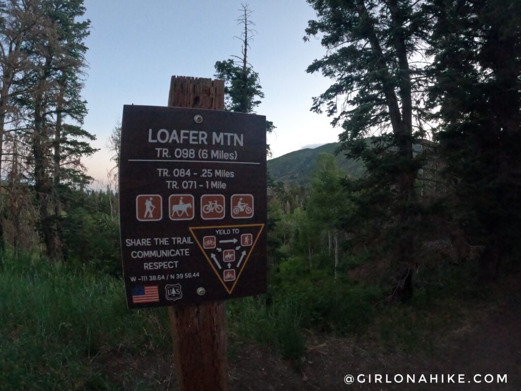
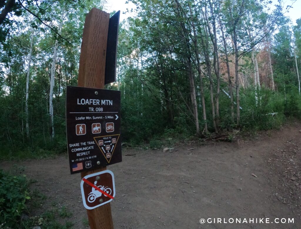
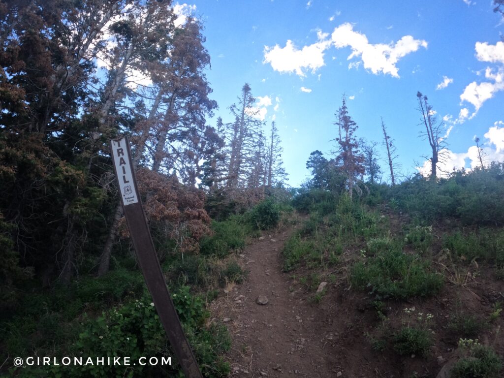
You’ll see this sign for 4 different trails. Head right for Loafer Mountain. It says 6 miles, but after tracking it, it was only 5.7 miles (one way).
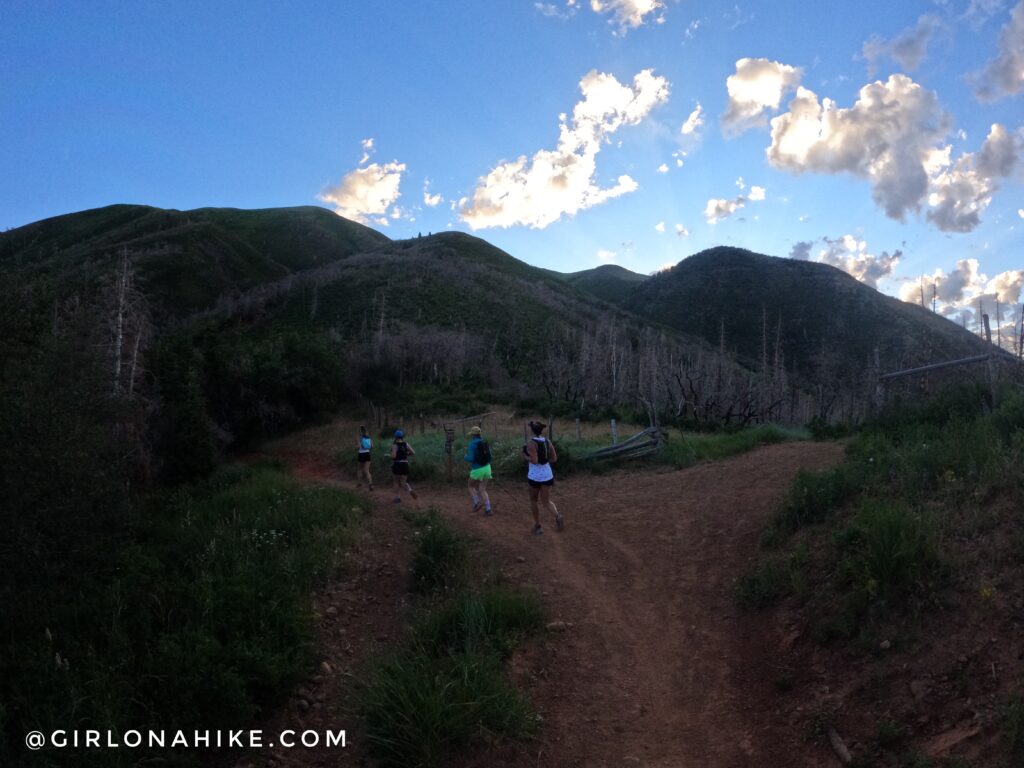
Pass a small meadow within the first 5 minutes. At the unsigned trail split at the fence, veer left.
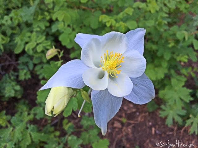
Beautiful Colorado Columbine flower along the trail.
And at the 3rd trail split, turn right.
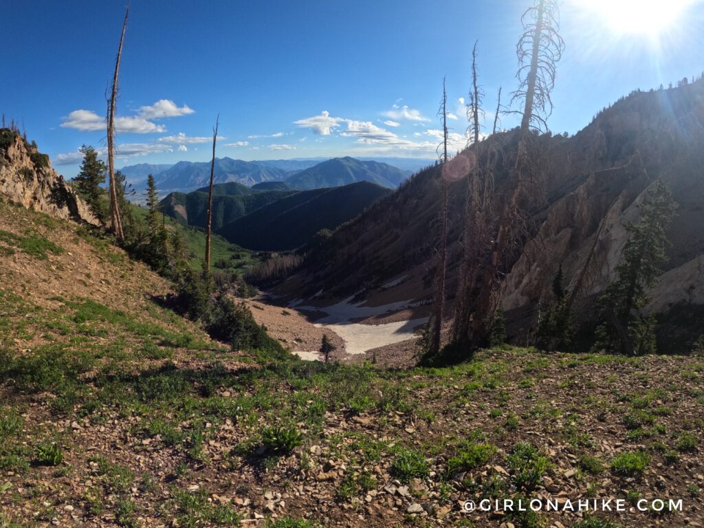
The next 2 miles has very thick, dense low shrub, but is otherwise uneventful.
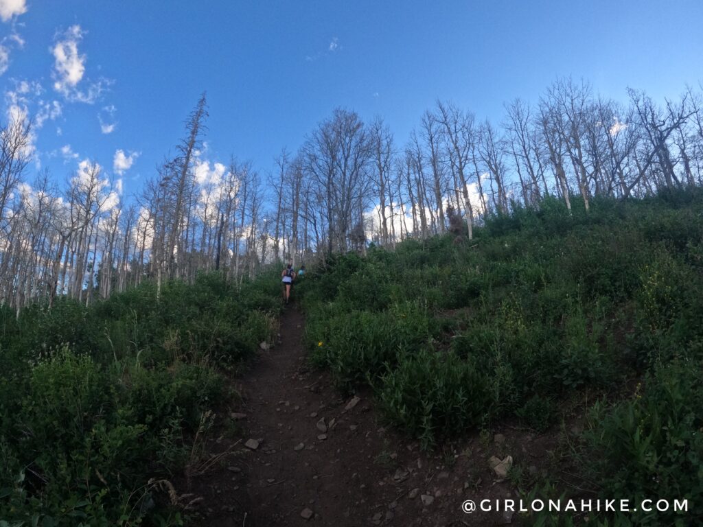
Around mile 2.3 the trail enters an Aspen grove, and turns East.
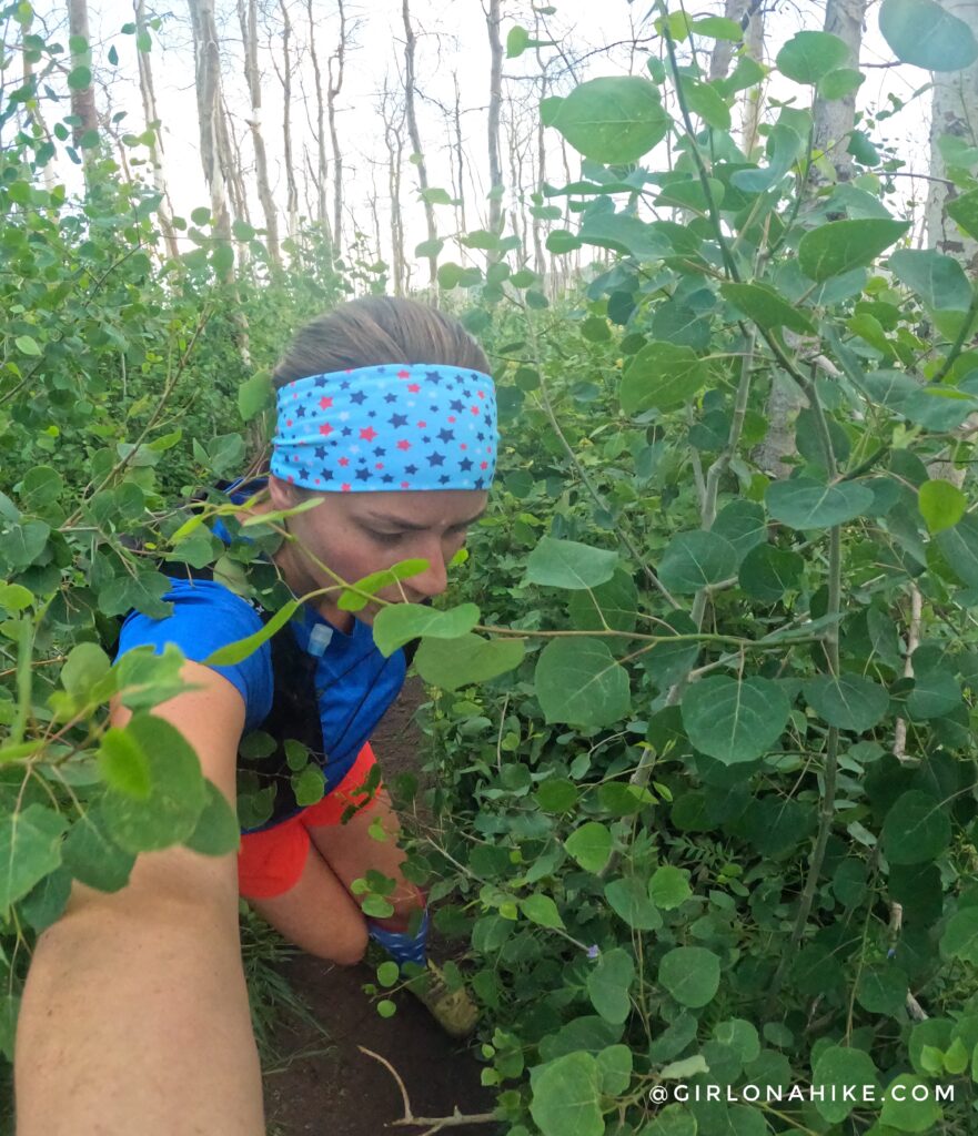
This section was very overgrown, and about 2 feet taller than me!
At 2.5 miles you will see the Trail sign and now the trail to Santaquin Peak gets really steep, and very sandy and rocky.
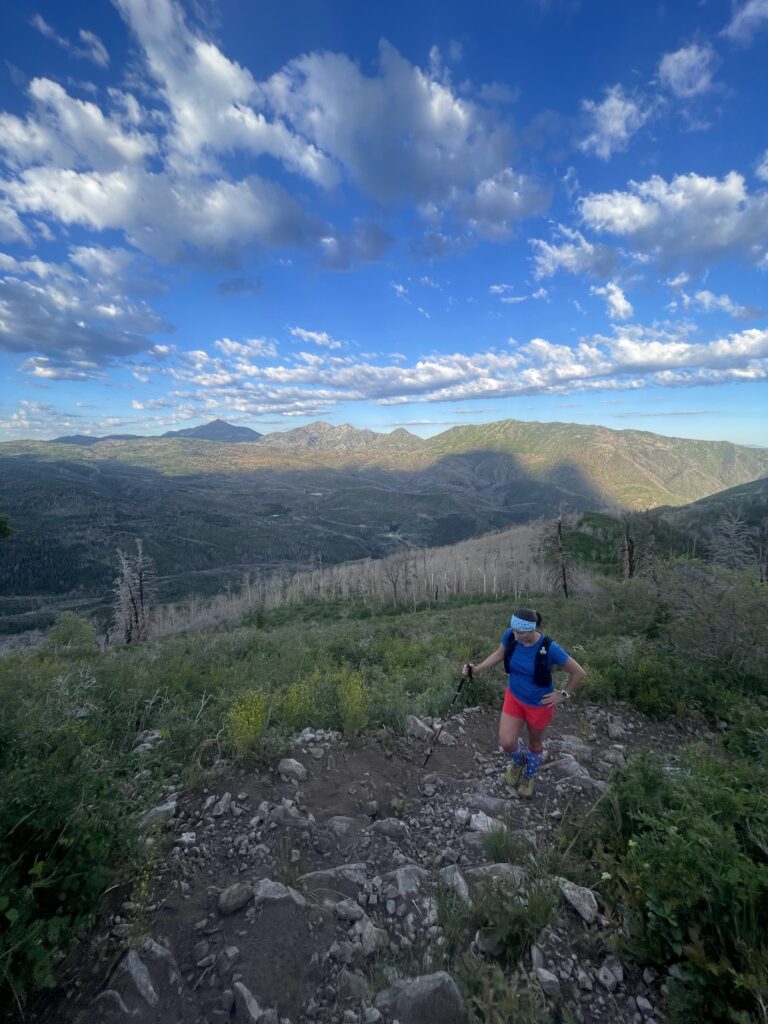
Don’t forget to look back at the amazing view with Mt.Nebo to the far left. I had actually hiked Mt.Nebo the day before so my legs were tired and I was moving slowly.
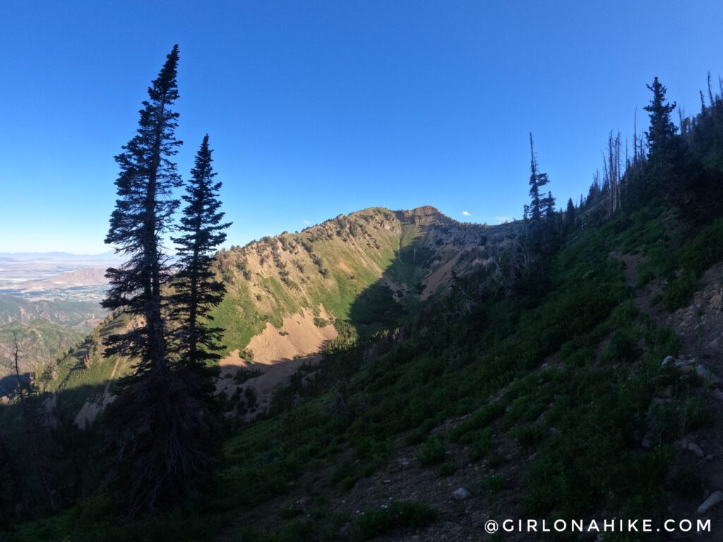
The trail becomes exposed and the trail eventually leads you up two switchbacks.
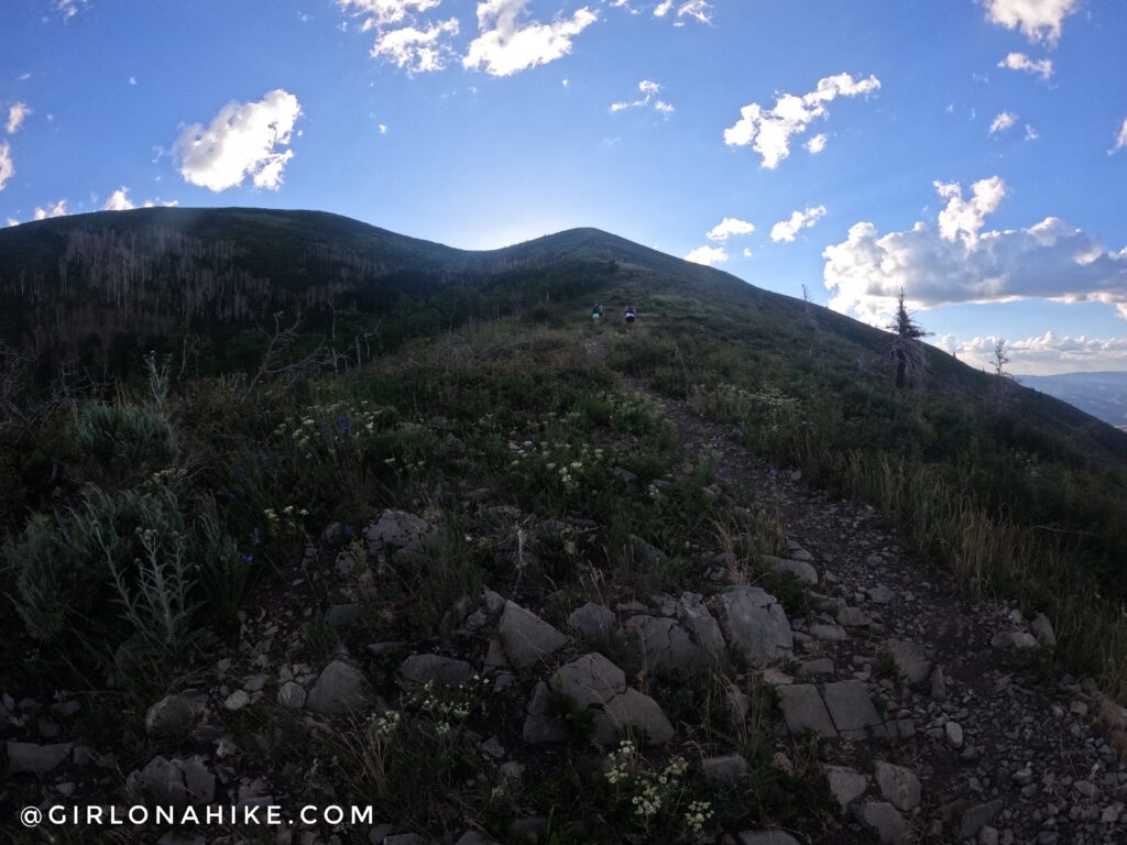
Finally on the first saddle, with Mt.Timpanogos and Provo Peak in the distance.
Once on the saddle, continue right, up to the next ridgeline.
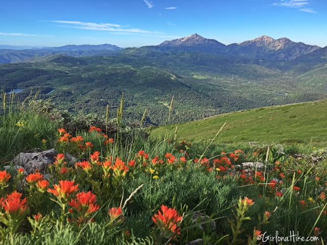
This is one of my favorite photos from the hike. The Indian Paintbrush flowers with Mt. Nebo in the distance was so pretty! You can also see Payson Lakes from the ridge.
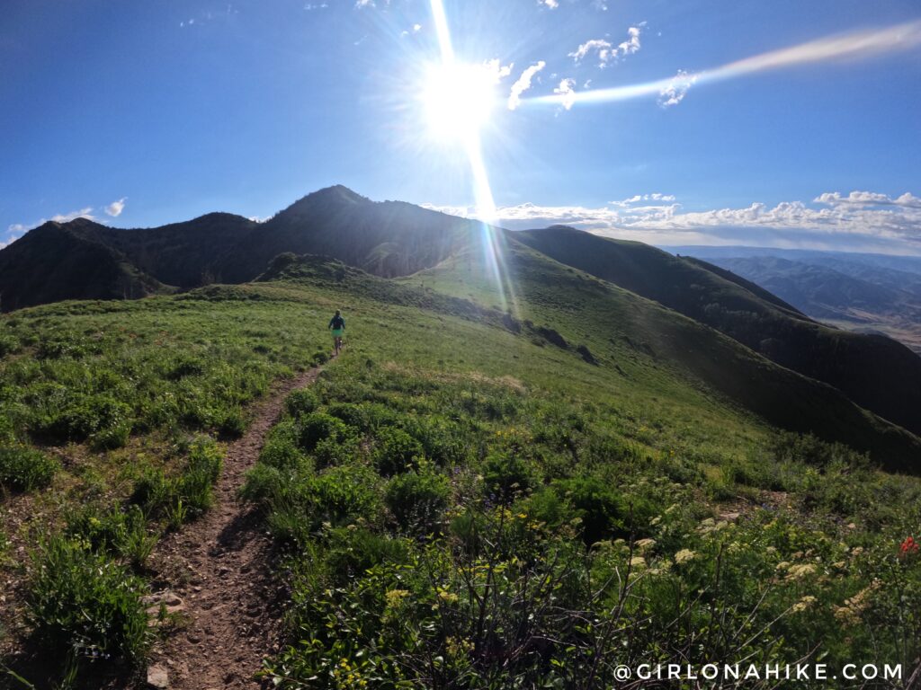
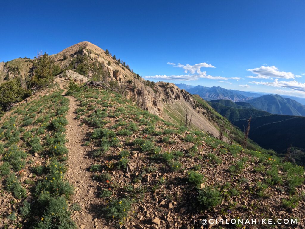
Walking along this ridge was pretty easy. You can clearly see Santaquin Peak now.
At the first small saddle. Keep left. That peak straight ahead is Spanish Fork Peak.
Getting closer to Santaquin Peak!
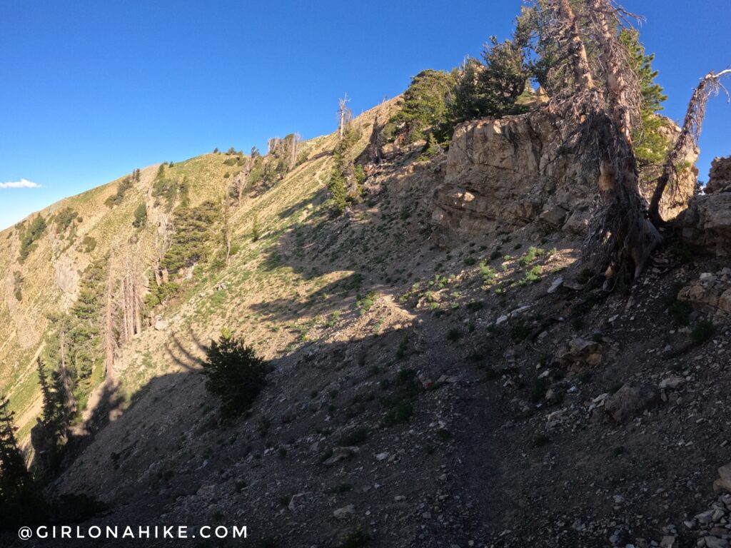
The last section of the trail is a little sketchy, as it’s a little narrower, with loose rock. Watch your footing – one wrong step and you could easily slide off to the left.
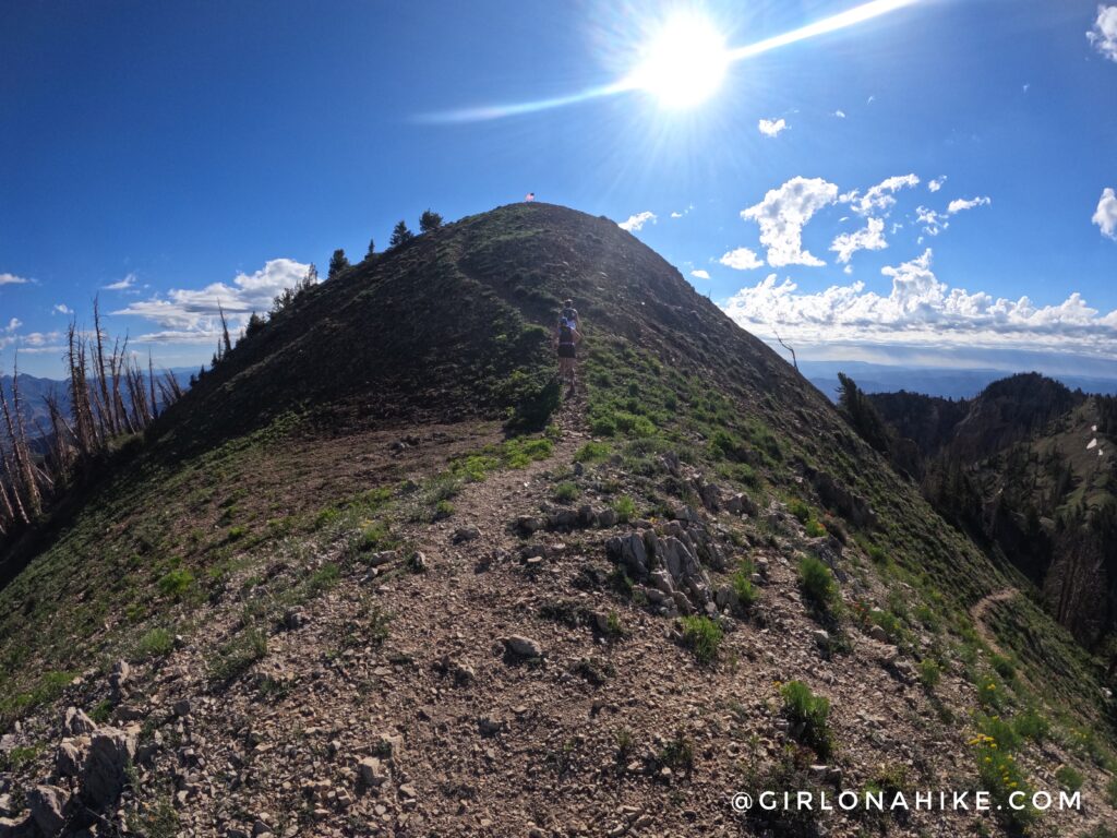
Last 50 yards!
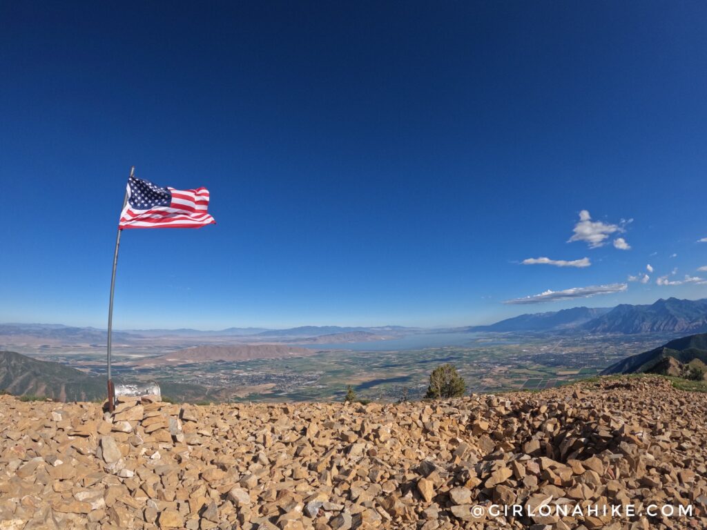
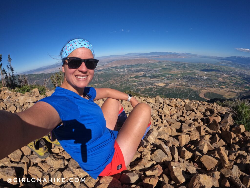
On the summit of Santaquin Peak on July 4th, looking out to Utah Lake, The mountain just south of Utah Lake is West Mountain, and is another fun hike.
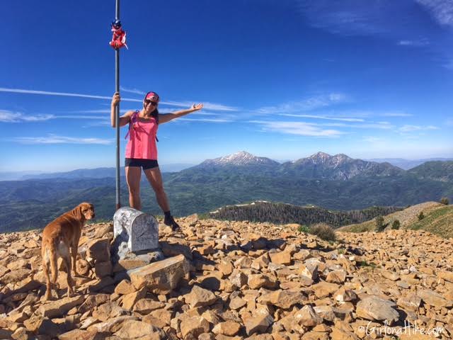
On the summit my first time with Charlie in 2015!
Second time on the peak, this time without Charlie. He’s an old guy now so he can no longer do long mileage with me.
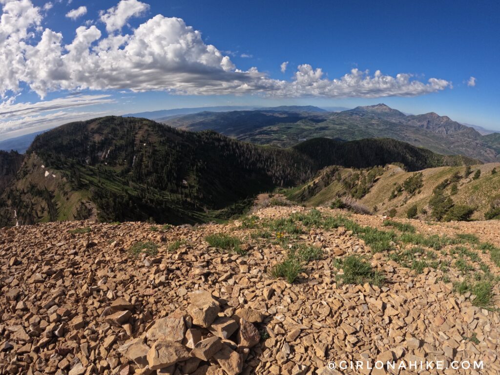
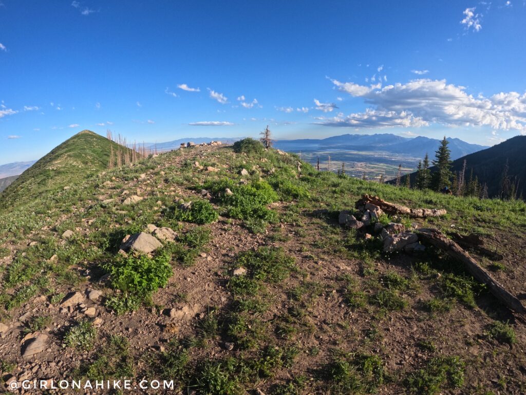
On Santaquin Peak, with Loafer Mountain to the left, looking Southwest.
Trail Map
Nearby Hike

Save me on Pinterest!