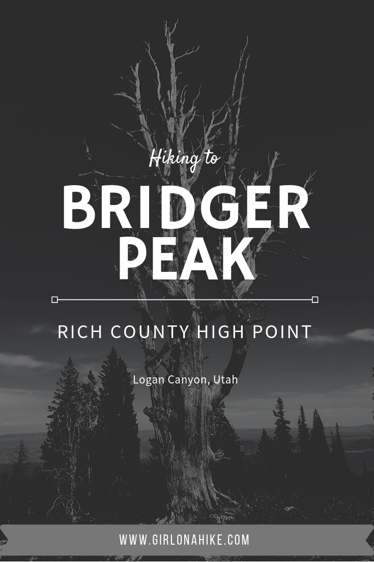
Bridger Peak (9,225 ft) is the Rich County High Point, but also the lowest in elevation of all Utah County High Points (CoHPs)! Bridger Peak was Unnamed Peak until 1999 when the Tribune ran a contest for someone to name the peak. Briger Peak won for Jim Bridger who was an early explorer of Utah and the Yellowstone area, Now Yellowstone National Park. He was a great mediator between the Native American tribes and European-American settlers, and was in excellent shape aiding him to explore the West.
About
Directions
From Logan, UT drive up Logan Canyon for 30 miles, then turn left at the signed “Swan Flat” road (FR041). The Swan Flat Road is 2.5 miles past the Beaver Creek Lodge. Reset your odometer and drive 3.4 miles along the dirt road. The trail starts on the right side of the road, marked by a worn down fence and brown post. I wouldn’t take a small car up this road, but an SUV or larger will be fine.
Here’s a driving map.
Trail Info
Distance: 1.3 miles to summit (half is off trail)
Elevation gain: 918 ft
Time: 1 hour
Dog friendly? Yes, off leash
Kid friendly? No, due to steepness and off-trail hiking
Fees/Permits? None
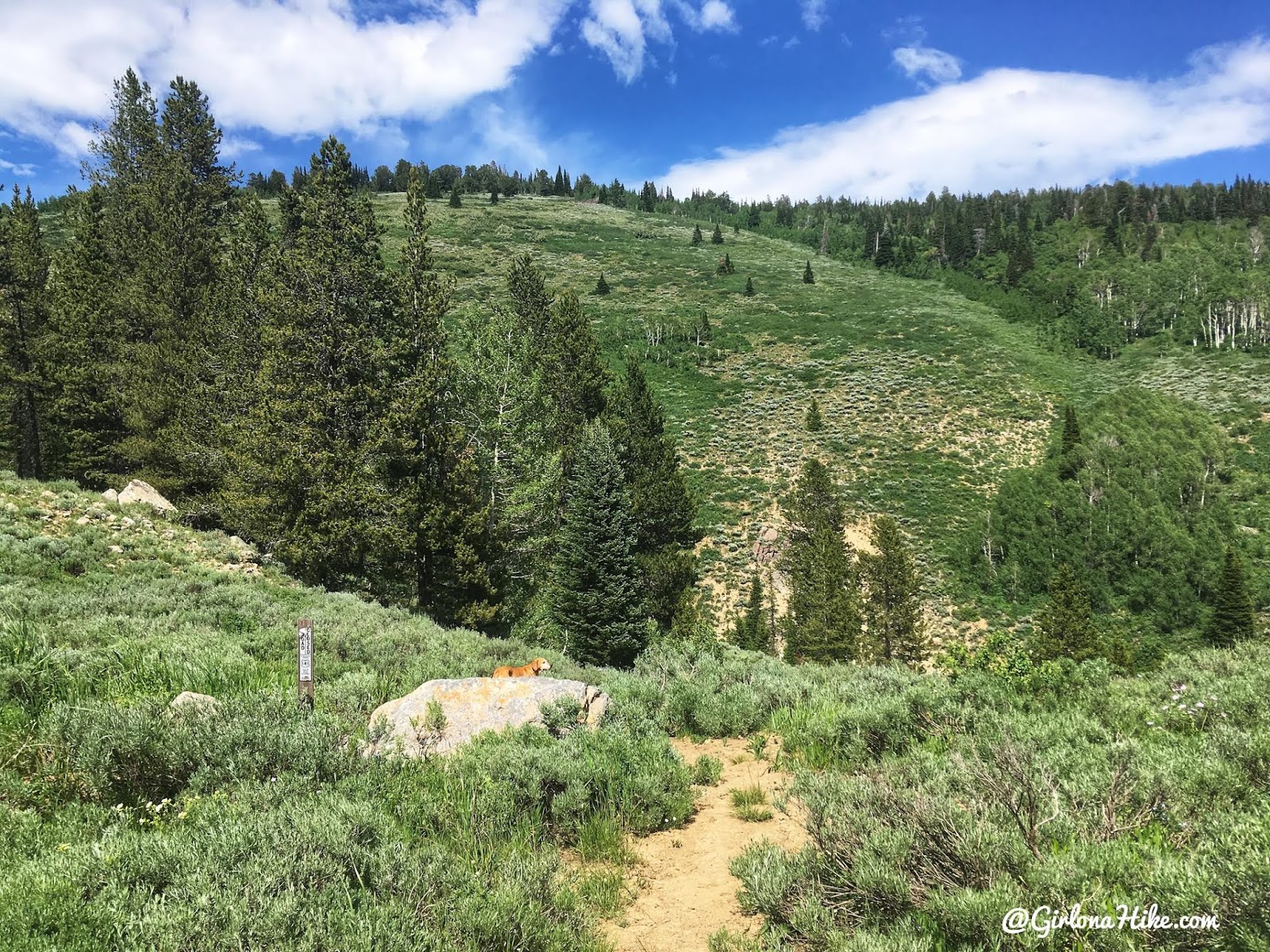
Start by following the trail by the boulder. You can also see a brown post from here.
Drop down to the bottom of the small gully, then back up again.
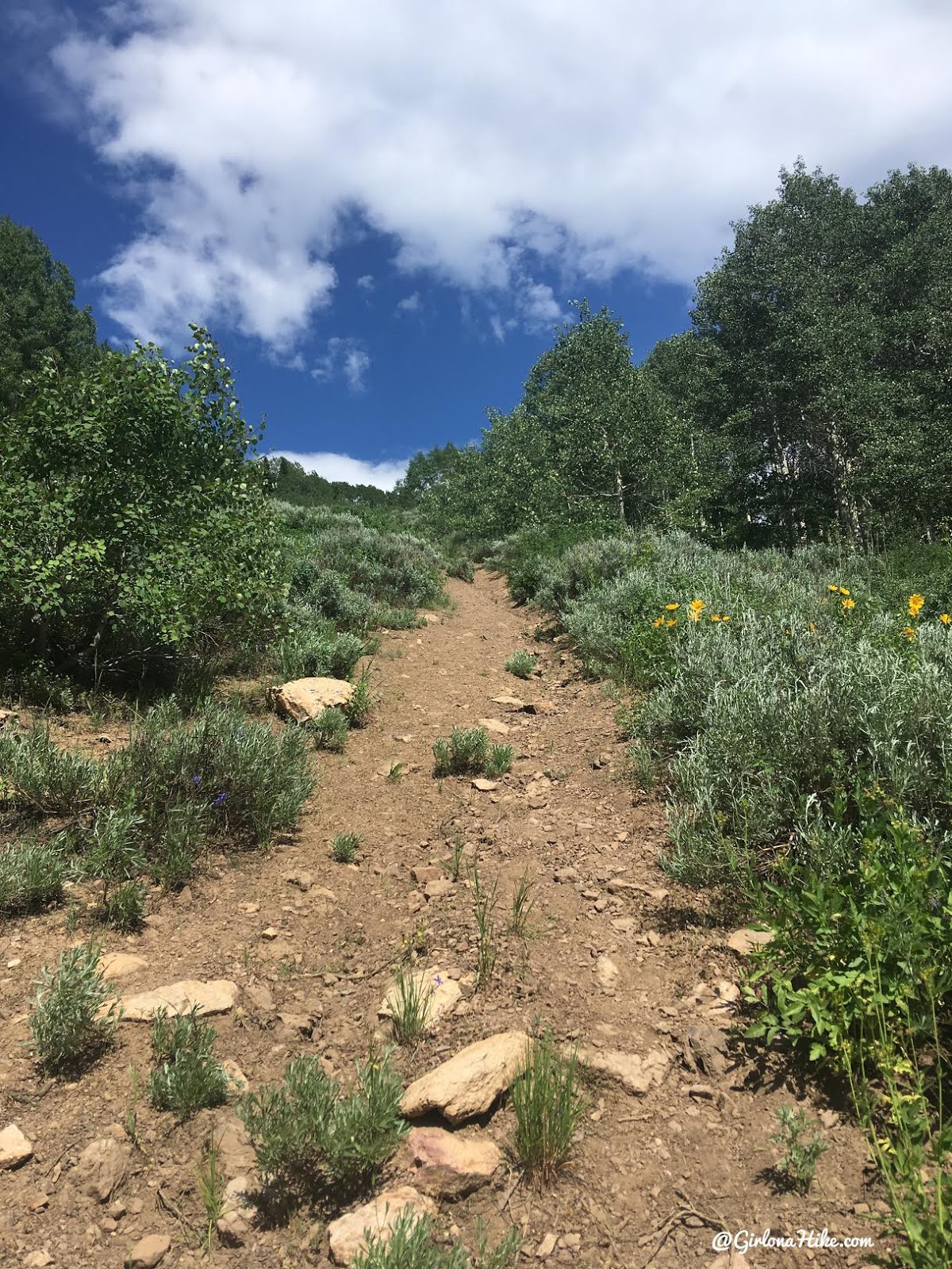
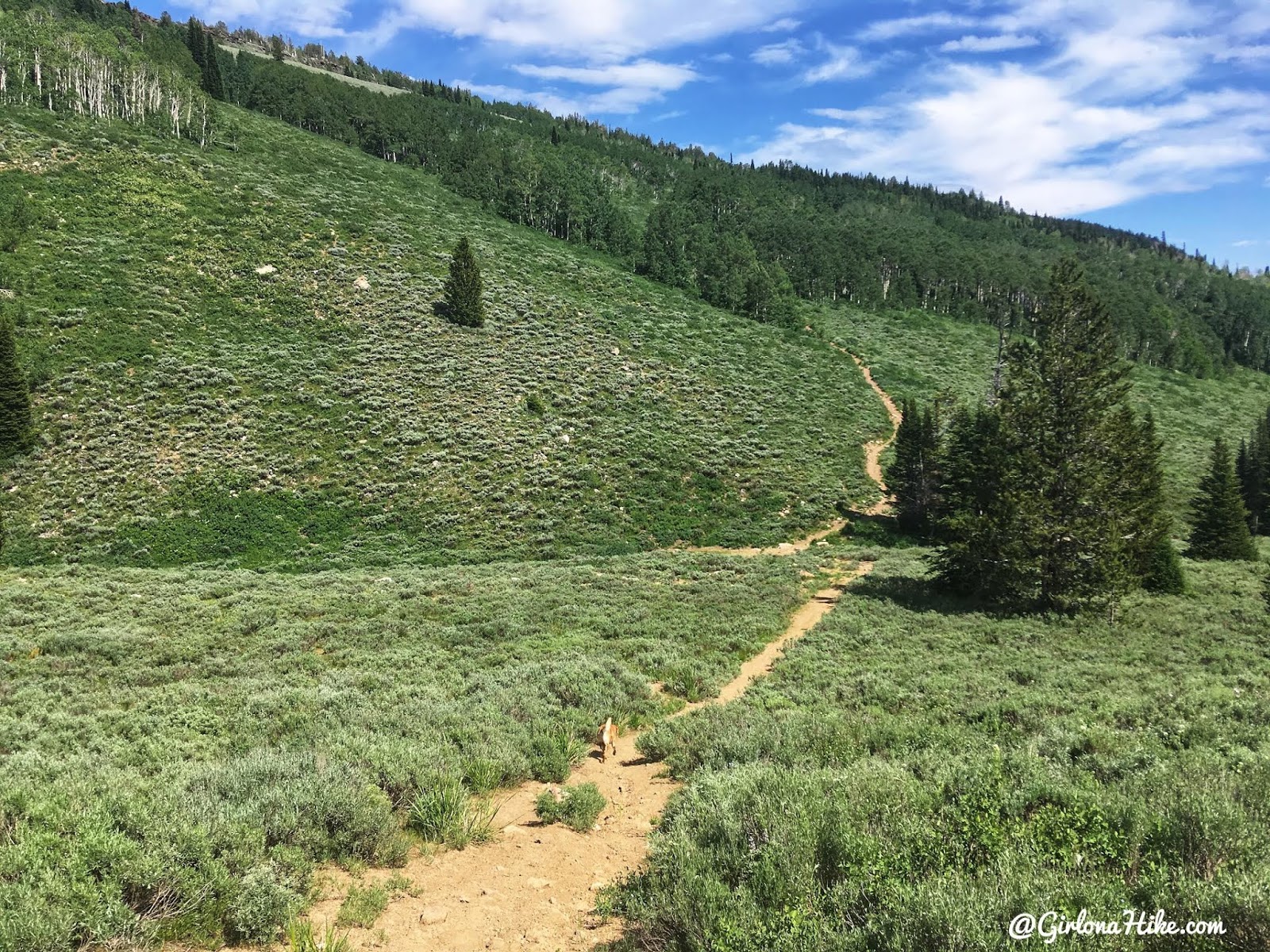
Supposedly this is an old ATV/Jeep road, but doesn’t seem wide enough for either. It gets really steep for the next 1/2 mile.
Eventually the views open up and you’ll now be hiking south.
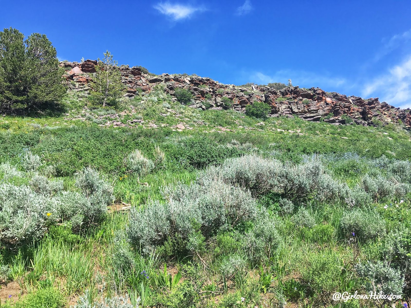
At 0.7 miles the trail opens up and you’ll see the rocks on your left. From here, leave the trail and pick what looks like a good route to you to get to the top of the rock band.
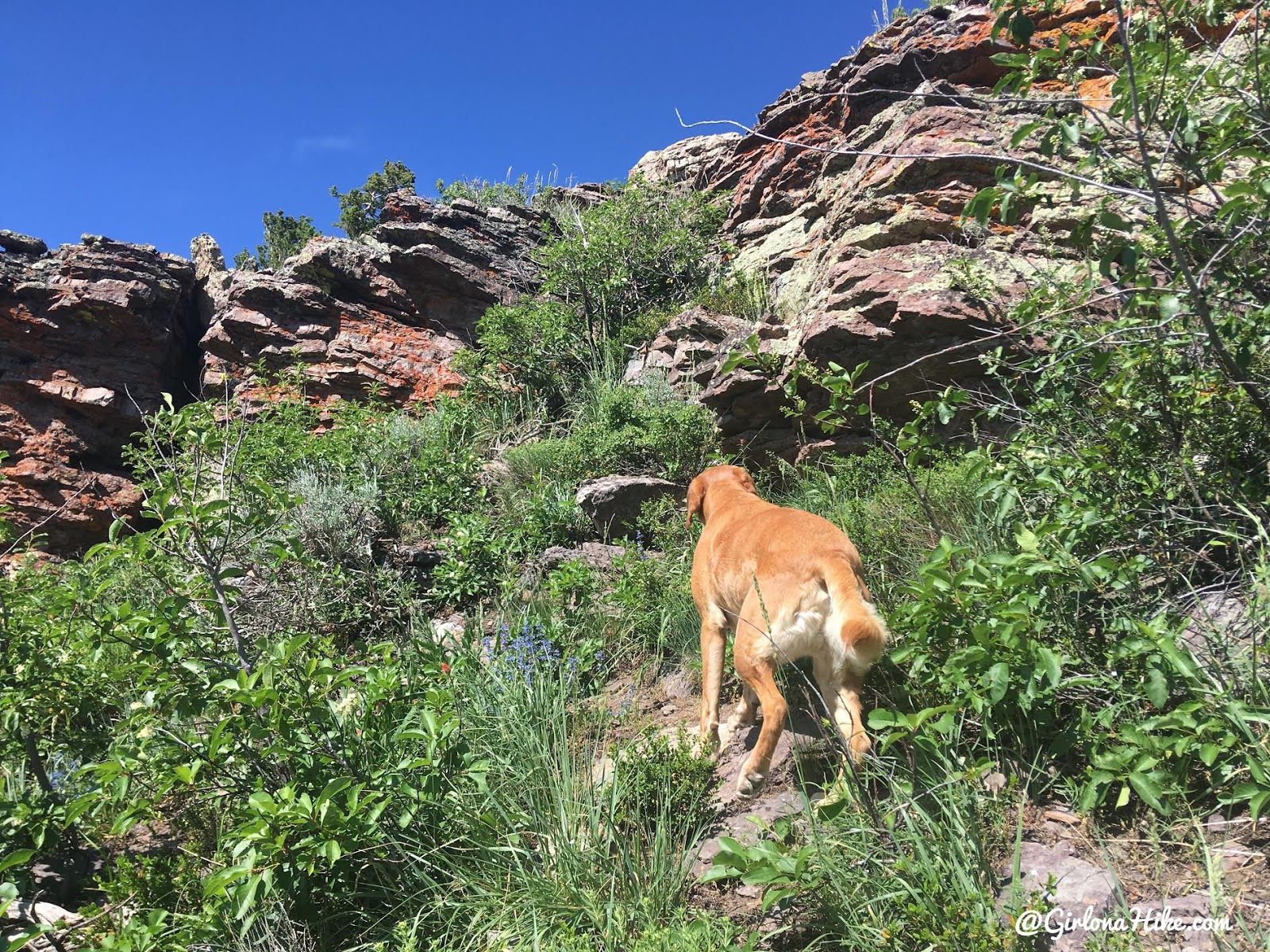
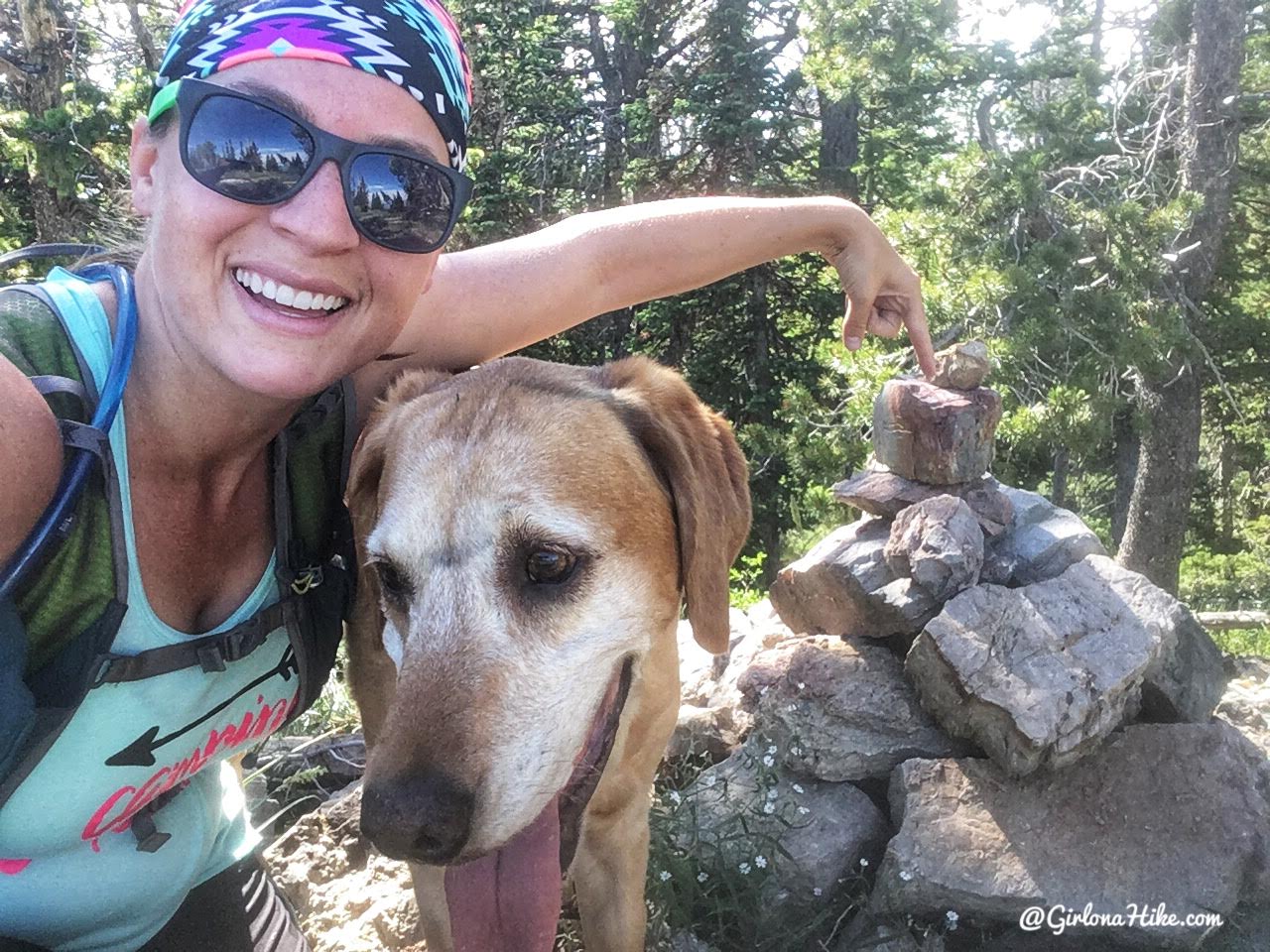
Charlie leads the way. He needed one boost through these rocks, but otherwise was good on his own.
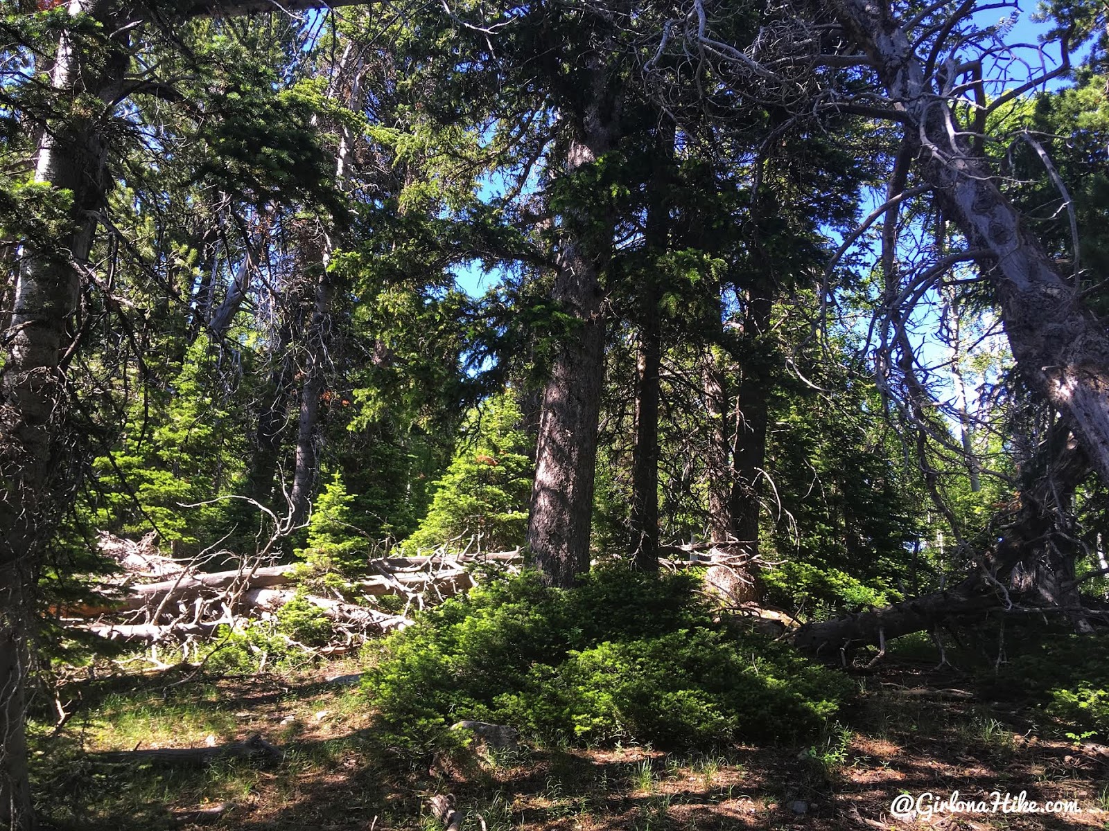
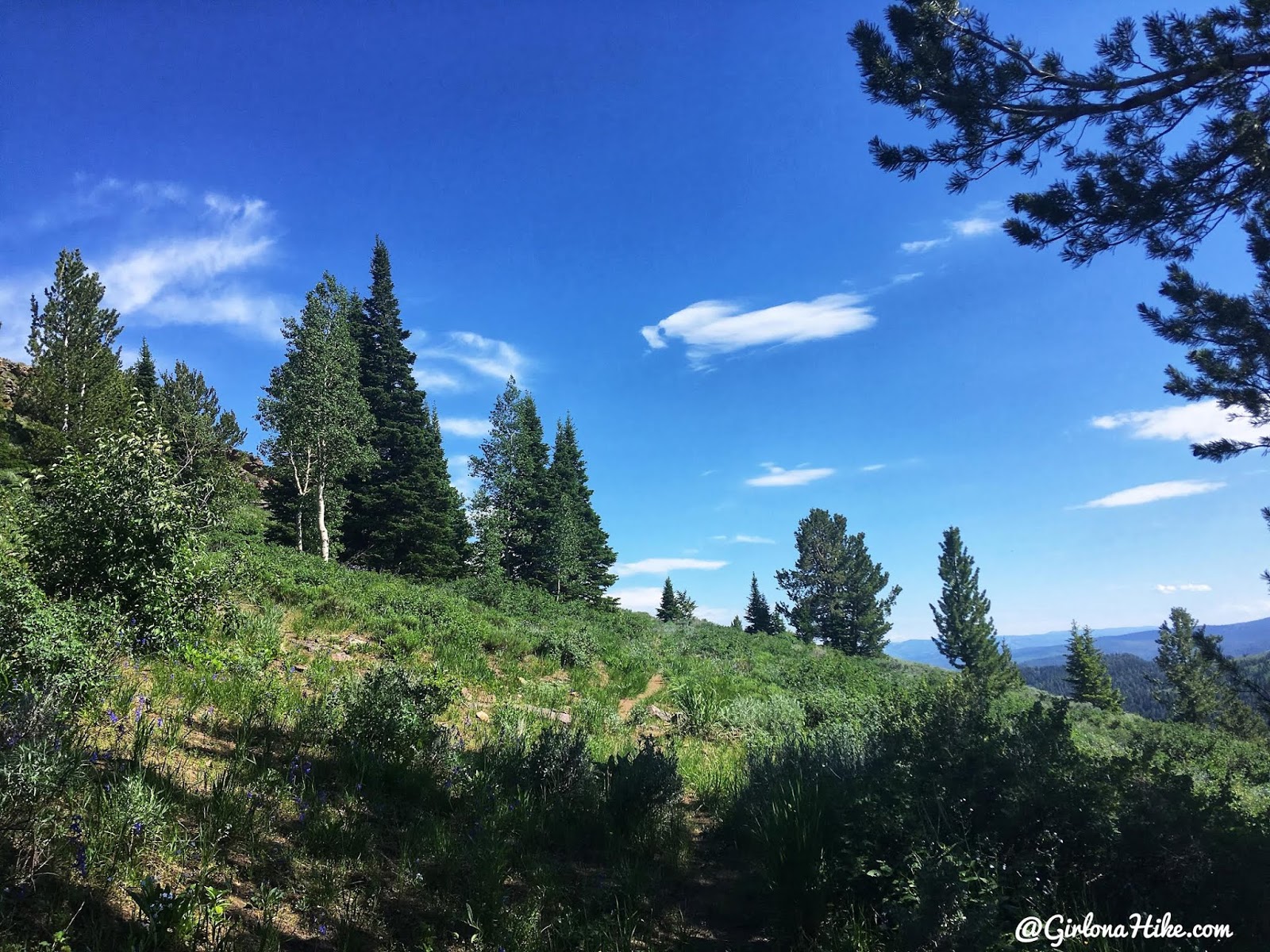
What the next 1/4 mile looks like – hiking through the forest. Again, pick a route that looks good aiming for the next small ridge on your GPS.
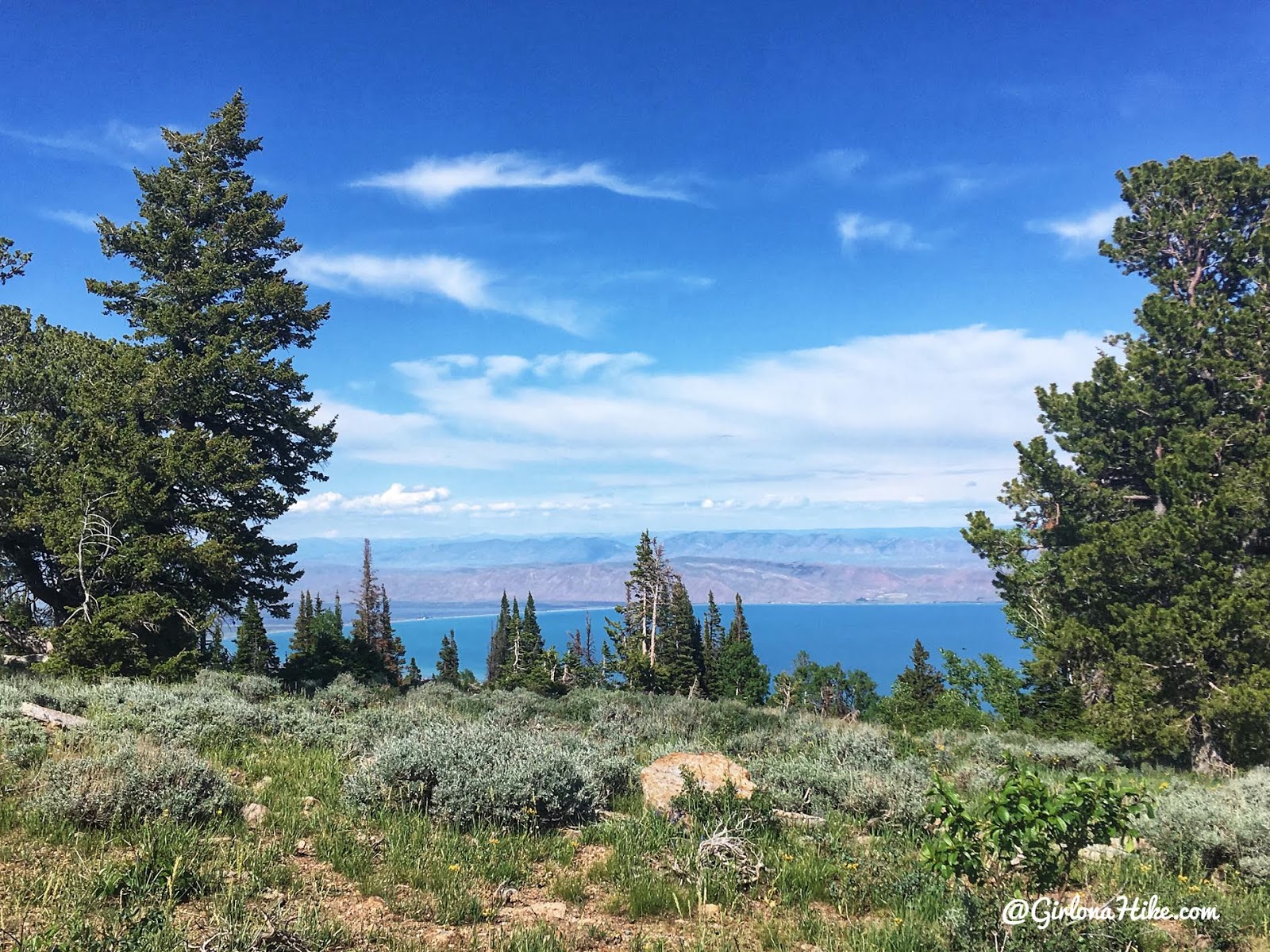
When you reach the ridge you should now be able to see Bear Lake to the East! Continue following the ridge left (North).
Keep going…the hiking along the ridge is really easy. There almost seemed to be a faint path left by all the previous peak baggers working on the CoHPs.
And we made it! 45 minutes to the summit. Not bad, since we had already hike 11 miles earlier that morning up Bull Mountain (Box Elder CoHP) and it was about 80F at 4pm! This trail was pretty uneventful and boring but we had to check it off our list! I couldn’t find a summit register.
That black line in between Charlie’s eyes and on top of his head are because he decided to stick his head into a fire pit grate and eat charcoal after finishing Bull Mountain haha!
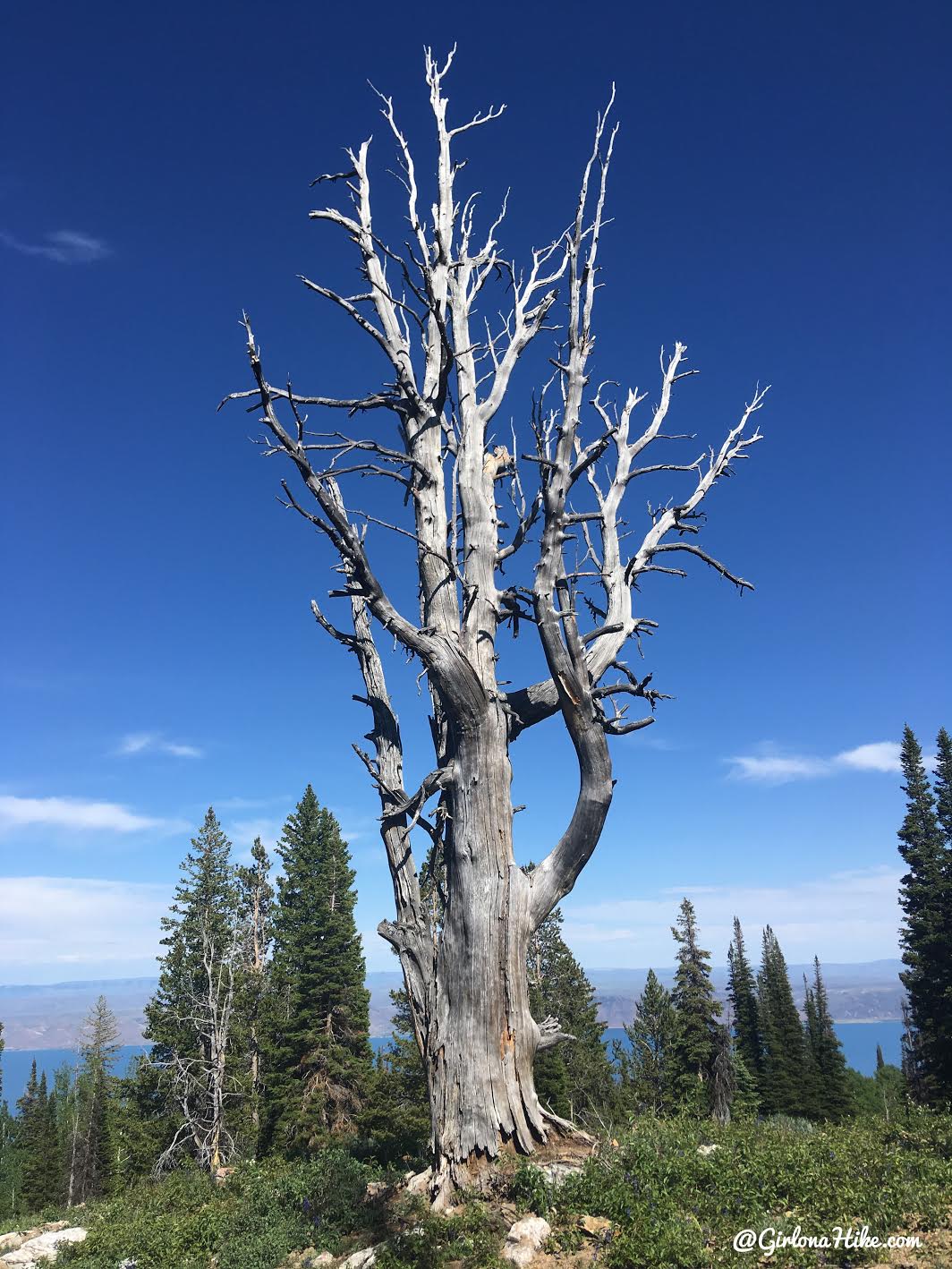
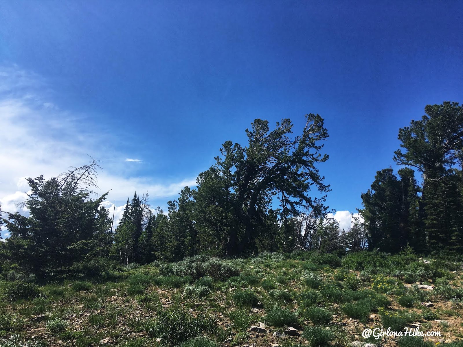
An old, dead juniper tree near the summit.
Even though you only hike off trail for 0.6 miles, I highly recommended carrying a GPS or using Gaia GPS (what I’ve used for years) on your phone. On the way back everything looked the same, so I had to keep looking at it to get me back to where I initially left the trail.
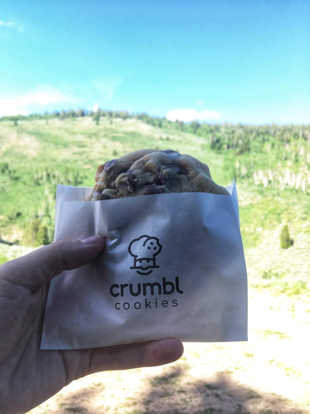
My reward for bagging two CoHPs! A giant chocolate chip cookie from Crumbl in Logan!
Trail Map
My track via Gaia GPS – the best tracking app! Get your app here for a discount.
Recommended Gear
Nearby Hike
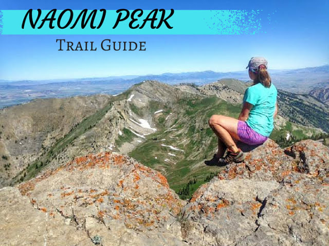
Hiking to Naomi Peak, Logan Canyon

Save me on Pinterest!