About
There are three ways to reach Bull Mountain
1) Drive up the 4×4 dirt road
2) Lake Fork Trail
3) Bull Flat Trail
Charlie and I combined hiking Bull Mountain with Bridger Peak (the Rich CoHP) on the same day. After Bull Mtn, we drove about 2.5 hours over to complete this one as well, then drove home after. It was a lot of driving but I knocked out two in a day!
Directions
From SLC drive north on I-15 and take exit 5 for Snowville, UT. Head West on UT-30, then veer right for UT-42. As your drive into Idaho, this road is now ID-81. Turn left on E Naf Rd and drive 3.2 miles. Turn Left on S Clear Creek Road (you’ll now see brown signs) and drive for 2 miles, then right on Clear Creek Road again. Continue following this as the road ends at the Clear Creek Campground.
Here is a driving map.
Trail Info
Distance: 11 miles RT
Elevation gain: 3,587 ft
Time: 5-7 hours
Dog friendly? Yes, off leash
Kid friendly? No
Fees/Permits? None
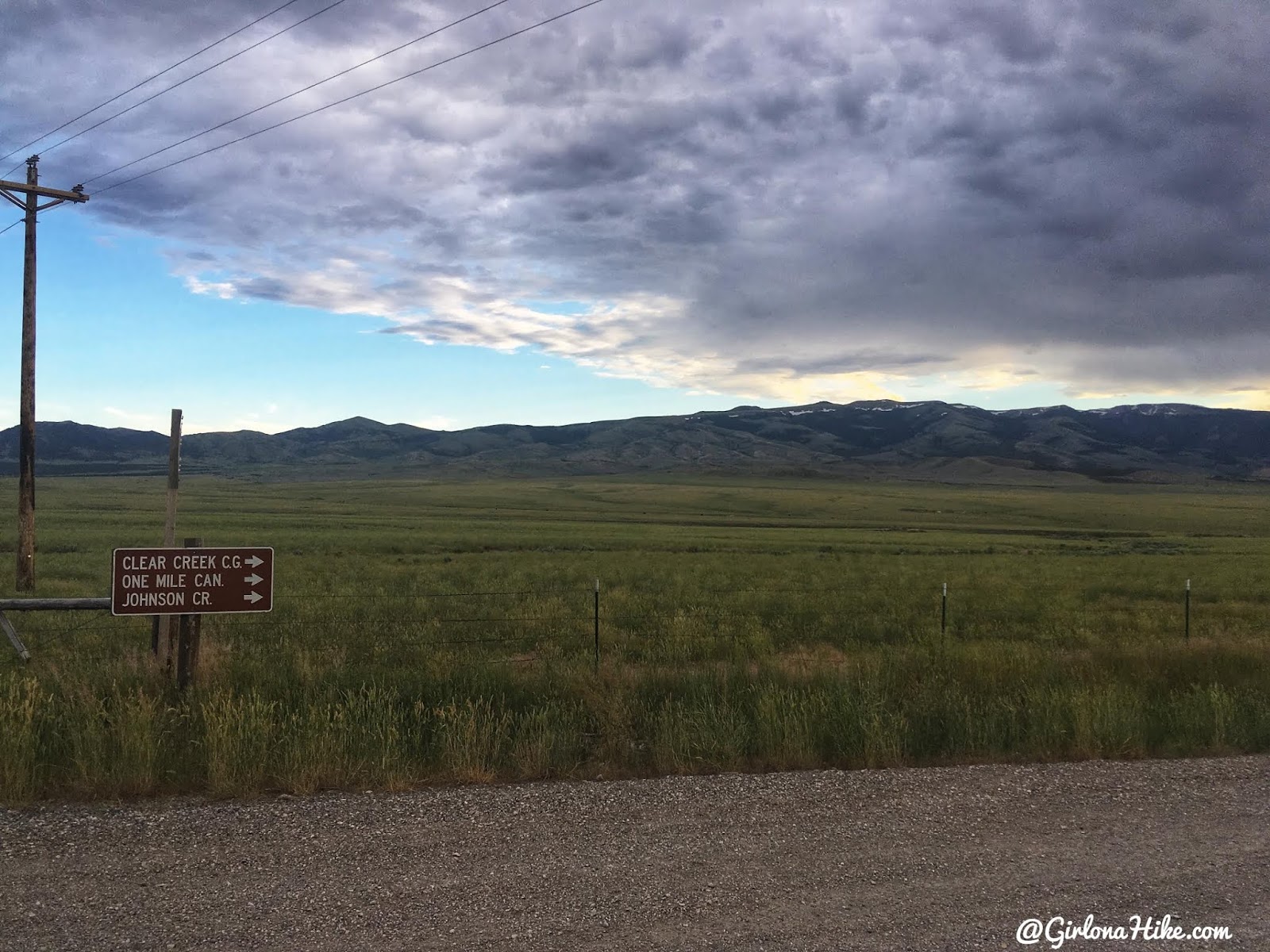
As you turn left on E Naf Road, the brown sign is on the left (south) side of the road and not visible until you make the turn,.
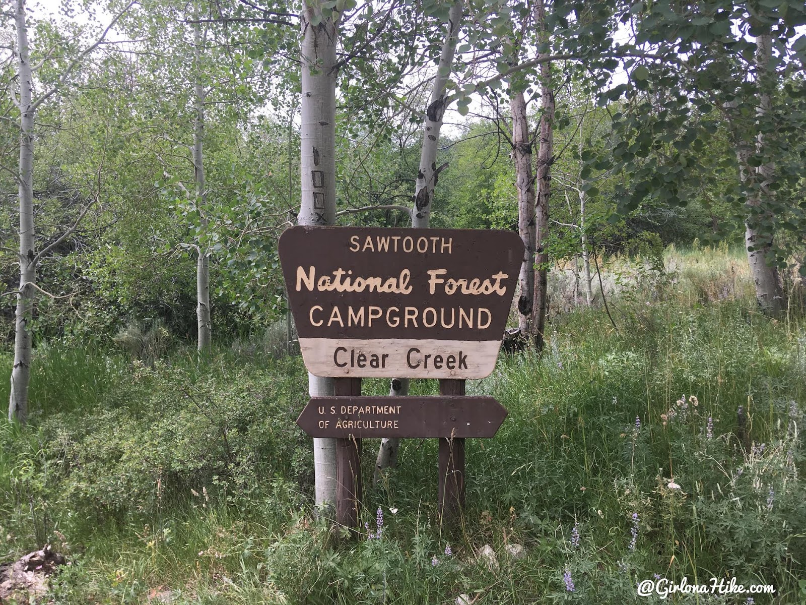
Follow the signs for Clear Creek and you’ll arrive at the CG.
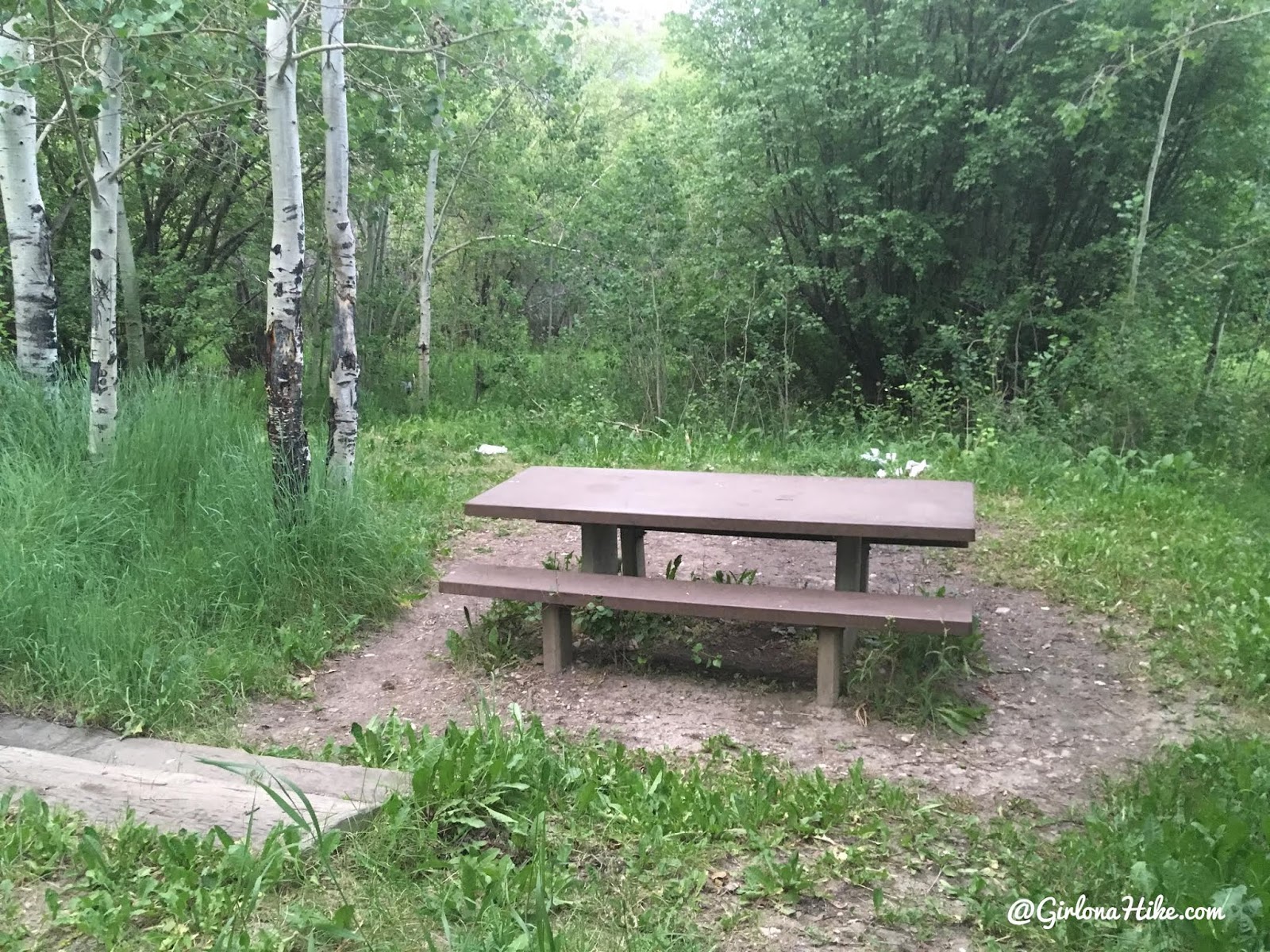
I arrived around 8:30pm on a Friday night and got the very last campsite. See the white trash behind the table? Yeah….somebody decided to poop and wipe, then leave their TP right there laying out. I picked it up using one of Charlie’s poop bags. Gross! There’s literally a port-a-potty 50 feet away.
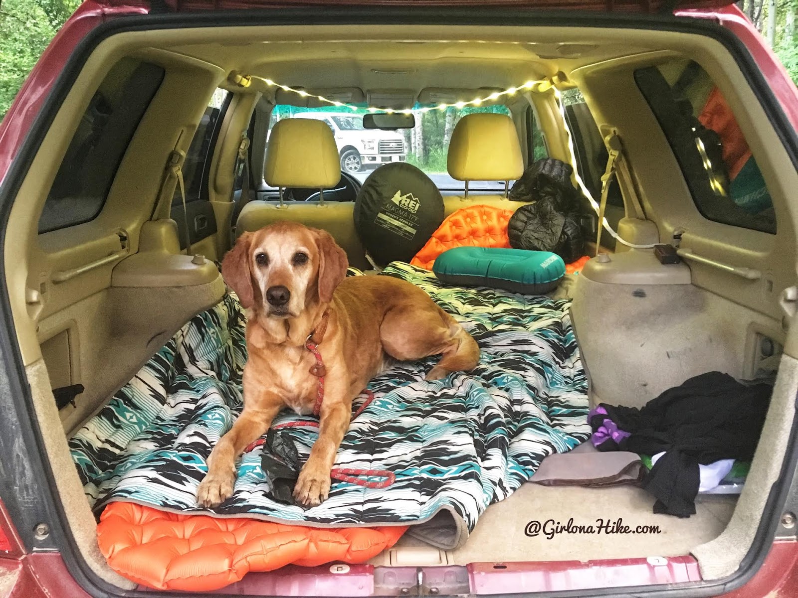
Our cozy setup for the night! I may not have a cool loft, drawers, or anything else fancy but this works perfect for us. Charlie and I fit just right with the back hatch closed. When my partner comes along, Charlie sleeps in the front passenger seat and we sleep in the back with the hatch open.
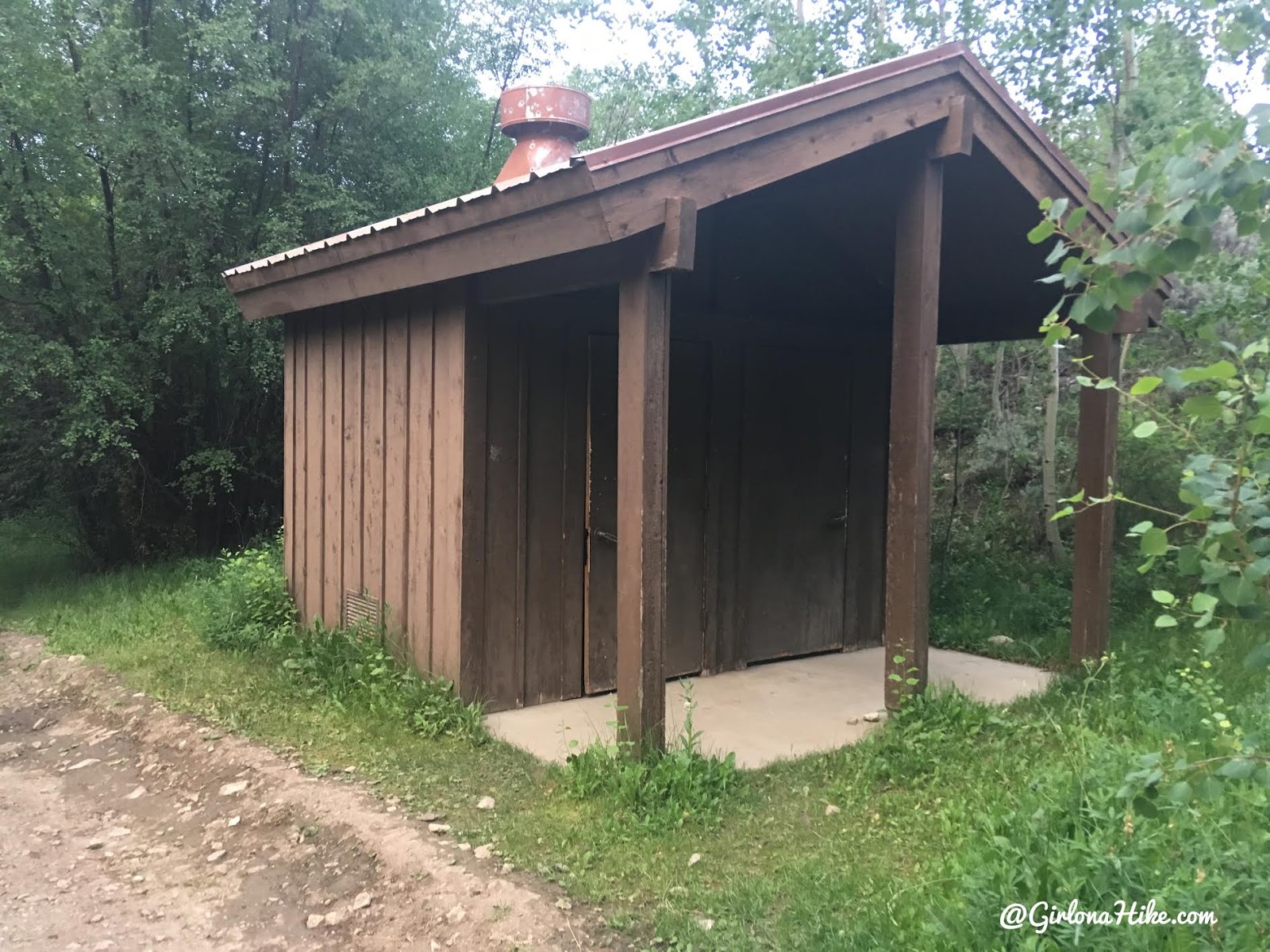
The port-a-potty. It looks pretty run down on the outside, but inside was actually clean.
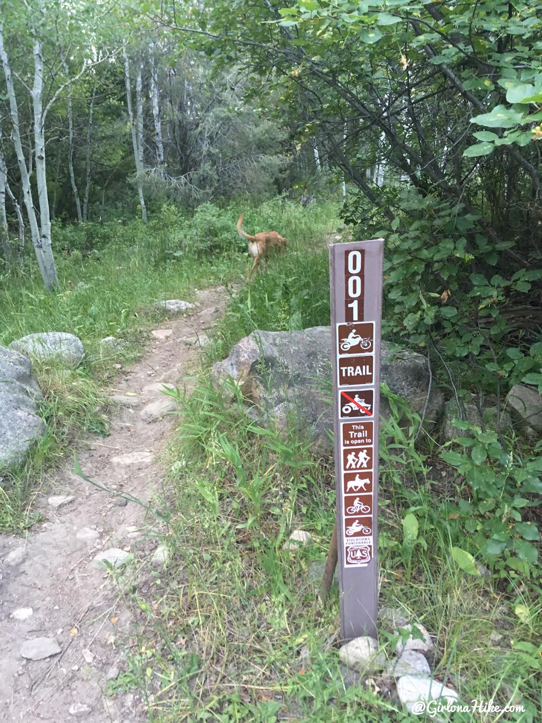
The trail begins in the CG, just before the end of the road on the South side (right).
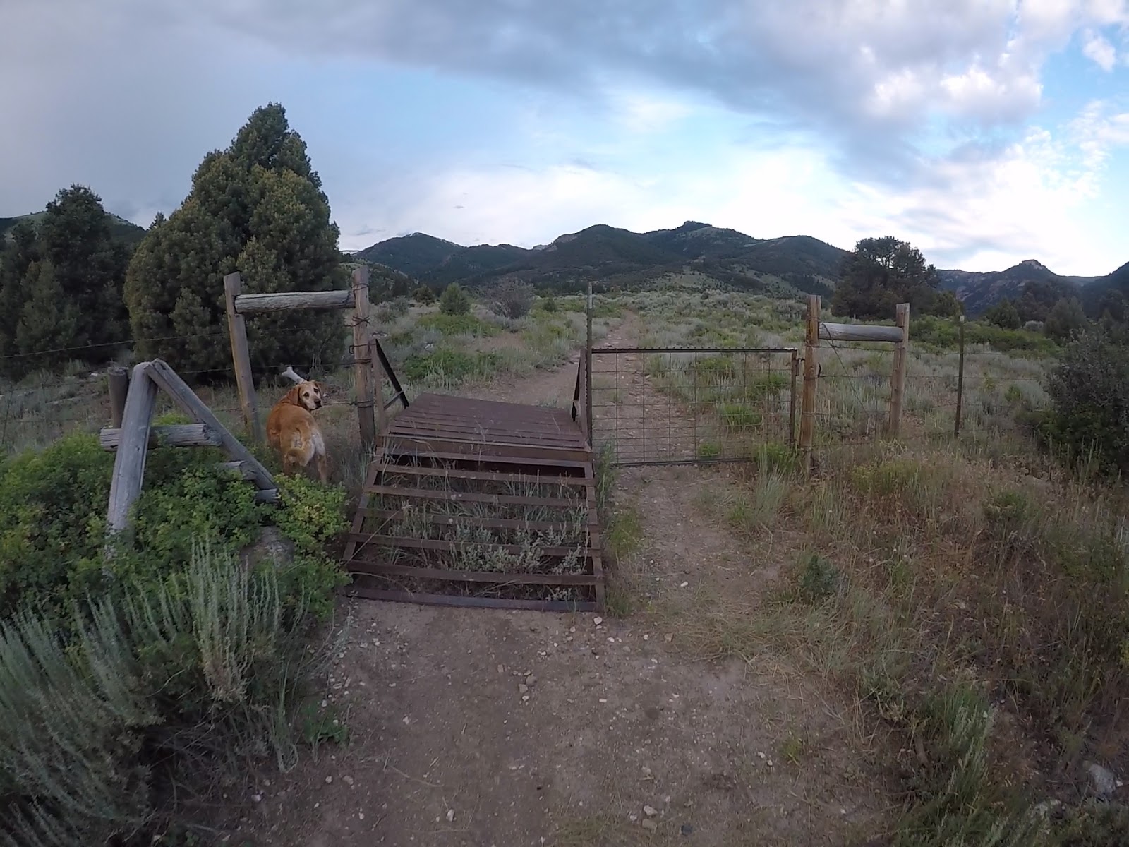
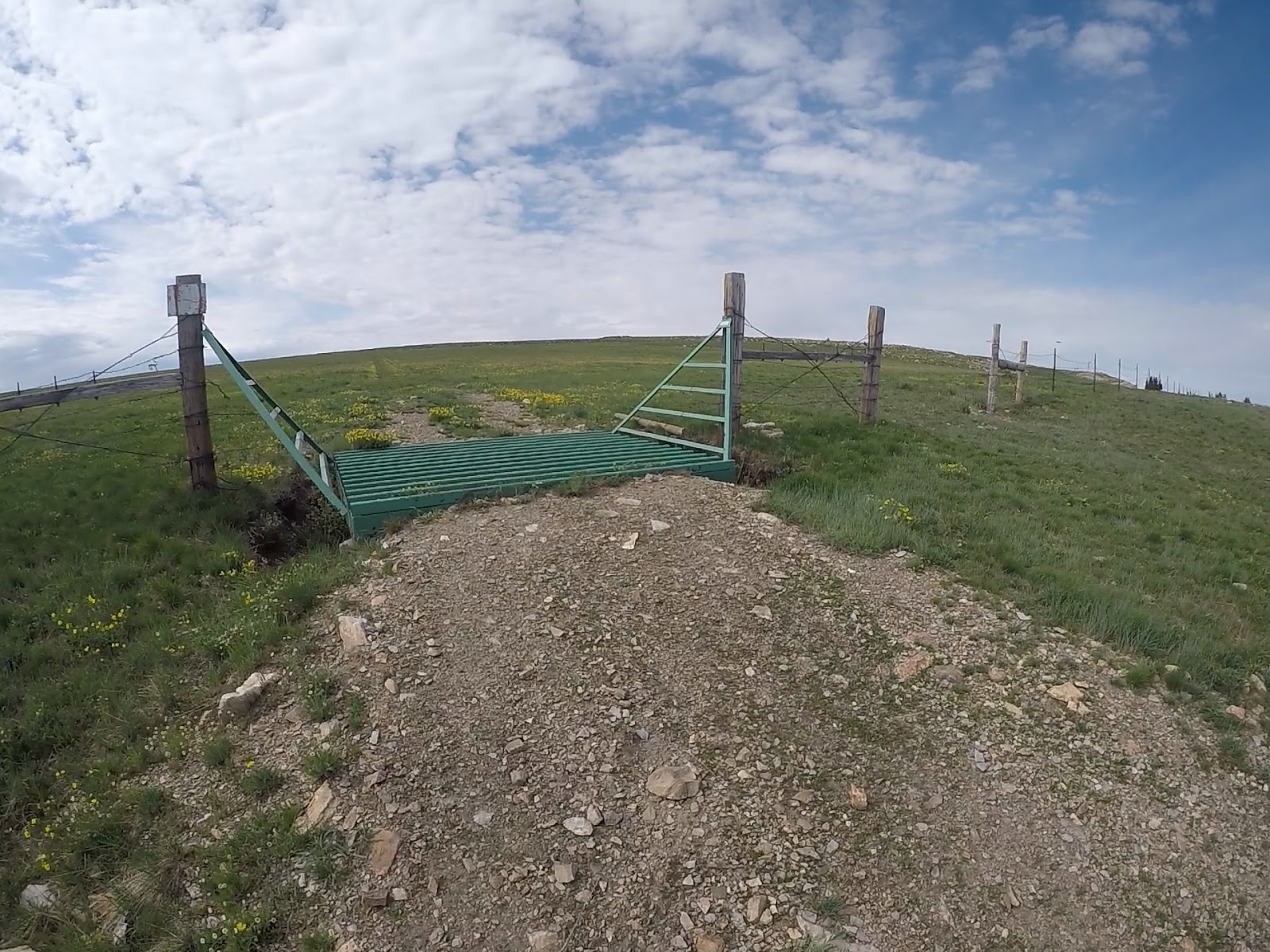
You’ll quickly cut through a gate.
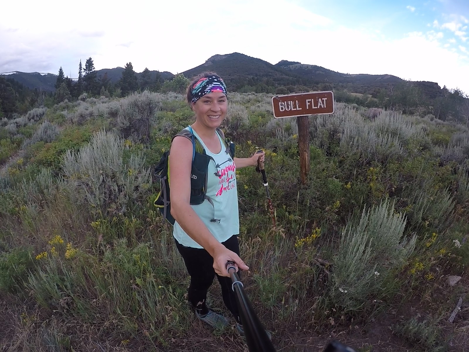
At 0.8 miles turn right for Bull Flat Trail. Going left will take you up the Lake Fork trail, which ends near the cirque.
Cross a small creek, then start working uphill.
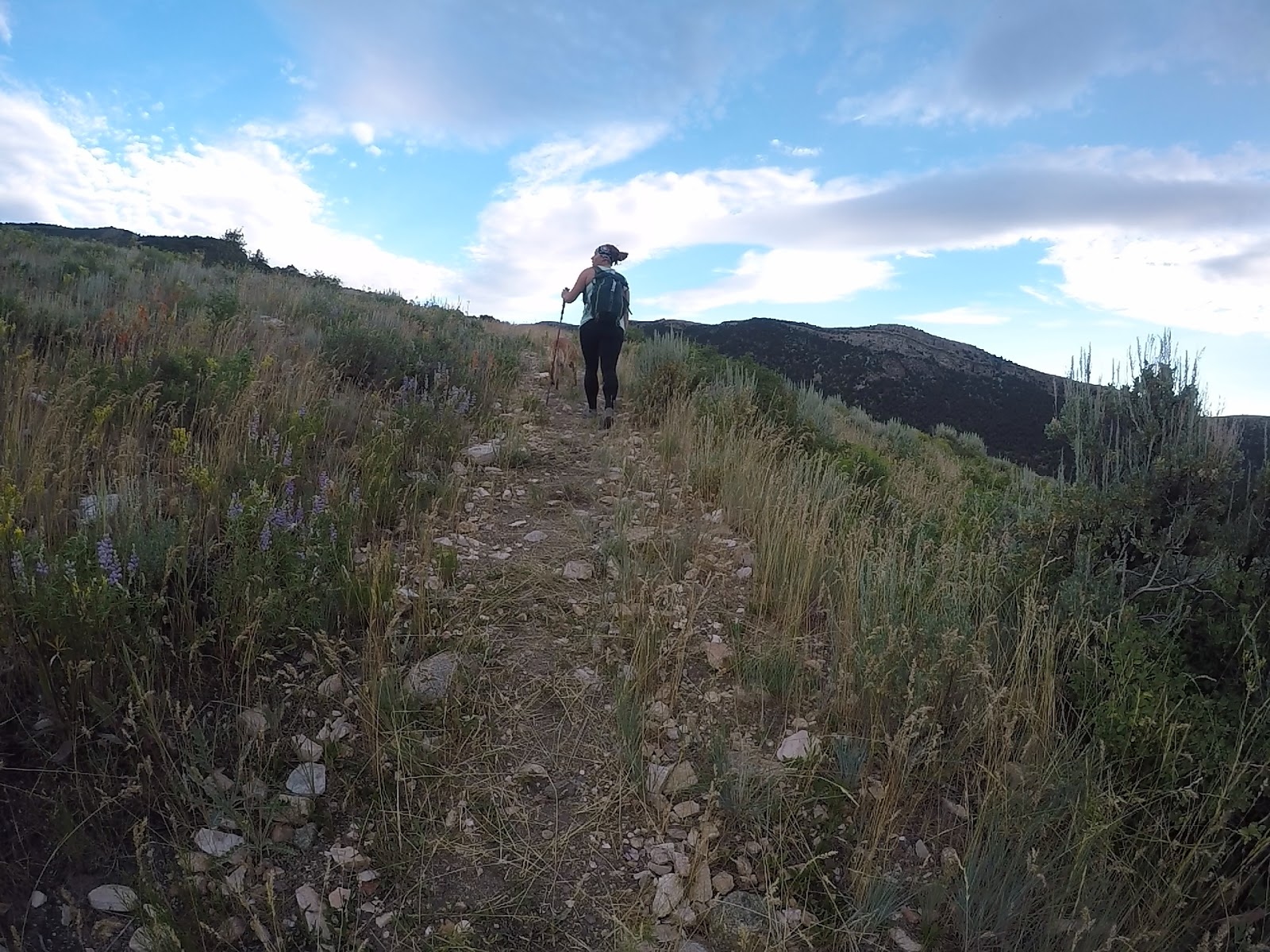
You’ll hike though desert-like terrain, and a few small switchbacks. It’s consistently steep. There’s a few sections that are a little overgrown but not bad.
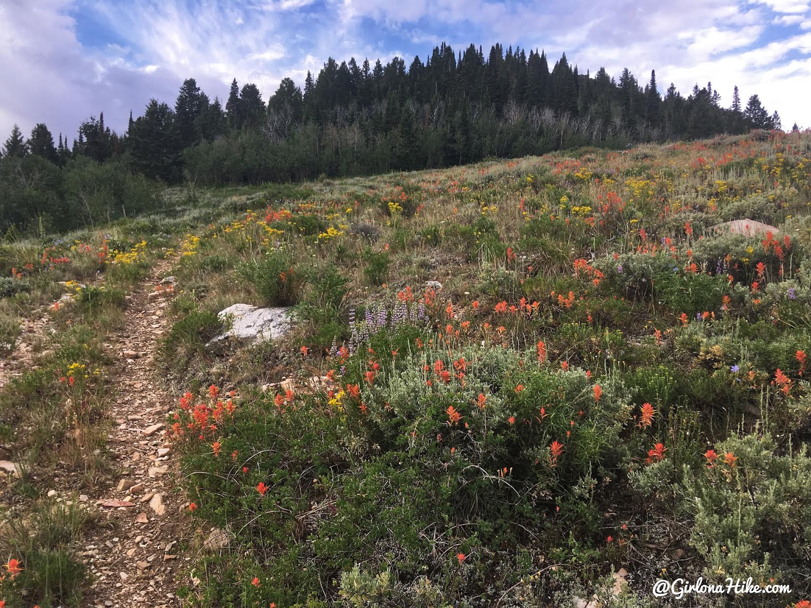
So many flowers in July! Mainly Indian Paintbrush.
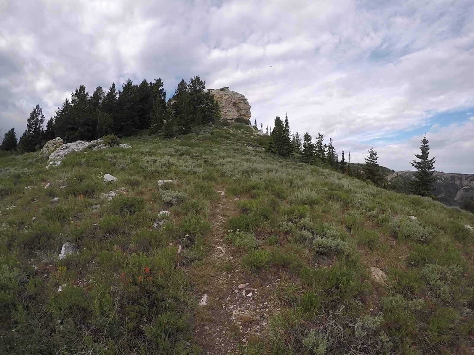
At 2.6 miles (halfway!) you’ll pass this large white rock. It looks to be a mix of sandstone/quartzite.
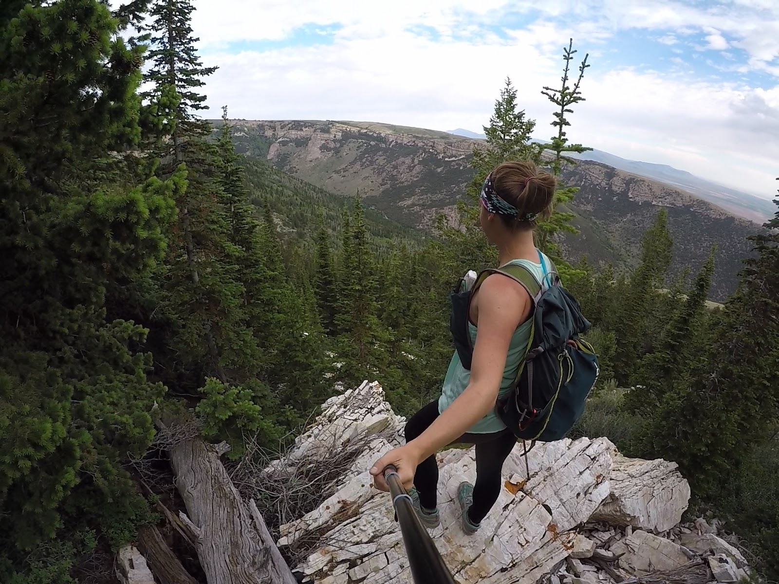
This section is really cool because you’ll get some great views to the West.
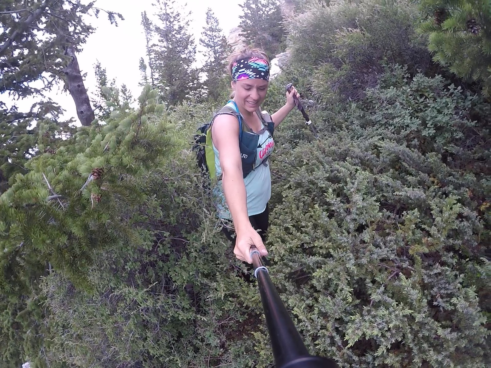
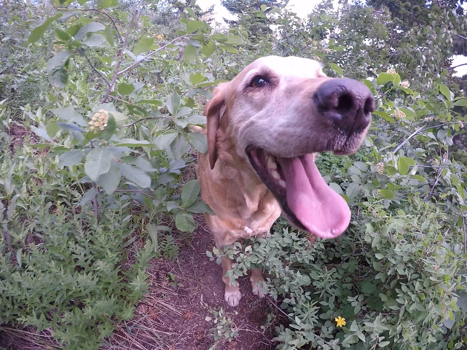
Ouch – some thicker bushwhacking now. Honestly, this was the worst of it. Not bad compared to bushwhacking I’ve had to deal with on other trails.
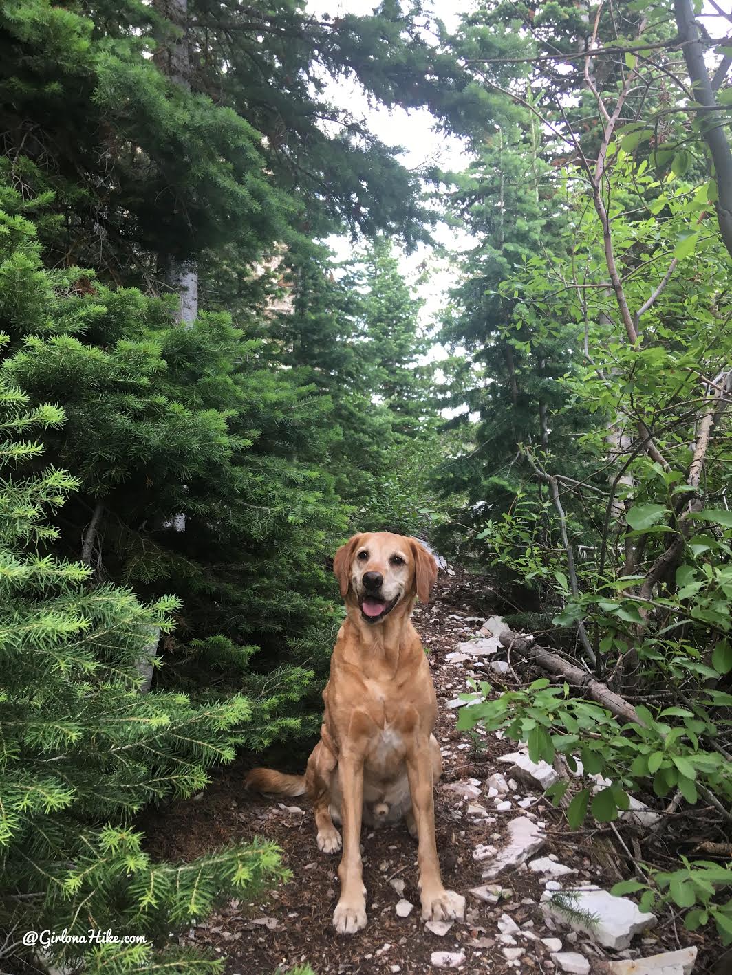
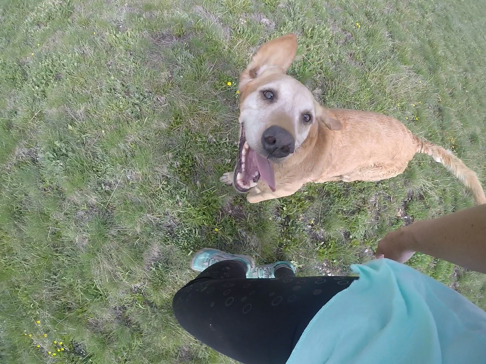
At least Charlie was loving it!
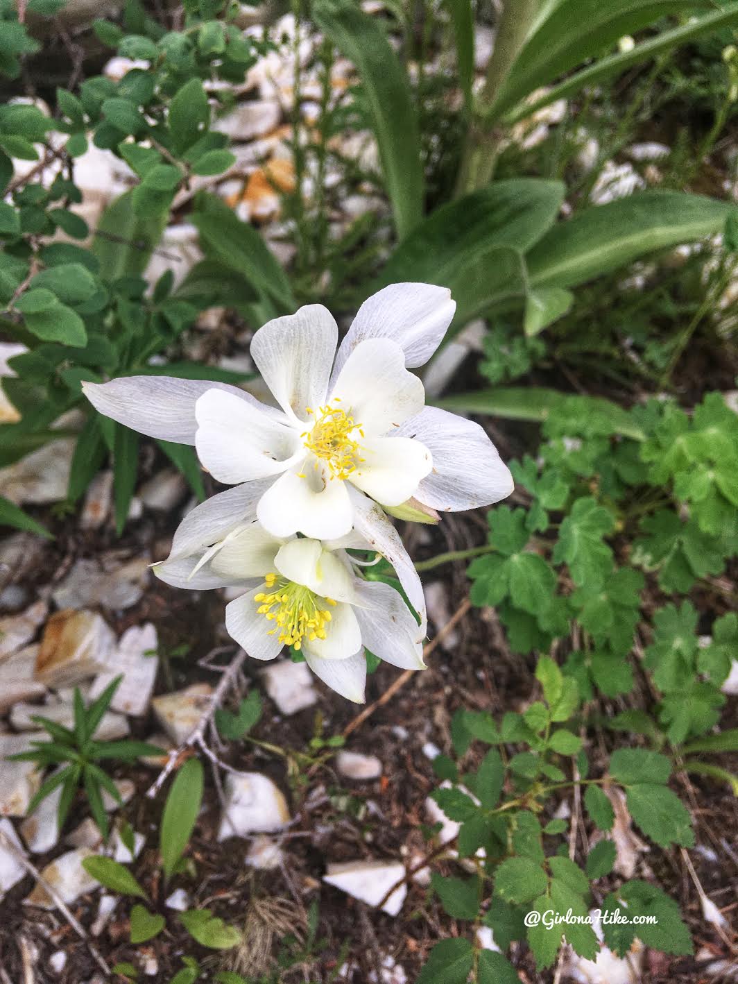
Beautiful Columbine Flowers!
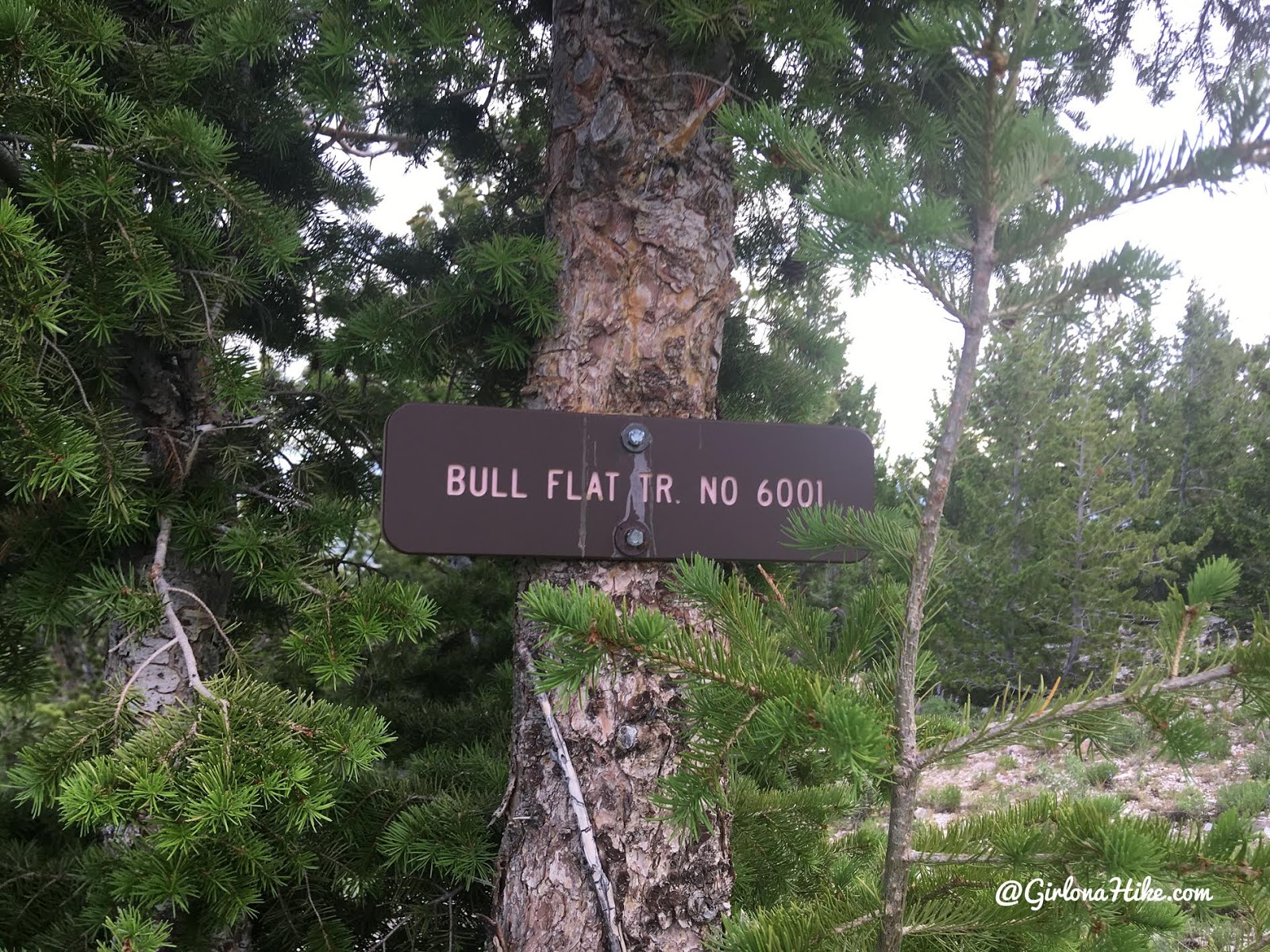
One weird thing – as I topped out on another ridge, I just happed to look right at saw a brown sign. I hiked around to the front and then saw the actual trail sign. Not sure why they would put it facing only one direction. You would definitely see it coming down, but there’s a clear trail through here.
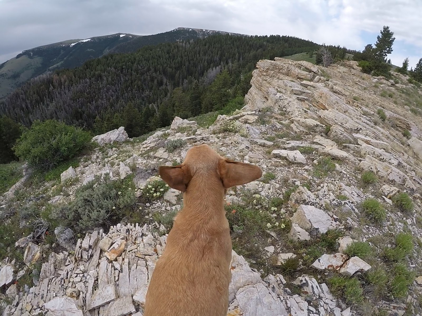
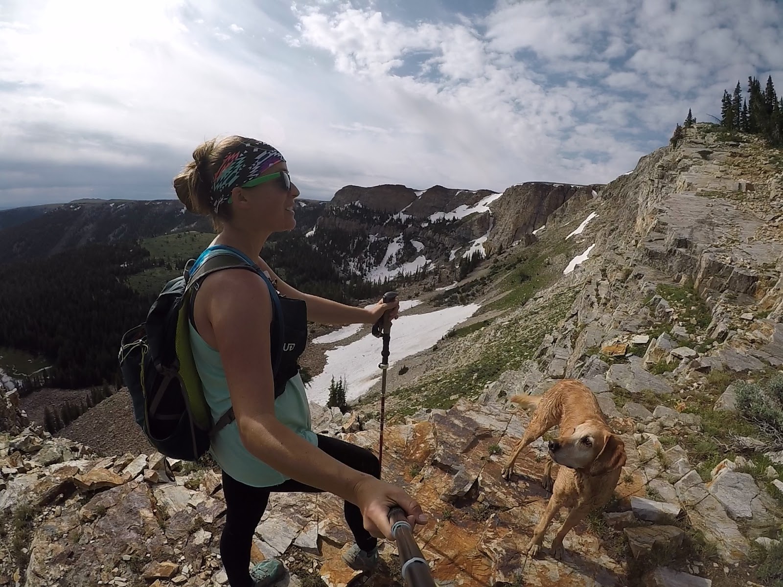
On that ridge just past the sign it was super windy!
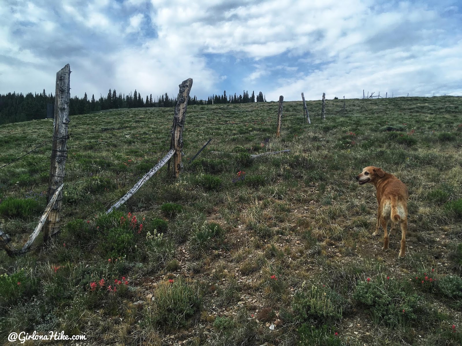
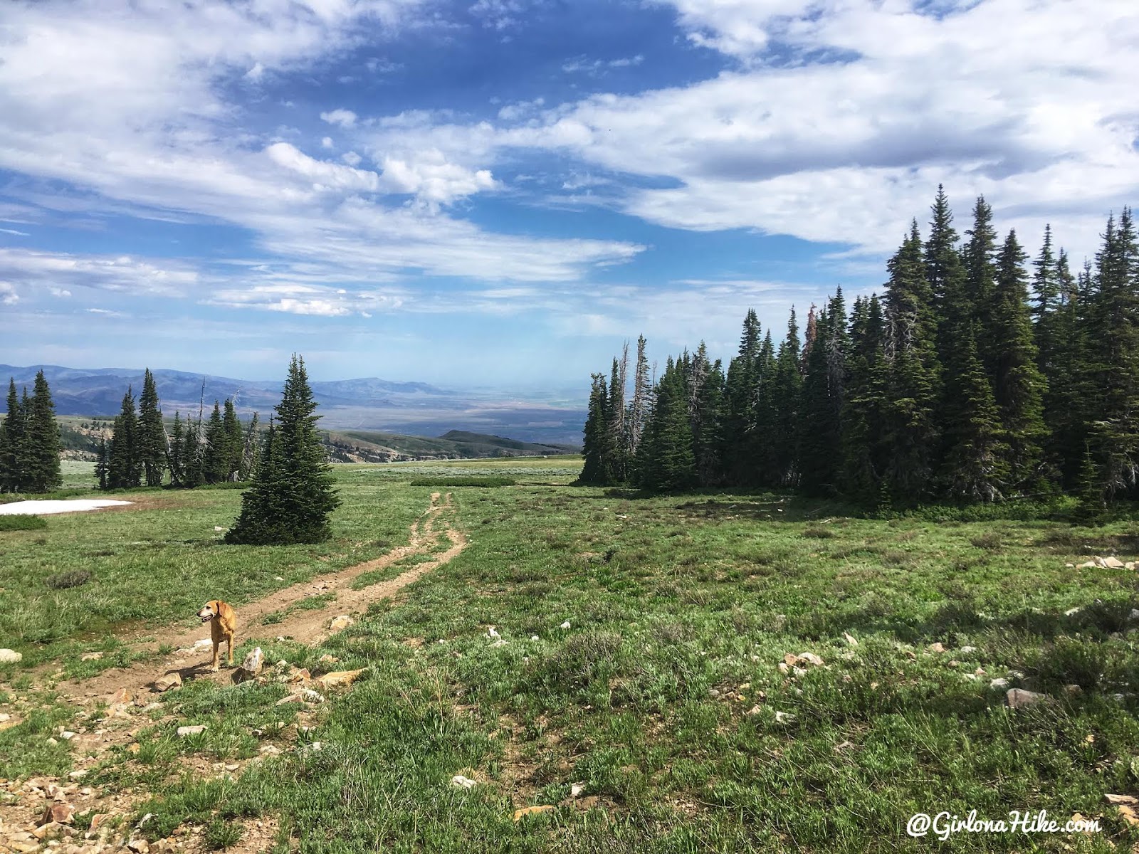
You’ll reach the private property fence. From here to the spring/pond there is NO trail. I couldn’t find one in either direction, so be prepared to hike through the sage field straight across. Make sure you have a GPS handy so you know where to aim towards the spring/pond.
I was still high on the ridge and decided to look over and to the left, and sure enough I could see the trail. I aimed down towards it and this view made my jaw drop. So pretty!
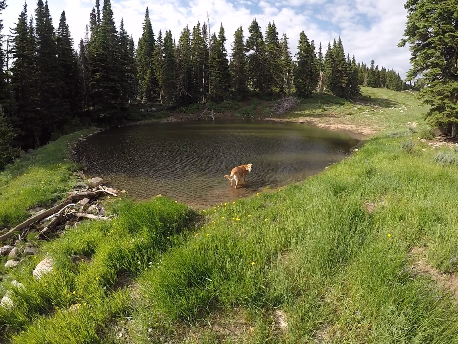
We reached the spring/pond area and took a quick break. Charlie went for a swim to cool off.
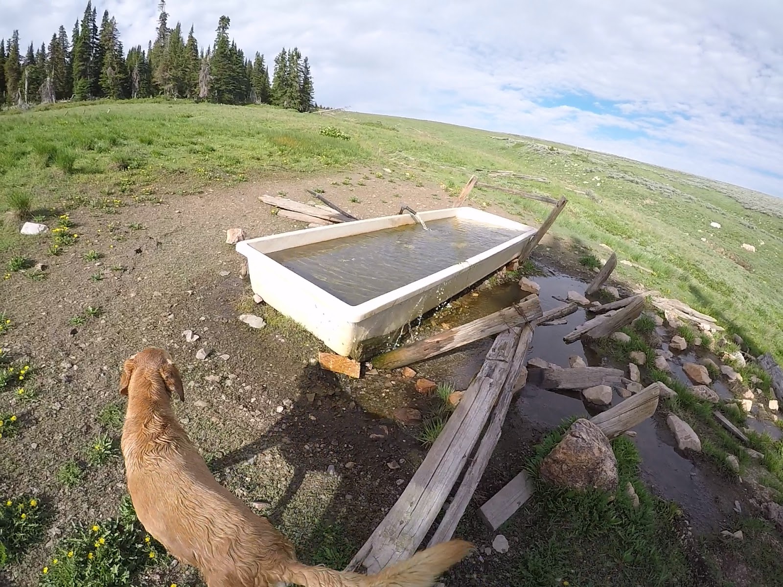
Checking out the spring. If you wanted to backpack this area would be the most ideal. It’s the only water spot, and there are plenty of flat campsites to choose from.
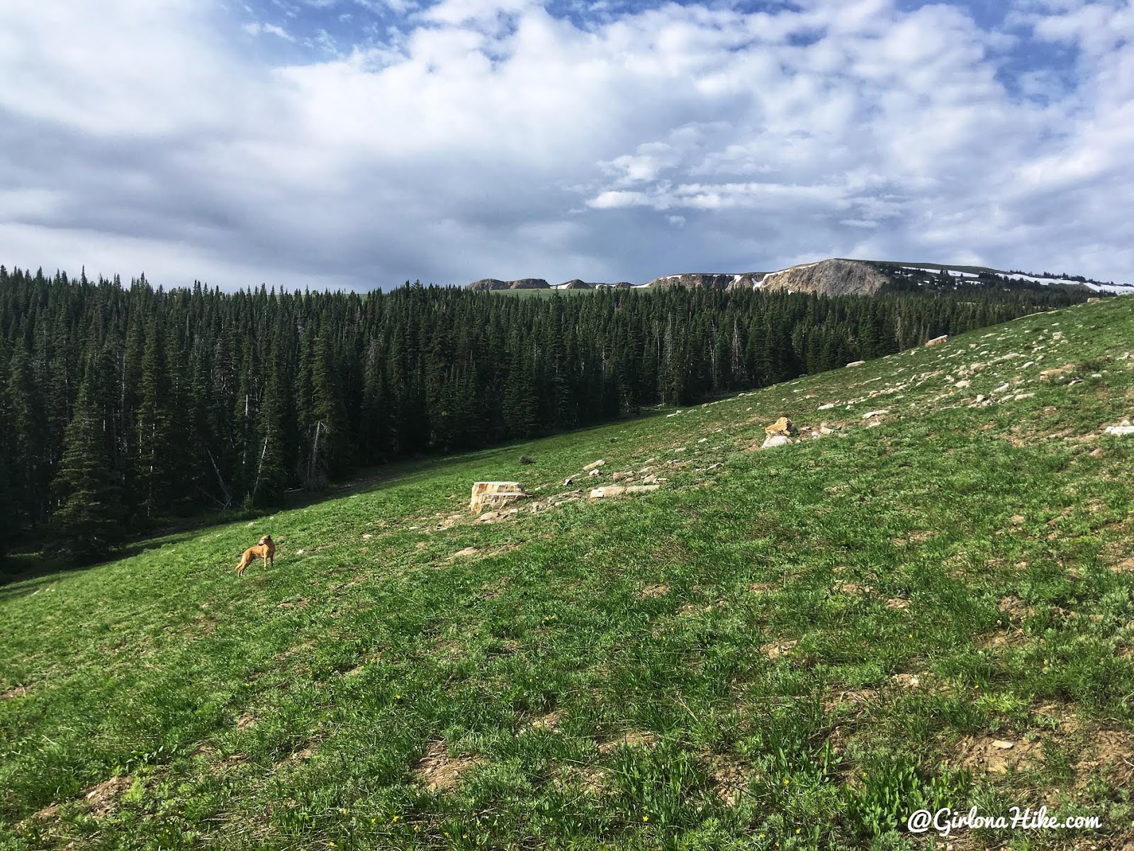
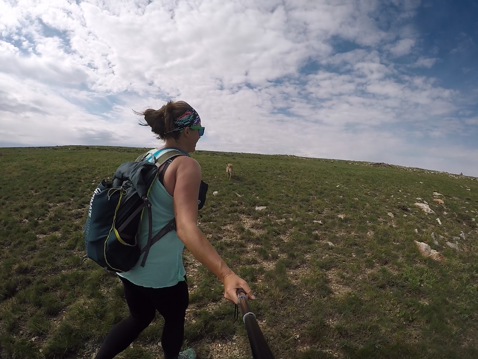
After hiking for another mile or so, the trail died out again. This was getting steep! I decided to just aim straight, along the ridge.
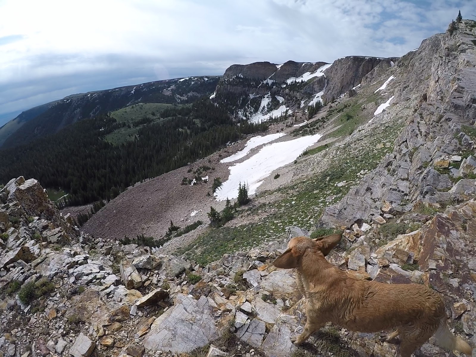
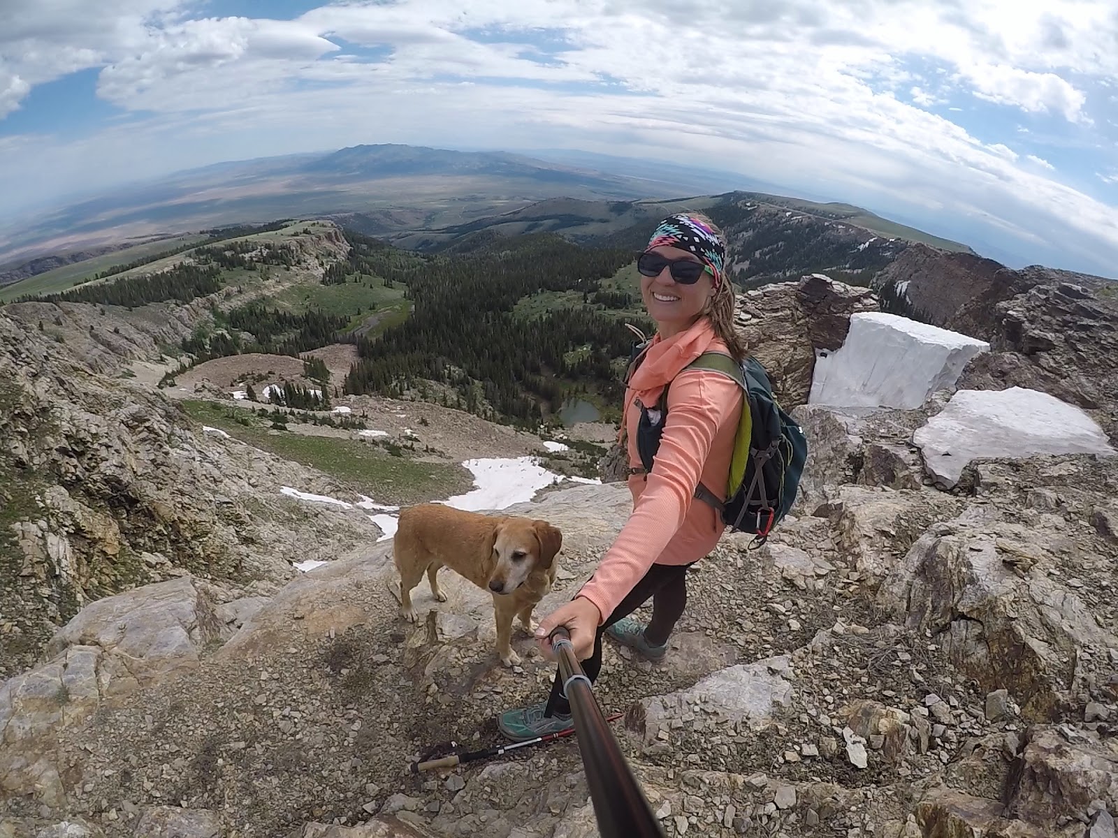
It ended up being a decent decision because it led me to this amazing view of the Bull Mountain cirque!
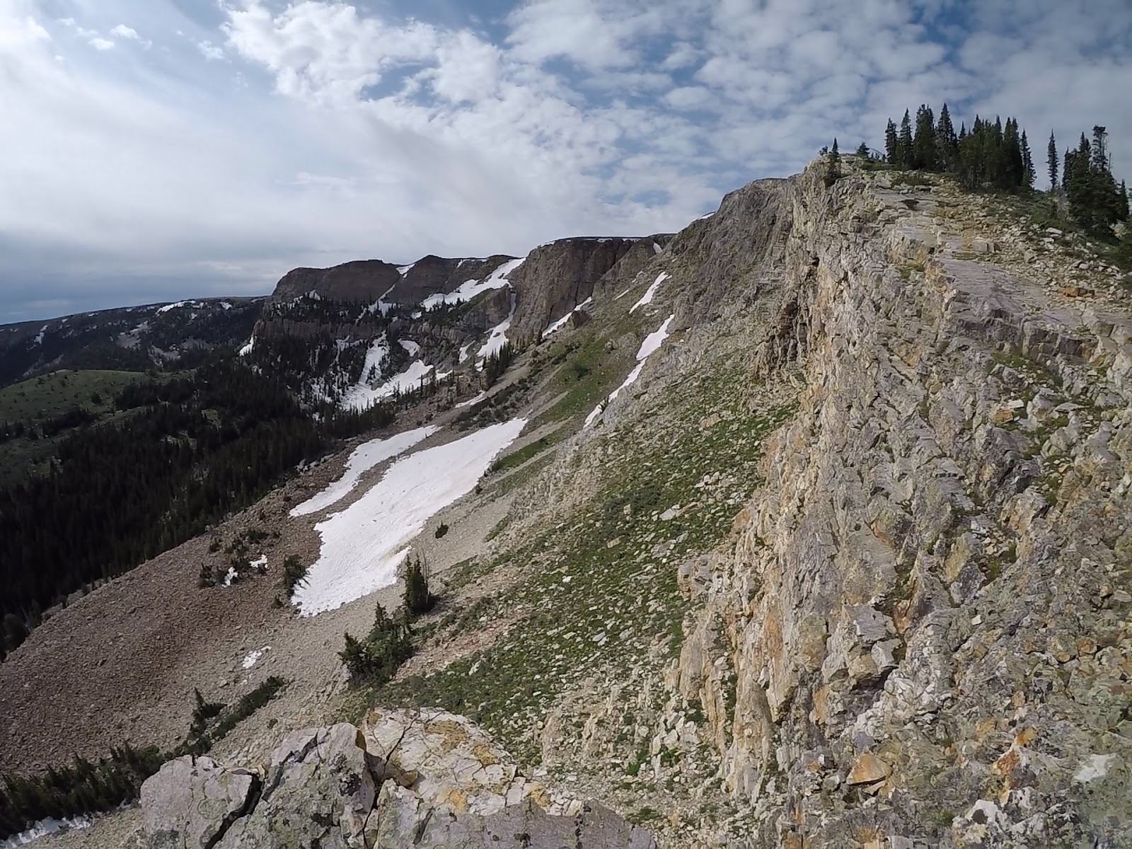
From here I literally hugged the Ridgeline as I made my way towards the summit.
Such a cool view!
Now, I started to aim for the actual summit which actually isn’t above the cirque at all, but a little further out on top of Bull Flat. You’ll pass through the private property gate again.
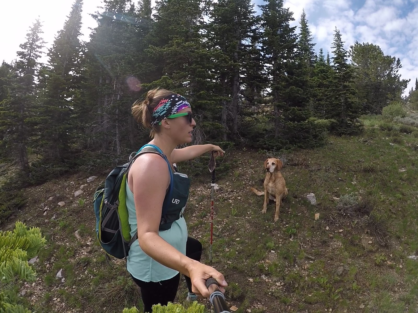
Charlie must have know we were close because he was super perky! It was much cooler up there as well because of the wind.
Almost there…
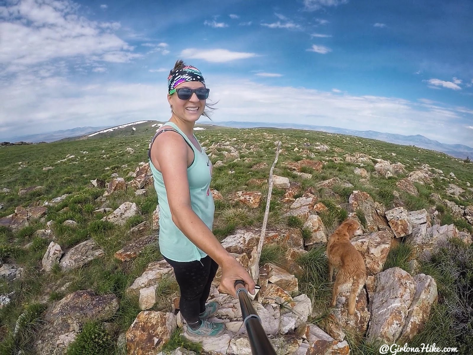
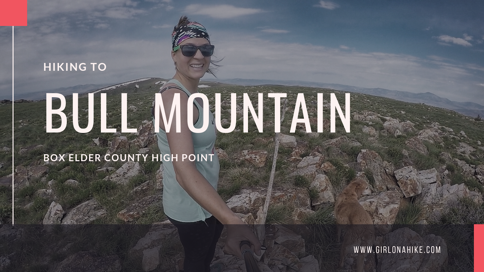
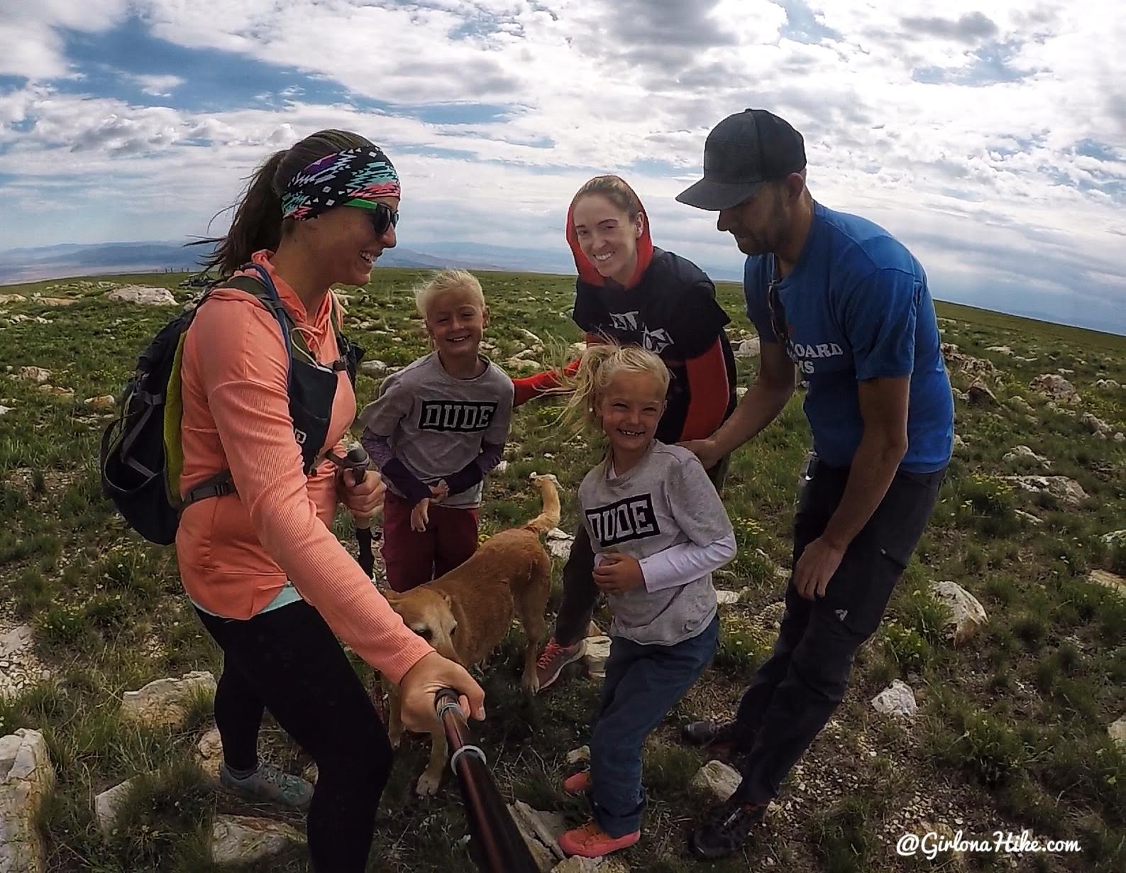
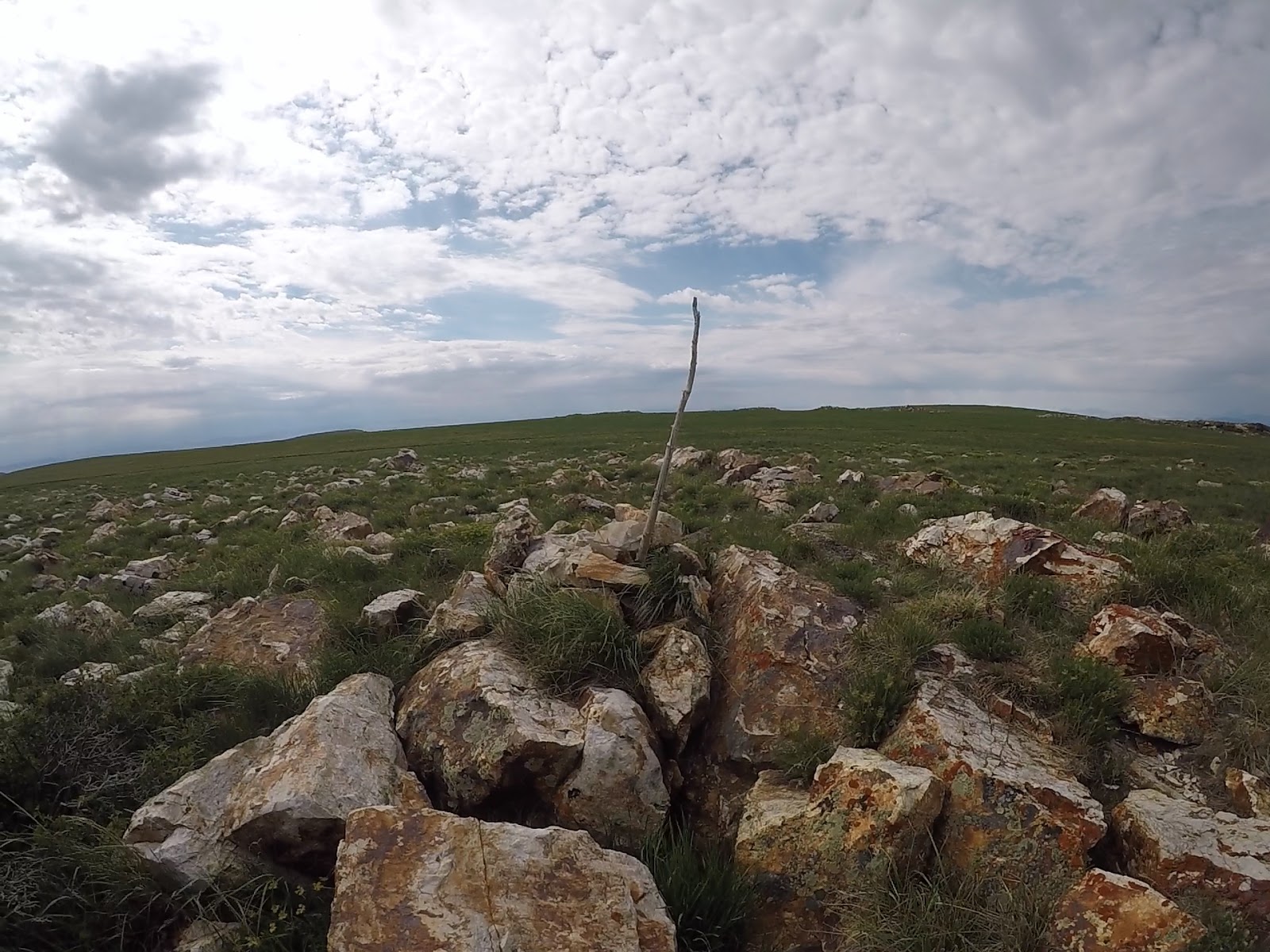
Yay! We made it! It took me exactly 3 hours to summit. The summit itself isn’t much to look at but we took our snack break here anyway, below some rocks to avoid the strong winds.
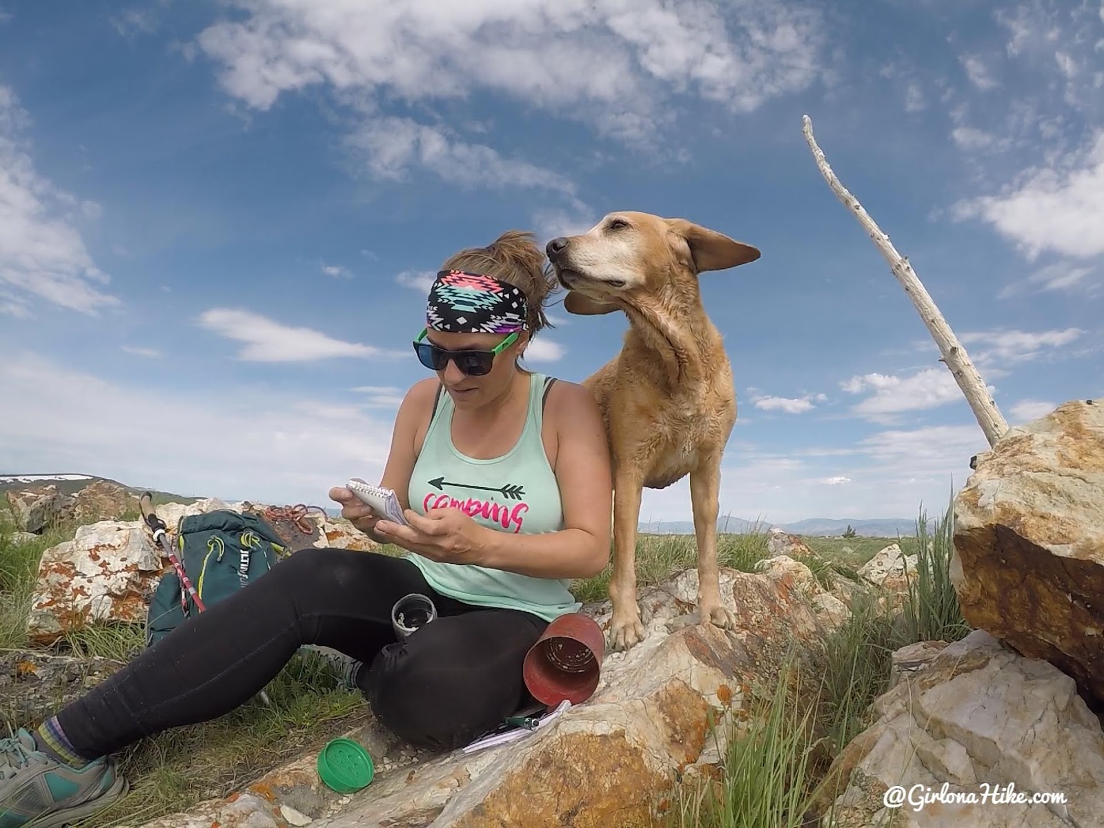
Signing the register!
See ya Bull Mountain!
One last look down into the cirque before turning around.
On the way down I took a slightly different route off the summit, taking the ATV road down to an area I initially branched off from. It connected over, and I didn’t have to route find or do any bushwhacking. It only added on 1/2 mile. Win!
Right after I finished hiking Bull Mountain, I headed over to Bridger Peak!
Check out my youtube video!
Trail Map
Light purple line – my route up.
Yellow route – my route down.
My track via Gaia GPS – the best tracking app! Get your app here for a discount.
Recommended Gear
Recommended Hike
The 6 Steepest Hikes in the Wasatch

Save me on Pinterest!