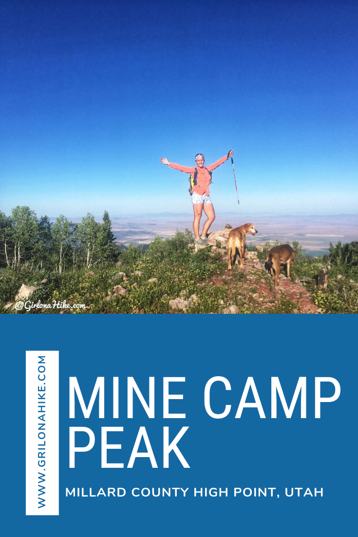
Mine Camp Peak (10, 222ft) is the Millard County High Point (CoHP), and one of the easiest to summit out of all the CoHPs at only 1 mile round trip. The drive will take much longer than the actual hike, so be prepared to spend close to half a day at least to summit this peak, and make the drive in and out. Mine Camp Peak should be combined with other peaks in the area since it’s so short. In one weekend, we knocked out Brian Head Peak (Iron County High Point), Andy Nelson Peak & the Kane County High Point, Cascade Falls, and South Tent Mountain (Sanpete County High Point). Camping is available right at the trailhead, but only 2-3 tents can fit and one car can park there. This trail is both dog and kid-friendly!
Directions
The easiest drive is to come up from Richfield, Utah. You can come up from Fillmore, Utah, but only if you have an ATV. The road on that side of the mountain is extremely bumpy, rutted out, and narrow. We talked to a family in an ATV coming up from that side, as we were debating to go down that way, and they highly suggested not to. We took their advice and returned the way we came up.
From Richfield, head west on W 300 N. You’ll pass under the I-70, then pass a large tan water tank. At 1.3 miles, pass the winter gate. Then at 8 miles turn right for Chalk Creek Road. At 16 miles, left on Sand Creek Road. Total mileage along FR96 is only 18 miles, but will take you about 45 min to 1 hour to drive. A small car will have some trouble on this road, so an SUV or large is needed.
Here’s a driving map from Richfield.
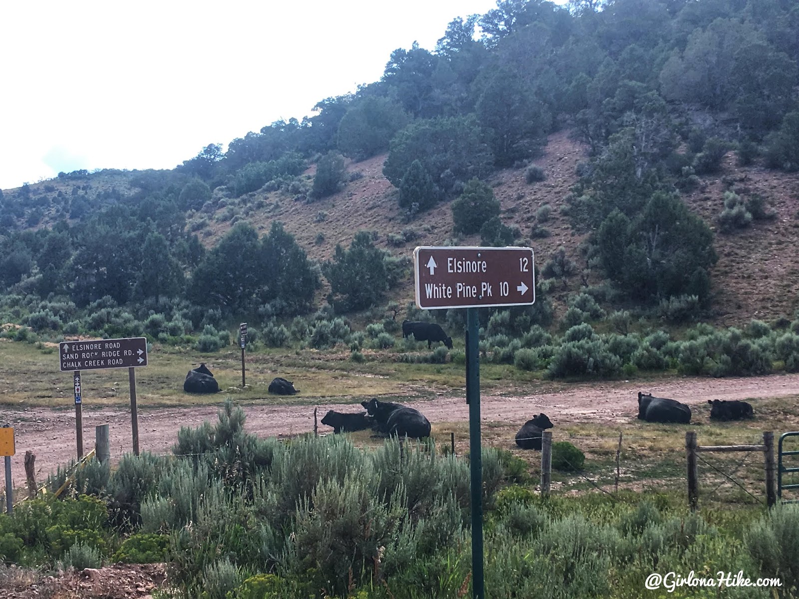
You’ll be following the signs for White Pine Peak as well – Mine Camp Peak is just beyond White Pine. Also, there are lots of cows on this road!
Trail Info
Distance: 1 mile RT
Elevation gain: 375 ft
Time: 1 hour
Dog friendly? Yes, off leash
Kid friendly? Yes, ages 6+
Fees/Permits? None
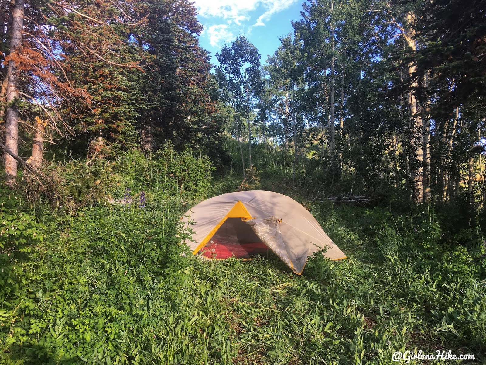
There’s enough space for 2-3 tents right at the TH.
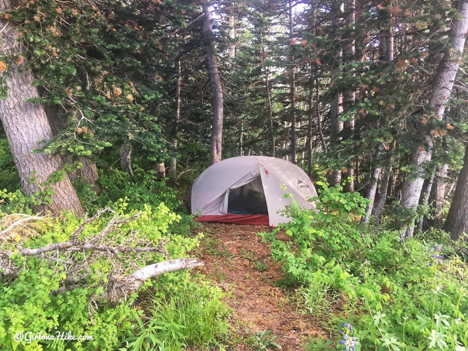
Another campsite tucked into the trees.
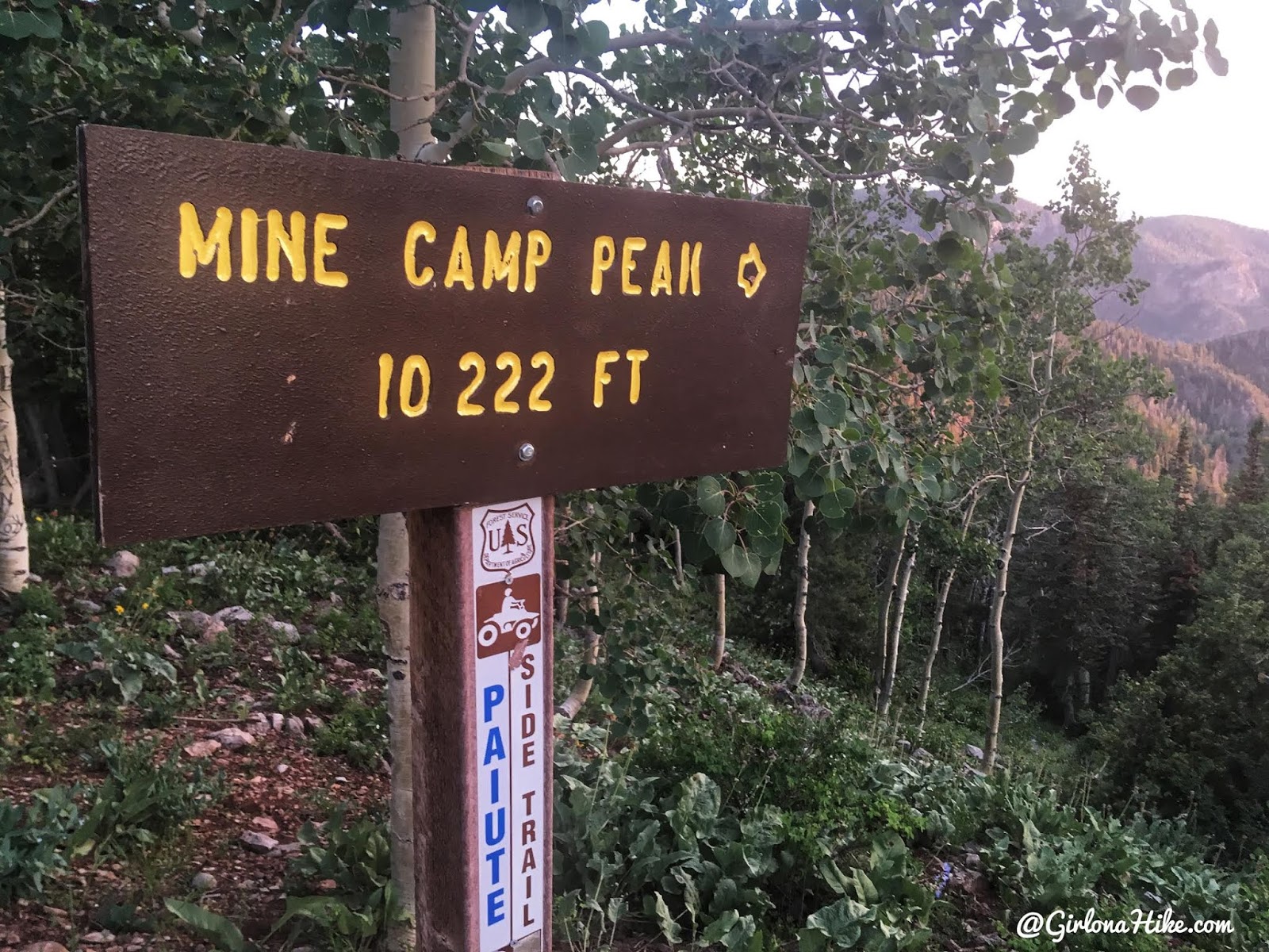
The official peak sign is NOT where the trail starts. The actual faint trail starts on the north side of the cattle guard, up about 20 feet.
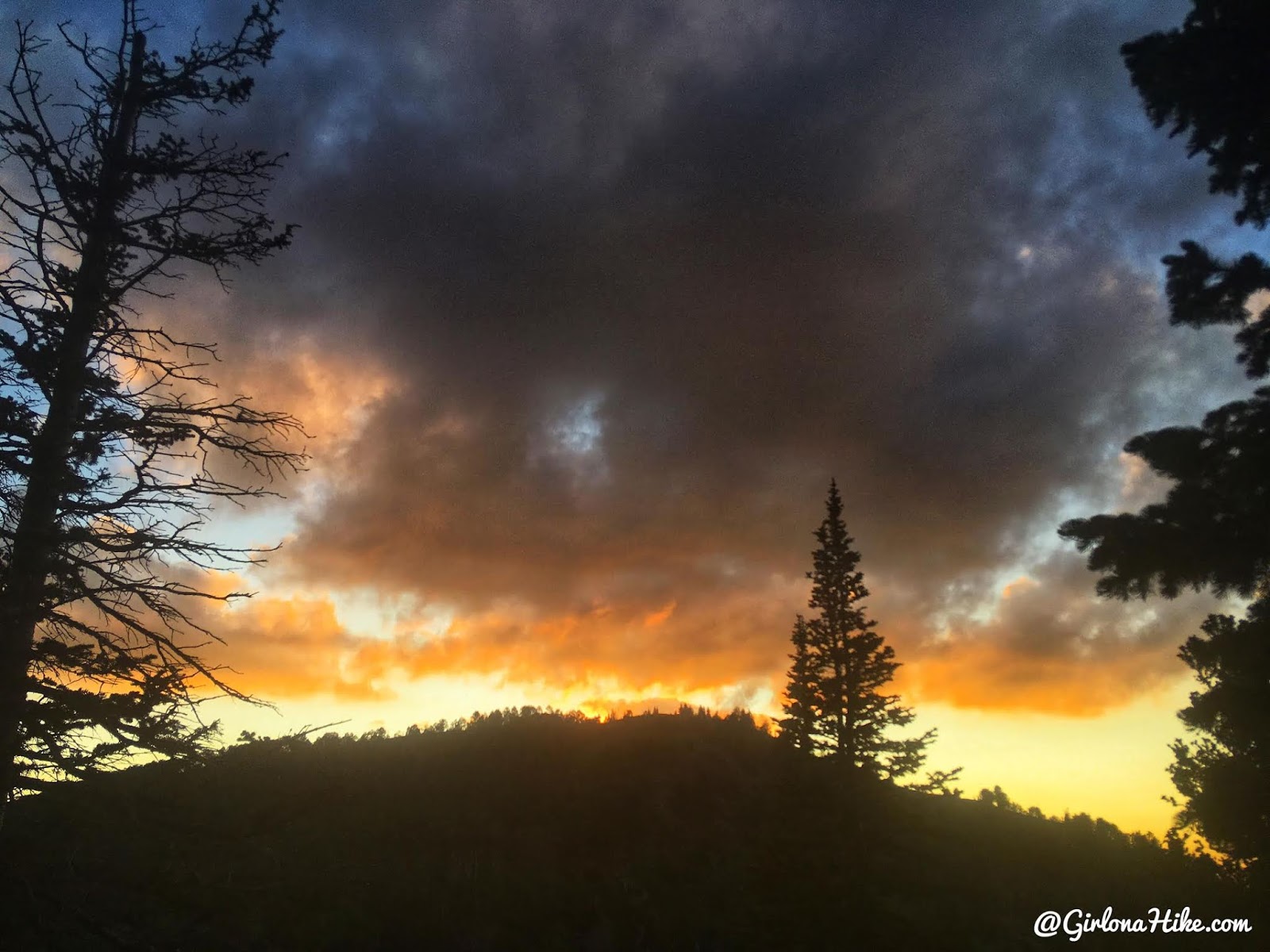
Sunset over Mine Camp Peak, the night before we hiked it.
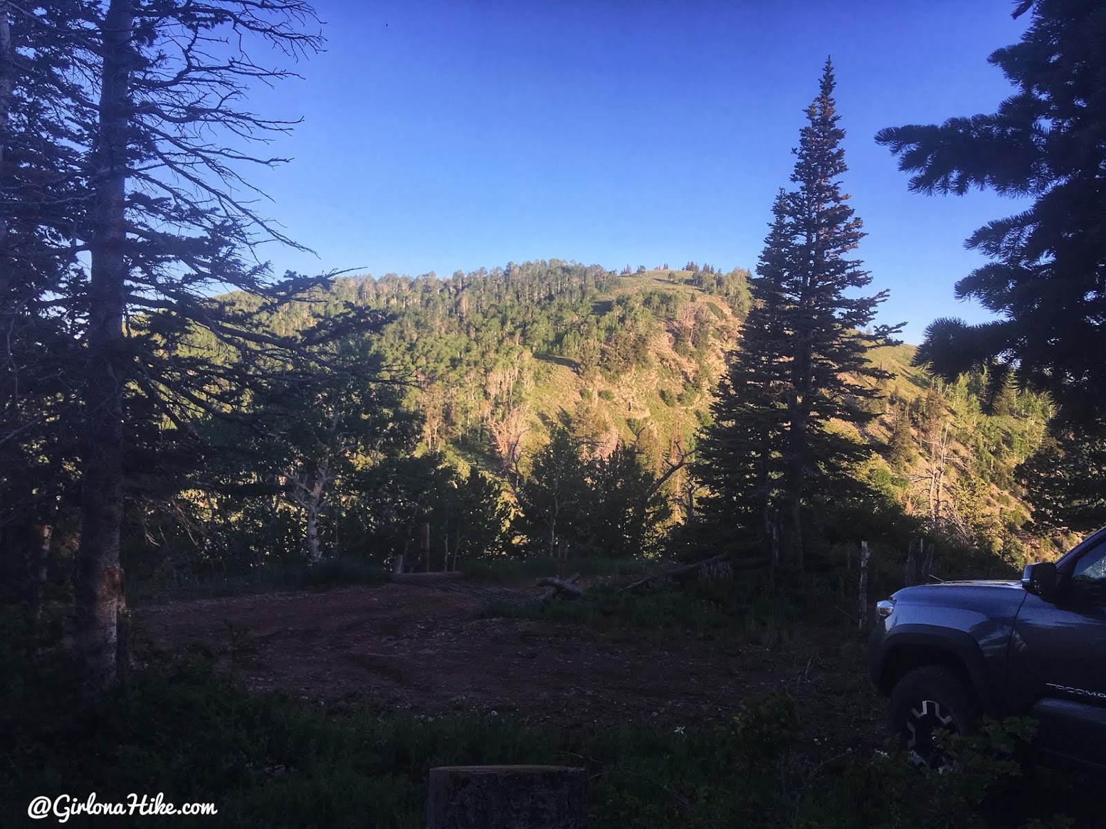
Sunrise over Mine Camp Peak.
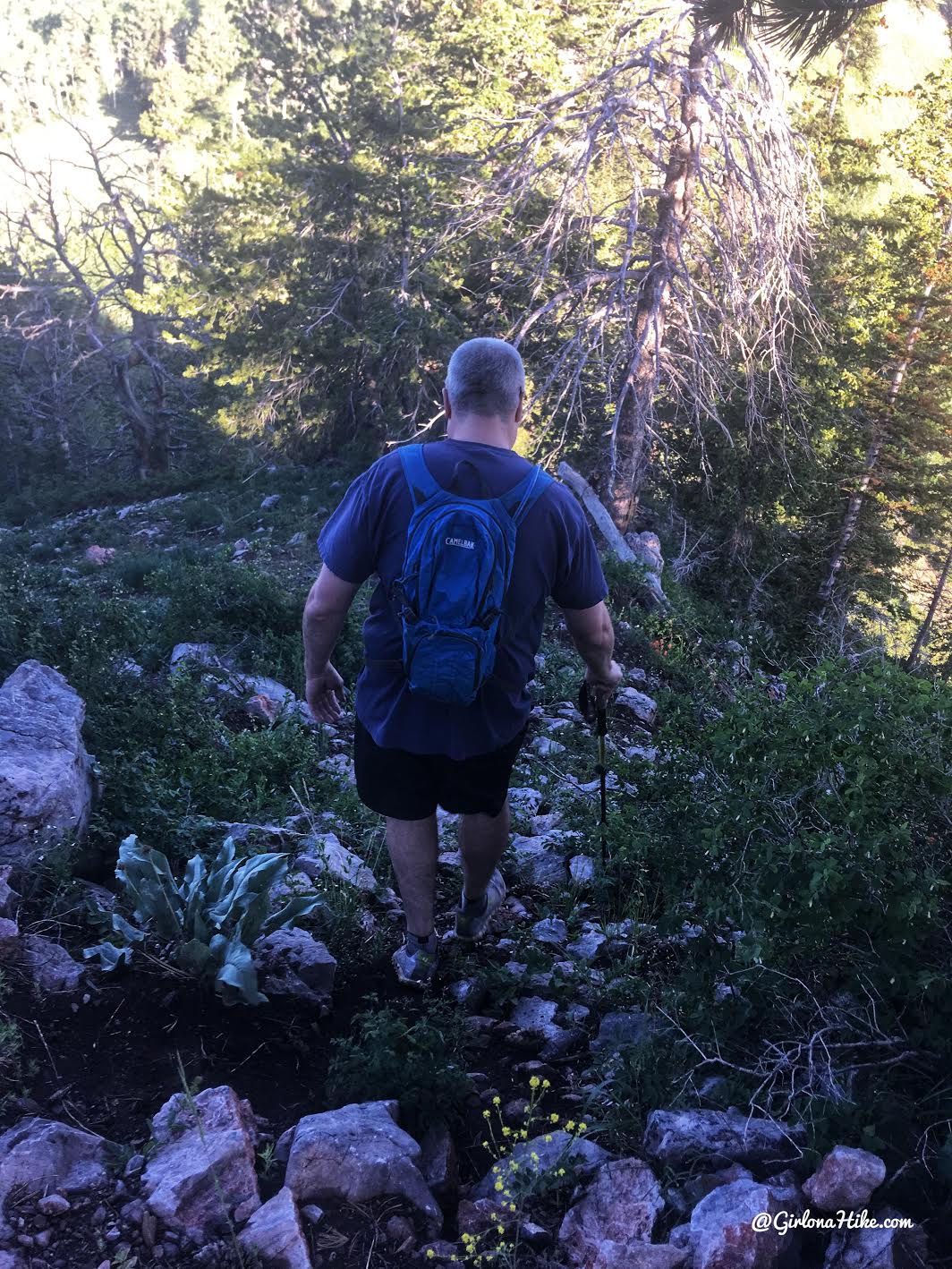
Start by dropping down the faint trail on the north side of the cattle guard.
The trail drops down about 100 ft to the saddle.
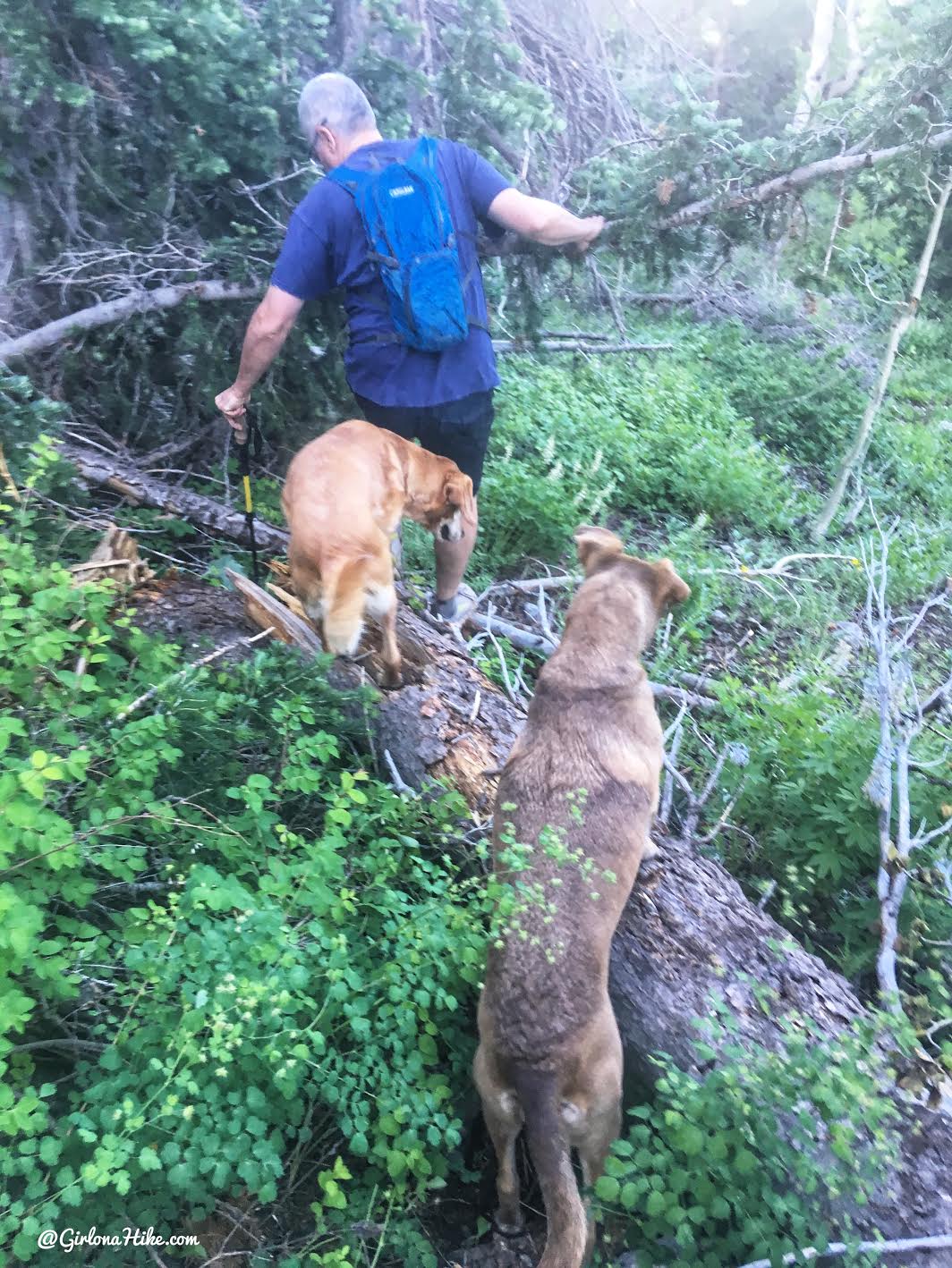
You’ll have to climb over one large downed tree.
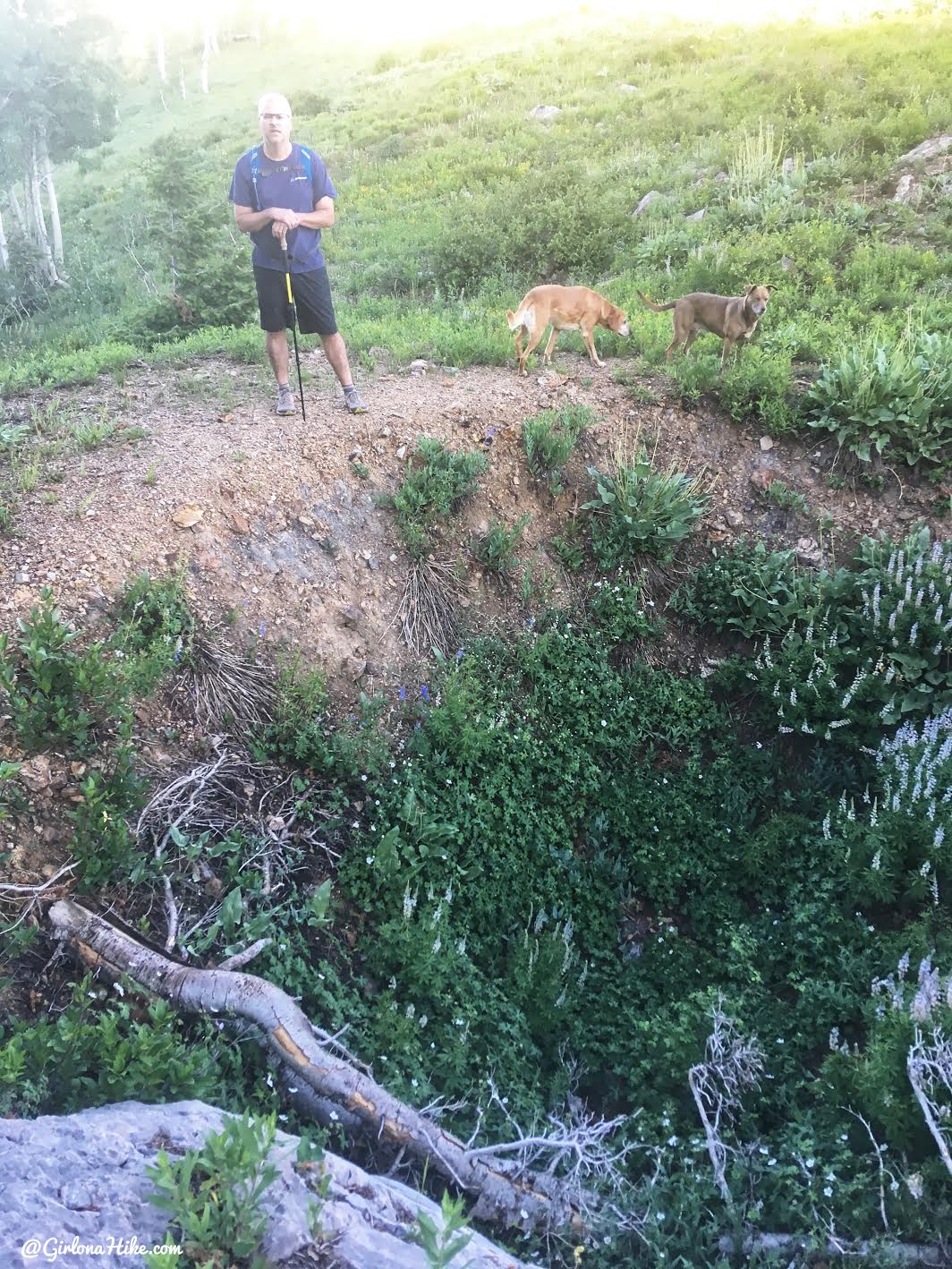
And pass by a sinkhole.
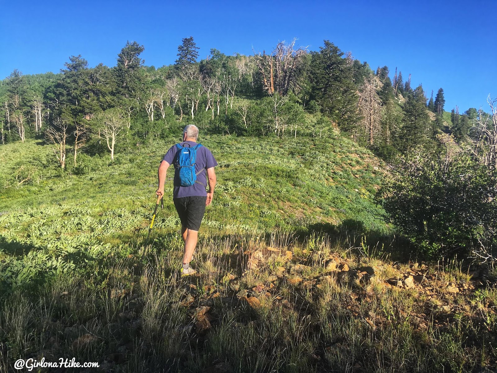
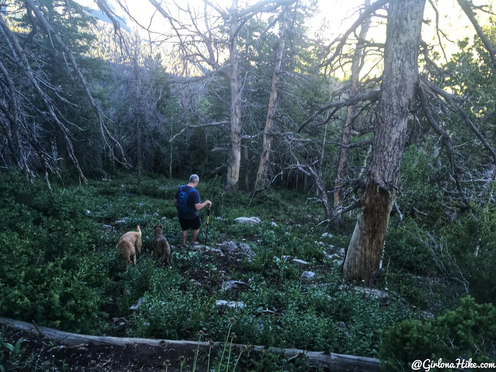
From the saddle, continue up the ridge to the peak. Stay on the far right of the ridge or else you’ll be trapped into bushwhacking. You should see a faint trail the whole way.
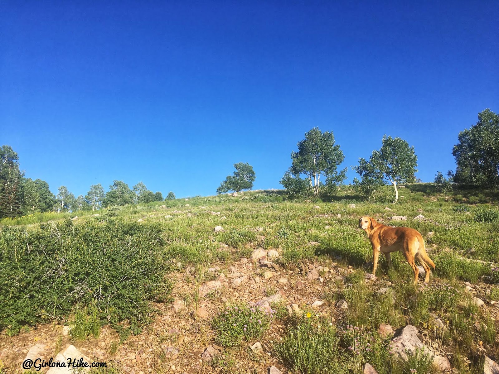
Eventually the trees fade away, and you’ll be hiking across a more level field.
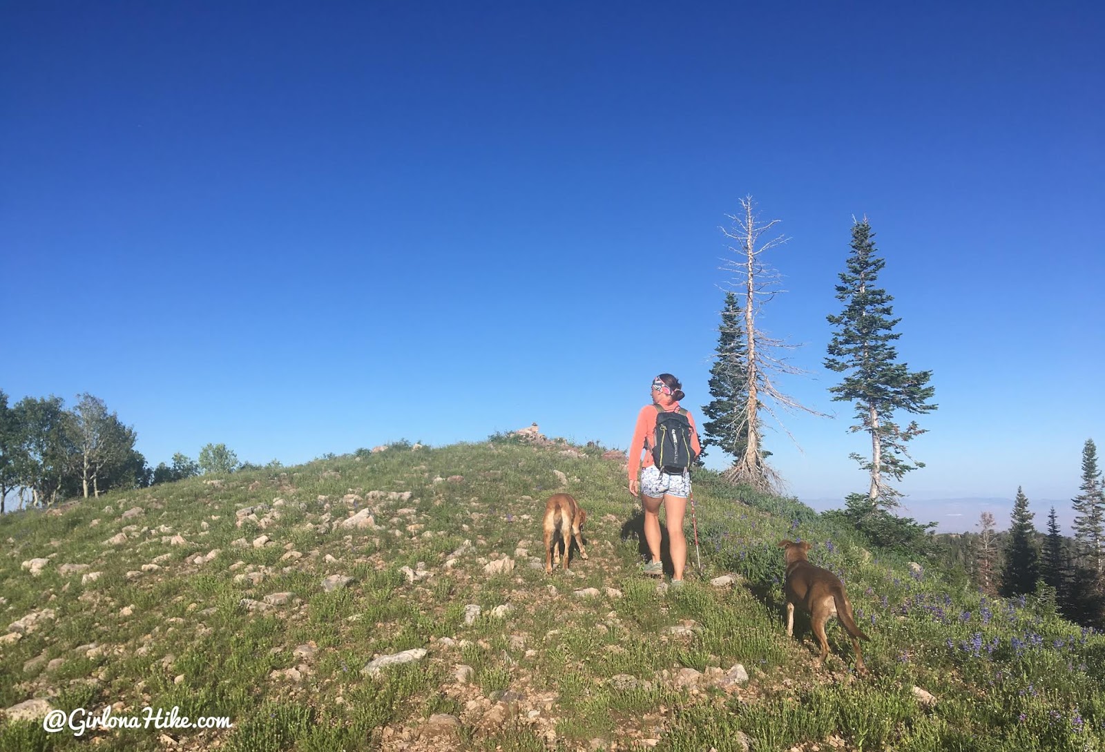
Then just aim for the summit!
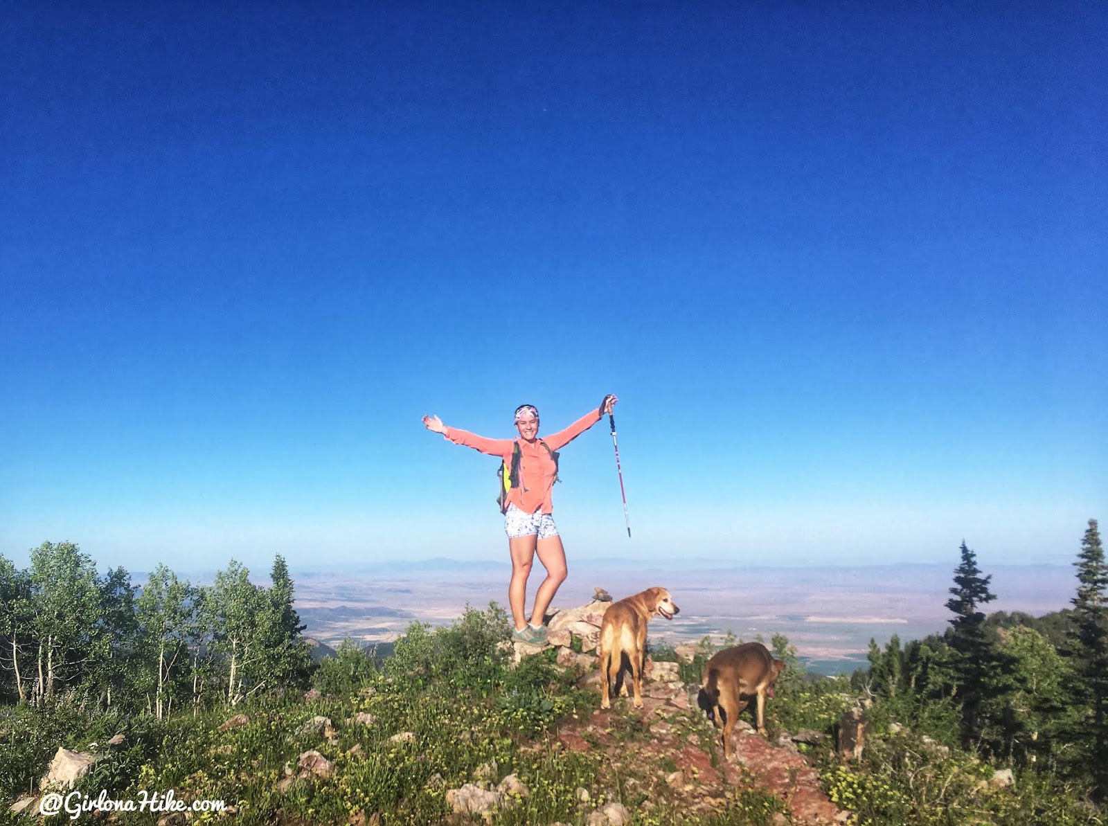
It took us 18 minutes to reach Mine Camp Peak! There was a summit register with fresh paper and pen in there, so we signed that then went back to camp to make breakfast before heading to our next destination for the weekend.
Trail Map
Light pink = drive up
dark pink = hike
My track via Gaia GPS – the best tracking app! Get your app here for a discount.
Recommended Gear
Nearby Hike
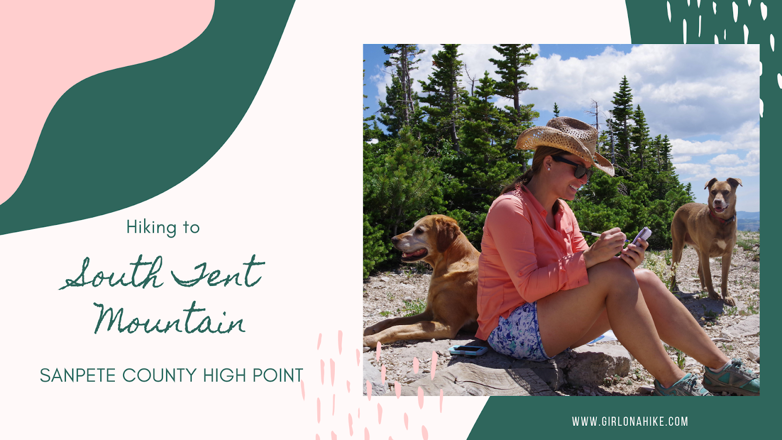
Hiking to South Tent Mountain, Sanpete County High Point


Save me on Pinterest!