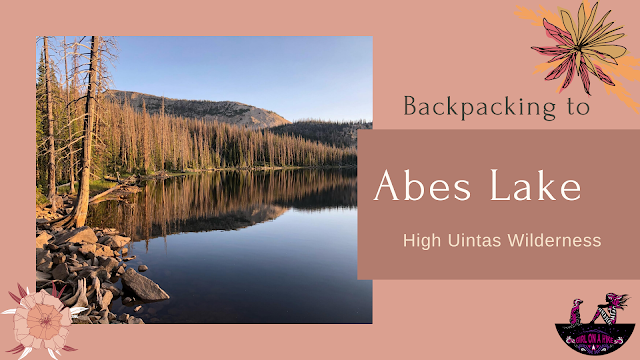
About
Directions
From SLC, head East on I-80, then south on HWY 40. Take exit 4 and turn left towards Kamas, UT. Drive about 2 miles, then turn left on Brown’s Canyon Road. When you reach HWY 32, turn right thought Peoa, UT. Turn left at the Road Island Diner along HWY 32 (they have great milkshakes!). You’ll end up driving past the Smith & Moorehouse Reservoir, straight along a well-graded dirt road. Once you drive under the gate just past the Smith & Moorehouse turn off, drive to the end of the road until you see the Gardner’s Fork TH on your left, 8.4 miles once you hit the dirt road, and about 1.4 miles past the Dry Fork TH. Even small cars can drive on the dirt road as it is well graded. There is a port-a-potty at the TH.
Here is a driving map.
Trail Info
Distance: 8.4 miles RT
Elevation gain: 1900 ft
Time: 5-7 hours for a day hike, or 1 night backpack
Dog friendly? Yes, off leash
Kid friendly? Yes, for older kids
Fees/Permits? None
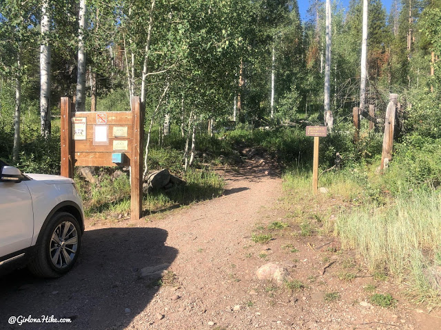
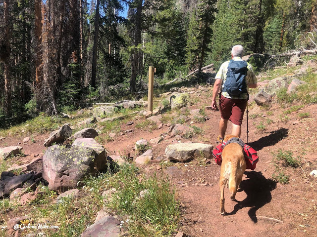
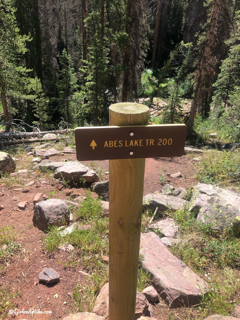
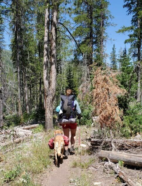
The trail begins at the Gardners Fork TH. The sign says “Abes Lake Trail 3 miles” however that is only to the trail split, NOT the lake. The lake itself is 4.2 miles one way.
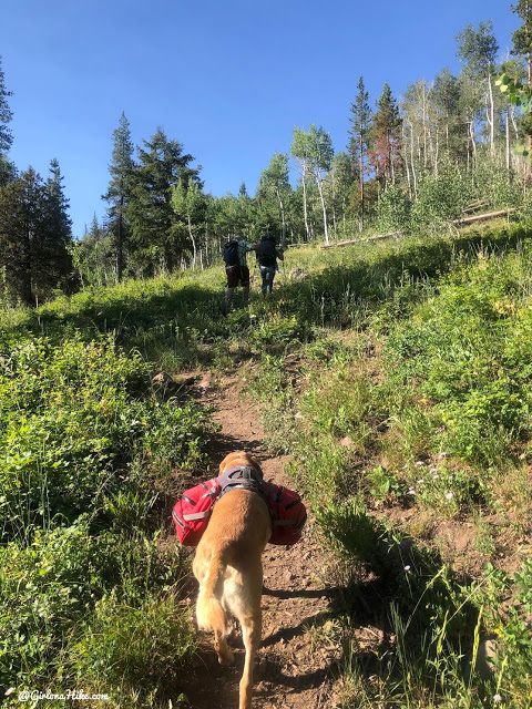
The first 1/2 mile you will gain elevation gradually.
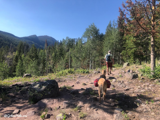
Top at out what is an open spot with great views to the North and NE. The first 3 miles of this trail leads south.
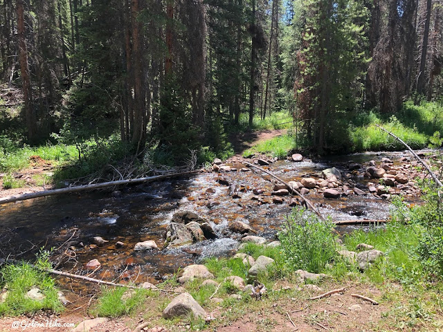
At 0.9 miles reach the first of three stream crossings. There are logs off to the left to cross in higher water.
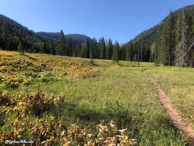
Hike through the one and only big meadow.
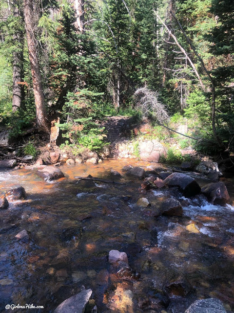
At 2.1 miles cross the second stream. The water was too high again to be able to rock hop.
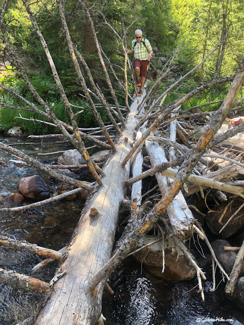
However about 20 feet upstream we found this log to cross on. There is actually a faint trail leading to this, and seems like a popular spot to cross.
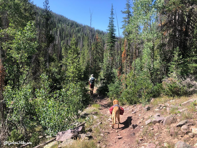
The trail meanders through the forest for another mile or so.
The trail sign for 3 miles was pretty accurate – I tracked 3.2 miles to the split and only 678 ft gain. The sign is facing the opposite way as you reach it.
Turn left at the split. For facing the wrong way the sign looked brand new.
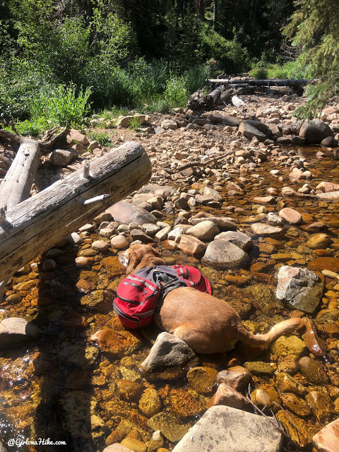
Hike across the 3rd stream crossing. By this point in the morning the dogs were getting hot so Charlie took advantage of a 5 minute break by laying in the water to cool his belly.
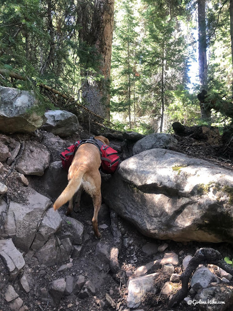
After you cross the stream the hard work begins. The trail gets very steep and rocky.
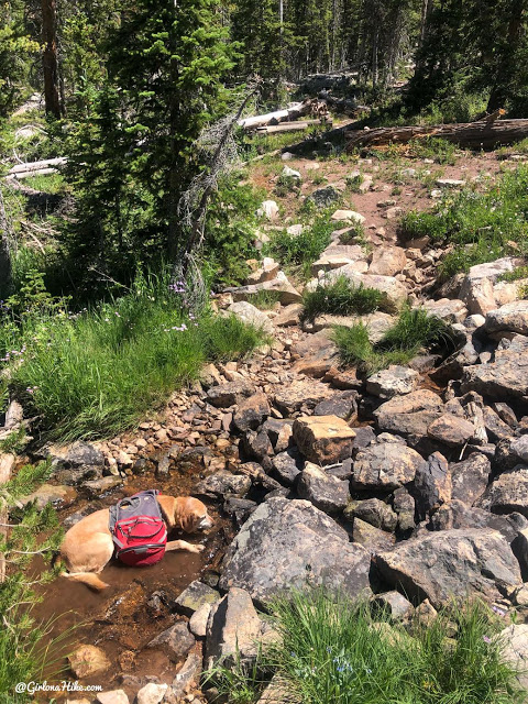
Around 4 miles I was really glad to see this small stream because not only were we really close to reaching the lake, but Charlie could cool off again. It was soooo hot for everyone.
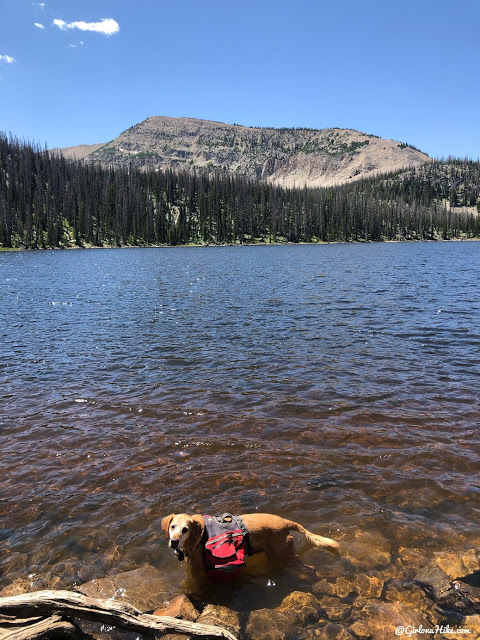
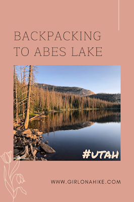
At 4.2 miles we finally reached Abes Lake!
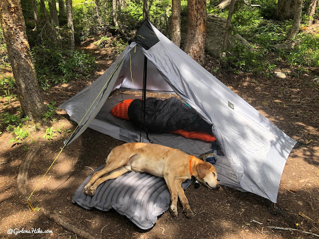
We passed one couple on our way up who told us to walk to the left side of the lake for a decent campsite, so we took that one. It had enough room for probably 4 tents, but all were sloped. There was a really nice fire ring and a short shovel left by horse riders. All night I kept sliding towards my door. Ugh! However I do love my 1 person Lunar Solo tent (really a 1.5) because it fits me and Charlie perfectly and is only 2 lbs! Get 10% off your entire order from Six Moon Designs, use the code GOWILD19 at checkout! Save yo’self some money and backpack lighter!
As soon as I set up my camp, Charlie was just wiped out from the heat and the hike and took a nap on his inflatable backpacking dog bed.
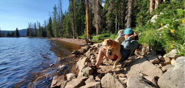
In the evening we hung out by the lake where there was a nice breeze. We hardly saw any fish jump the entire trip, so it wouldn’t be the best for fishing.
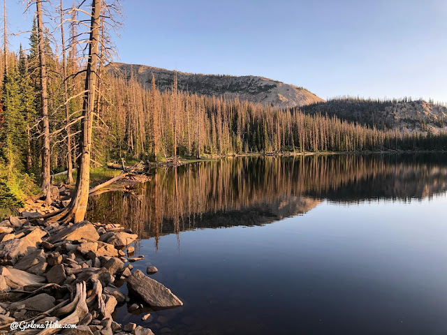
The prettiest time of the hike was in late evening when the water was glass and the sunset lit up the trees around Abes Lake. When we walked around this side of the lake, we didn’t see any other campsites set up and it was even more sloped.
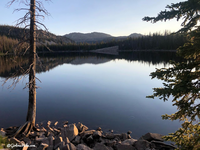
One last look for the night.
Time to head home! If I were to do this trail again I would only go for the day, but we had a great time hanging out with friends and enjoying the mosquito-free campsite!
Check out my video!
Trail Map
My track via Gaia GPS – the best tracking app! Get your app here for a discount.
Recommended Gear
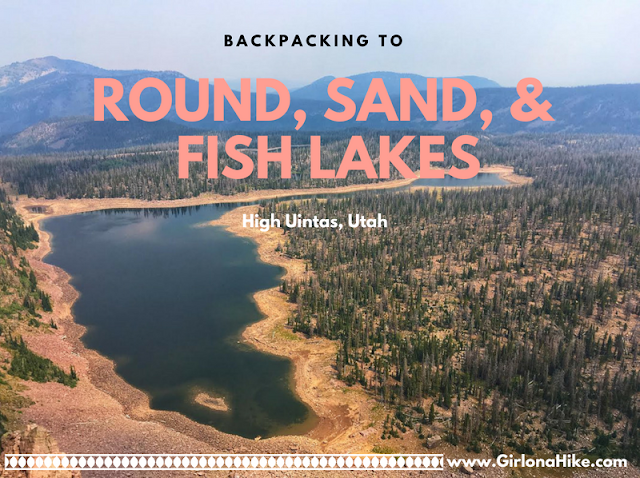
Nearby Hike
Backpacking to Round, Sand, & Fish Lake, Uintas

Save me on Pinterest!