About
Directions
If you are heading south on I-15, use this map. Take exit 23 and drive slowly through the neighbor hood, road FR032. Eventually you’ll come to this split in the road.
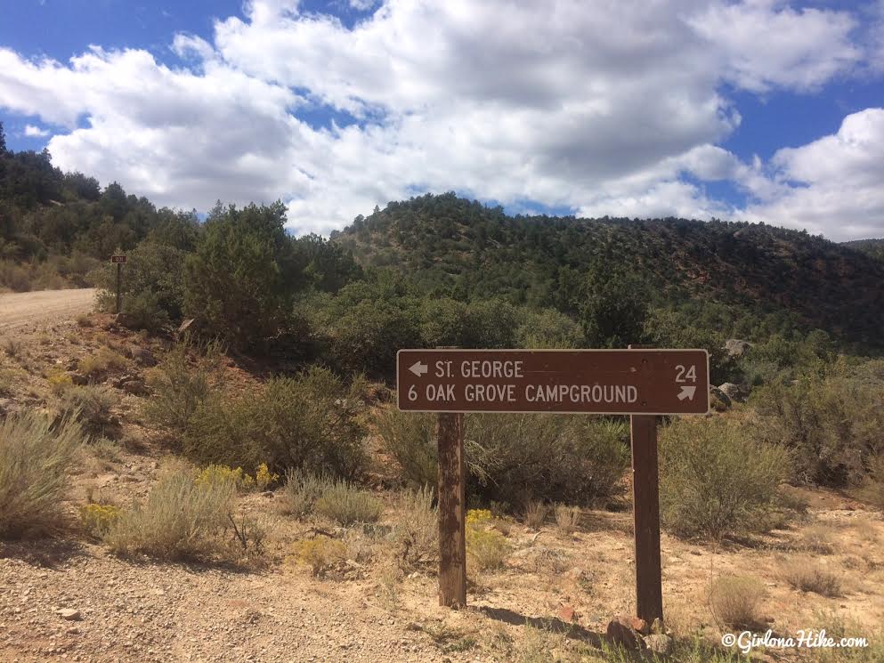
Stay stright for St. George. From here reset your odometer to 0. Drive 7 miles to an area that can obviously fit 10-15 cars on either side of the road – the road is now FR031. If the road has recently been graded, small cars should be able to make it to the TH. Otherwise, you’ll need 4×4 cars. I would call the Pine Valley Forest Ranger before heading out, to check on the road condition. My friend went here in May and said her RAV4 couldn’t make it all the way, yet this past weekend the road was in perfect shape and even my Sonata could have made it. We drove in a Tacoma just to be safe. It really depends on the weather. Call the Ranger at 435.7834338.
Trail Info
Distance: 1.3 miles to Anna’s View Point
Elevation gain: flat
Time: varies, 1 hour minimum
Dog friendly? Yes, off leash
Kid friendly? Yes
Fees/Permits? None
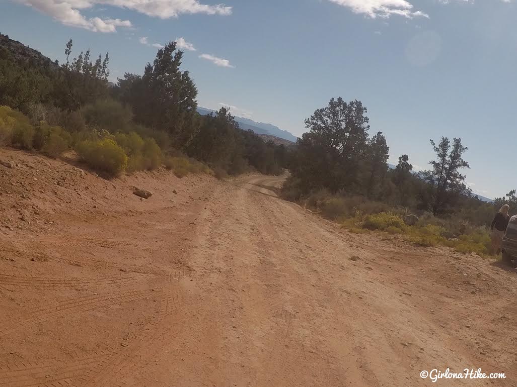
This road generally stays in really good shape, except after recent rains.
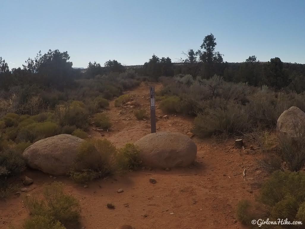
Anna’s View Point Trail starts on the south side of the road. You’ll see these boulders and the brown post. You used to be able to take a Razor/ATV down here, but has been closed off for revegetation. There is no official TH sign.
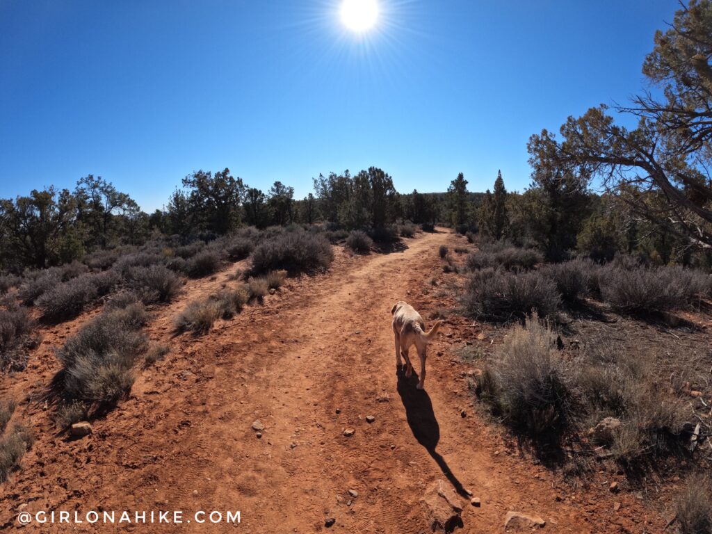
The first mile weaves through a typical pinyon-juniper pine forest, dotted with desert plants. In Spring the yucca and cholla cactus will be in bloom with bring pink flowers.
I love hiking here in early spring/late winter – it was a perfect hiking temperature in the upper 50Fs. A cool breeze made it feel colder. Check out all the gear I use on the RockPorch app here!
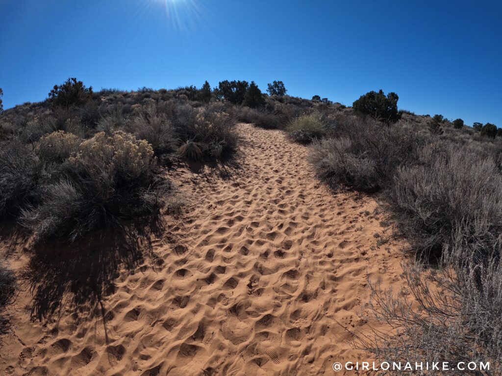
The last 1/3 mile turns into a sand pit, making it hard to hike through.
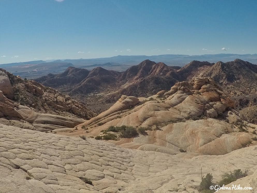
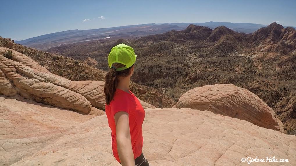
At 1.3 miles you’ll reach the overlook, Anna’s View Point. From here, explore on your own!
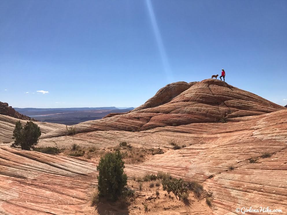
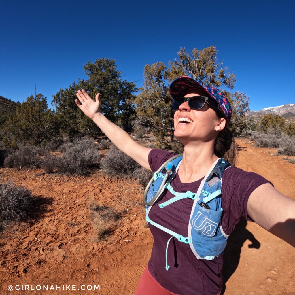
Look at those deep blue skies!!! A perfect day to be in the desert.
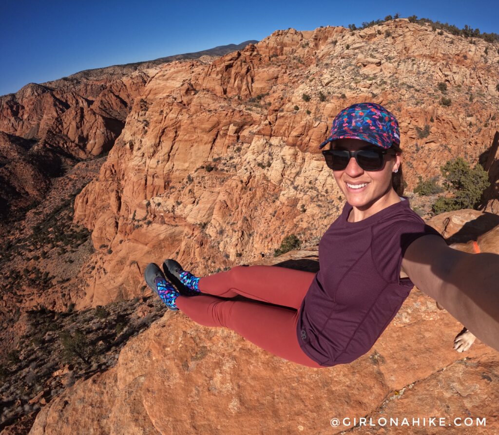
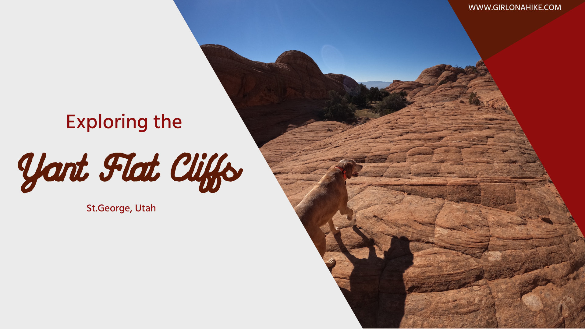
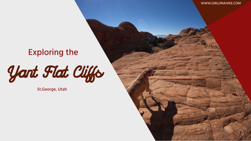
So many good spots to take in the view of Yant Flat!
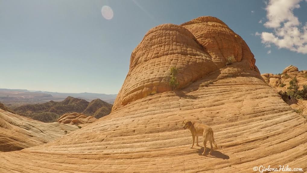
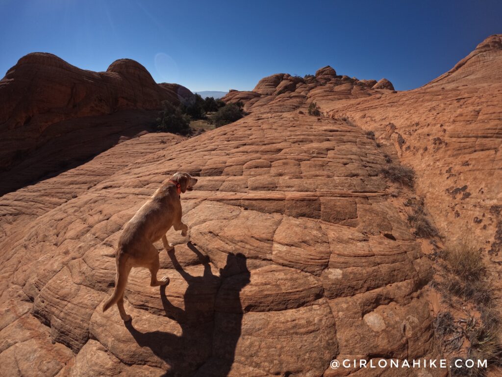
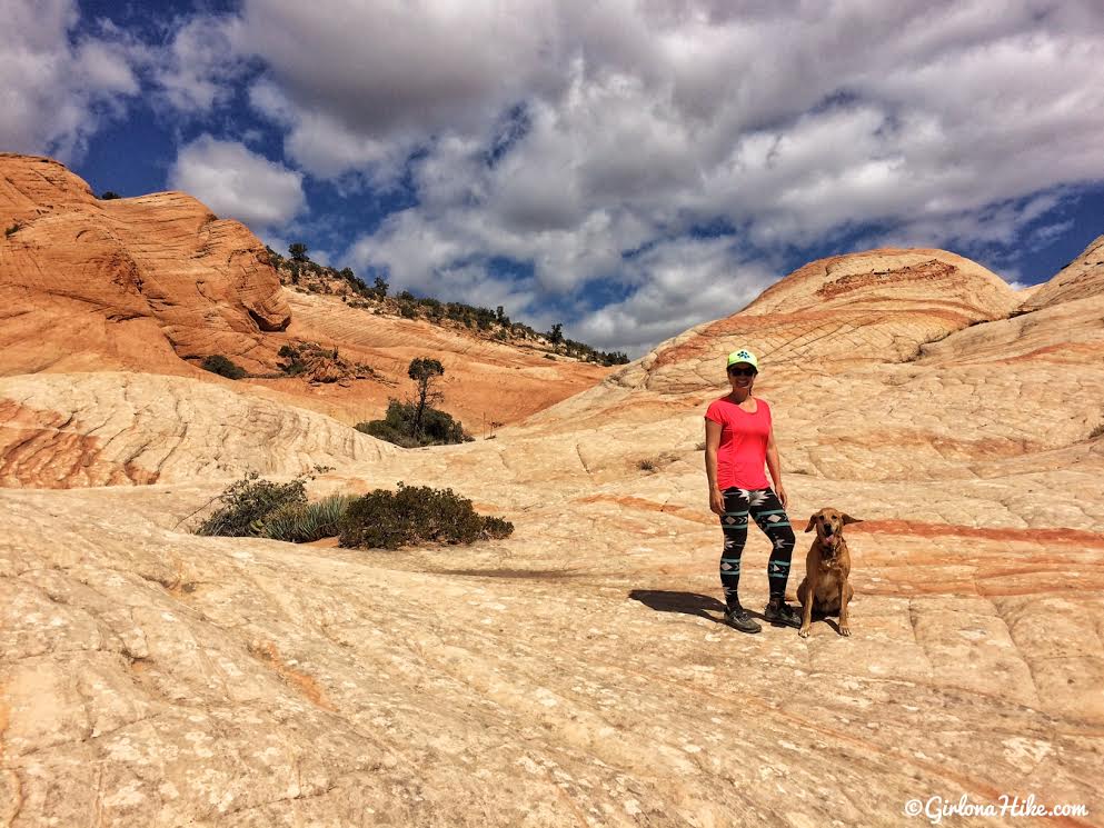
Beautiful orange and yellow slickrock.
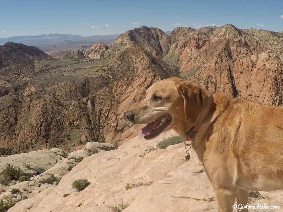
Charlie takes in his view.
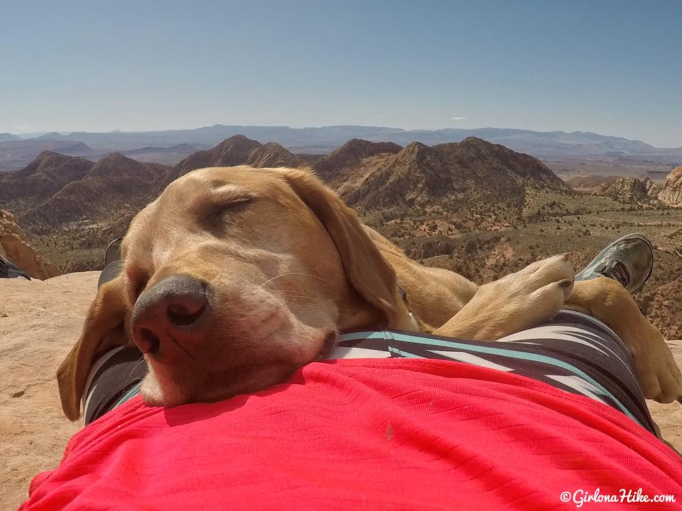
A day in the desert can wear a pup out!
On a clear day you can see all the way to Zion National Park!
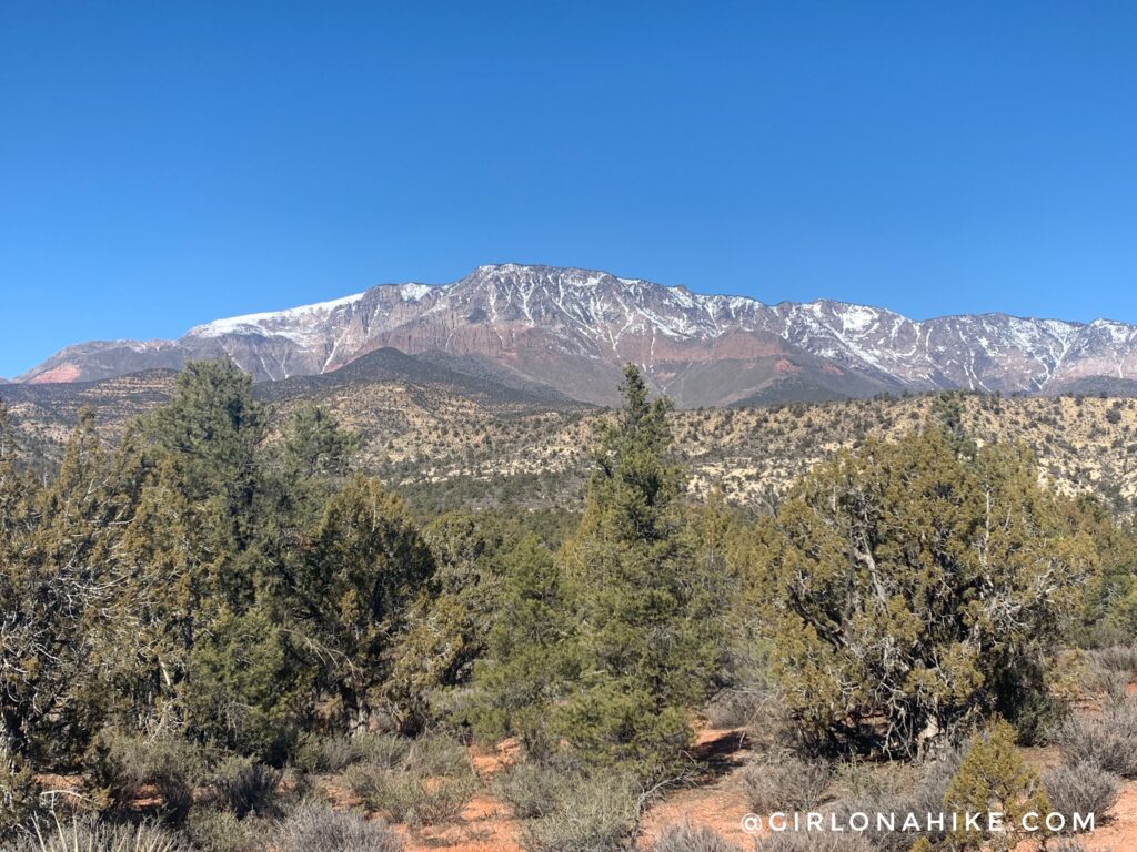
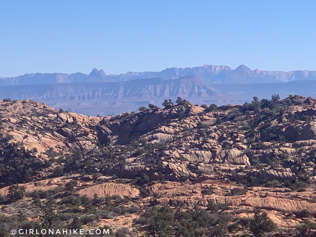
Can’t forget to mention the great view of Signal Peak on the hike back to the car!
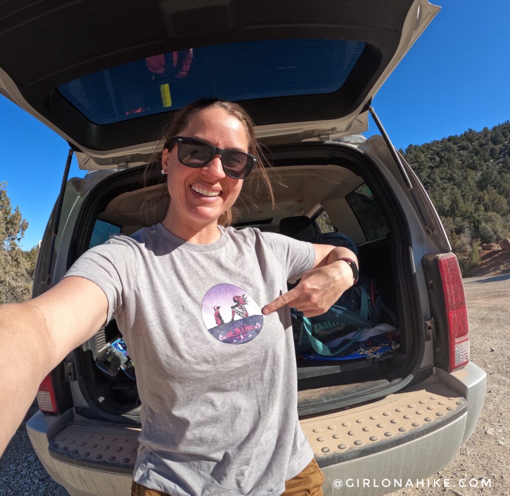
Yant Flat was my last hike on my trip to St.George, so when I got back to my car I cleaned up with some baby wipes and put my clean and comfy custom t-shirt on from Rush Order Tees! I love having my own logo on a t-shirt!
Check out my video!
Trail Map
Recommended Gear
Nearby Hike

Save me on Pinterest!