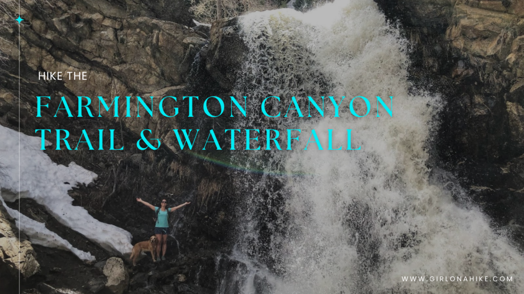
About
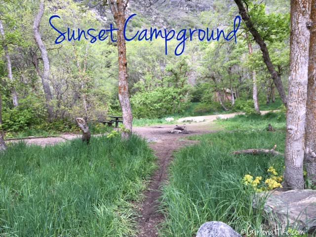
Farmington Creek is the largest stream in Davis County, which leads to a primitive US Forest Service Campground, called Sunset Campground. Along the way you’ll pass about three old cars that fell off the road back in the 1950s-60s. The expansive views and waterfall make this a worthy hike. Grab some snacks, water, and your dogs, and hit this trail early in the morning before the trail gets too hot and crowded.
Directions
From SLC head north on I-15 and take exit 324 and turn right at the light. Follow it as it turns in to Main Street, then turn left onto 600 North. Turn left on Farmington Canyon Rd. Drive 1.6 miles along Farmington Canyon Road. This road is narrow, so drive slow and watch out for runners, bikers, and ATVs also using this road. Right where the pavement ends is a pullout on the right side of the road. This is the trailhead parking. The trail starts to the NW of the parking lot. There are no restrooms and no fees to use this trail.
Here is a driving map.
Trail Info
Distance: 3.8 miles RT (to campground) in Summer. 4.8 miles RT in Winter (when the gate is closed)
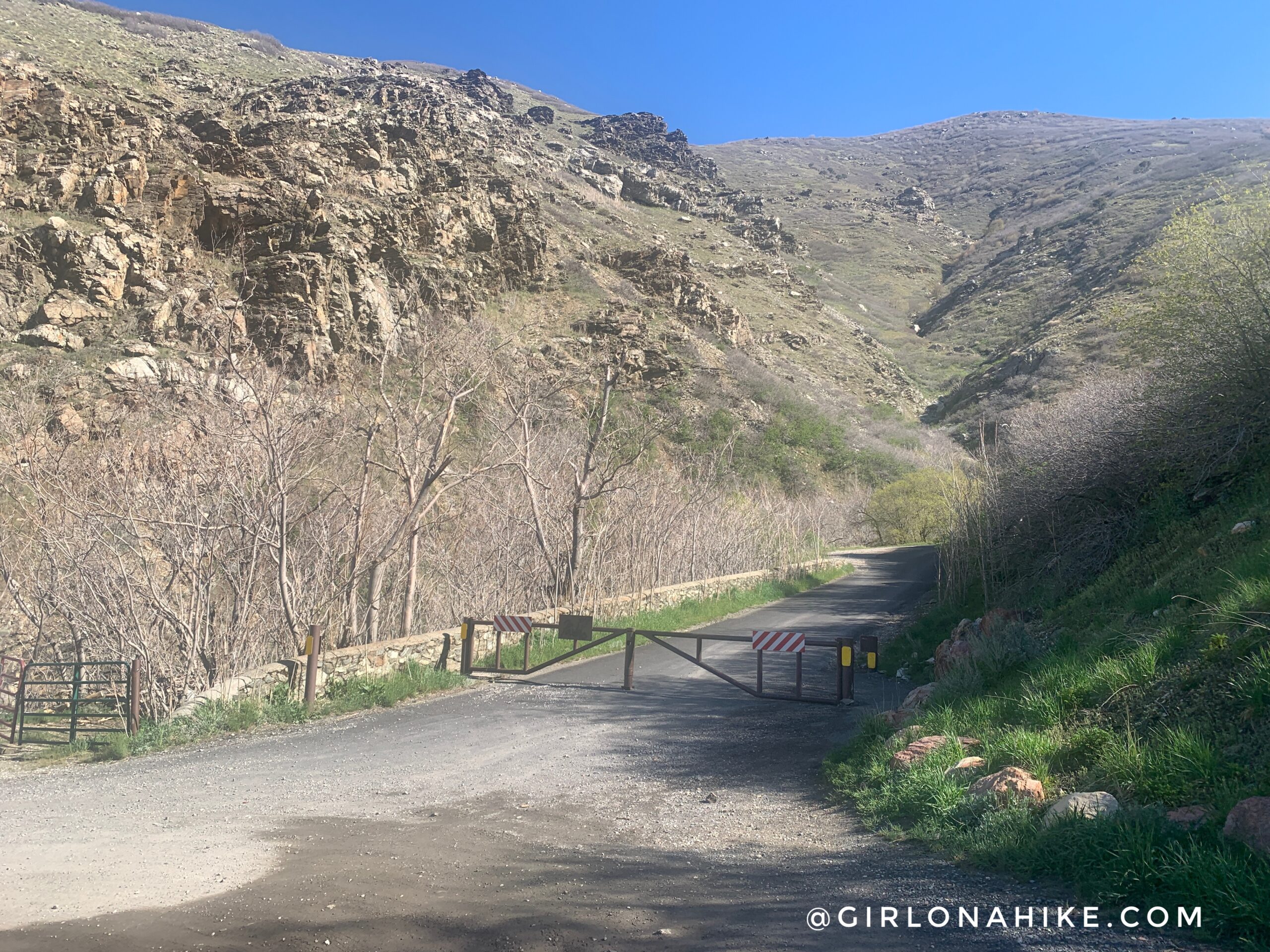
In Summer you can drive up the Farmington Canyon Road. In Winter months (typically November – June) you will need to walk the road.
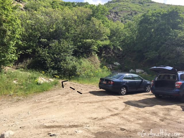
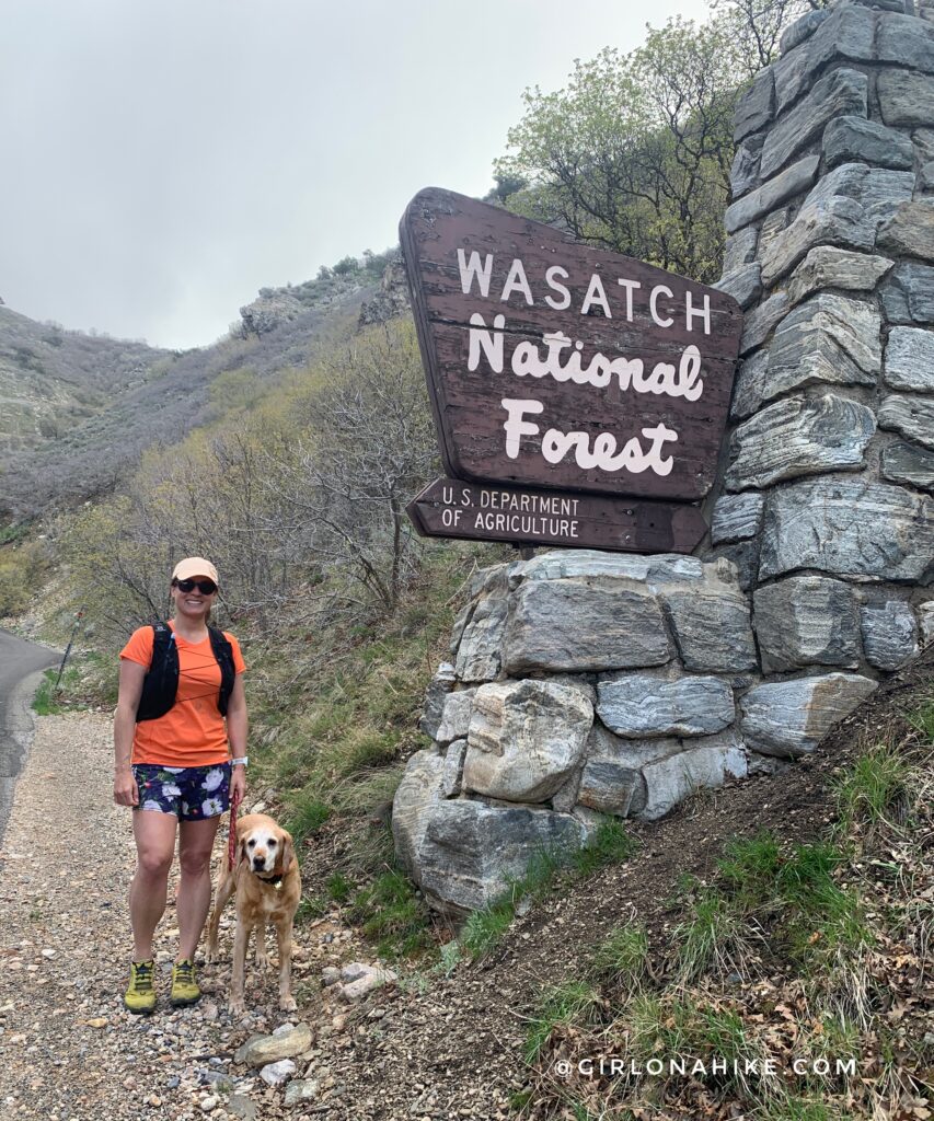
The trailhead has no signs, but starts in the NW corner of the dirt parking area.
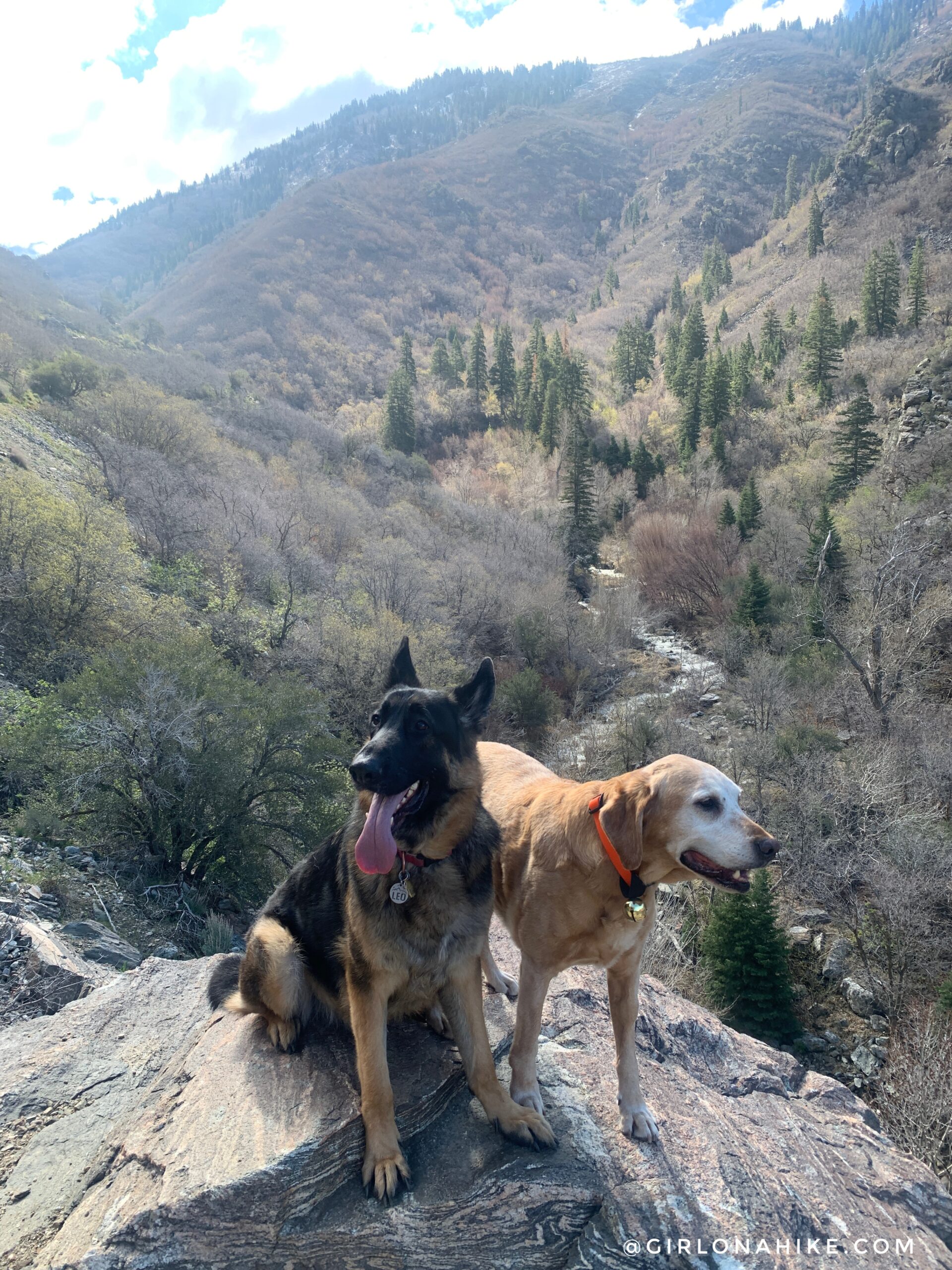
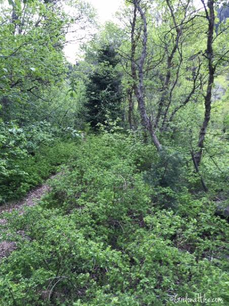
The trail immediately starts to gain elevation, but is very moderate. Most of the hike you will have a view of the creek below.

Beautiful mini flowers along the trail.
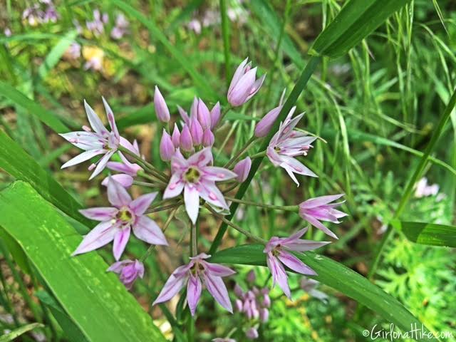
Star shaped flowers were everywhere!
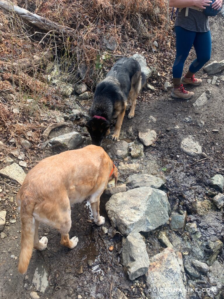
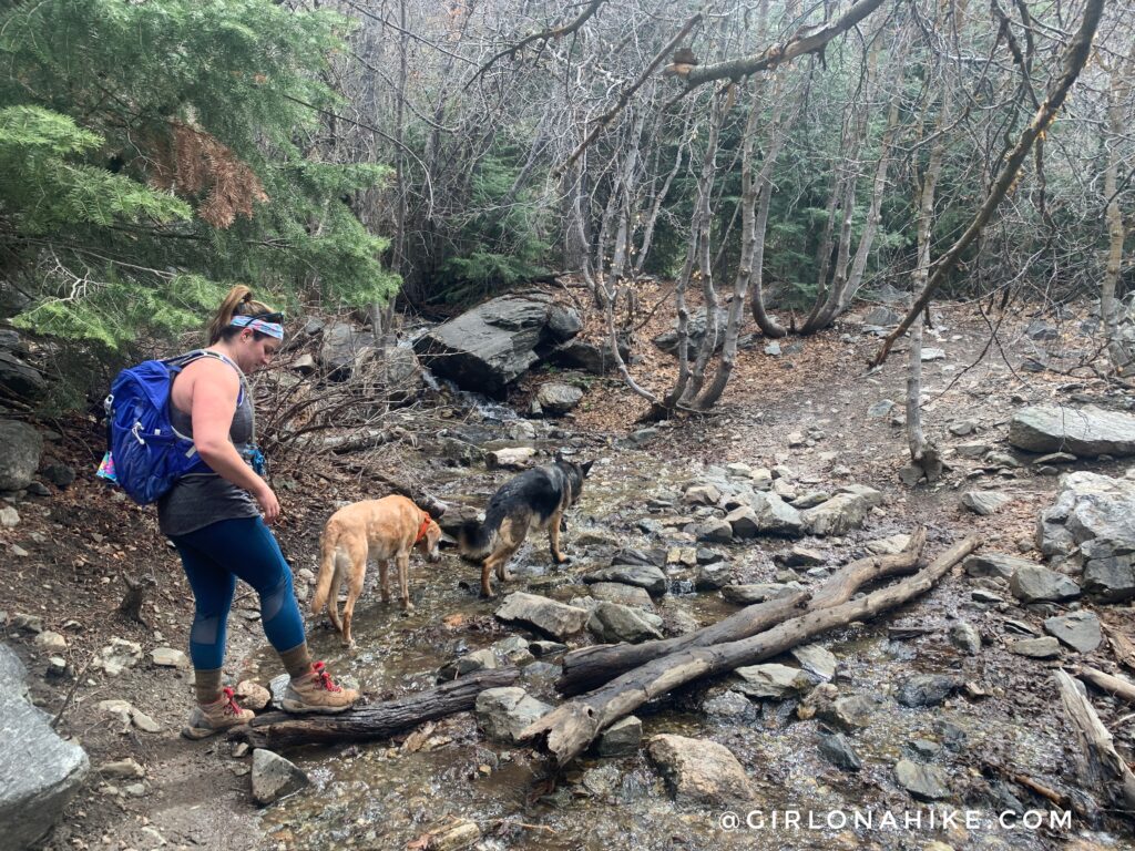
1st stream crossing.
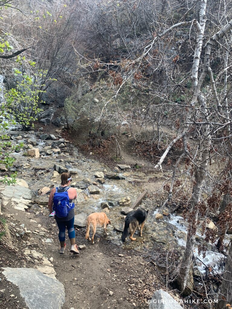
2nd stream crossing. Thankfully the water was low enough we could rock hop to the other side.
![]()
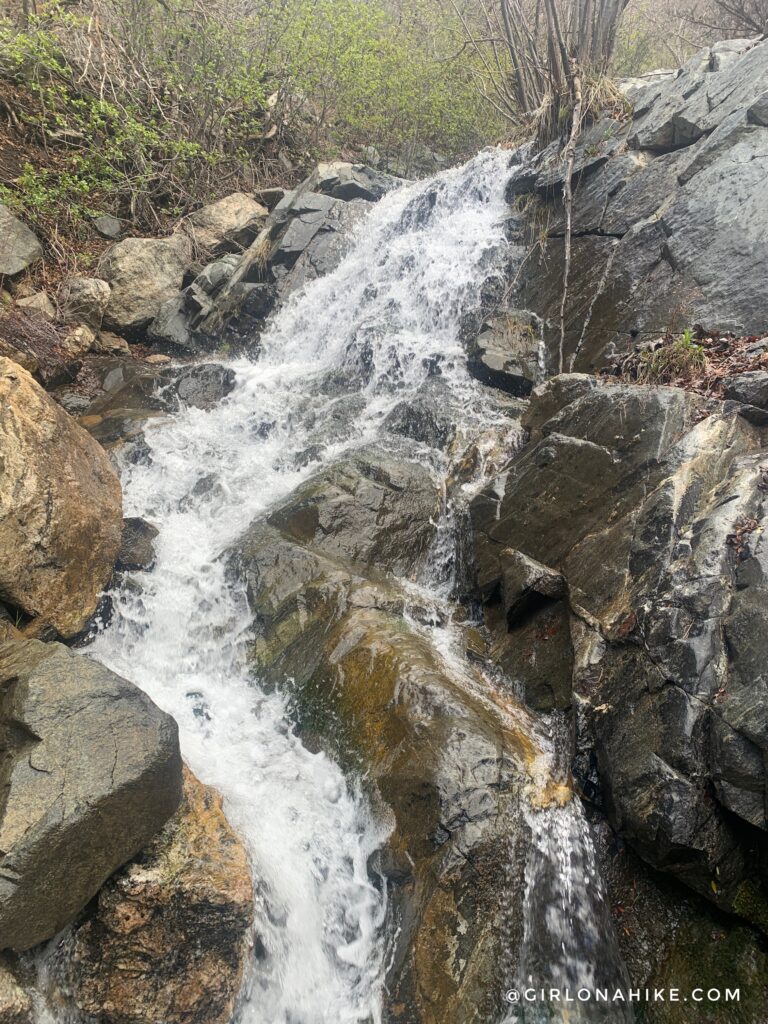
There is also a really small waterfall at this section to the left.
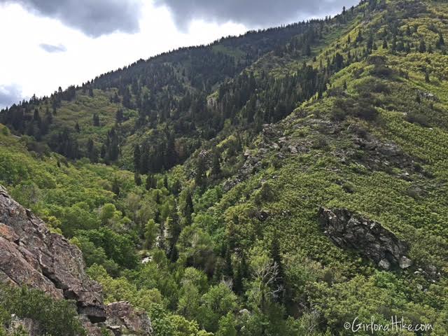
Farmington Canyon
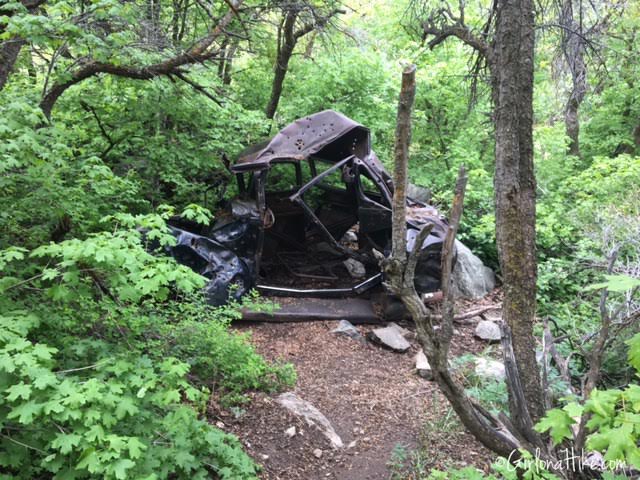
Pass the first old car about 3/4 of the way up the trail, which will be on your right.
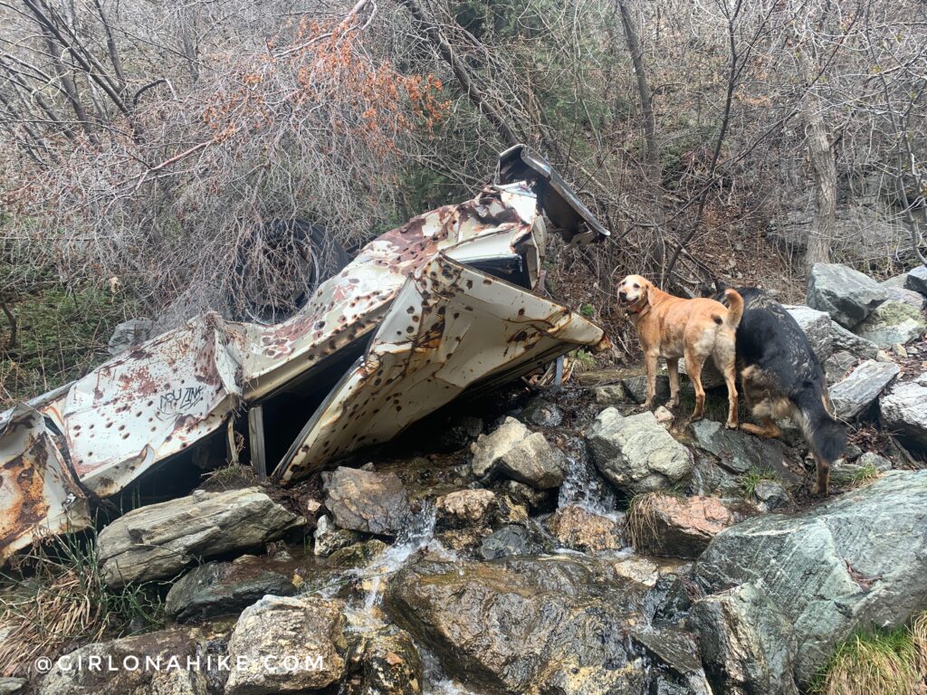
We first went left to check out the last old car we found. Charlie inspects the car for us.
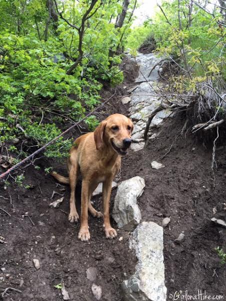
After the 3rd stream crossing, continue following the trail to the right,
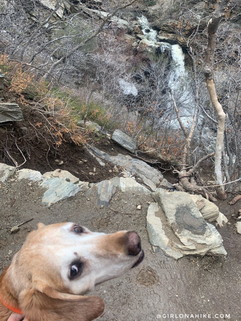
About 5 minutes past the 3rd stream you’ll see the cutoff to get down to the base of the waterfall on your right. Only hike down this if you are ok with a steep drop off and using the rope that is provided. I wouldn’t recommend hiking down this during rain or winter. It rained the day before and this drop off was still pretty slick and muddy. Charlie gives me the side eye haha!
Hiking down we went really slow so as to not slip on the wet rocks and mud.
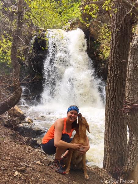
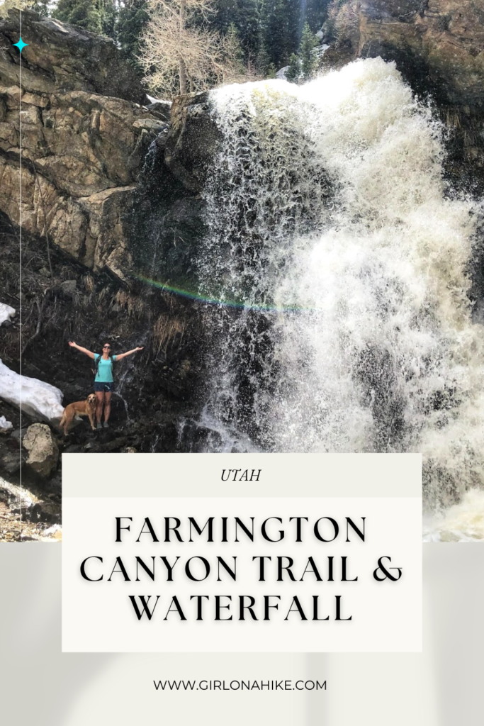
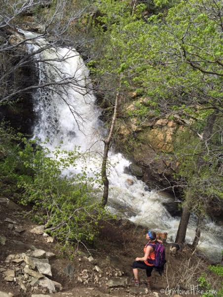
At the base of Farmington Canyon Waterfall. Because the waterfall was running really high, there was mist in the air and we got cold fairly quickly.
Charlie turned around to make sure I was hiking back up behind him. He’s a very considerate furry child! You can see that there is a rope to help hikers up and down the drop off.
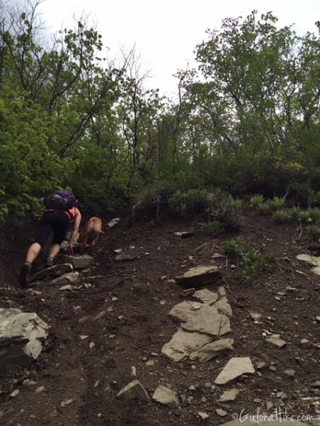
Working my way back up the steep drop off.
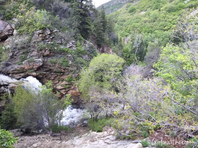
Continuing along the trail, we got to the top of the falls.
After the waterfall, the trail gets very steep the last 0.3 miles to the campground. The trail seems less traveled beyond the falls, but there it’s still easy to follow, and there’s even a sweet backpacking campsite on the right along the trail.
January 28th, 2018
Winter is also a great time to hike this trail.
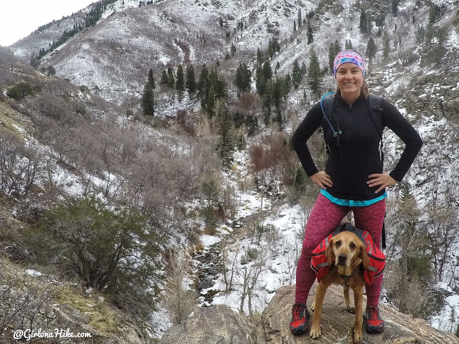
Cold and snowy!
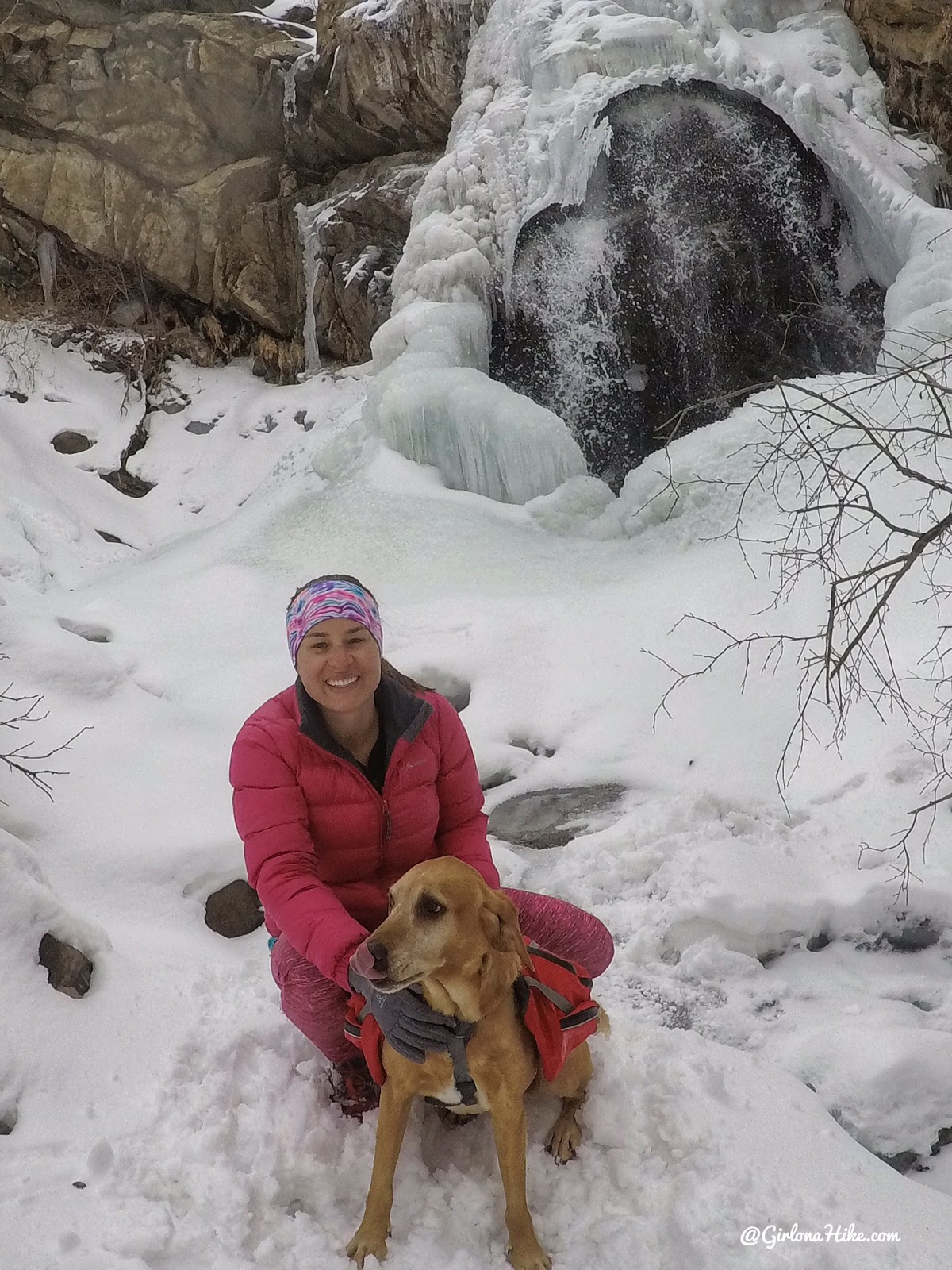
It was fun to see the waterfall frozen!
April 2019
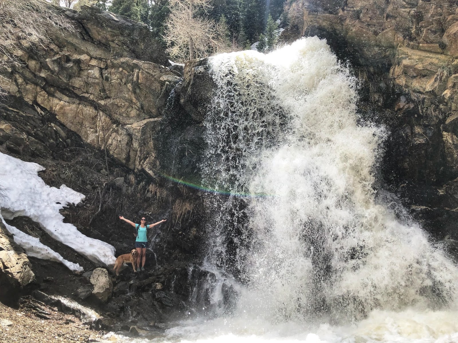
We had an amazing winter so the falls were raging!!!
Trail Map
Get the Gaia GPS app here for a discount.
Recommended Gear
Nearby Hike

Save me on Pinterest!