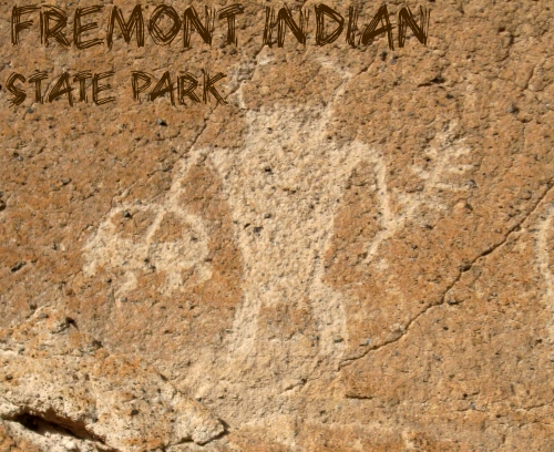
After our visit to Mystic Hot Springs, we drove west down I-70 for another 20 minutes until we reached Fremont Indian State Park. Thousands of years ago this area was home to the largest population of Fremont Indians. Many petroglyphs (engraved rock with symbols) still exists, and the park offers a small trail system to view them. Inside the museum are artifacts, a film, petroglyph tours, hands-on activities for kids, and exhibits that reveal the lives of the Fremont. The park also offers RV and tent camping, you can rent out a Tipi, and there’s also access the famous Paiute ATV Trail.
The Paiute Trail through Clear Creek Canyon was later used by Jedediah Smith when he came through around 1826. The trail was then improved to a wagon road in 1872, where a toll of 25 cents per wagon was charged to use the road for the next 25 years. Many homesteaders lived here, but construction of I-70 in the 1980s caused most of the canyon inhabitants to leave.
Directions
From SLC head south on I-15 for about 184 miles, and take exit 132 for I-70 East. Take exit 17 for the park.
Trail Info
Distance & Elevation gain: varies by trail
Dog friendly? Yes, on leash
Kid friendly? Yes
Day Use Fees: $3 person or $6/car
Camping Fees: Tent $15/night, Tipi $30/night. To make a reservation for a Tipi call 435.527.4631
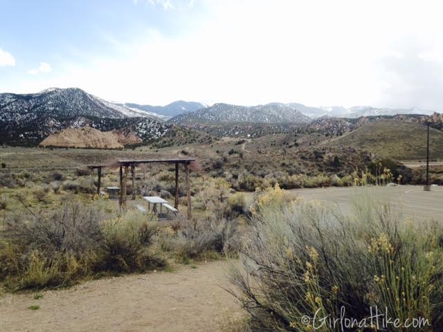
View of the parking lot and picnic area.
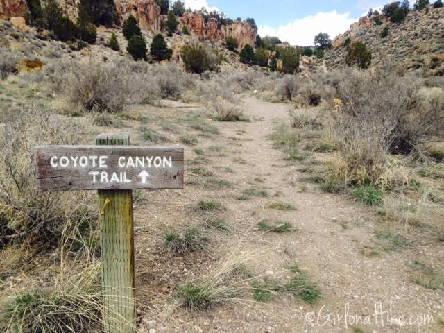
We decided to take the Coyote Canyon Trail, which begins in the NE corner of the main parking lot by the picnic tables.
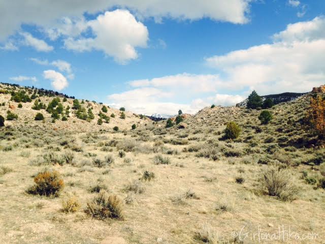
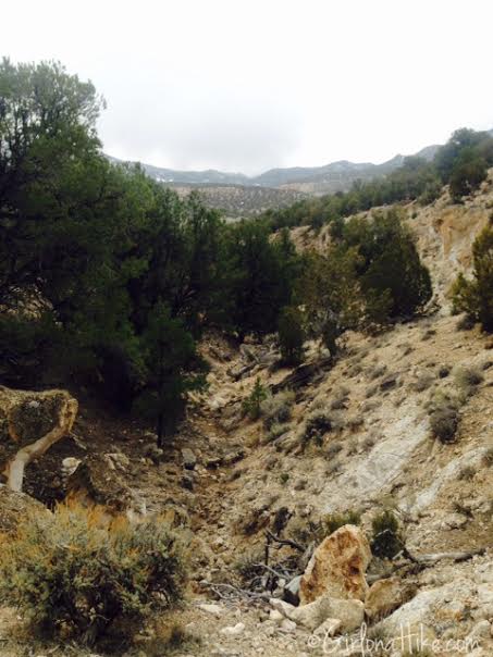
The trail follows a shallow, wide canyon, with no shade.
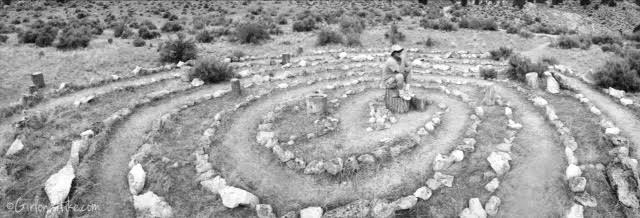
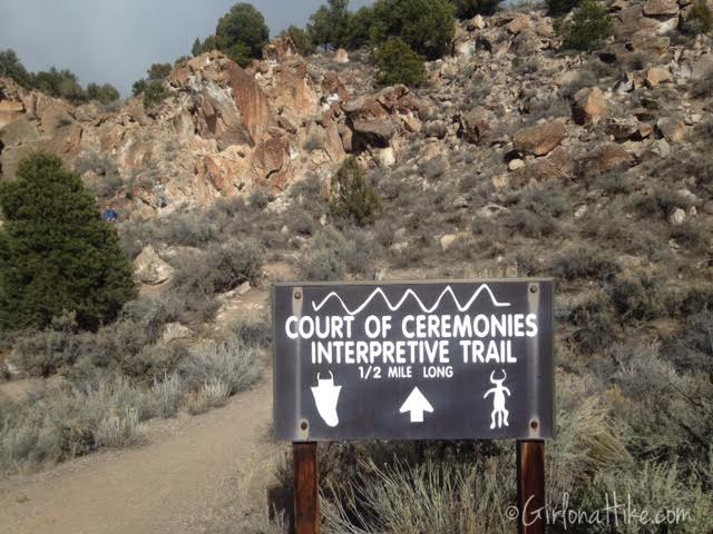
About 15 minutes into our walk we came upon the Court of the Ceremonies. According to the Paiute’s, this was used for initiations in the Fremont tribe. Here, my friend Scott, contemplates life…
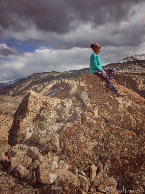
Along the trail are a few rocky overlooks. The Indians used these to perch above the canyon so they could look upon their village and protect families. The view of the Tushar Mountains was gorgeous along the whole trail, but this overlook was fantastic.
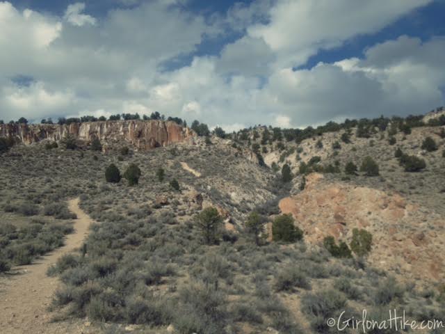
Making our way up the canyon, heading North. Several Junipers & Pinyons were appearing as we got higher. The Pinyon is the taller tree which produces the Pinyon nut in early fall; the Juniper has gnarled branches and roots. It is ironic with Utah’s liquor laws, that Juniper is probably the most common tree in the state, and the only commercial use for it is flavoring Gin.
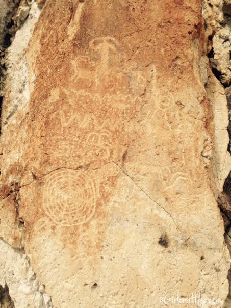
Several walls have petroglyphs. Not all of them are pointed out by the park, so keep an eye out for them.
We made a loop by walking down this little canyon. As we walked further down, the canyon walls got bigger, probably around 60-70 ft. Petroglyphs are scattered in this canyon.
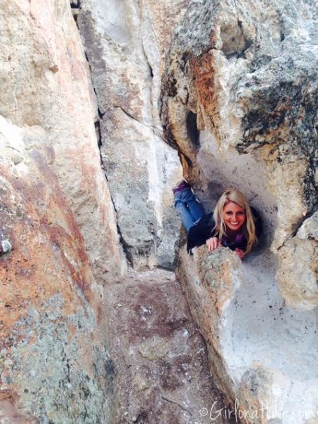
Margaret found a cubby hole to lay in.
We ended our walk at the Interpretive Trail. Most people start the hike here; we went opposite. We also went further than 1/2 mile.
Trail Map
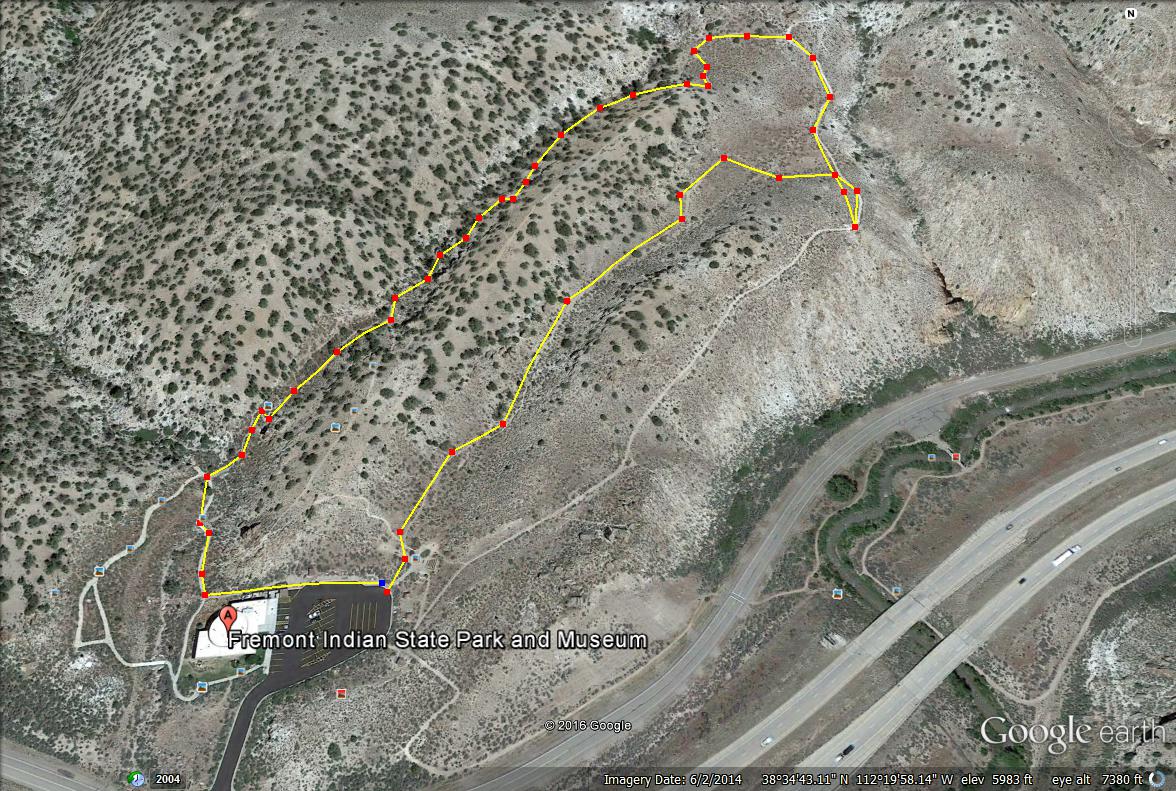
Here is a map of the small loop we took, was 1 mile long. This trail is more about the exploring of the area and canyons rather than getting a workout in.
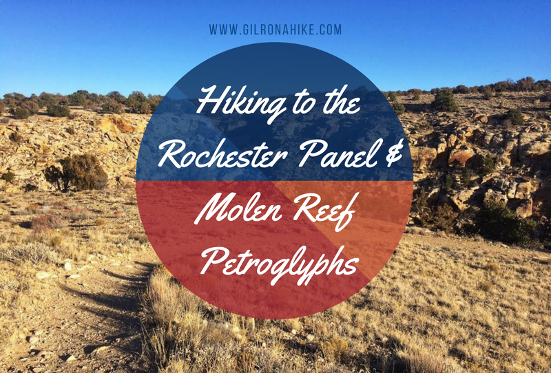
Nearby Hike
Hiking to the Rochester Panel and Molen Reef Petroglyphs