About
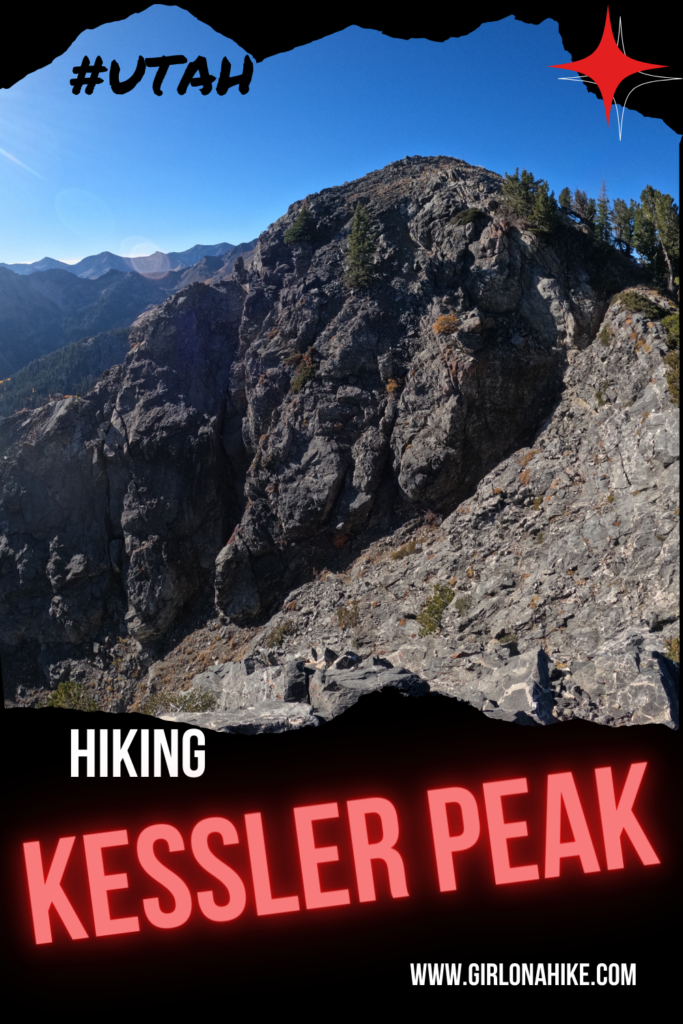
Hiking to Kessler Peak isn’t for the weak – this super steep hike is sure to give your legs a workout. It gains roughly 1,200 ft per mile! Because most of this hike follows the trail on the north face of Kessler Peak, it is almost all in the shade. There are no signs for this trail anywhere, but it starts and ends and the very popular Donut Falls Trailhead.
This is not a family-friendly hike and dogs are not allowed due to watershed rules. Hiking poles are very helpful on this trail if you have a pair. The best time of year to hike Kessler Peak is Summer & Fall, when the trail is dry and free of snow, and the Fall colors dot the landscape.
Directions
Drive up Big Cottonwood Canyon (BCC) 8.9 miles, and look for the Donut Falls TH sign and the very large parking lot on your right. July 1st through October 31st, you can drive right up the the TH, which is an additional 0.8 miles along a dirt road past the large parking lot. In winter, you’ll need to park before the gate, and walk up to the TH, though I don’t recommend summiting Kessler Peak in Winter due to avalanche danger. Restrooms are closed during Winter. Here is a driving map.
Trail Info
Distance: 5 miles RT
Elevation gain: 2,900 ft
Time: 5-7 hours
Dog friendly? No, dogs are not allowed in BCC
Kid friendly? No
Fees/Permits? None
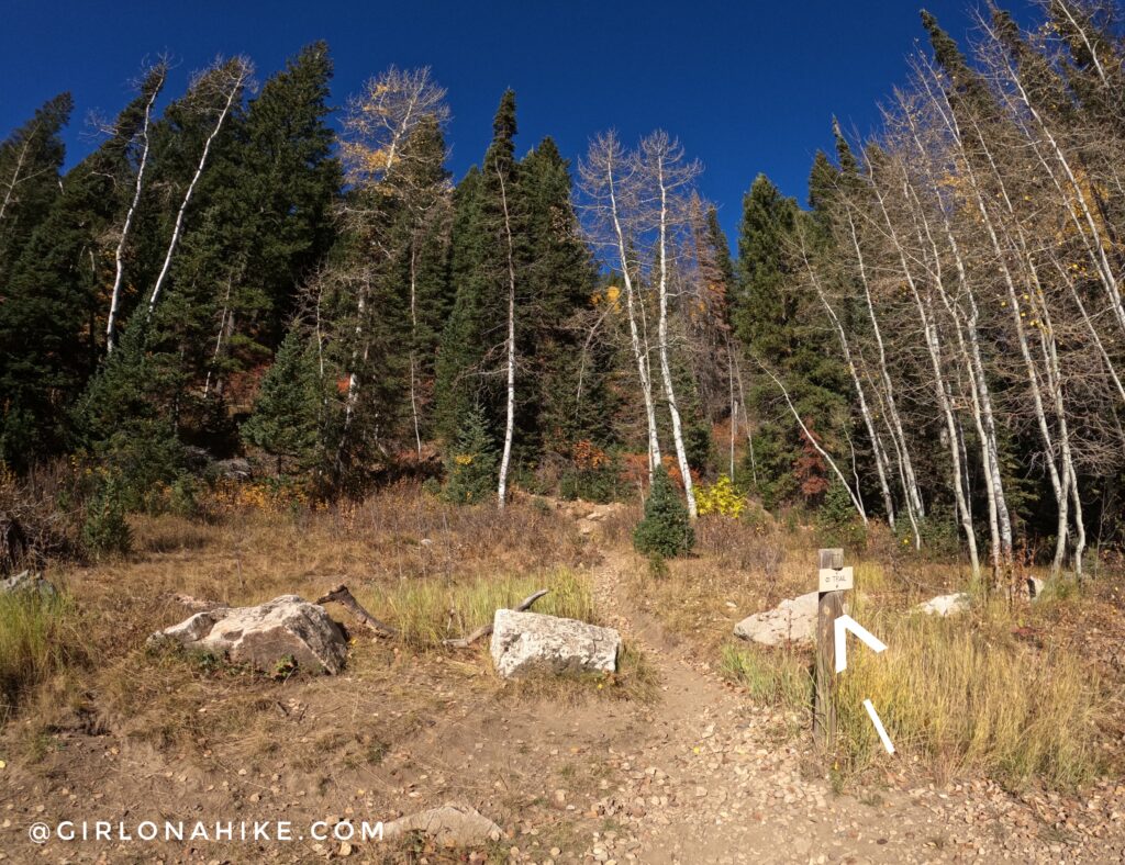
In summer there is a second gate that doesn’t open until 7am. If doing Kessler Peak super early to beat the heat, you will have to park at the main lot. As of 2022, there is now a new connector trail to reach the actual Donut Falls Summer Trailhead. The sign says to use this trail to avoid walking on the road. Some people just can’t read though…
The sign says it’s 1.5 miles to the Donut Falls TH, however, I tracked only 0.93 miles one way.
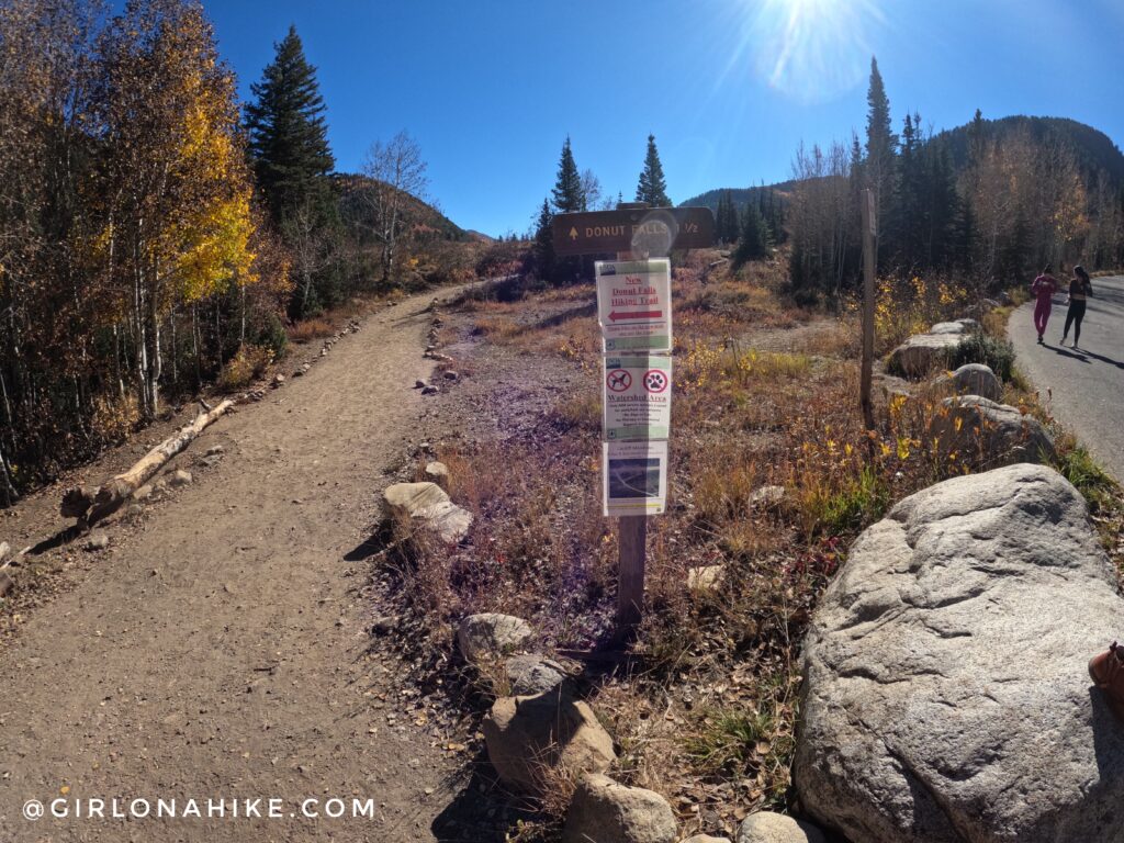
Follow the trail signs for Donut Falls, as you hike up one small switchback. The new connector trail gains about 200 ft so its pretty flat.
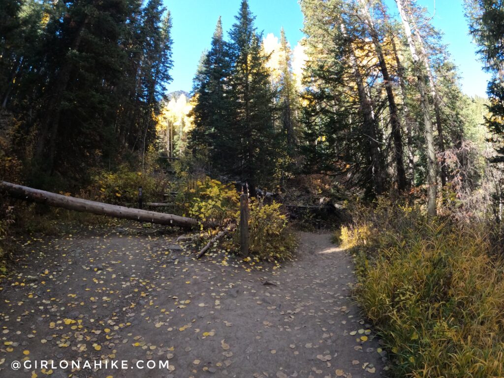
Pass the official Donut Falls TH and summer parking (there is a restroom there). The trail at the beginning is very wide and worn down from heavy traffic from the thousands of people hiking to Donut Falls every weekend.
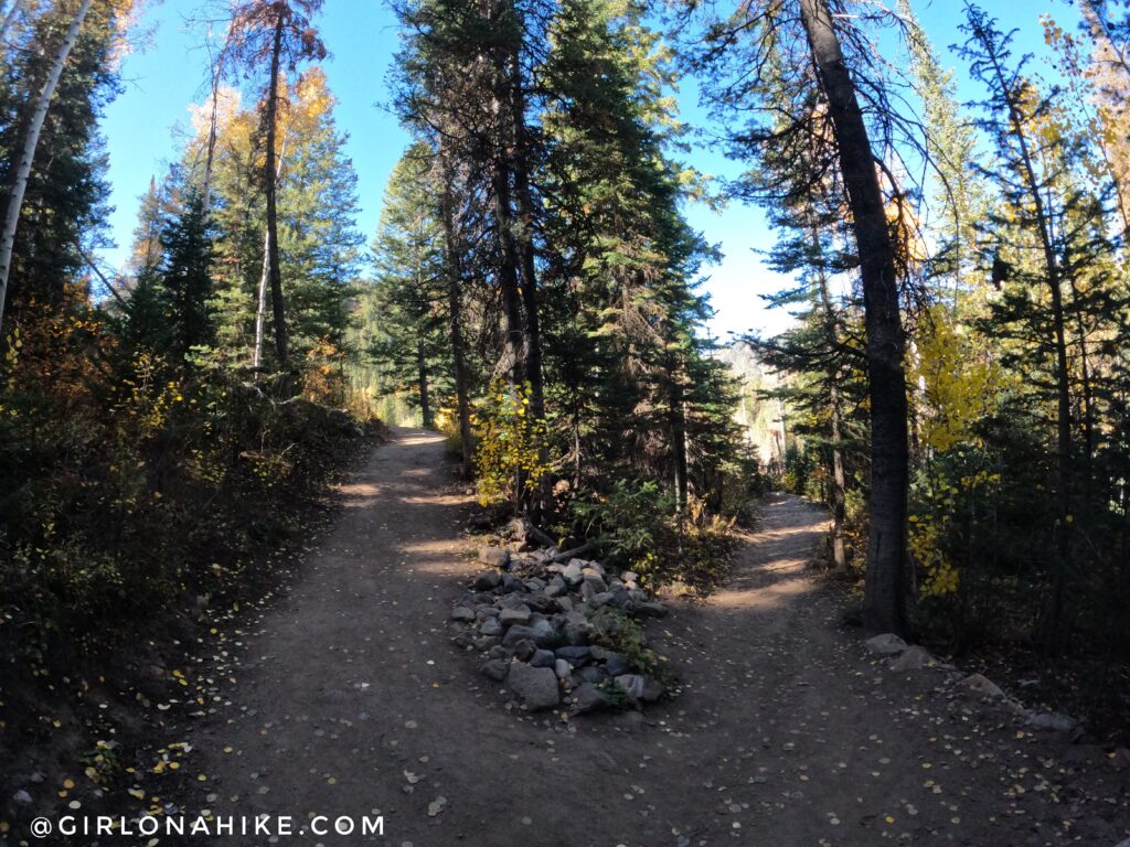
Just after you cross the bridge, you see a sign pointing left – this will take you to Donut Falls. Instead, go straight beyond this sign for about 15 ft until you reach the old jeep road, and turn left.
Walk up this old jeep road (aka Cardiff Road) for about 200 yards, keeping an eye out for a trail leading up and to the right (West).
This is your turn off for Kessler Peak. Again, it is not signed – just keep an eye out for this trail. There may or may not be a cairn there, but you can’t miss it.
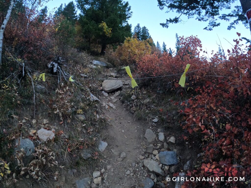
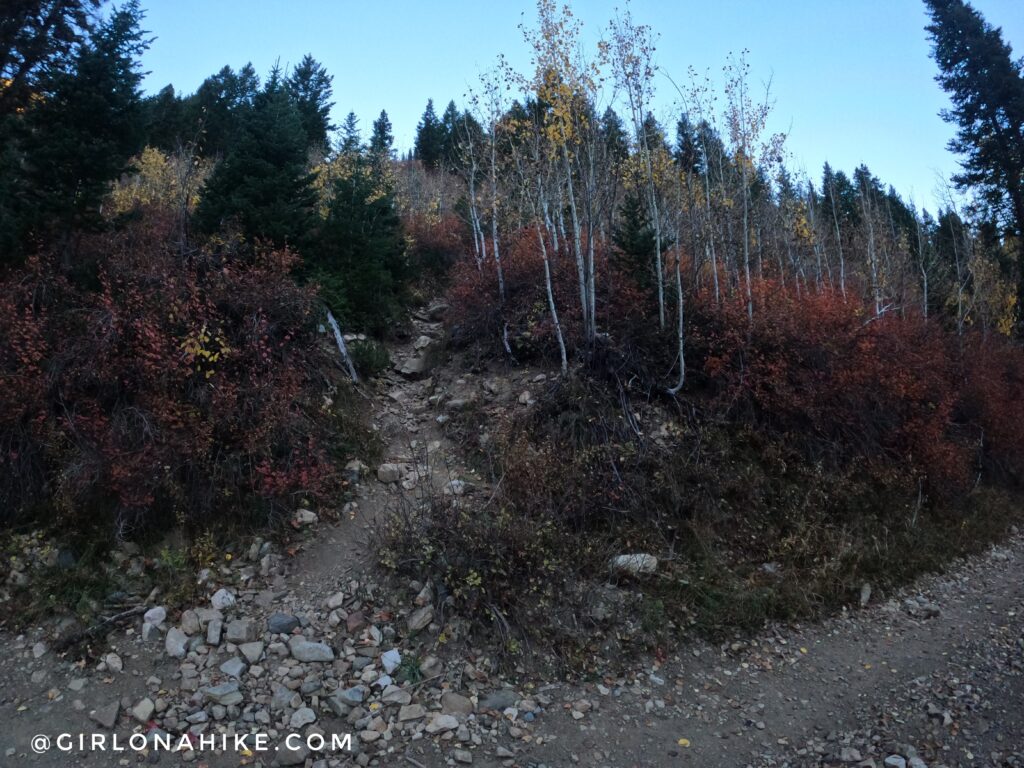
You will see a No Trespassing sign and rope, however, this is a public easement. As long as you stay out of the nearby properties, you are allowed to hike here. Now the elevation gain begins!
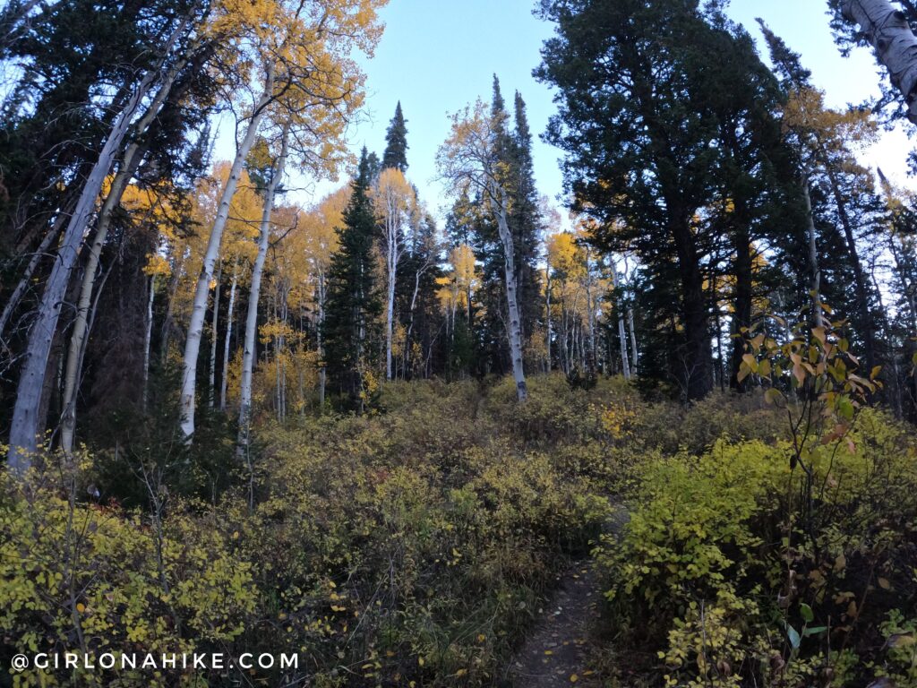
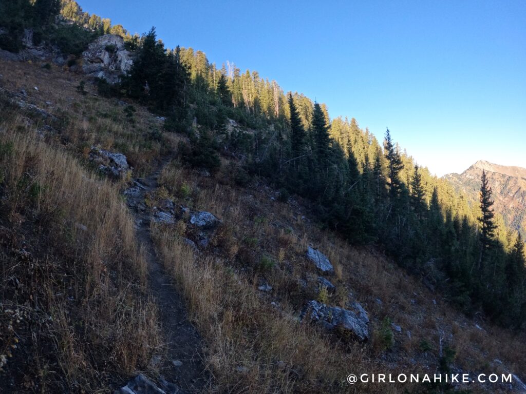
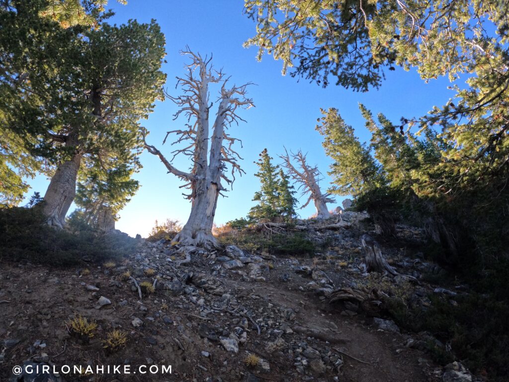
The trail immediately starts to gain elevation, and leads through some beautiful Aspen groves and open meadows.
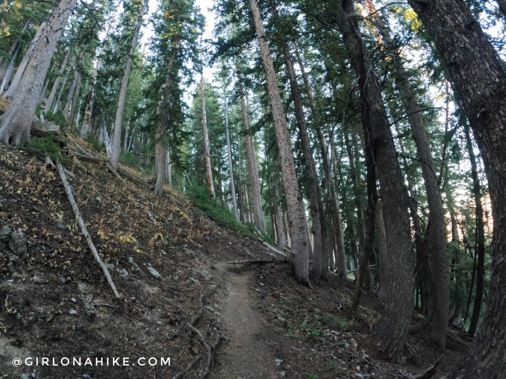
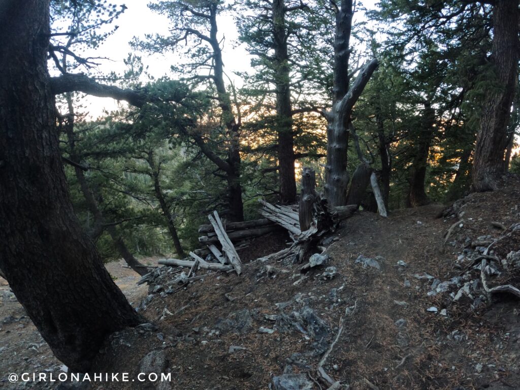
It is well-defined and you can’t get lost, but sections will be super steep. The trail curves around the North face of Kessler, and eventually wraps its way around the mountain to the West.
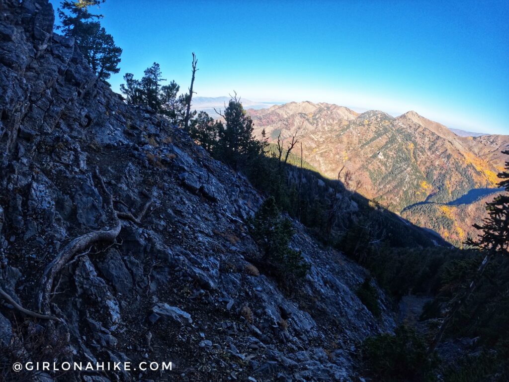
Around 9,000 ft the trail levels off slightly and traverses across a gully above this large open area known as “God’s Lawnmower” to backcountry skiers. It is an avalanche path, so only experienced backcountry skiers should attempt exploring this area during Winter with the proper gear. You can read about skiing it here.
When hiking across this path, you should clearly be able to see the parking area for the Butler Fork Trailhead along the road, which leads to Mt.Raymond & Gobblers Knob.
Crossing God’s Lawnmower avalanche path. You’ll see that many of the tress are only half grown, and tree stumps curve out from years of heavy snow and avalanches.
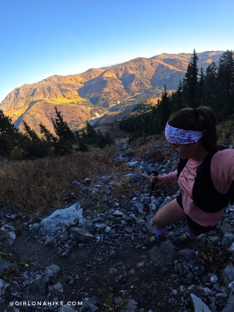
The West facing slope is the steepest section yet, gaining 800 ft in just 0.6 miles! Pass this old cabin on your right.
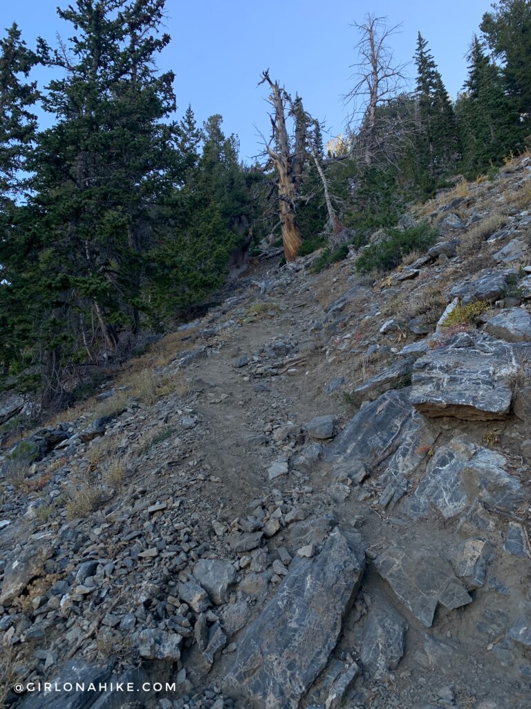
Another very steep section, this time with loose rock.
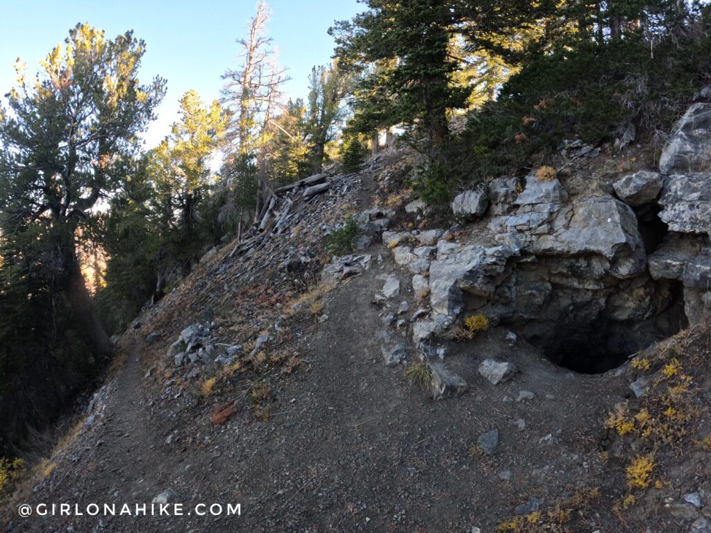
On some maps you will see a “Tunnel” marked near the ridge. Once you see this old mine, you are very close to the ridge!
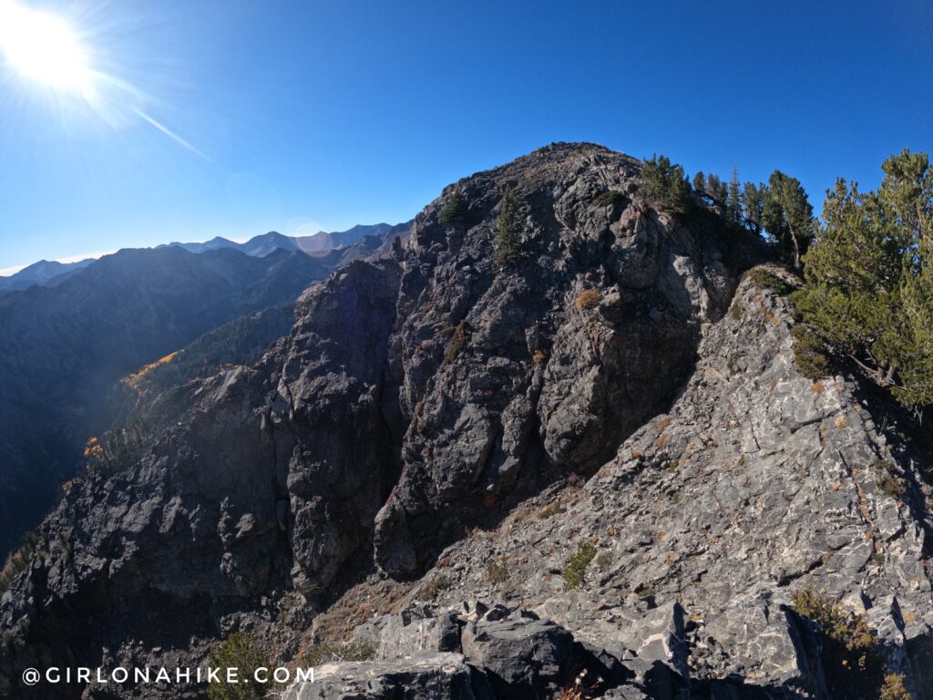
Approaching the main ridge.
Ah, finally on the ridge. Continue right (south). Once on the ridge, you are about another 15 minutes away from Kessler Peak.
So close to the summit!
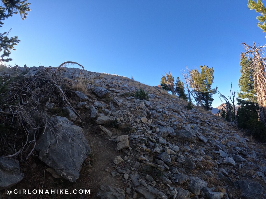
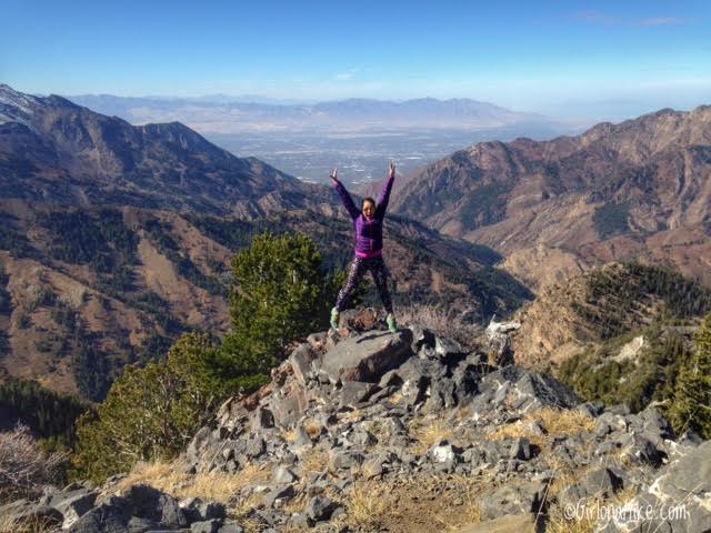
Kessler Peak finally in view! Whoo hoo!
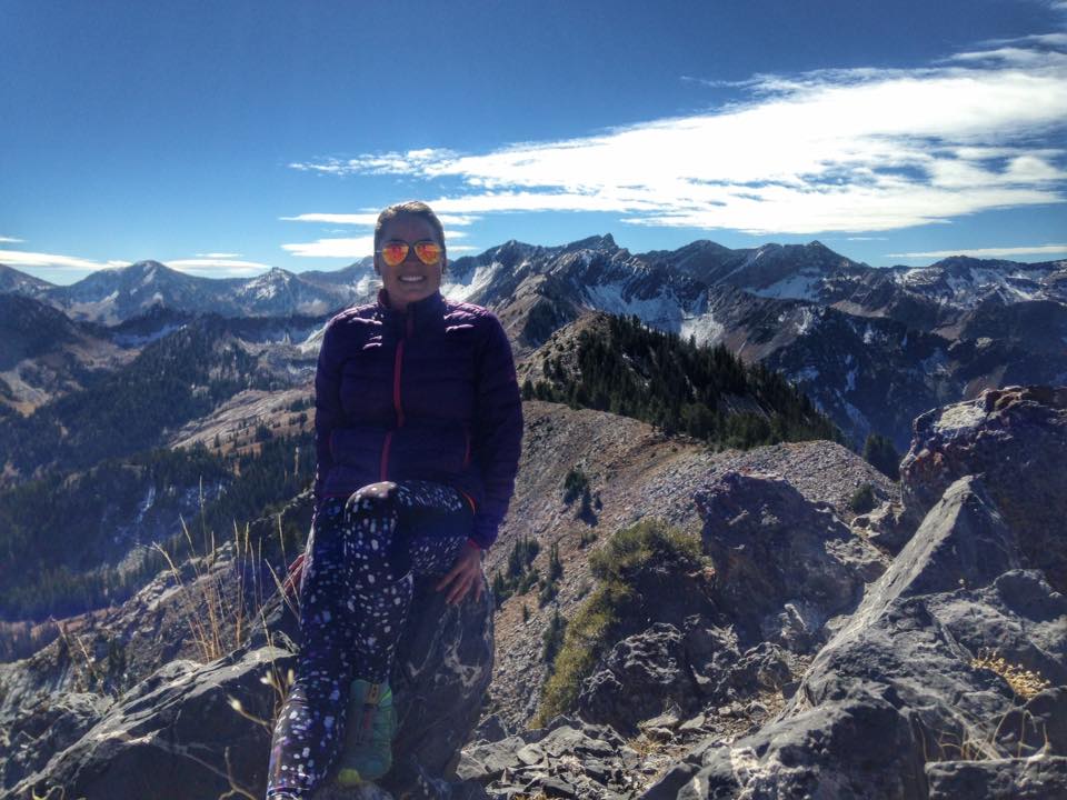
My first time on Kessler Peak in 2016, with Cardiac Ridge behind me. It was much colder!
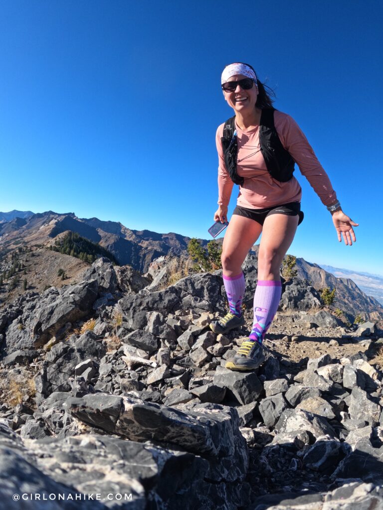
And my second time on Kessler – 2022! From hiker to trail runner!
Both times I did this in October and I think its the best time to go. Compression socks are super helpful and great for speeding up recovery, increasing blood flow and oxygen to the legs on hard stuff, and not feeling as sore!
This is one of the steeper hikes in the Wasatch. Read about the Top 6 Steepest Hikes in the Wasatch!
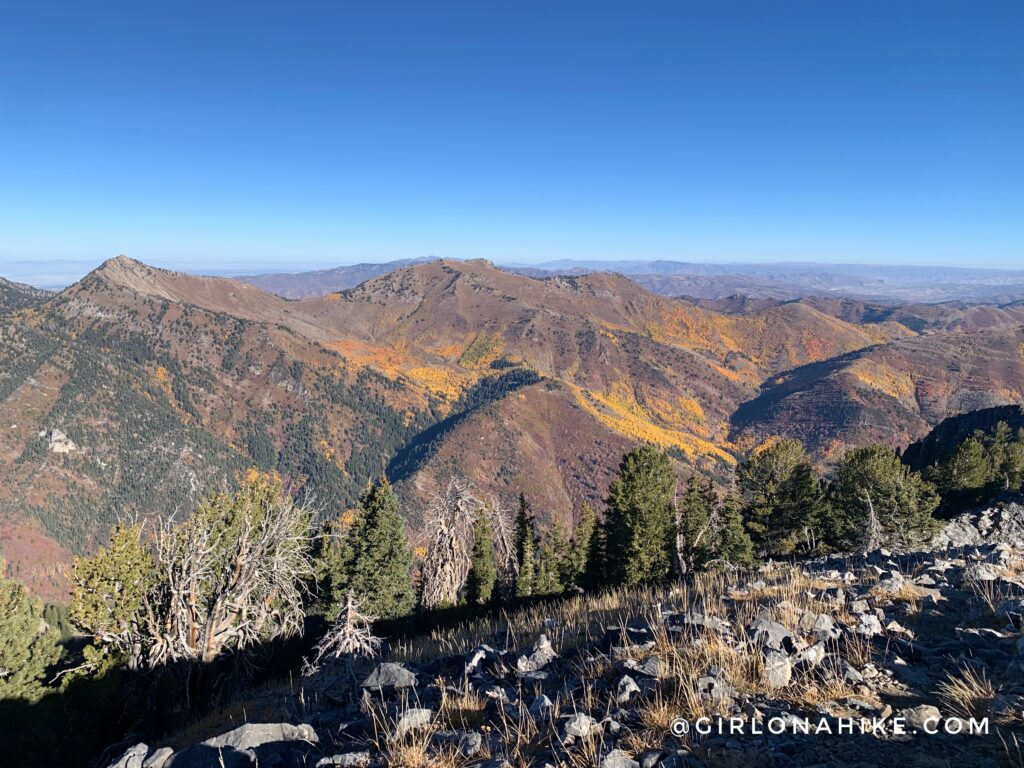
Another 2016 photo. Looking West, you can see down to SLC and on a clear day, the Oquirrhs and possibly Deseret Peak. You know when you drive East along I-215 and there’s a mountain directly above in the middle of the canyon? You’re looking at Kessler Peak! Every time I drive home I have looked at this peak for several years and have thought to myself, “I need to hike that!” Finally, I did!
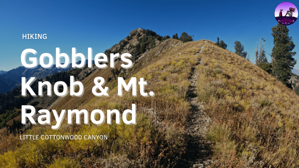
My favorite view of Mt.Raymond & Gobblers Knob.
Check out my video!
Trail Map
Recommended Gear
Nearby Hike
Hiking Mt.Raymond & Gobblers Knob

Save me on Pinterest!