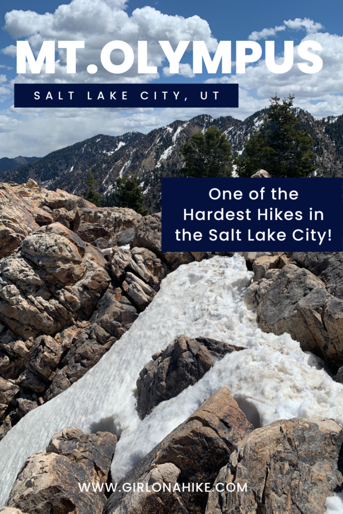
 Mt. Olympus (9,030 ft) is the prominent peak above Murray/Millcreek, Utah and is recognizable from anywhere in the SLC valley due to its two long, rocky spines on the West face.
About
Tips for hiking Mt. Olympus
Dogs are allowed off leash on this trail; however, I only recommend that dogs who have experience hiking in this kind of terrain, steepness, and mileage go. Dogs also need to be fairly comfortable hiking up the last 600 feet, which is a class 3 scramble. If you bring your dog, bring plenty of water, as there is only one water source at the first stream 2 miles in.
Directions
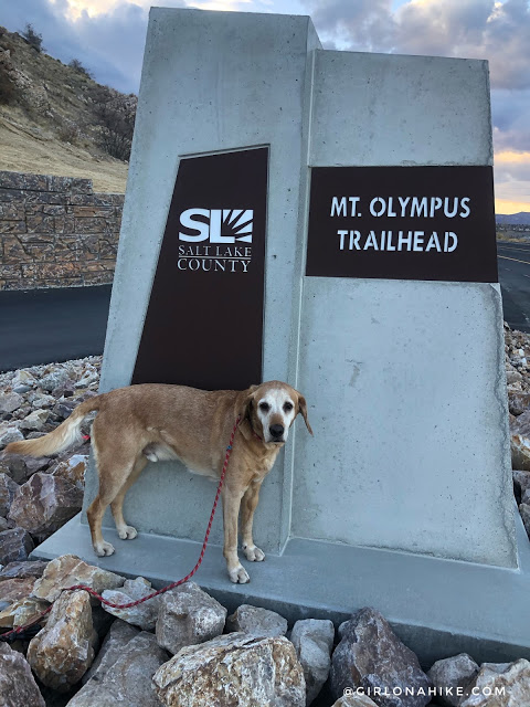
From SLC head east on I-80 then than I-215 south. Take exit 5 for 4500 South, and turn right. At the next stop light (Wasatch Blvd) turn right. Drive south for 1.5 miles, then look for the left turning lane that takes a very sharp left turn uphill, which leads you into the parking lot. If this lot is full, you can also just park along Wasatch Blvd then walk up to the TH. Here’s a driving map.
Trail Info
Distance: 7 miles RT
Elevation gain: 4,100 ft
Time: 6-8 hours
Dog friendly? Yes, off leash
Kid friendly? No
Fees/Permits? None
The new parking lot was finished Summer 2020.
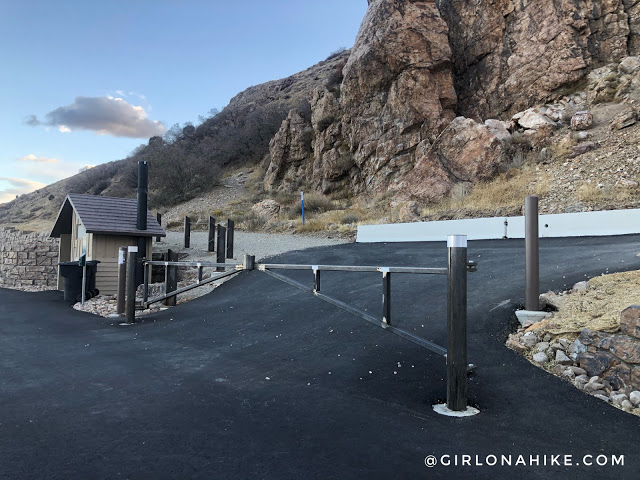
Now you enter the parking area as a one-way road, entering from the South end. There is now also a port-a-potty.
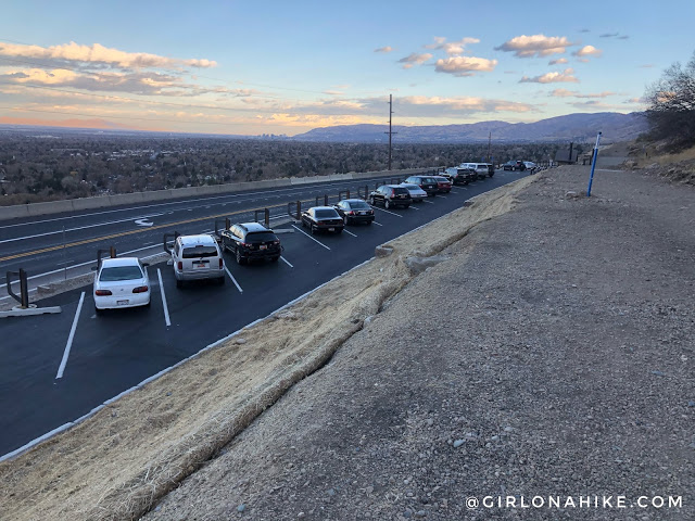
New parking area from above. You can still park along Wasatch Blvd, and especially in summer you will have to due to the popularity of this trail.
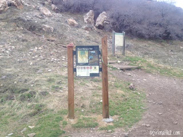
The trail begins right from the parking lot. If you parked along Wasatch Blvd, you’ll need to hike up to the official TH.
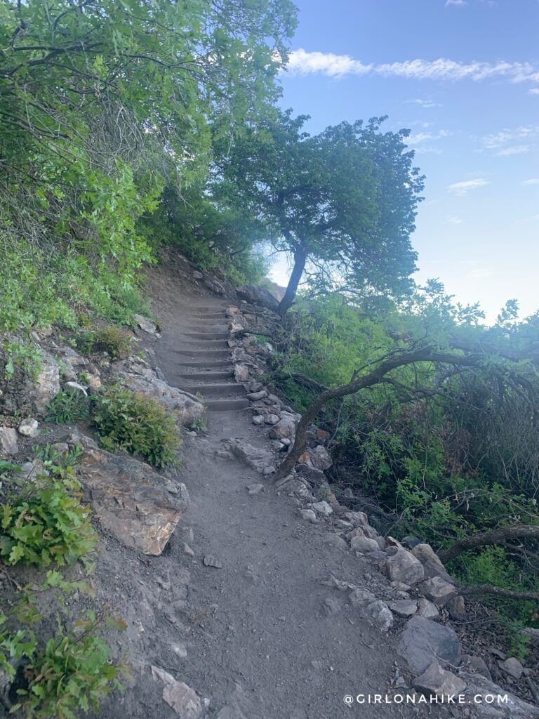
Your heart gets pumping very quickly as you make your way up the stairs.
The trail was re-routed in 2022 to add a new switchback at the very beginning.
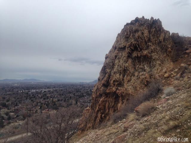
You’ll hike past this rocky outcropping, popular for people working on their rappel skills. Stay right.
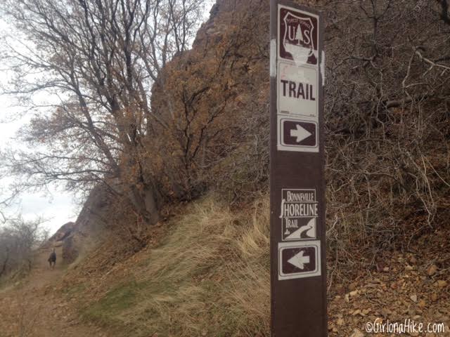
Follow the main trail, and within 10 minutes you’ll see your first trail split sign – turn right up the switchback. Hiking straight/left follows the Z-Trail/Bonneville Shoreline Trail (BST), and leads you over to the neighborhood below Neff’s Canyon.
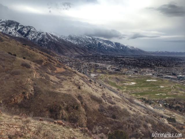
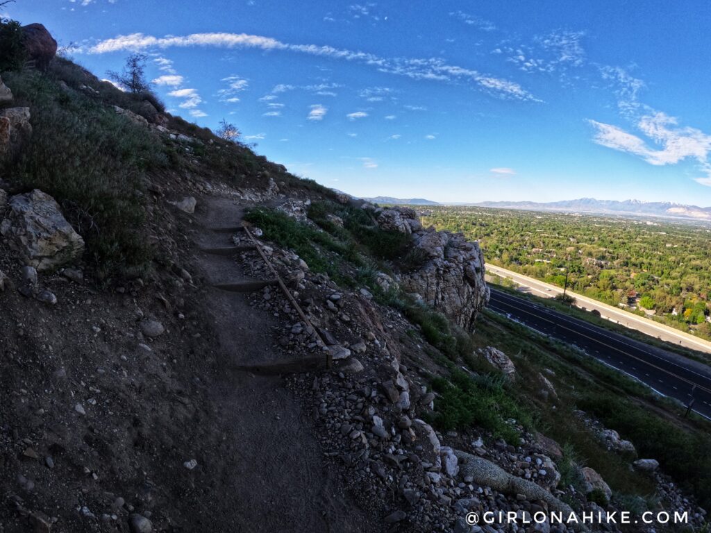
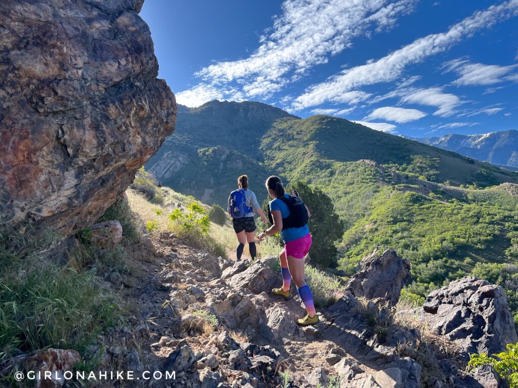
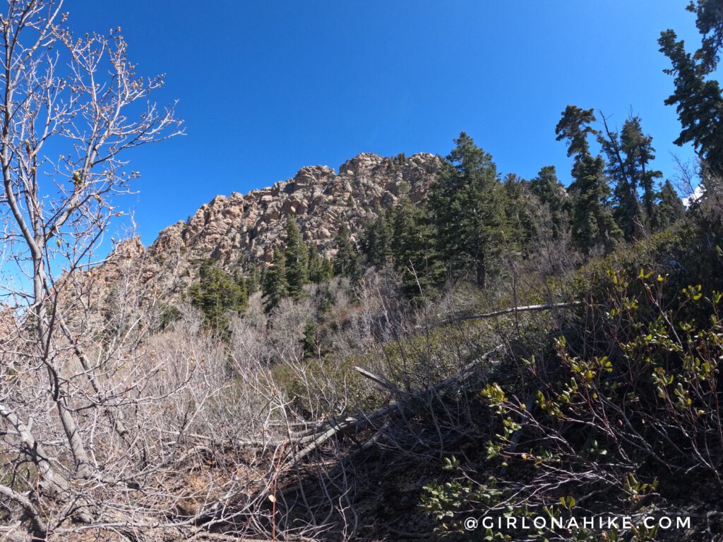
The trail offers pretty amazing views the entire time. This is looking South towards Cottonwood Heights.
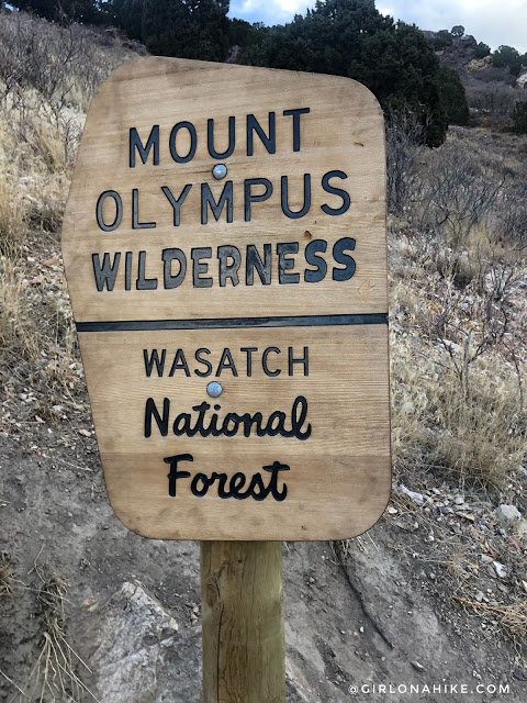
Pass the official Mt. Olympus Wilderness sign.
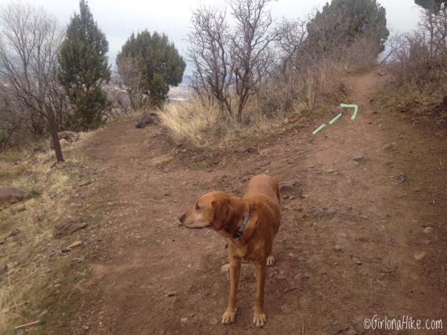
You’ll come to another trail split area with a sign. Stay right again. Going left will connect back down to the Z-Connector Trail.
What a great day for a summit!
The trail briefly flattens out just before the stream.
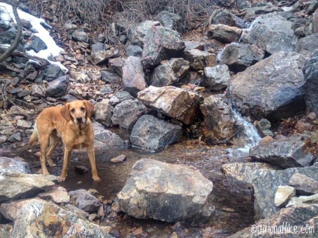
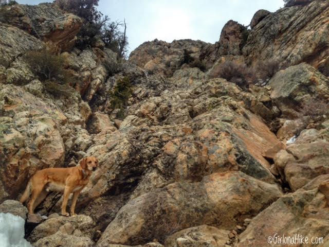
At 2 miles, you’ll cross the first stream. This is a great place to take a quick break and let the dogs drink. This stream is usually dry by Mid-summer.
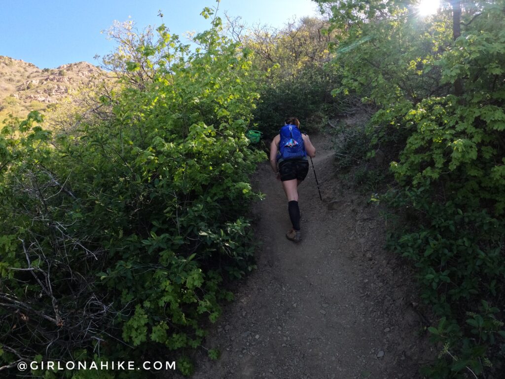
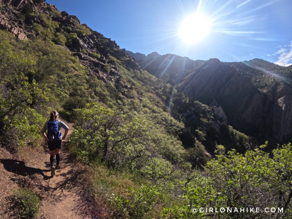
After the first stream is where the trail begins to get even steeper. Hike up roughly 20 steep switchbacks.
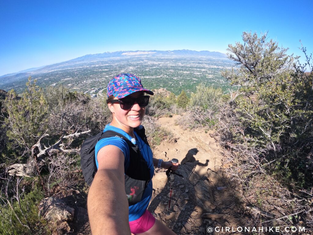
Don’t forget to look back down to SLC! Such a great view.
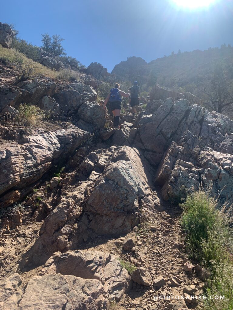
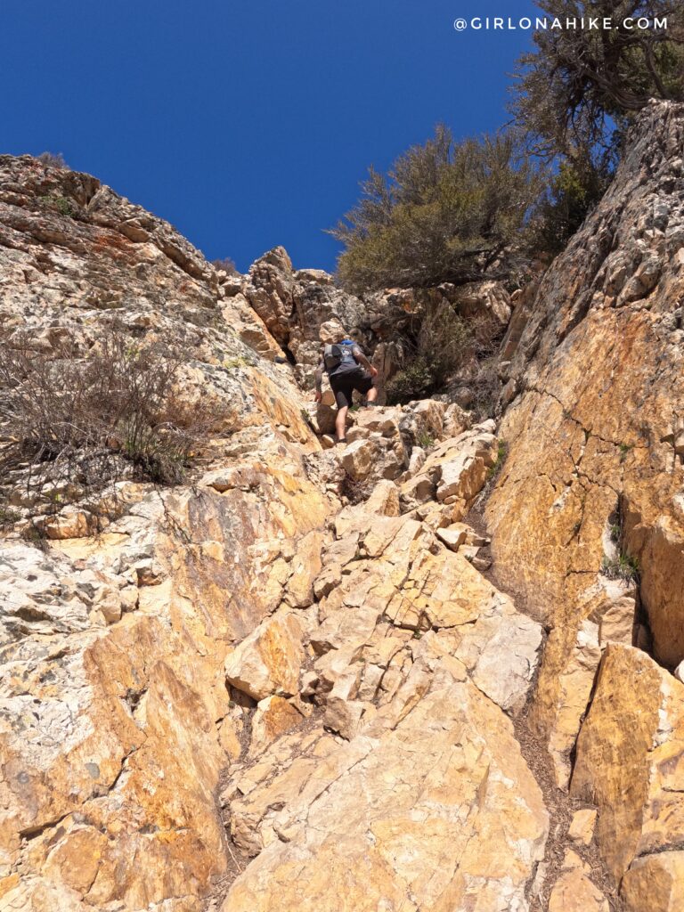
Now the giant rock steps begin.
The last 1/3 mile is the steepest yet.
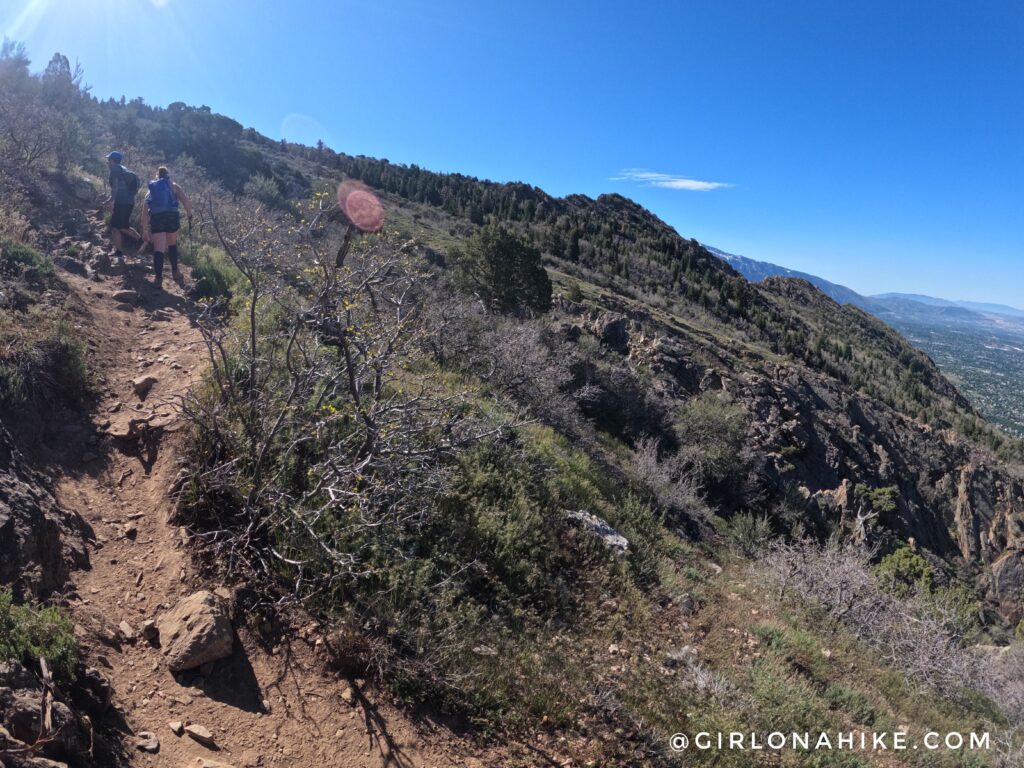
Finally, a good view of where we are headed.
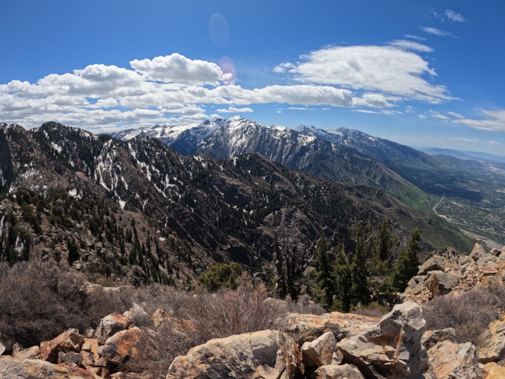
Finally at the saddle! Whew, what a great view of Broads Fork Twin Peaks and Lone Peak in the distance!
From the saddle, stay left.
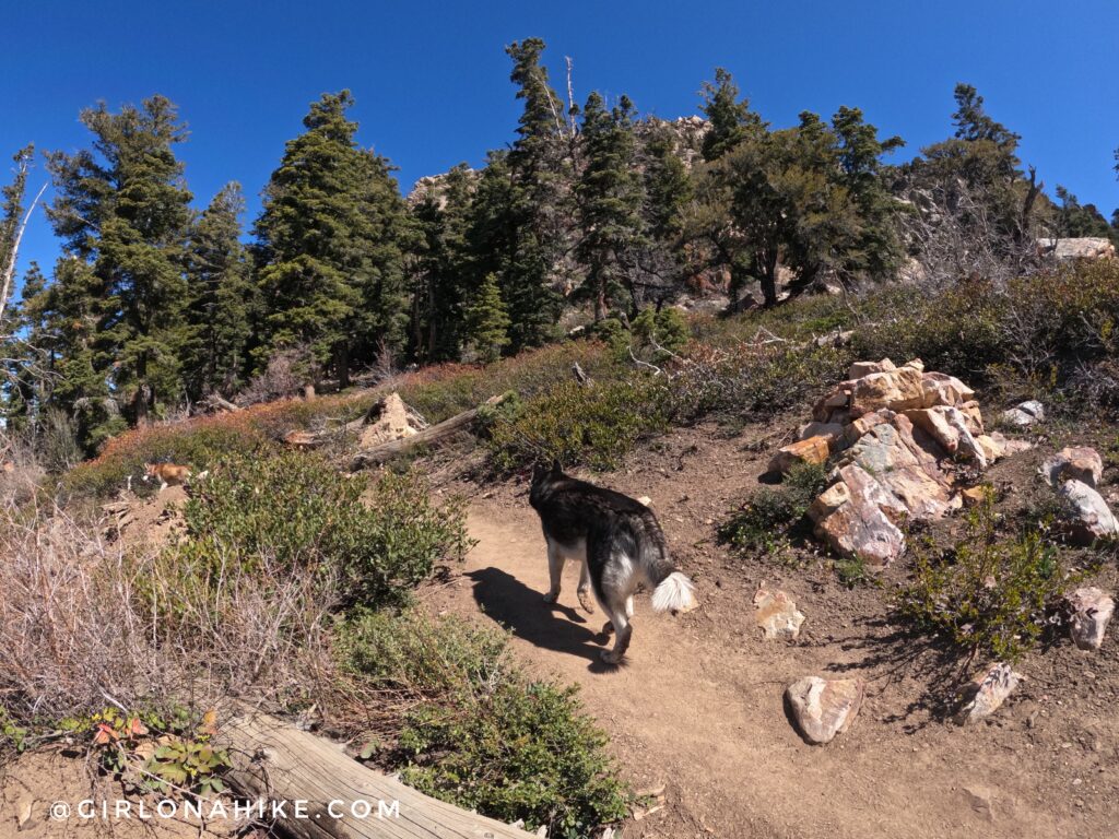
From the saddle, turn left and continue following the trail as it leads you to the base of the class 3 scramble. The dogs all did great, and only needed a boost in two sections.
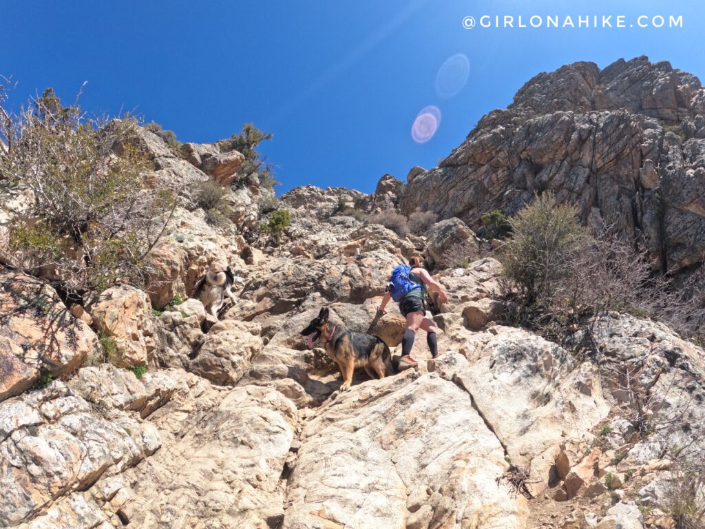
It’s really not as bad as it looks. The very first time I summited Mt. Olympus in 2014 as a solo hike, I was able to get up and down by myself. Since its a class 3, there are always really good handholds.
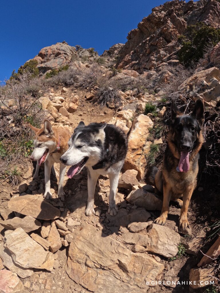
Charlie only needed a boost in two areas of the scramble. Otherwise, he was able to do it on his own without slipping.
Almost to the summit.
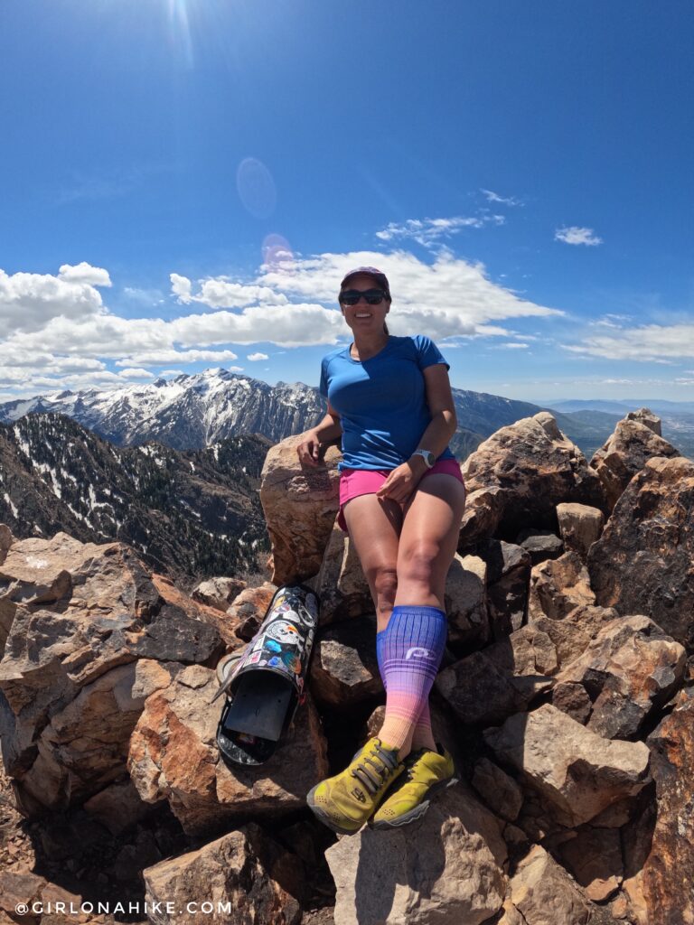
Whoo-hoo, 4th time on Mt.Olympus! I highly recommend wearing compression socks, as they will save your calves on this climb.
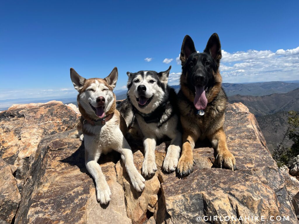
Misty, Max, and Leo did such a good job, and they were very proud of themselves! Total time up was 3 hours 12 minutes!
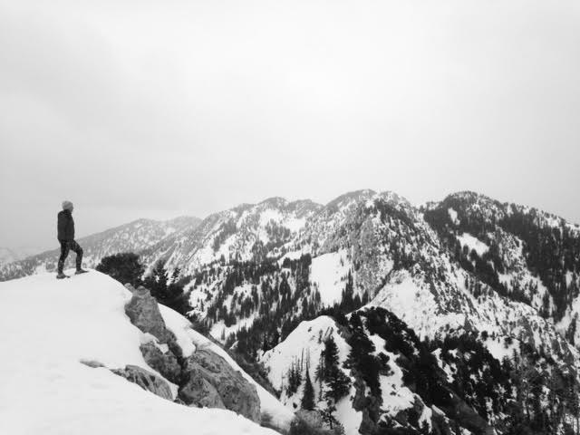
Mt. Olympus, Winter 2017
Winter is my preferred time to summit, as the snow covers up all the rocks making it easy to climb up in my opinion.
This view is looking East towards Wildcat Ridge.
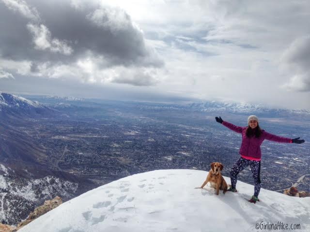
On the summit looking down to the valley.
Watch my video from May 2022!
Trail Map
Total hiking time, including our break at the top, was 6 hours 32 minutes. Gaia GPS is the best tracking app!
Also Read…
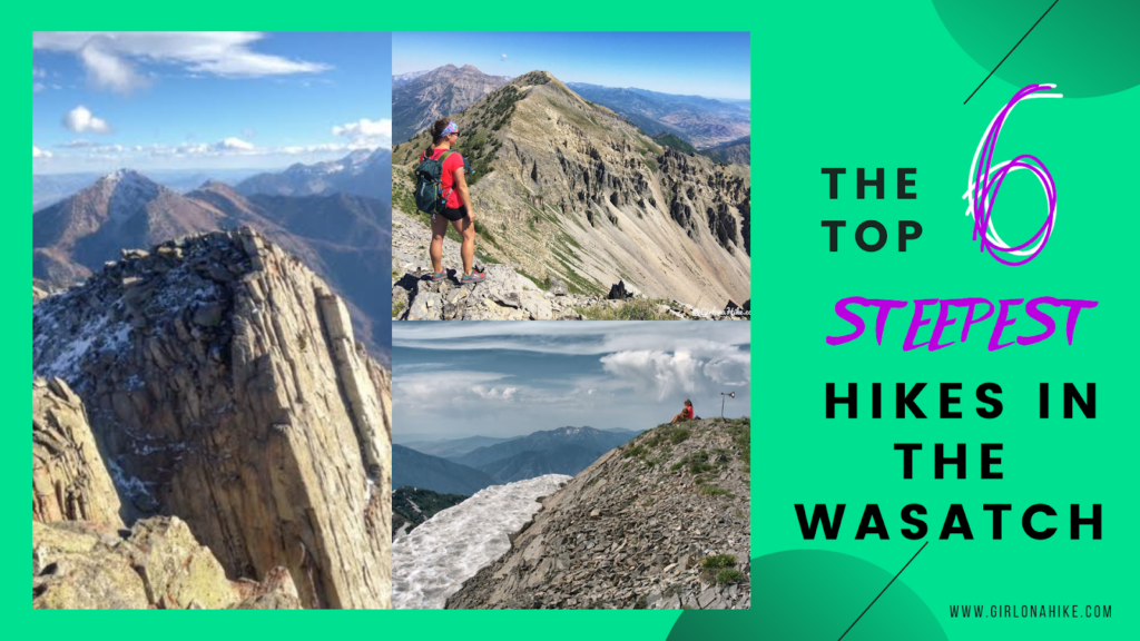
6 Steepest Hikes in the Wasatch Mountains

Save me on Pinterest!