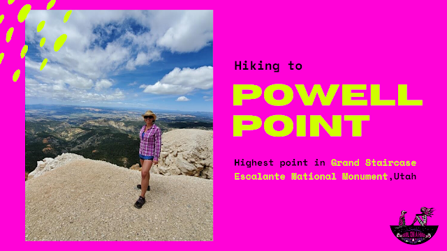

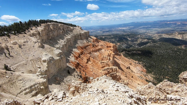
Powell Point (10,188 ft) reveals the top-most layer at the Colorado Plateau’s Grand Staircase Escalante National Monument.
About
This colored layer, known as the Pink Cliffs, is the same geologic layer that forms Bryce Canyon National Park. In 1872 the Powell Expedition, led by John Wesley Powell, took a team of two men and three horses to make the first summit of Powell Point, then called Table Mountain, and later Pink Point (as the locals still call it to this day) to make the first ascent via the Water Canyon route.
The White Wasatch Limestone soil in this area is highly erosive and littered with talus. These loose sections are very dangerous and care should be taken for getting too close to the edge, as they can collapse from under you. Keep children and dogs close by at the point.
When visiting in summer, keep in mind that afternoon thunderstorms occur daily, so getting to the point before noon is typically the safest. Because you are over 10k feet, elevation sickness is a possibility and health should be taken care of immediately. The best months to visit are typically late May through October, or whenever snow is fully melted. There is no official winter gate, but only snowmobiles are advised in winter months.
There is plenty of shade but zero water, so make sure to carry enough for 10 miles of hiking for you and your dog. Always carry a light jacket even in summer, as the temperatures can be up to 20-30F cooler than in the valley.
Directions
From Bryce Canyon N.P., head north on John’s Valley Road for 10 miles, then turn right at the sign for Pine Creek Lake/Powell Point. Drive all the way up the canyon, past the campground, for a total of 11.5 miles. This drive will take you close to an hour to reach the “saddle” of the road, when you get to the top of the canyon. You will need a high clearance cay beyond Pine Lake CG to get to the saddle – this drive includes steep and narrow sections of road. I drive a Dodge Nitro and made it just fine, but slow. Once at the saddle, turn right for the signed Powell Point. If you chose to hike the entire road like us (because of our car and downed trees), you will need to park around here. If you have an ATV or truck, you can drive to the official TH, which is another 5 miles from this split. Here is a driving map.
Trail Info
Distance:
4.7 miles one way from the road split
3/4 mile one way from the official TH
Elevation gain: 345 ft
Time:
If hiking from the road split, 4-6 hours RT (for 10 miles). If hiking from the official TH, then about 1-2 hours RT depending on how long you stay at the Point.
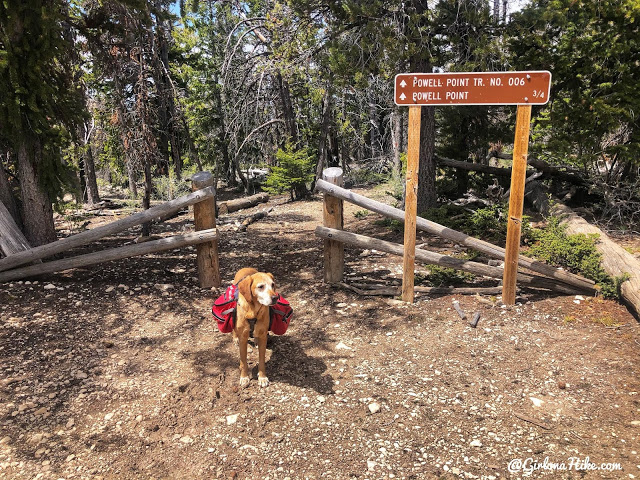
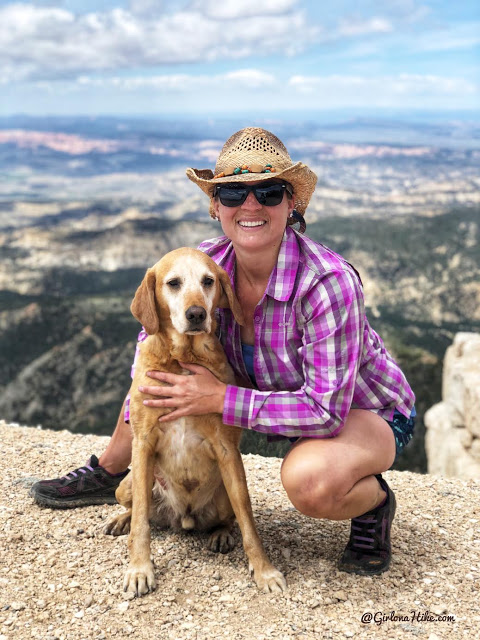
Dog friendly? Yes, off leash
Kid friendly? Only from the official TH, not the road hike
Fees/Permits? None
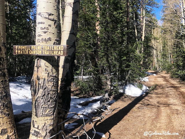
The last turn off from Pine Canyon Road, with a trailhead sign. From here the “official trailhead” is 5 miles. I was only able to drive another 100 yards before there were large downed trees so I parked there.
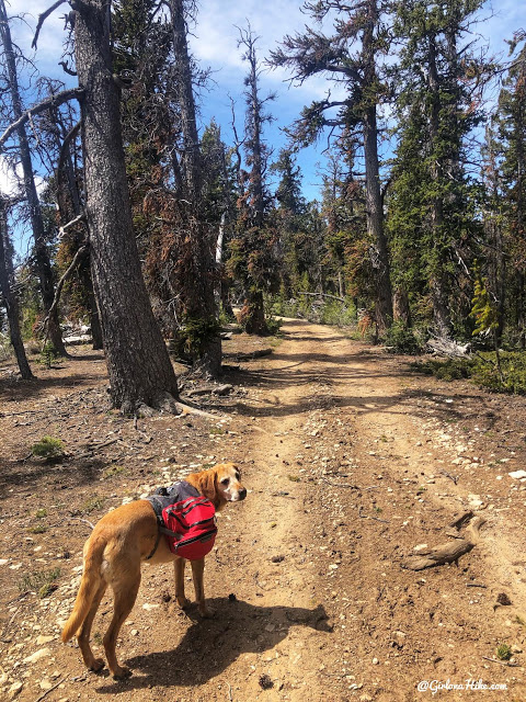
What most of the “hike” looks like – dirt road with tall pine trees lining the way. The road wasn’t bad in sections, but other times was worse. I think trucks would drive the whole way as long as there aren’t snow patches or downed trees.
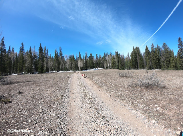
Passing through the one and only meadow. I’m sure later in summer this field is green with small wildflowers.
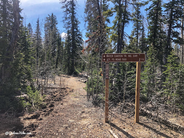
About 1.5-2 miles from the road split you will see another TH sign on your left – this is an alternate route you could hike to Powell Point, and was in fact, the original trail that John Wesley Powell took for the first ascent to Powell Point with his team of horses.
Keep hiking until you reach the “official trailhead” sign, at the end of the ATV road.
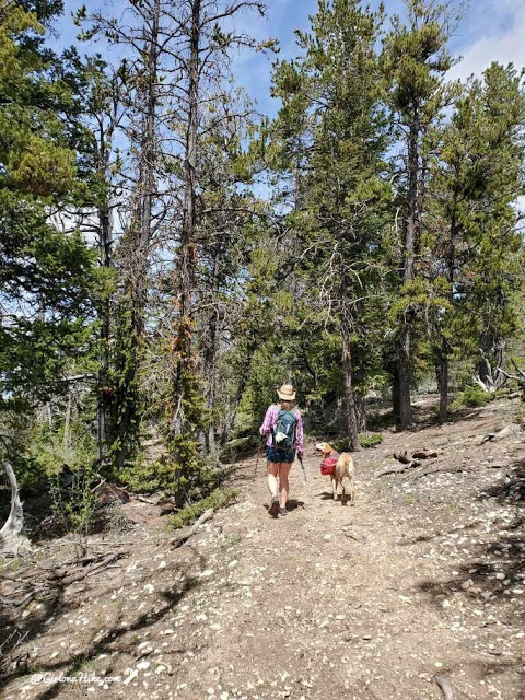
Make your way downhill for a few minutes.
And… boom! Your first view of the side of Powell Point! Wow.
Along the trail there are several areas you can walk out to get a better view.
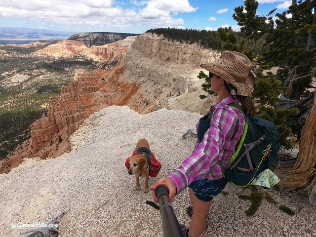
We took so many photos just along the last 3/4 miles – we couldn’t get over the views!
For the ladies – if you need an awesome, reusable pee rag for day hikes, check out Wander Woman Gear! Their wipes are sooo soft, and easy to dry by hanging on the back of your pack like I am here. Simply wash, hang dry, and its ready to use on your next day hike!
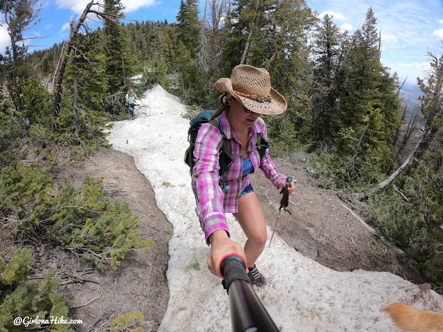
Almost there, finding our way on the still snow-packed trail in late May.
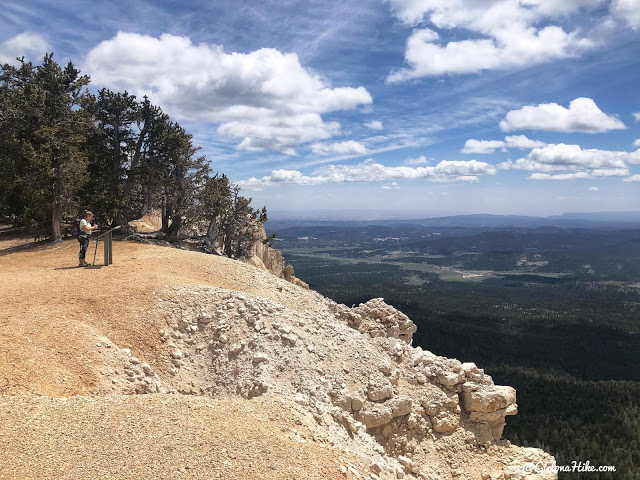
Arriving at Powell Point, Ashley reads the plaque about the history of this area.
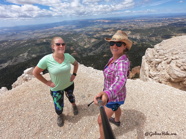
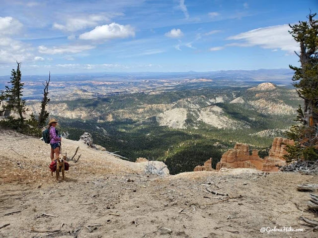
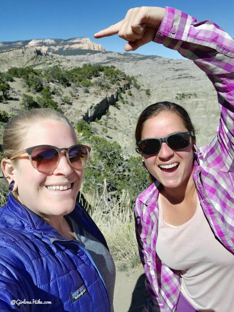
Whoo-hoo! Girls day on the mountain. See the line of red above my hat? That would be Bryce Canyon National Park.
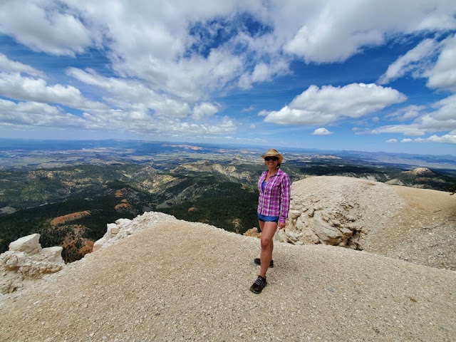
Absolutely loved this trail and point!
Prime photo opportunities on top!
Powell Point as seen from Powell Vista along HWY 12! So cool to think we were on top of that!
Check out my Memorial Day video
Trail Map
My track via Gaia GPS – the best tracking app! Get your app here for a discount.
Recommended Gear
Nearby Hike

Save me on Pinterest!