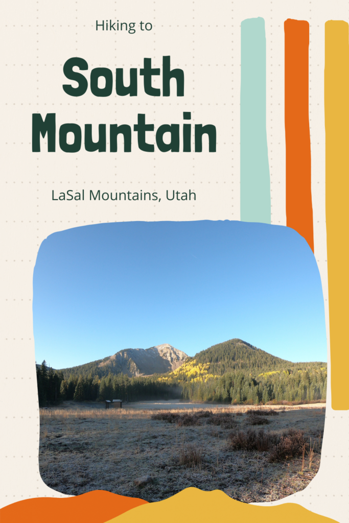

South Mountain (11,817 ft) is located on the very South end of the LaSal Mountains just outside of Moab, Utah. This is one of the easiest peaks to summit in the LaSals at only 7 miles RT. The LaSal Mountains are the 2nd highest mountain range in Utah, behind the Uinta Mountains. South Mountain is accessible by a trail half of the way, and then the second half is off trail but is easy hiking across the high alpine terrain. The trail itself is mostly exposed, with no water source. Start hiking early in the morning to beat the afternoon thunderstorms that occur almost daily in this mountain range. The best time to summit is Summer and Fall (typically late June to the first snowfall in October). Call the LaSal Ranger to make sure LaSal Pass is open before planning your hike here.
There are two trailheads to begin your hike – either the Medicine Lakes TH or Beaver TH. The Beaver TH starts about 2 miles below the Medicine Lakes TH, so you will have more elevation gain. 2,700 ft from the Beaver TH vs 1,800 ft from the Medicine Lakes TH. That is really the only “con” to using the Beaver TH. Both trailheads have several campsites and plenty of parking. Be advised that this area of the LaSals is open range, so you will see a lot of cows and poop everywhere. While this trail is off leash and most dogs should do well on the summit (as long as they are used to hiking on rough terrain), always keep a leash handy in case of wildlife.
Directions
The best and easiest way to get to LaSal Pass is by heading south from Moab, UT on HWY 191 for about 22 miles. Turn left at the Hwy 46 junction to the town of La Sal. Drive another 13 miles and take a left on to the Upper Two Mile graveled road. After 2 miles make another left turn for the La Sal Pass Road. Eventually you will cross a stream. A small car would have issues and not be able to cross the stream – an SUV or larger is best. Drive until you see the sign for Medicine Lake off to the left (FR 238). The road can be impassable in rain and is not plowed in winter. There is one port-a-potty. Here is a map link.
FYI, do not take the LaSal Scenic Loop Road by Ken’s Lake, then follow the dirt road up and East to the LaSal Pass. This road is BAD. It’s super rocky, very narrow, steep, and will take 2-3x longer to reach the TH. We were in two Jeeps that could handle this road, but it’s more suitable for a Razor, ATV, or dirt bike. While this route may pop up on your MapQuest, do not take it!
Trail Info
Distance: 7 miles RT
Elevation gain: 1,800 ft
Time: 4-6 hours
Dog friendly? Yes, off leash
Kid friendly? Yes, ages 10+
Fees/Permits? None
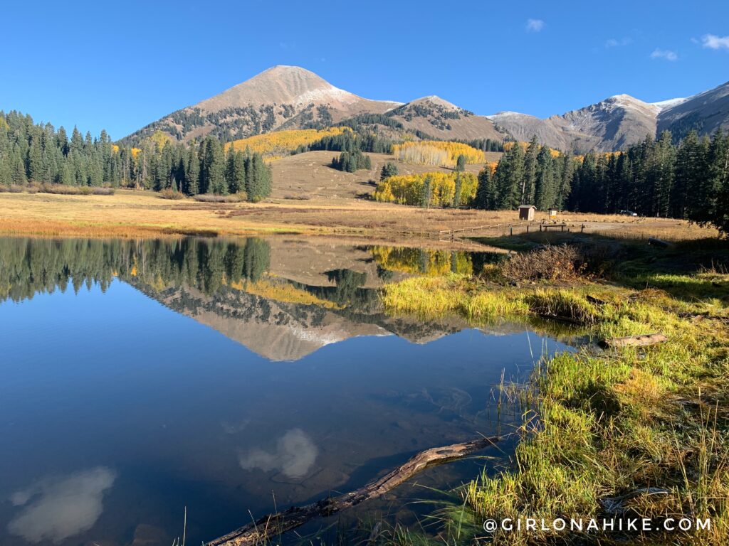
Our route started from Medicine Lakes. The parking is big, and there’s plenty of free camping right there as well. Looking back you’ll have a great view of Mt.Tukuhnikivatz!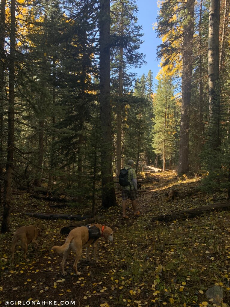
The trail is very well shaded the first mile.
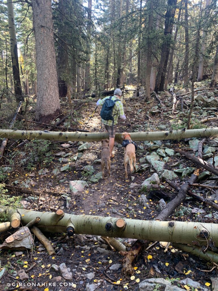
You will cross over a few downed trees.
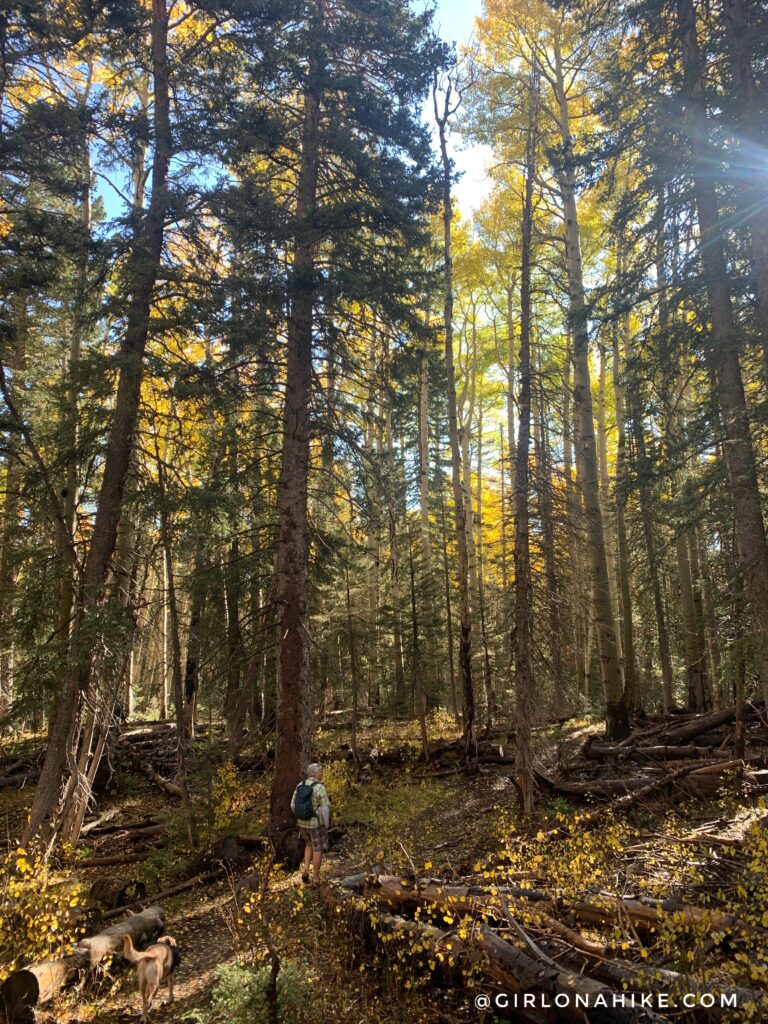
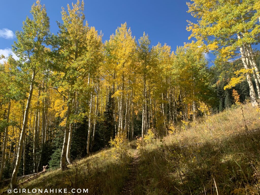
Wow, these Fall colors were amazing! The first mile is very casual, only gaining 120 ft!
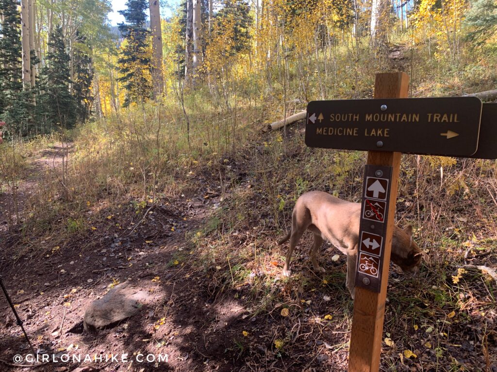
At 1.3 miles you will reach the first trail split. This sign is confusing because the arrows for South Mountain point in both directions. If you go straight, it will take you down to the other trailhead you could opt to take instead of Medicine Lakes, Beaver TH. To reach the peak, turn right to hike uphill.
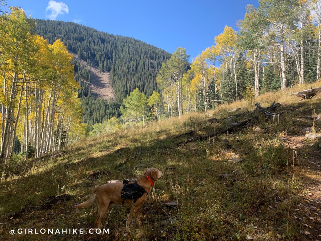
Make your way up through several Aspen groves.
The trail now steadily gains elevation to the saddle.
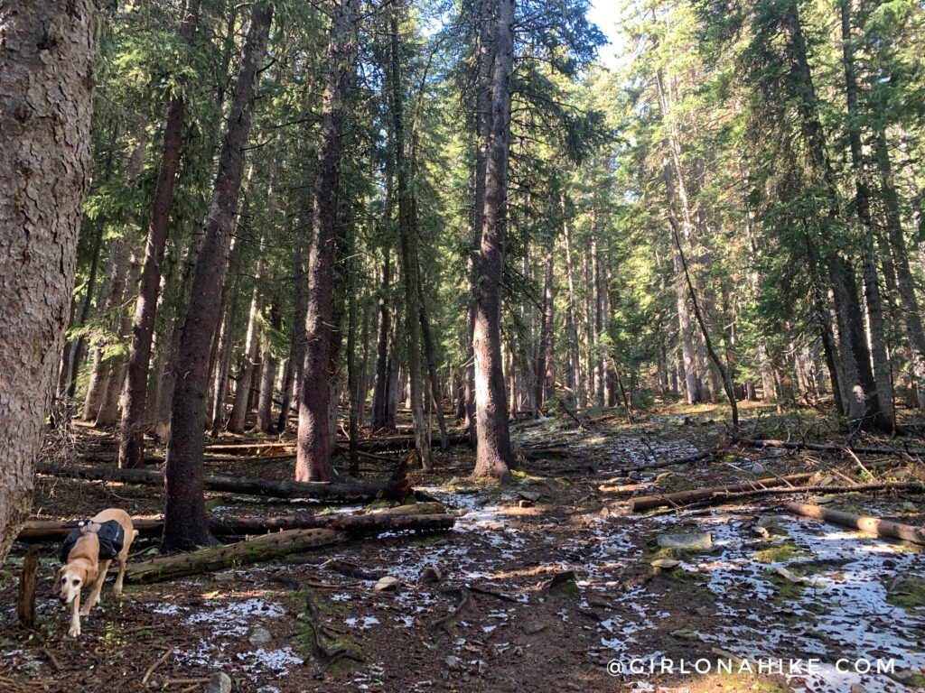
The last 1/2 mile to the saddle turns into thicker forest.
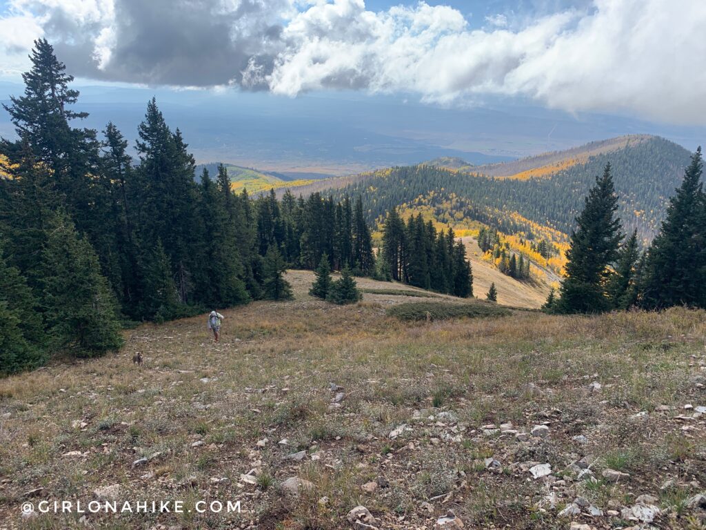
At 2.5 miles you will see three brown trail posts. A the 2nd one, turn right and leave the trail. This is looking South, but follow the faint hikers trail along the ridge.
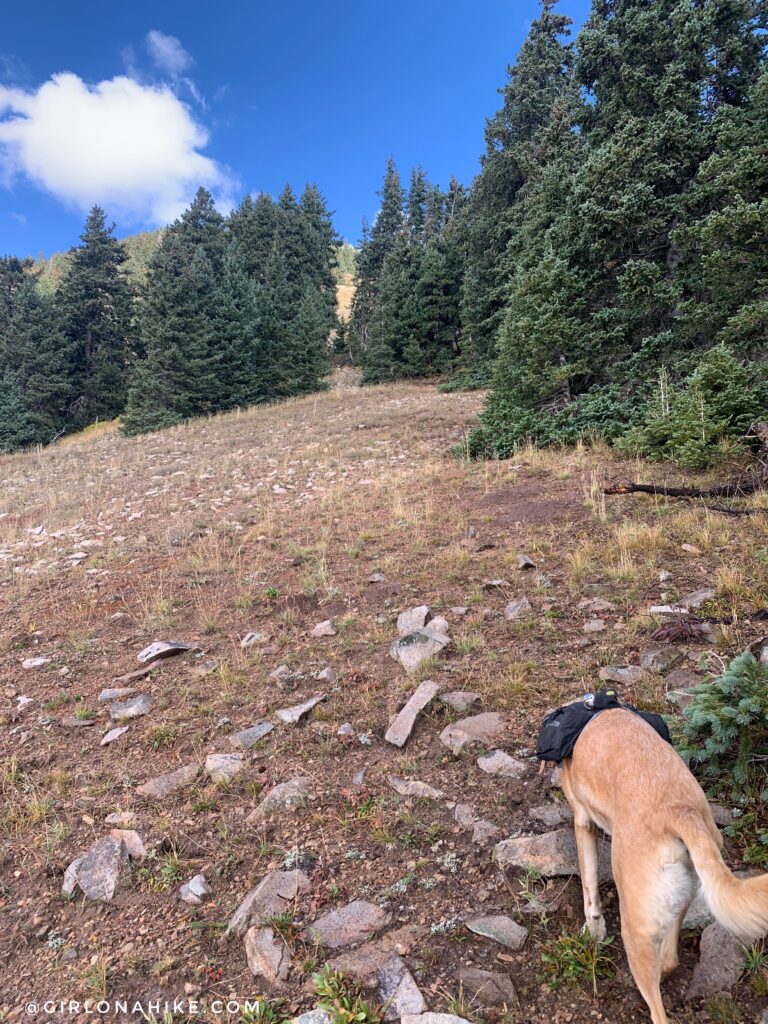
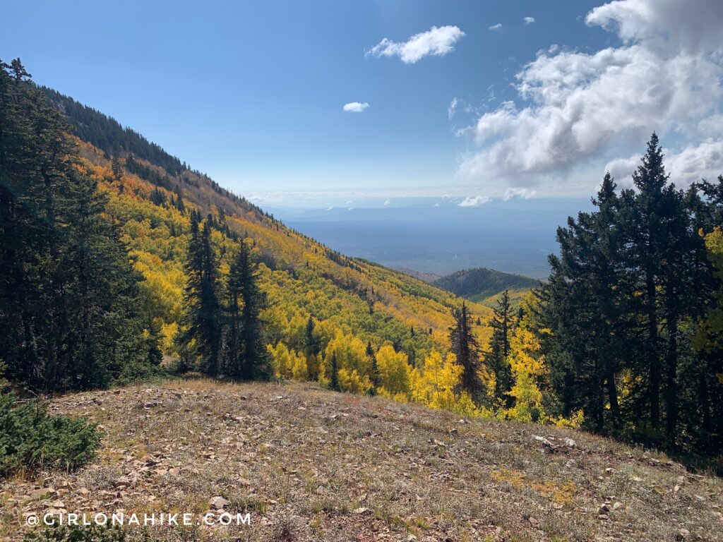
When you come to an overlook looking down into the next basin, turn right and start hiking up the ridge to the peak. There is no trail, but as long as you hug the tree-line and hike in a straight line to the peak, it’s not bad (just steep).
Looking back down the ridge. The clouds were starting to come…
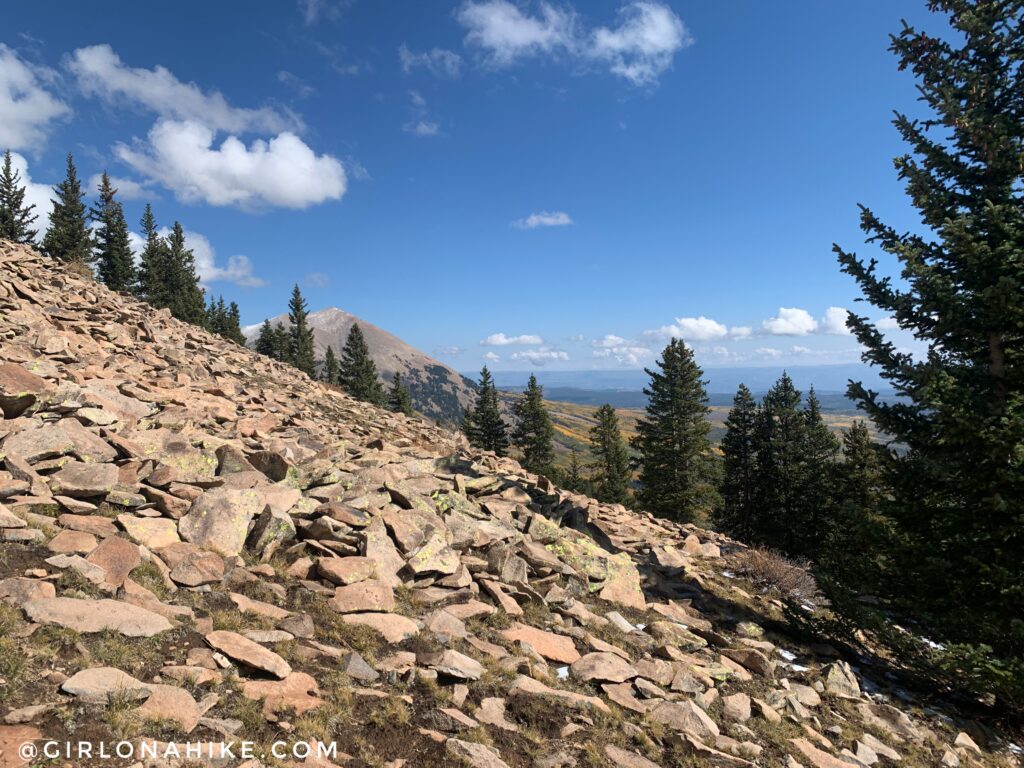
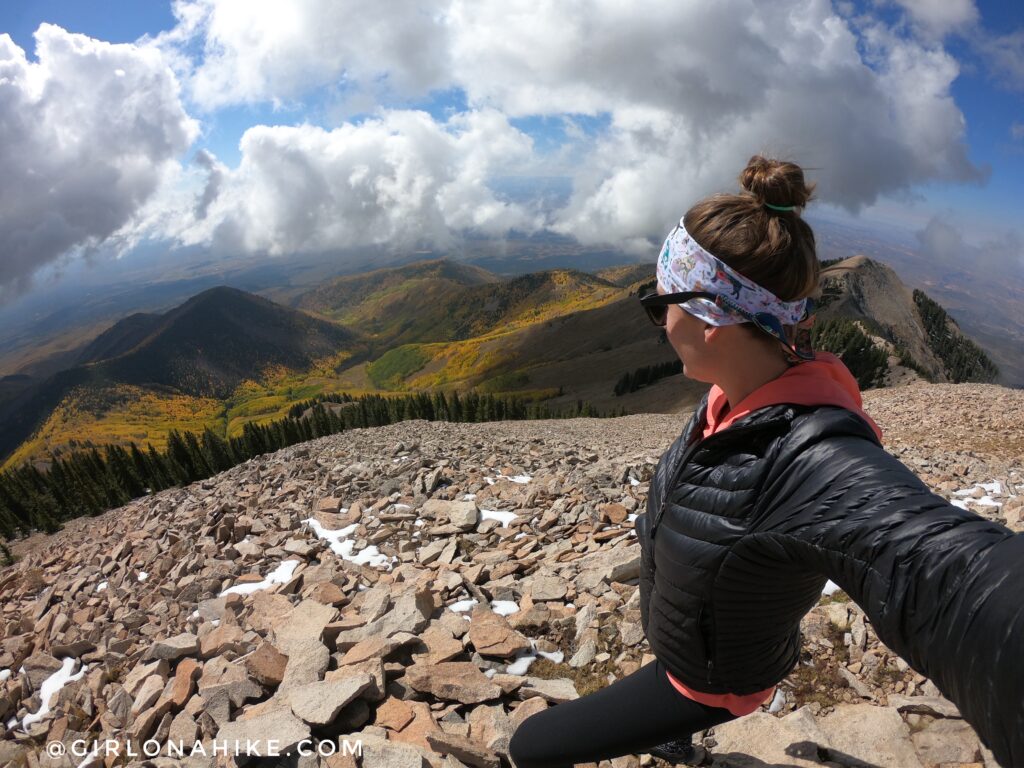
Hiking up the ridge, looking NE to Mt.Peale.
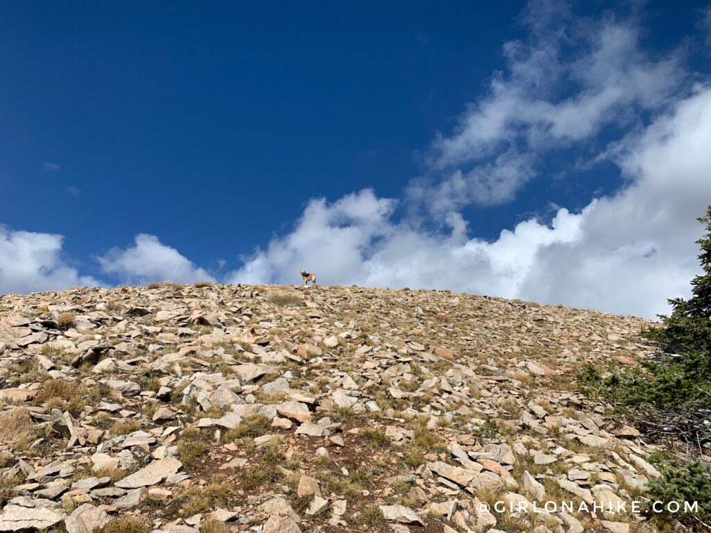
Charlie always beats me to the summit!
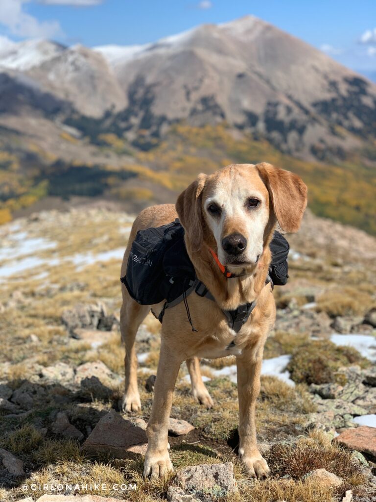
Whoohoo! Charlie and I made it before the clouds started to get really dark. For those wondering, in his pack all he carried was 1 liter of water total.
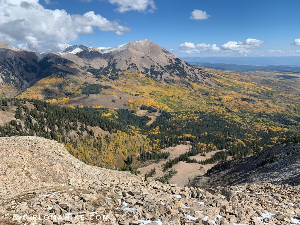
Can you spot Medicine Lake? It looks so small from South Mountain!
 On the summit, looking down into the SW basin. So pretty!
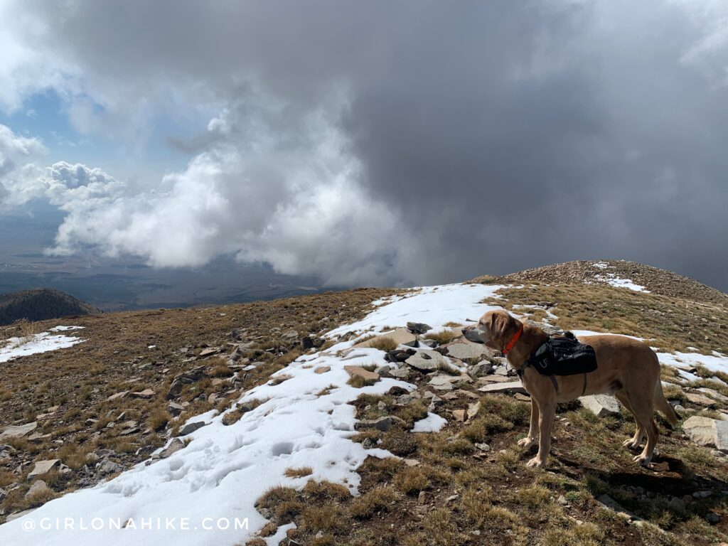
Charlie takes in his view. This dark cloud had me worried, so we quickly ate our snack before heading down.
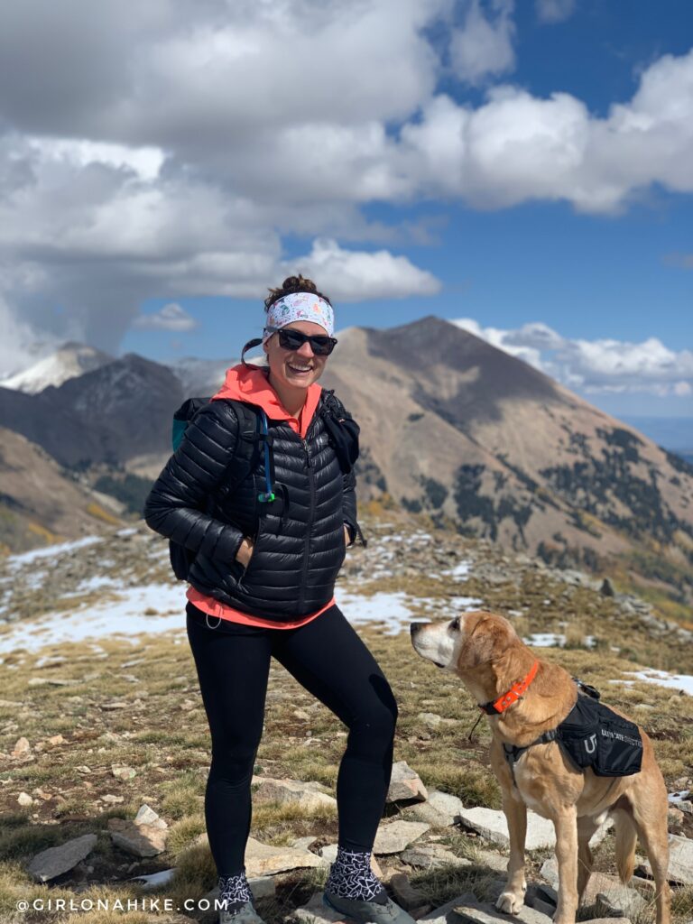
Wow, what an awesome day in the LaSals! I didn’t even realize until I looked back at my photos that Charlie and I matched on this hike haha!
Check out my video!
Trail Map
My track via Gaia GPS – the best tracking app! Get your app here for a discount.
Recommended Gear
Nearby Hike
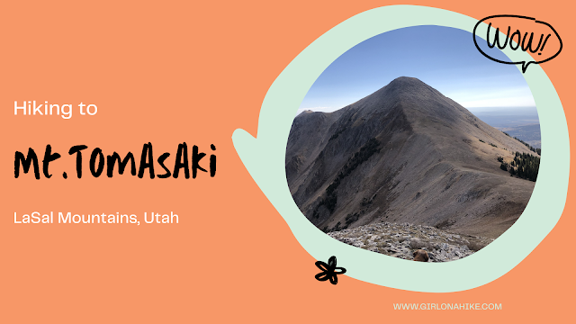
Hiking Mt.Tomasaki, LaSal Mountains

Save me on Pinterest!