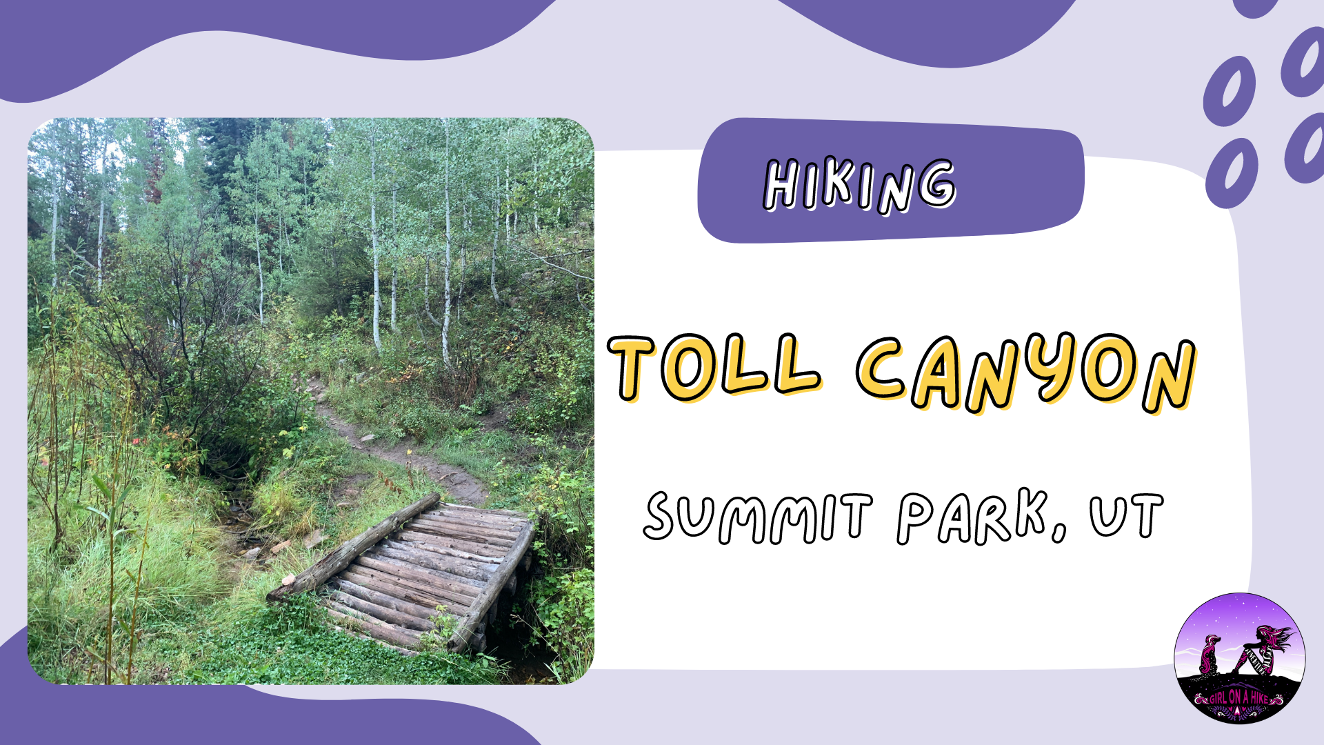
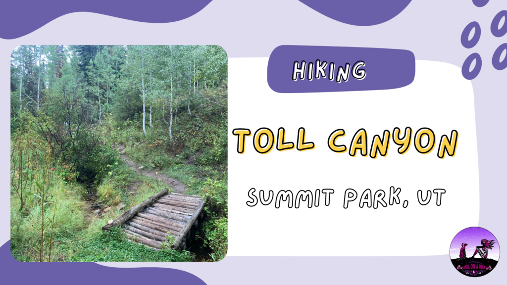
Toll Canyon is located in Summit Park, Utah, starting behind the new Discovery Ridge neighborhood. This trail is surrounded by private property with limited parking, so starting at the Arclyon Trail is the best starting point for hikers.
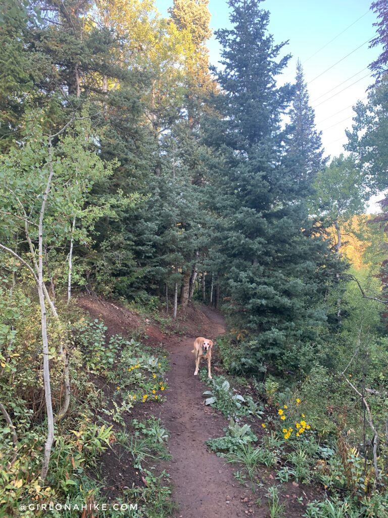
The trail, called a Toll New World, wraps around a small hill just South of I-80 before making very gradual switchbacks up to the Toll Road. The trail eventually turns South and you’ll be following Toll Canyon, which is well shaded by both pine and Aspen trees. There is no specific destination, however, this can be nice as you can choose your distance. Dogs will appreciate the year-round stream to drink from in the upper section of this hike, but beware of bikes the first 1.5 miles. This trail is accessible year-round, but of course, always pay attention to avalanche danger in winter.
Directions
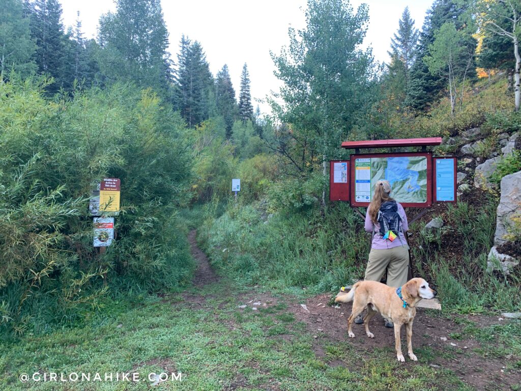
“A Toll New World” Trail starts from the Discovery Ridge/Arcylon Trailhead in Summit Park, in the new Discovery Ridge neighborhood. You can just type in “Arcylon Trailhead, Summit Park, UT” to Google Maps and it will pull up this map. Here are written directions: From SLC drive East on I-80 and take exit 140 on Parley’s Summit. At the bottom of the ramp turn right, then turn left at the stop sign. Drive 1.1 miles and turn right on Discovery Way. Drive 0.3 miles and the TH parking is on your right with a new TH sign and restroom.
Trail Info
Distance: 6 + miles RT (You can go as far as you want)
Elevation gain: 900 ft
Time: 2-4 hours
Dog friendly? Yes, off leash
Kid friendly? Yes, all ages
Fees/Permits? None
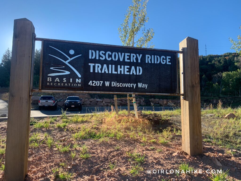
As of September 2022 there is a new sign at the TH and is called “Discovery Ridge Trailhead”, and there is a very nice restroom. However, Google Maps still has it marked as “Arcylon Trailhead, Summit Park, UT”.
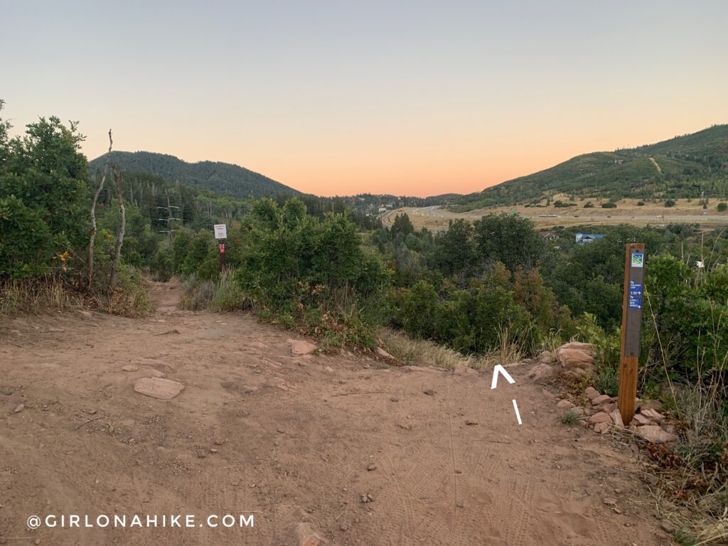
Within the first few minutes you will come to two trail splits – make sure you stay right at both and follow “A Toll New World”. Bikes may be approaching from the left.
The trail heads West for about 3/4 mile, gradually switchbacking uphill.
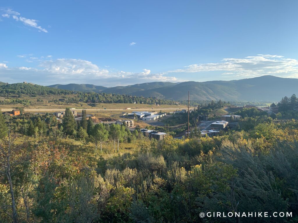
You will be hiking behind the Discovery Ridge neighborhood and South of I-80.
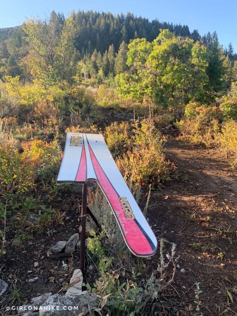
At 0.8 miles pass this half-broken snowboard structure on the left.
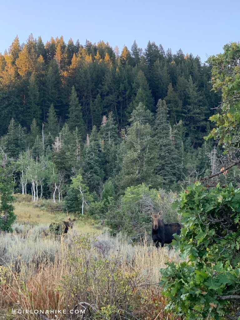
Watch out for moose! They love this area.
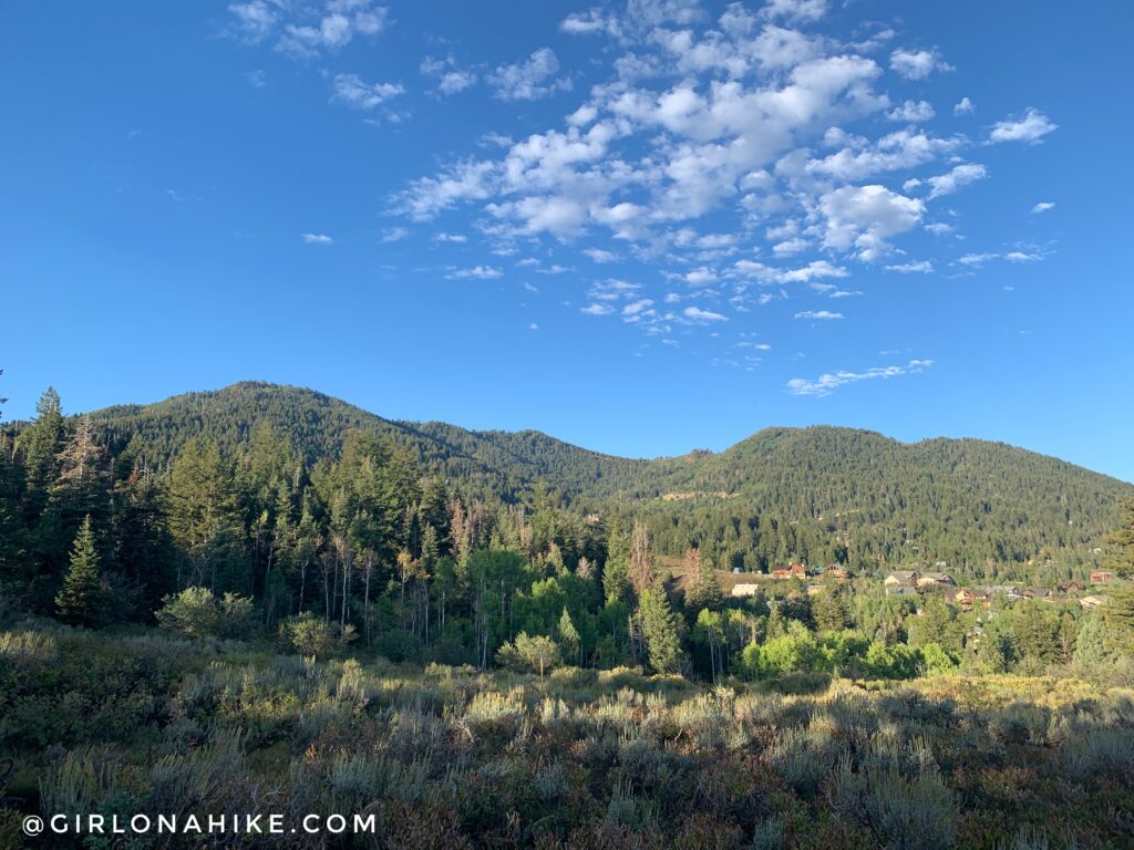
The trail begins to curve South, and you will have a great view of Summit Park Peak to the West.
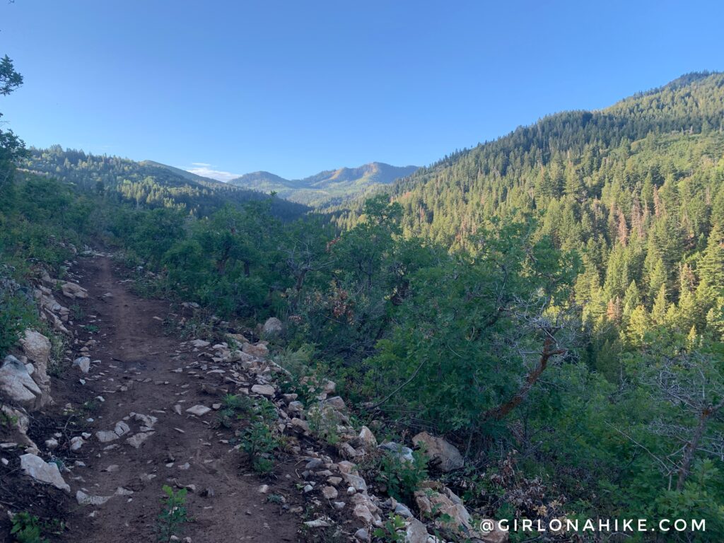
The trail gets a littler rockier but not bad at all. The peak in the distance is actually Murdock Peak! If you wanted to, you could hike al the way to that summit from this TH. It would be a longer hike and you might have to connect trails, but it is doable.
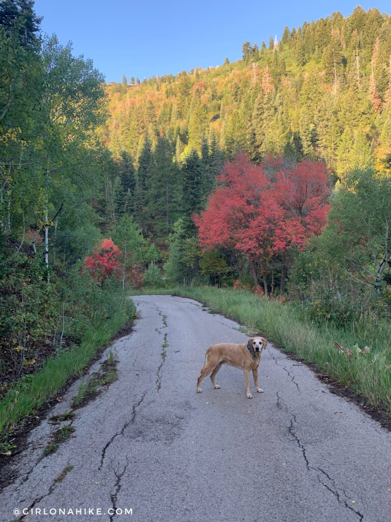
At 1.6 miles you will reach “Toll Road” which starts out as a dirt road, then turns into pavement. Keep right. It’s only for pedestrians though, this isn’t a road for vehicles.
On your left you will now see the hikers-only trail, continuing along “A Toll New World”. Now the trail becomes a narrow single track, and we both wore pants because I had heard it would be overgrown.
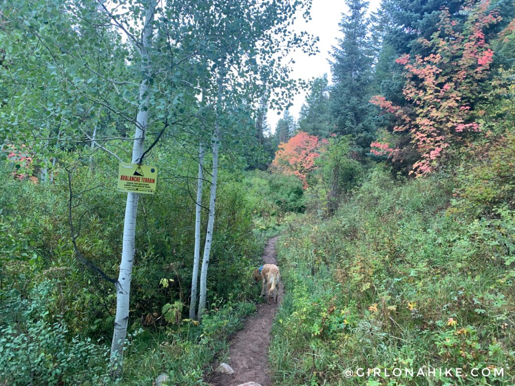
Beware of avalanche danger in winter!
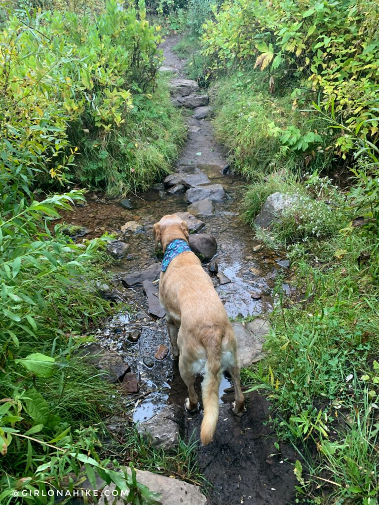
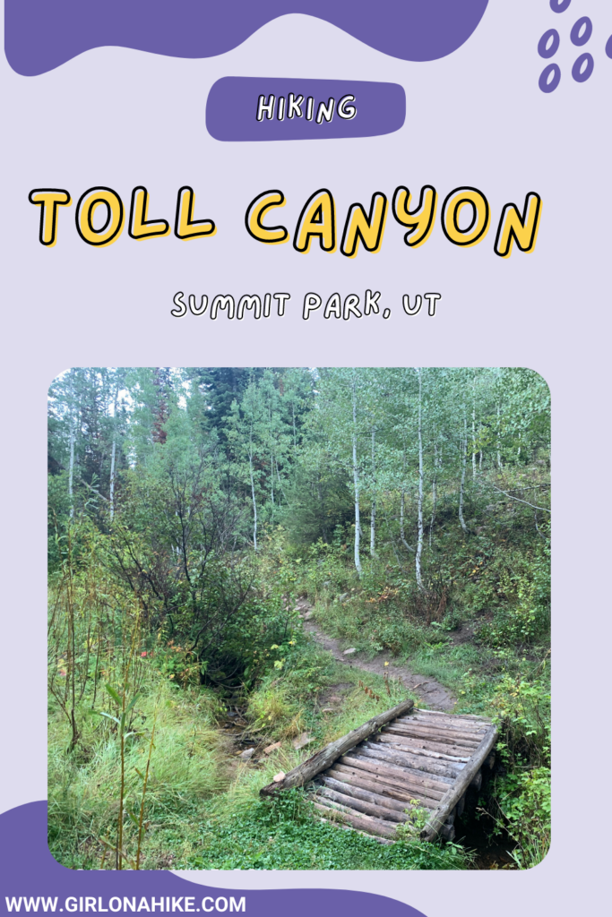
Cross Toll Creek. It’s a perfect spot for the dogs to take a drink.
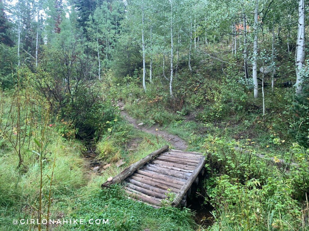
At 2.5 miles cross the short bridge.
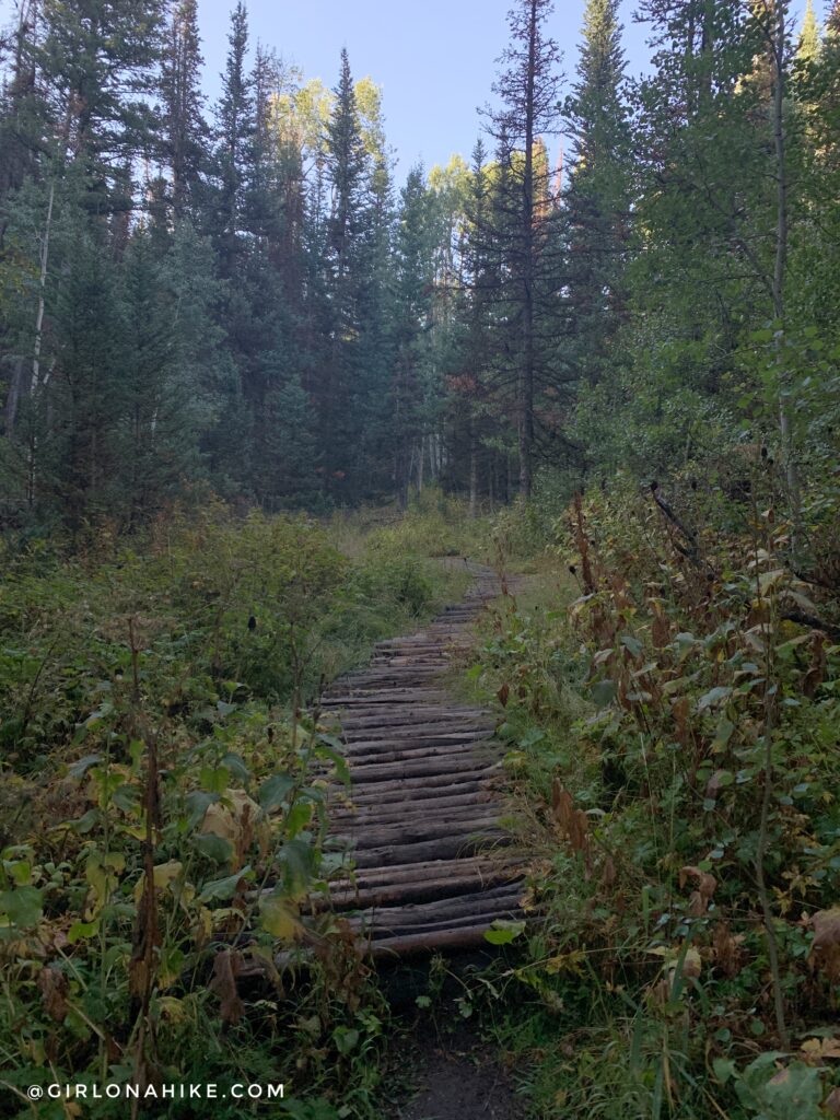
And at 2.7 miles cross the long bridge.
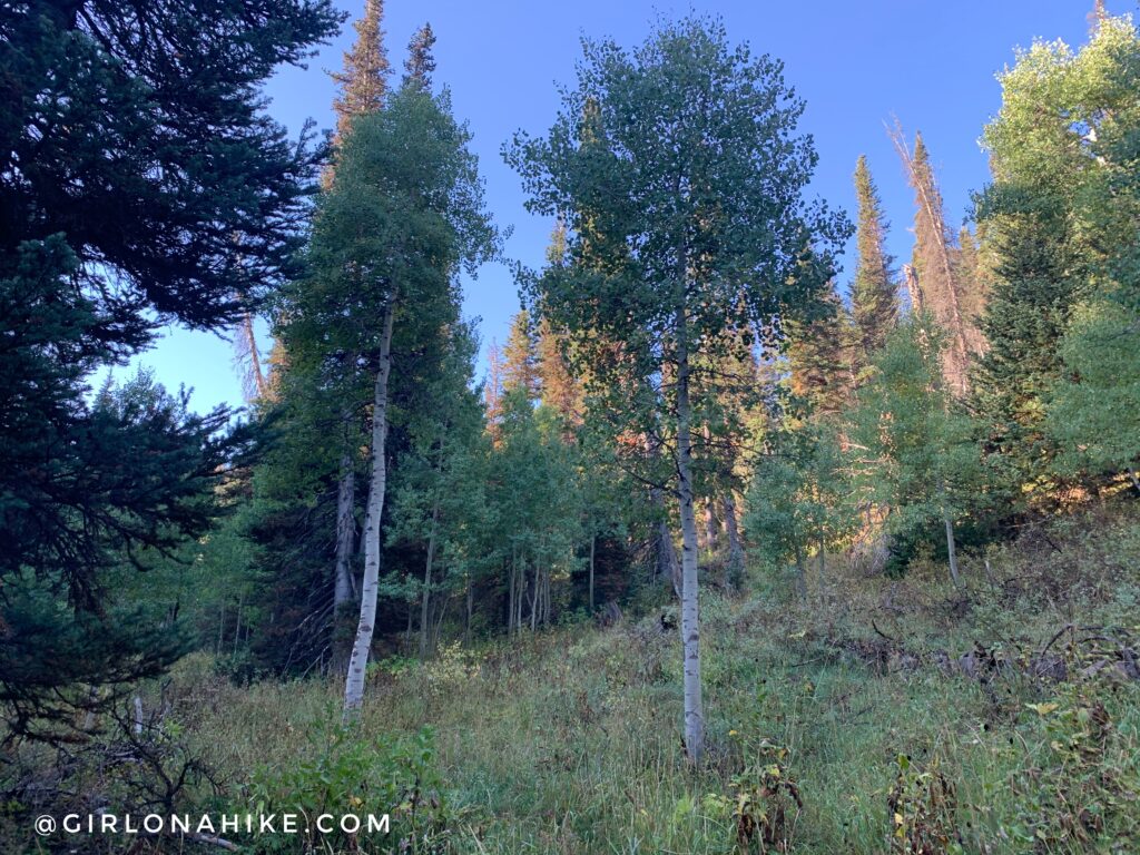
The trail did end up being slightly overgrown, and because of all the dew our pants were soaked below the knees. There were lots of pretty Aspen trees and very small meadows.
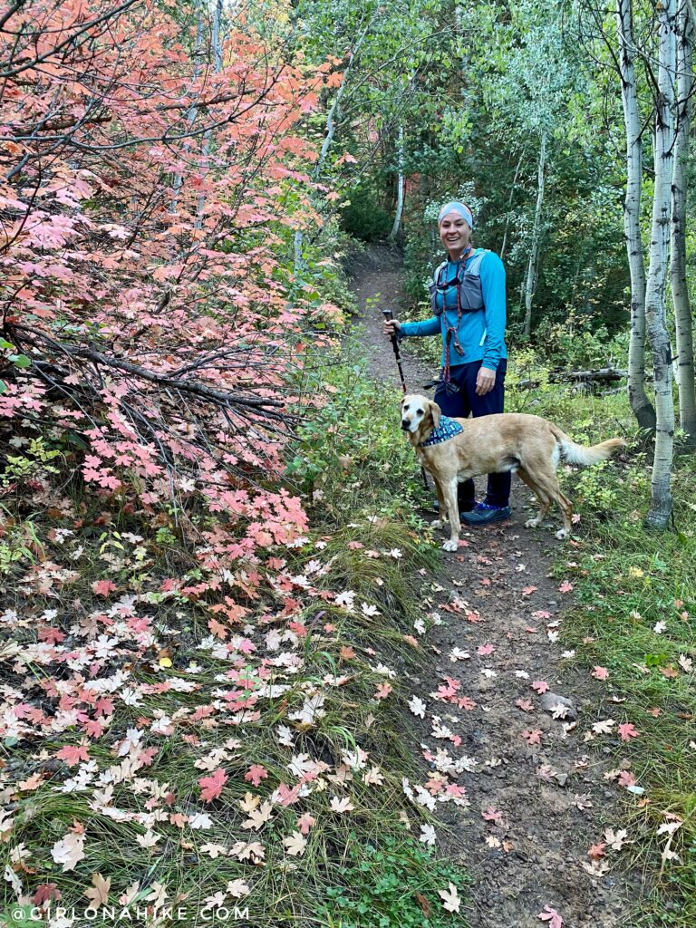
You can keep going as far as you want. We hiked up 3 miles before turning around. It was great to see some Fall colors appearing! This is a hike I would do year-round because it’s well-shaded and has water running for the second half of the hike.
Trail Map
My track via Gaia GPS – the best tracking app! Get your app here for a discount.
Recommended Gear
Nearby Hike
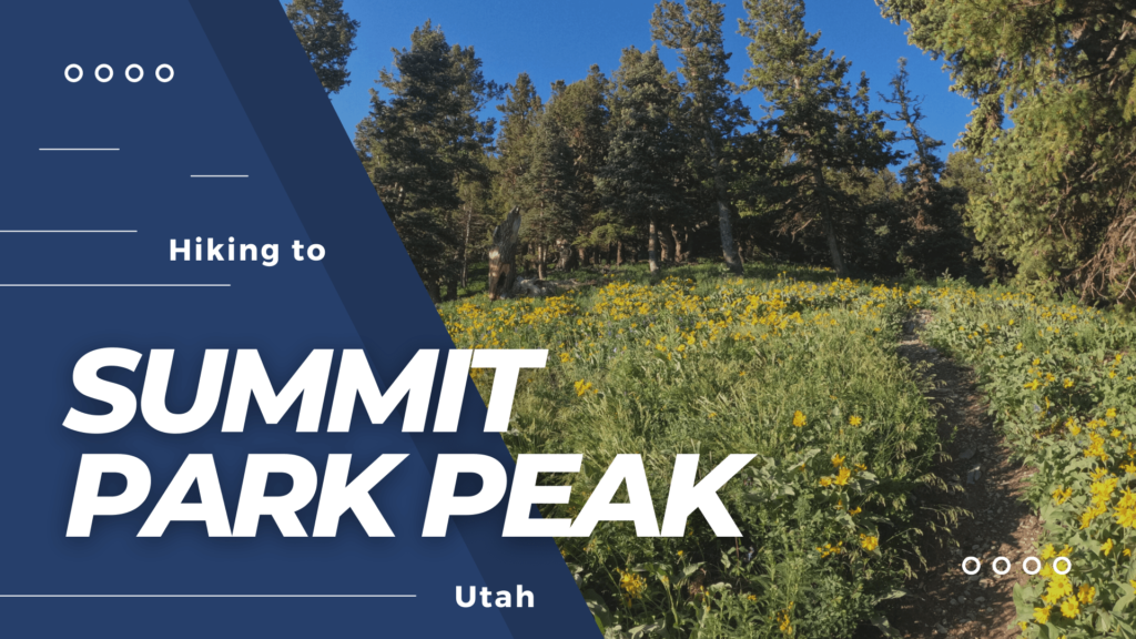
Hiking to Summit Park Peak

Save me on Pinterest!