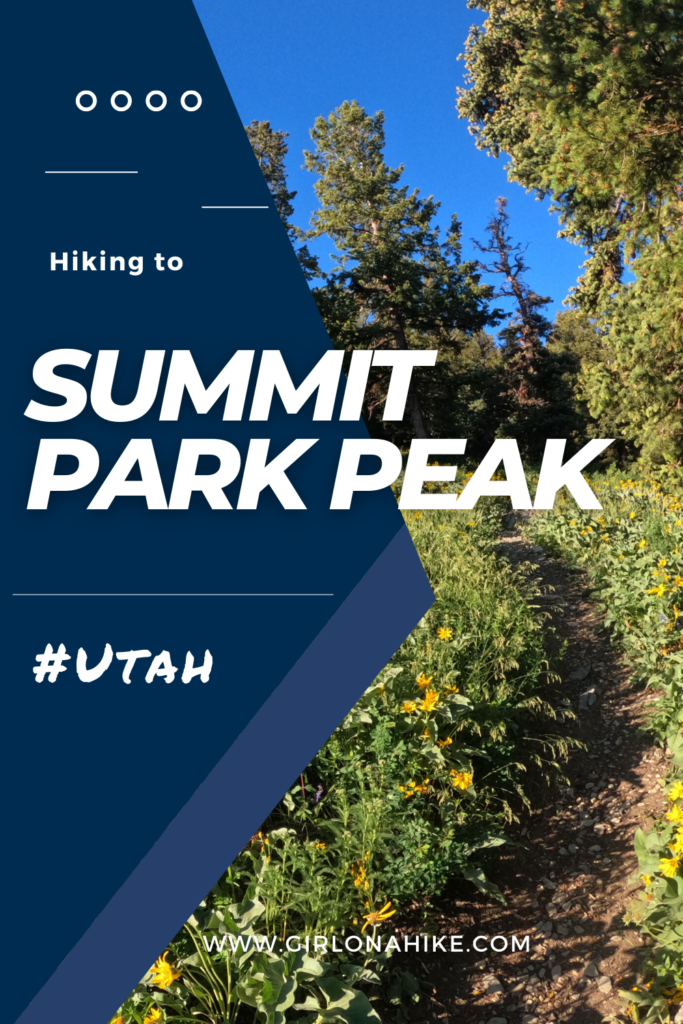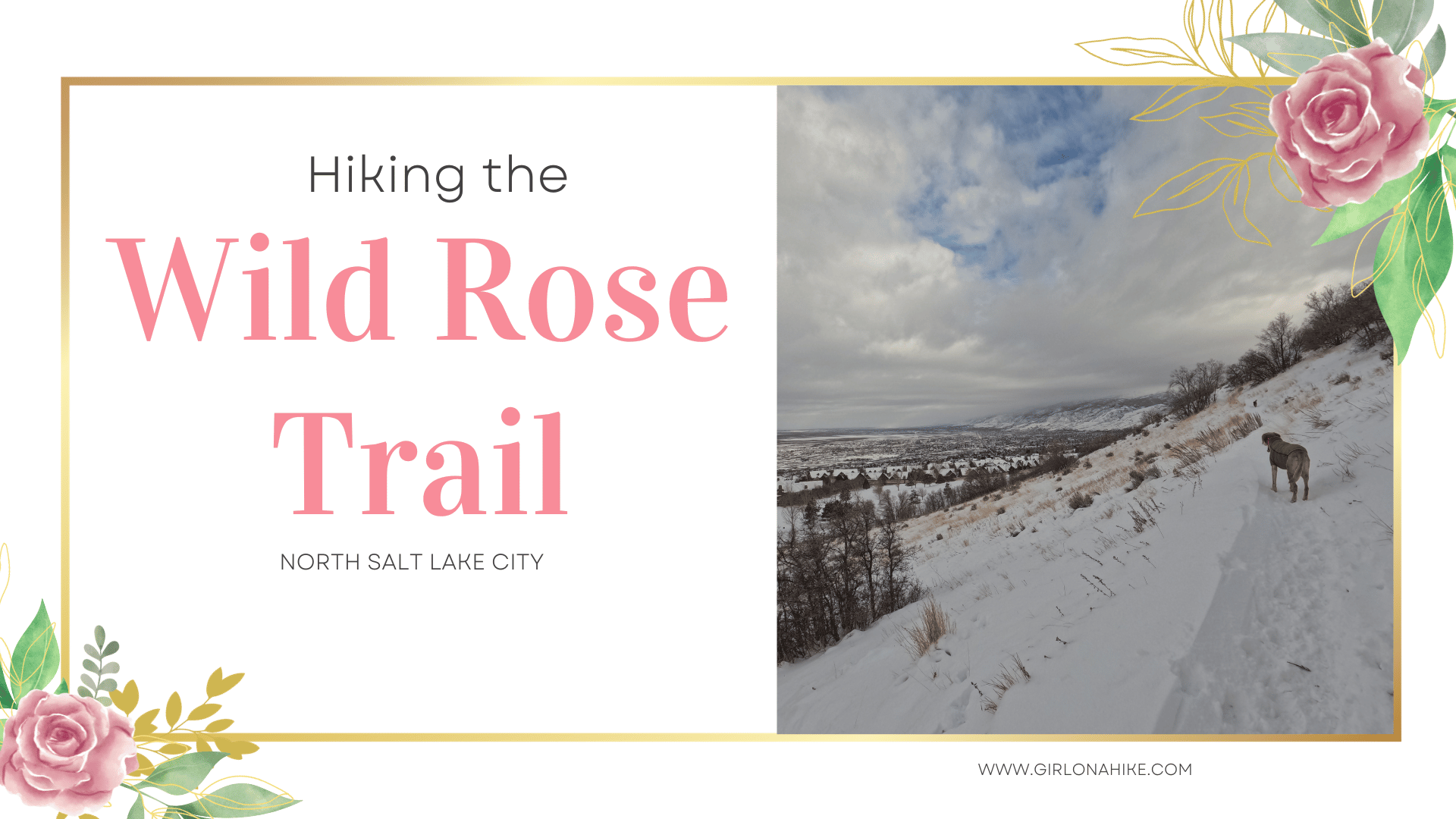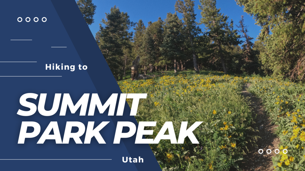
Summit Park Peak (8,618ft) is a moderate peak located in between Salt Lake City and Park City, Utah.
About
Look on any map, and you will see the official name as “Point 8,618”. Because Summit Park Peak looks down on Summit Park, UT, the name is fitting. From the summit you will have beautiful 360 degree views of the Wasatch; on a clear day you can see as far West as Antelope Island and Stansbury Island.
To the North you can see Grandview Peak, and to the East, the High Uintas. Summit Park Peak is accessible year round, and is popular in Winter for back country skiers, due to the low angle terrain with low avalanche danger. Be sure to grab your hiking poles, and get ready for a short but sweet climb to the peak.
The Snyderville Basin Recreations District serves as the managing department for over 140 miles of non-motorized trails. The majority of trails in the Basin are on private property, and the connectivity of the trail system can be attributed to these land owners. By staying on designated trails, outdoor enthusiasts can help preserve public access on private lands. For a list of the Basin Trails, click here.
There are four starting points for this Summit Park Peak
Inssbruck Strausse TH
Matterhorn Drive TH
Matterhorn Terrace Drive
Lambs Canyon
I will be referring to the way I went, starting at Innsbruck Strausse Road in Summit Park, Utah.
Directions
From SLC drive East on I-80 through Parley’s Canyon. Take exit 140 towards Summit Park. At the bottom of the ramp, turn Right. At the first stop sign, turn right again at the Sinclair Gas Station, which will now be Aspen Drive. Continue on Aspen Drive, as it turns into Maple Drive, which turns into Crestview Drive, and then will turn into Innsbruck Strausse Drive.
You will see an electrical box on your right, and a neighbor’s little red storage unit. Drive another 100 yards and you will see the trail begin on your right with a few signs. This is where you will want to park. This area only fits about 4-5 cars. There are no restrooms. Here’s a driving map from SLC.
UPDATE 2022
Trail Info
Distance: 2.7 miles one way
Elevation gain: 1250 ft
Time: 2-4 hours
Dog friendly? Yes, on leash (but can be off leash with an eCollar in Summit county)
Kid friendly? Yes, but it may be steep for them
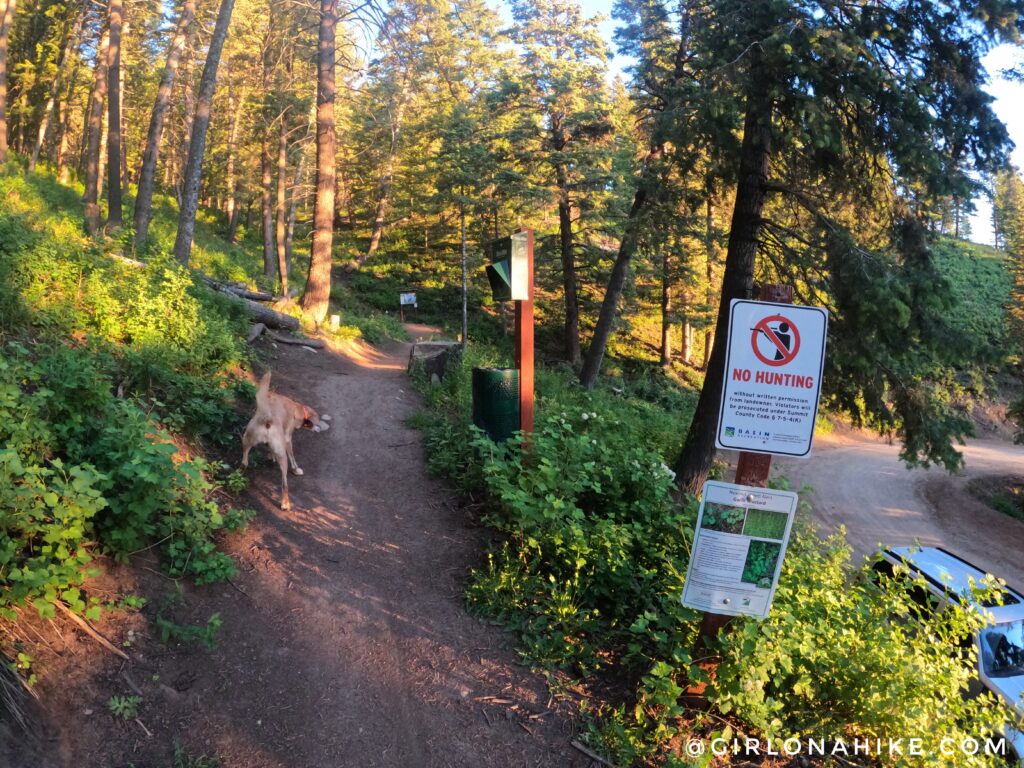
The trailhead will have a sign saying “motor vehicles strictly prohibited”. There is now a dogs on-leash sign but …nobody does. Summit County does allow dogs off leash if they have an eCollar.
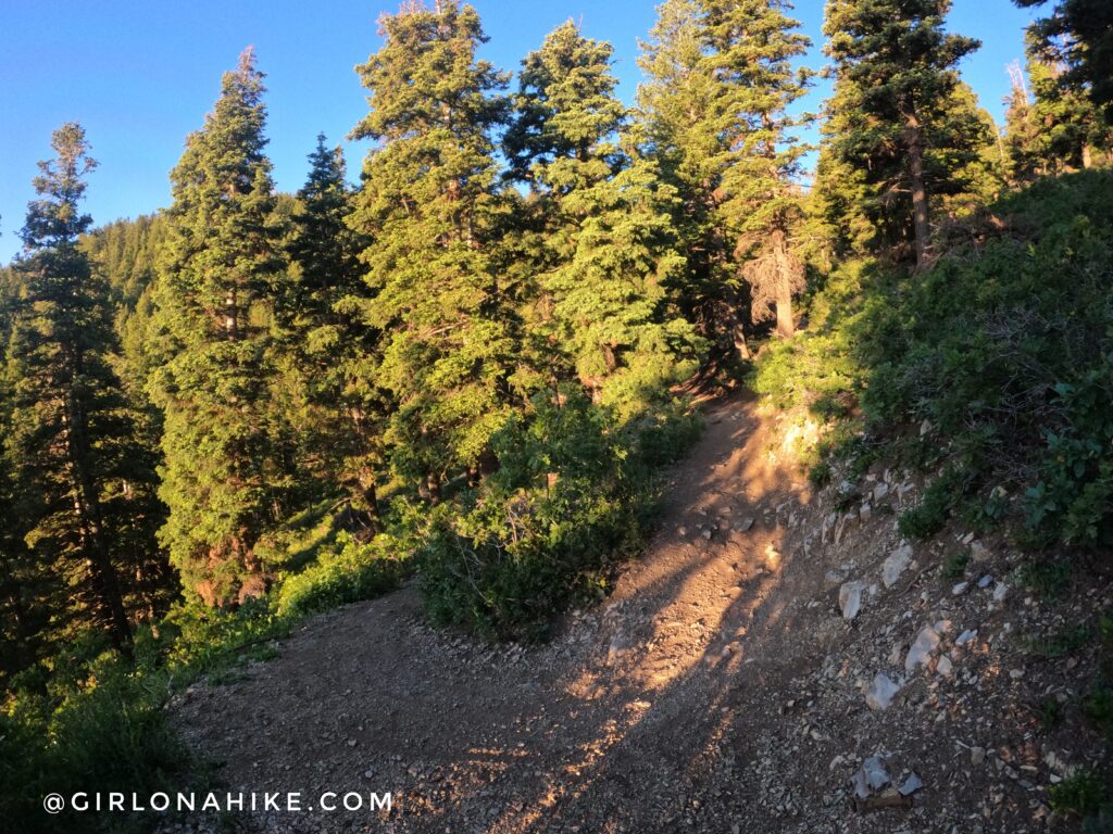
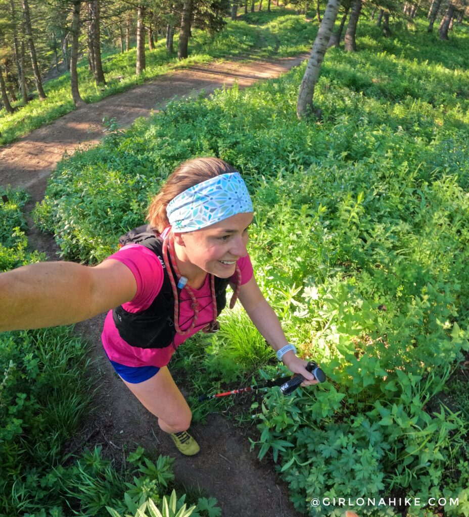
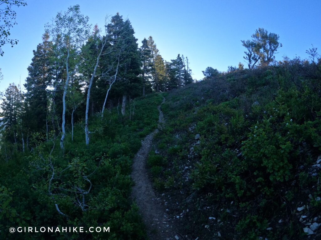
There initially 7-8 switchbacks, with a moderate climb. The trail is very well shaded for this portion of the hike.
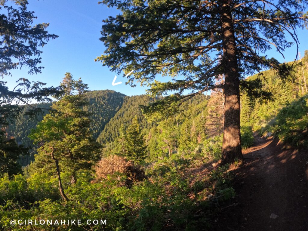
As the trail heads south, you will now have a great view of Summit Park Peak!
 I love hiking this trail early (around 6am) – it’s quiet, you might see animals, and there are no bikes!
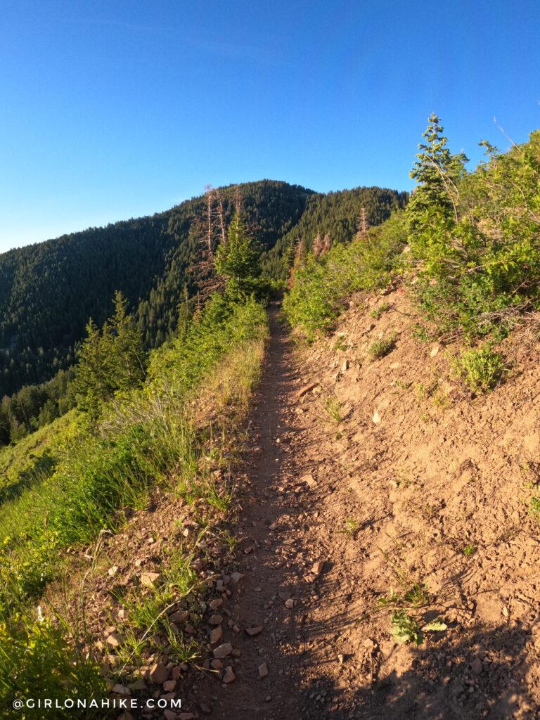
Soon you will now be on the South facing slope, with small trees, and a more exposed trail. At the 2nd trail split, veer right.
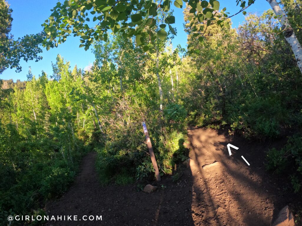
At the 3rd trail split, if you continue straight onto the “Trail to WORS” you will be walking above a green water tank. This is NOT the correct way.
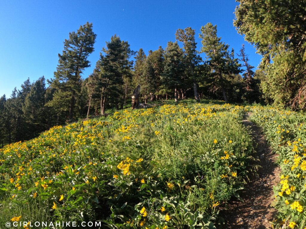
It’s SO green in mid-summer! All the flowers were blooming too.
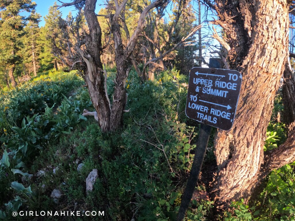
When you reach the first small ridge you will see this tiny sign – stay left (south).
Now the trail gains elevation steeply to the next ridge.
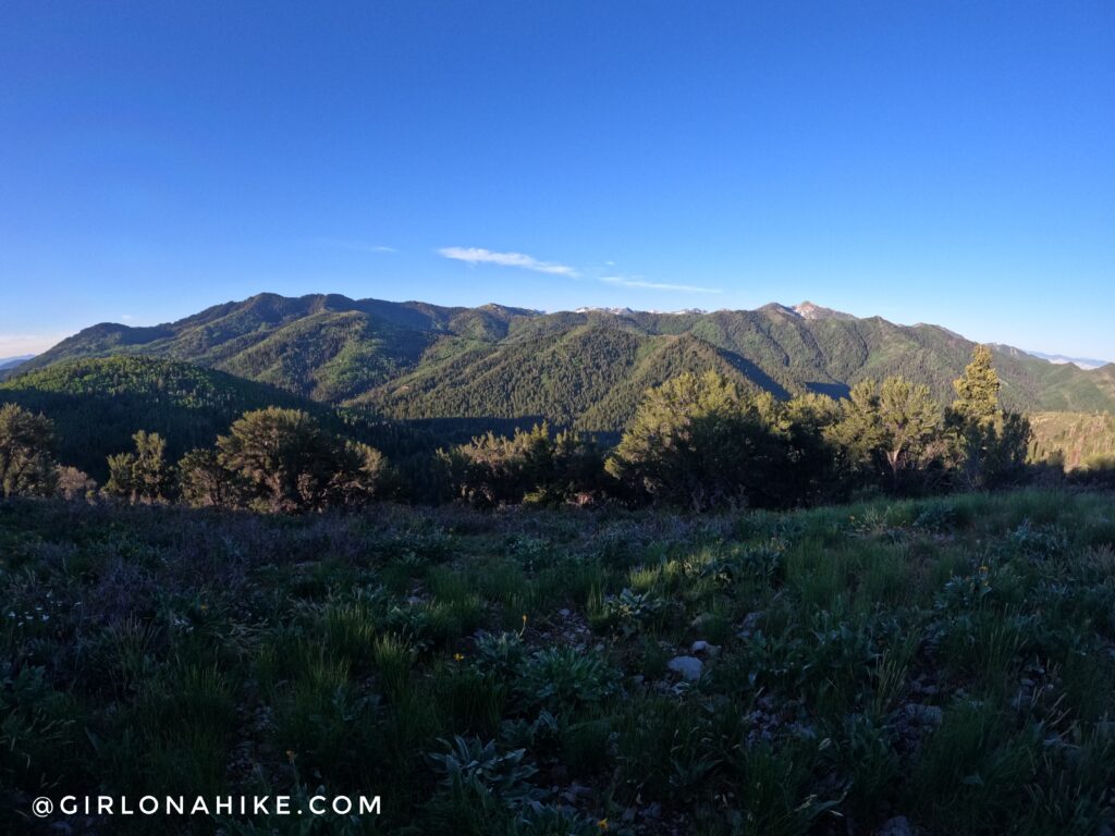
At 1.9 miles you will see an unsigned trail split. If you stay right, it will take you steeply up to the ridge with this view. (You can also stay right, you will just skip the ski lift chair). Murdock Peak is to the far left and Mt.Aire is to the far right.
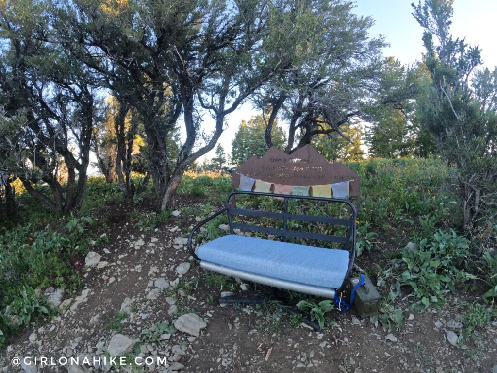
The reason I suggest going right at that split, is so is leads you to this. A ski lift chair on your left – a memorial for Craig A. Patterson.
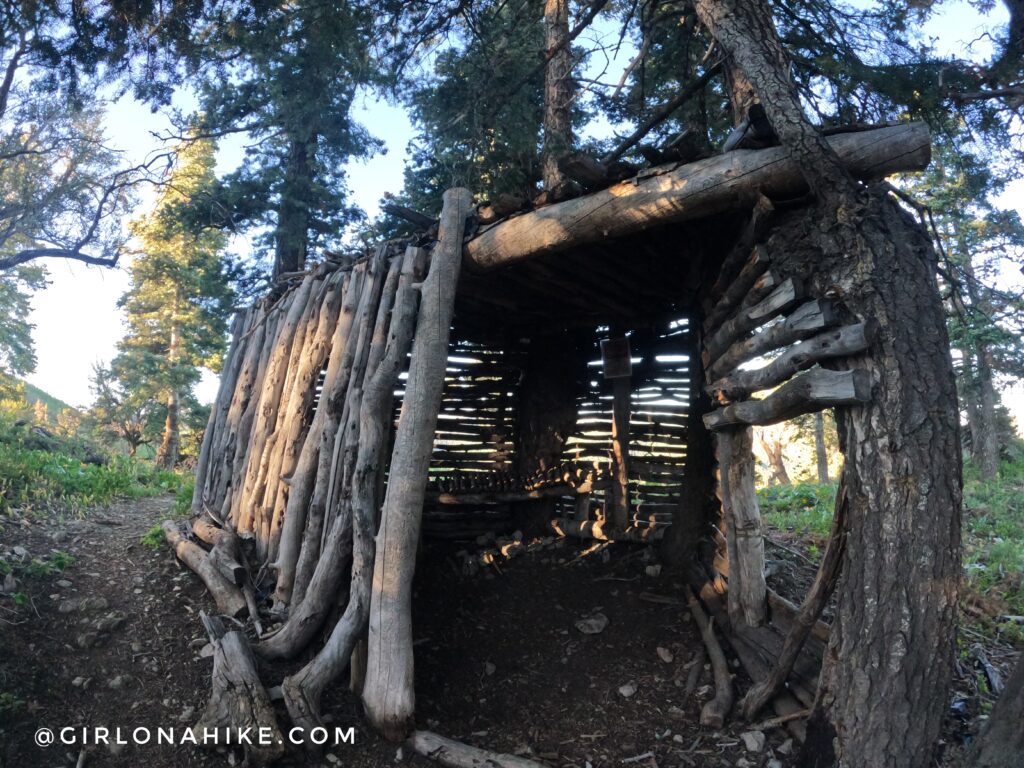
You will pass a bushcraft shelter as well.
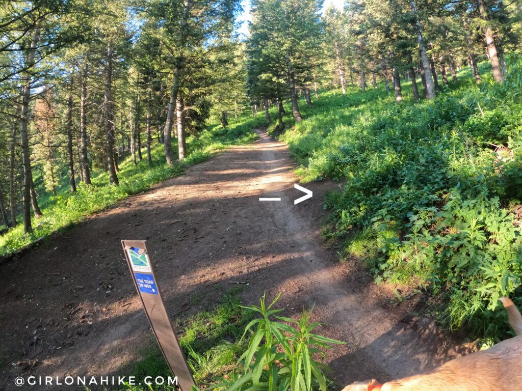
Continue following the well-traveled trail.
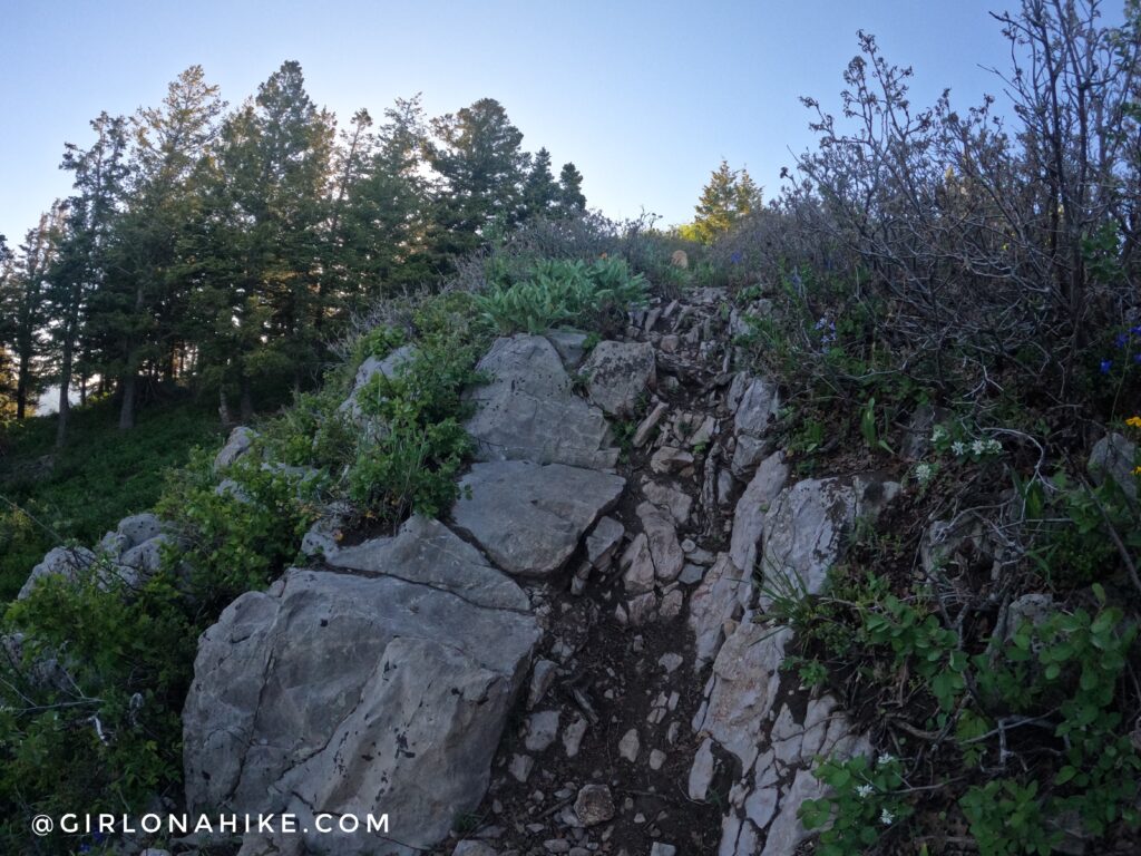
There are some rocky areas the last few minutes leading up to Summit Park Peak.
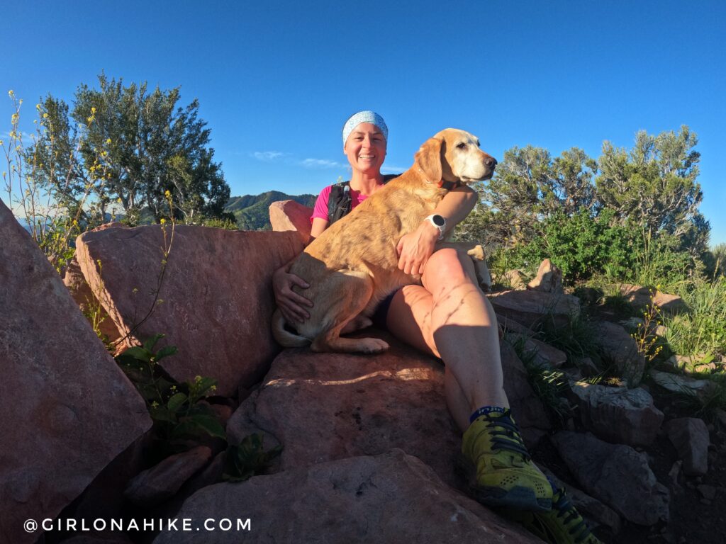
On the summit with Charlie! I think we have done this peak about 4-5 times over the years, I really enjoy it!
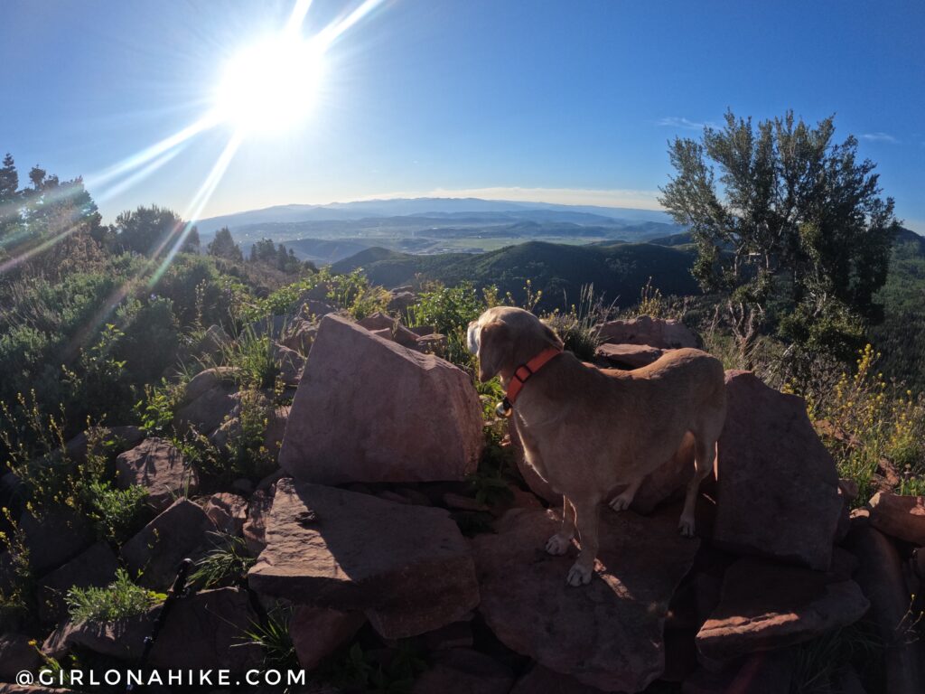
On Summit Park Peak looking SE over to Park City!
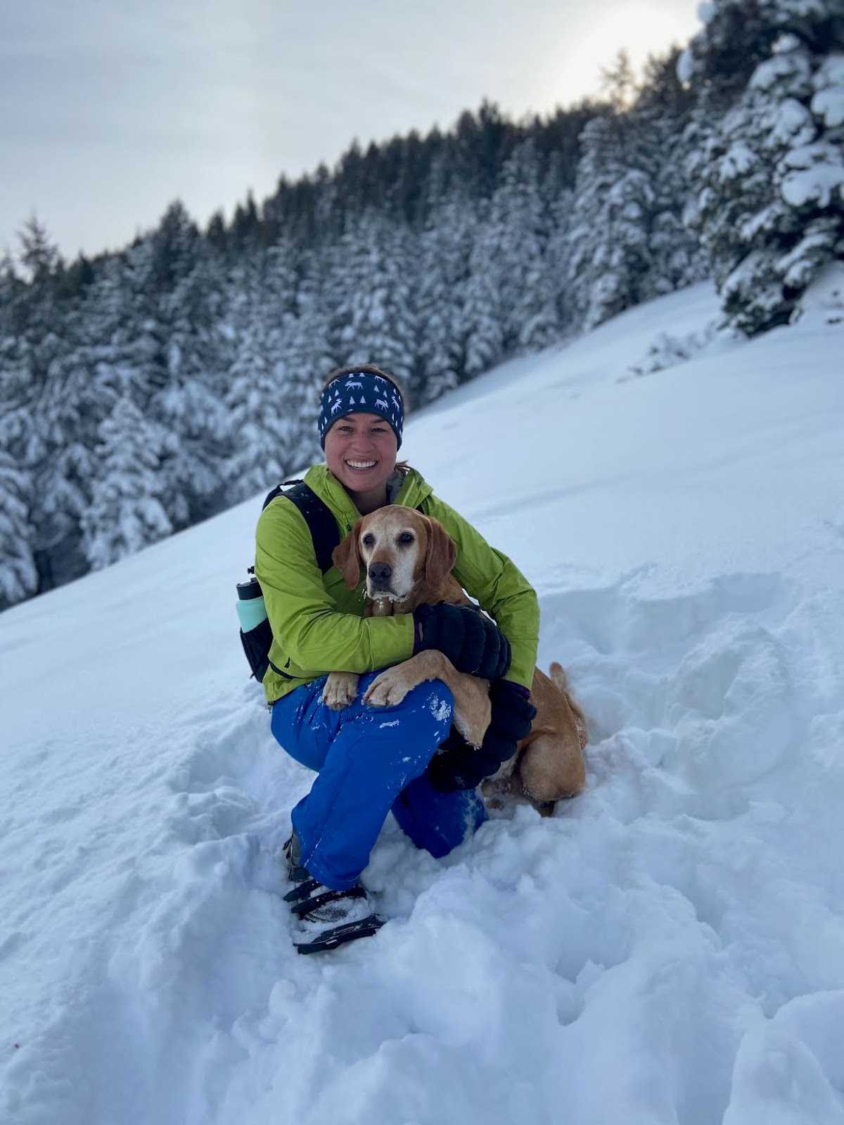
December 2019
Prior to 2022, you could park at the TH and hike here in winter. I loved snowshoeing this trail.
You can still do it today, but would need to add on about 1.5 miles of road each way to reach the trailhead with legal parking (or Uber!).
Trail Map
My track via Gaia GPS – the best tracking app! Get your app here for a discount.
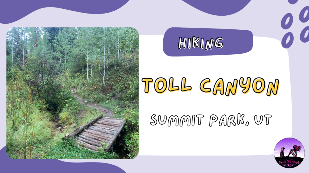
Nearby Hike
Hiking Toll Canyon, Summit Park

Save me on Pinterest!