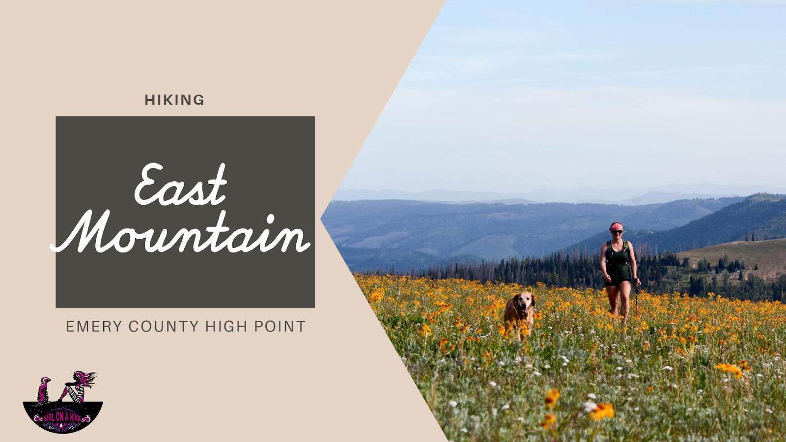
East Mountain (10,743 ft) is the Emery County High Point, and is one of several peaks along the Wasatch Plateau. The hike itself is straight forward, following a well-worn trail used by horses, hunters, and hikers. The main reason why people hike to this peak is for checking off the Utah County High Points (CoHPs) list. It's one of the easier CoHPs, and is often combined with Monument Peak, South Tent Mountain, or all three in one day. For our trip, we only did East & Monument on the same day since I had hiked South Tent Mountain a month earlier. From the summit you can see three CoHPs. Camping is plentiful and the drive is scenic. Both dogs and older kids can hike this route.
[lwptoc]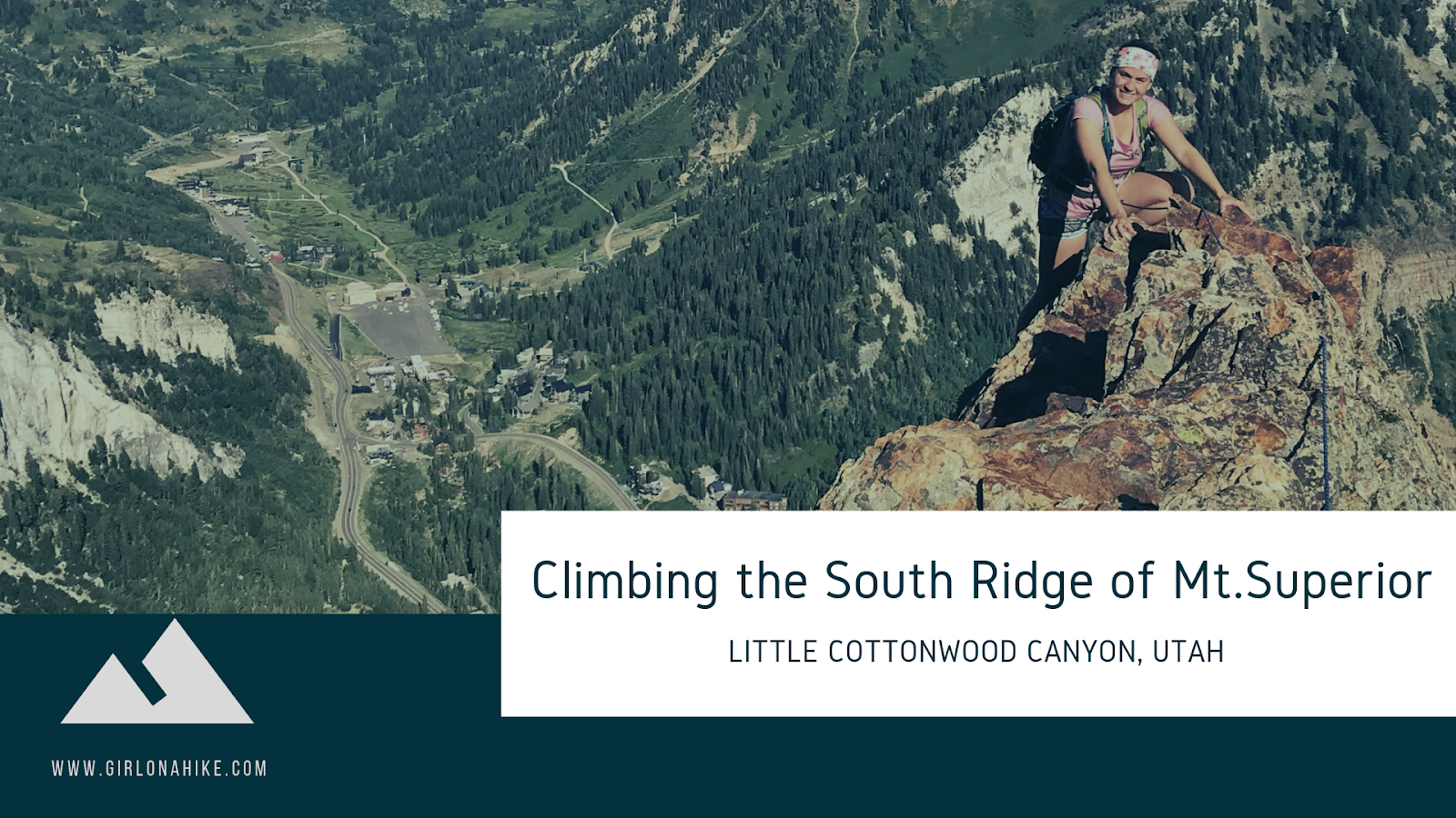
The South Ridge of Mt.Superior is a popular class 5 scramble to reach the summit. You can hike this on an actual trail this route, however the appeal of taking the South Ridge is that is offers a more challenging & technical approach. The South Ridge of Superior is considered a "Wasatch Classic" scramble with a lot of exposure and big views. It is highly recommended that if this is your first time taking this route, to go with someone who knows the way and can also help coach you through tough and exposed spots.
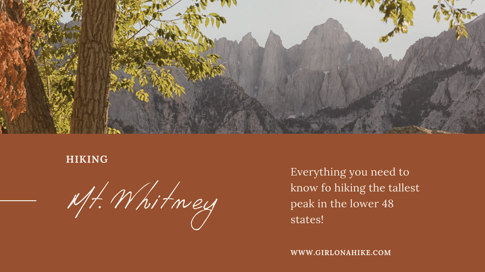
Mt.Whitney (14, 505 ft) is the highest peak in the lower 48 United States, the tallest peak of California, and sits a full 2 miles above the town of Lone Pine, CA!
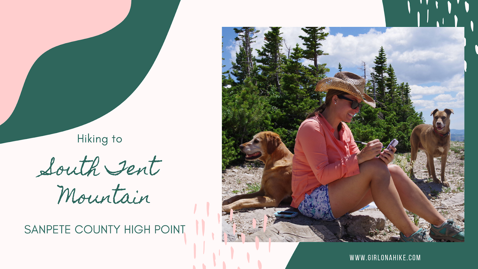
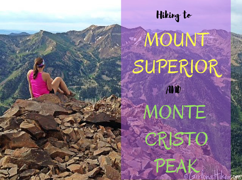
South Tent Mountain (11,285 ft) is the Sanpete County High Point, and an amazing hike along a ridge with wide, open views the entire hike. Most people chose to hike South to North (on the South end of the mountain) and just aim for the South Tent saddle. However, we hiked the entire ridge to also bag North Tent Mountain (11,230 ft). The ridge is a very easy hike, and no technical gear or scrambling is required. This route is only 5 miles RT - only a little longer than the traditional saddle route, yet you'll bag two peaks.
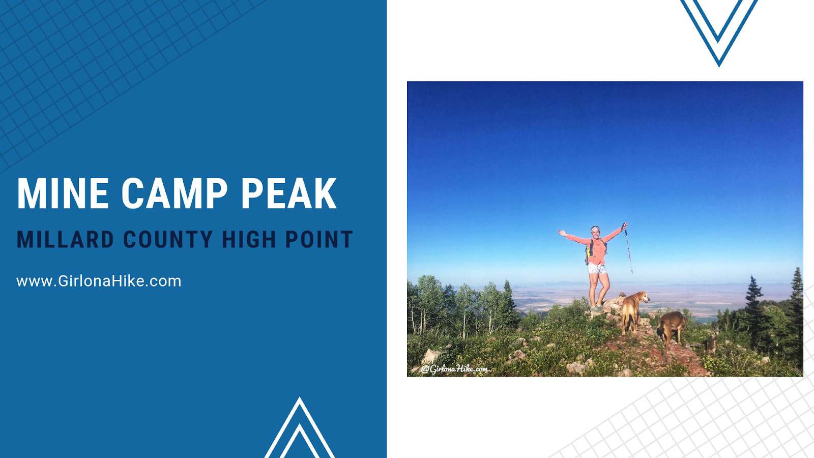
Mine Camp Peak (10, 222ft) is the Millard County High Point (CoHP), and one of the easiest to summit out of all the CoHPs at only 1 mile round trip. The drive will take much longer than the actual hike, so be prepared to spend close to half a day at least to summit this peak, and make the drive in and out. Mine Camp Peak should be combined with other peaks in the area since it's so short. In one weekend, we knocked out Brian Head Peak (Iron County High Point), Andy Nelson Peak & the Kane County High Point, Cascade Falls, and South Tent Mountain (Sanpete County High Point). Camping is available right at the trailhead, but only 2-3 tents can fit and one car can park there. This trail is both dog and kid-friendly!
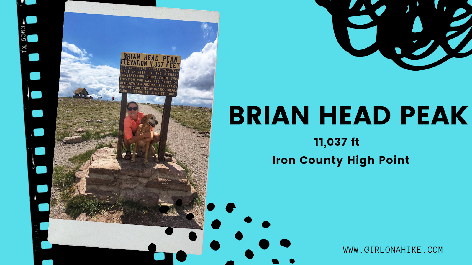
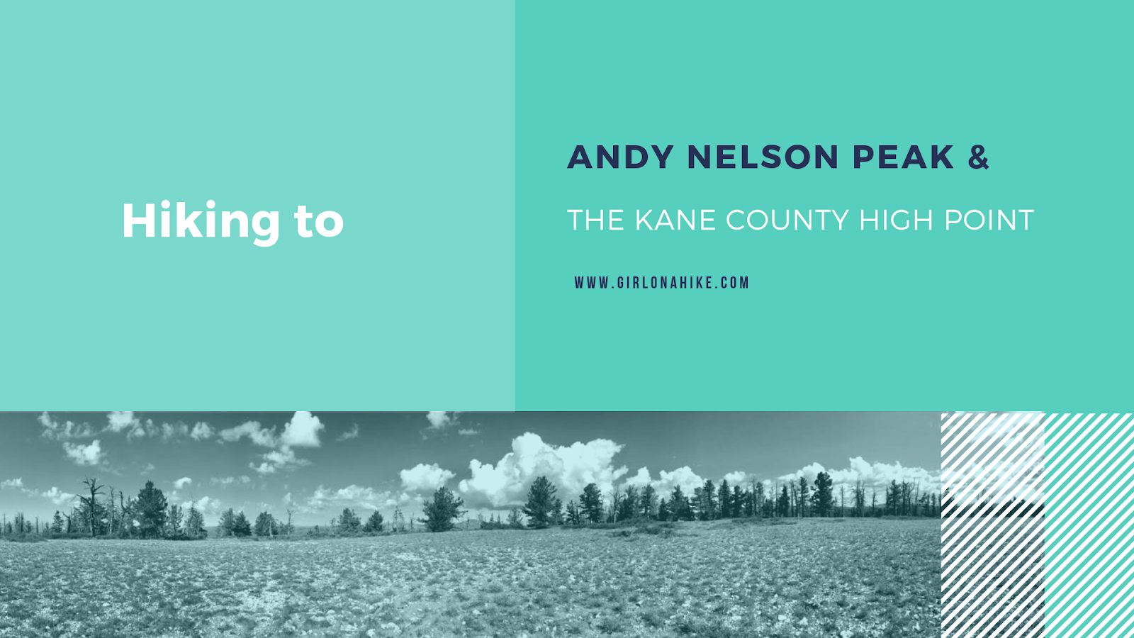
The Kane County High Point (10,080 ft) is located on a small ridge similar to the Wasatch County High point, rather than on an actual peak. The highest actual peak, Andy Nelson Peak (10,027 ft) is nearby so it is worth to do both on the same day. In one day, we actually did the Kane CoHP, Andy Nelson Peak, hiked Cascade Falls, drove through the lava fields, and then drove to the Iron County HP (Brian Head Peak).