

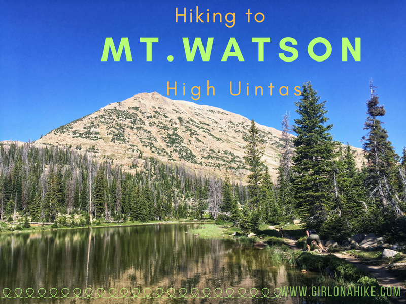
Mt. Watson (11,521 ft) is located on the West end of the High Uintas Wilderness, and though it is surrounded by several popular trails and lakes, most people do not summit this peak. There is a trail for the first 2 miles, but you're on your own after that to reach the top. That's what makes part of this peak fun - it's a "choose your own path" adventure!
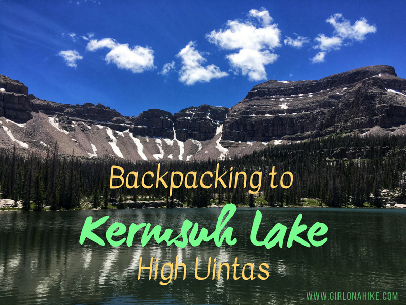
Kermsuh Lake is an alpine lake in the High Uintas Wilderness. It sits at an elevation of 10,200 ft, making it the perfect cooler destination while the SLC valley is baking in heat. Kermsuh Lake sits in one of the three basins in Christmas Meadows - Ryder and Amethyst Lake are the other two, more popular lakes.
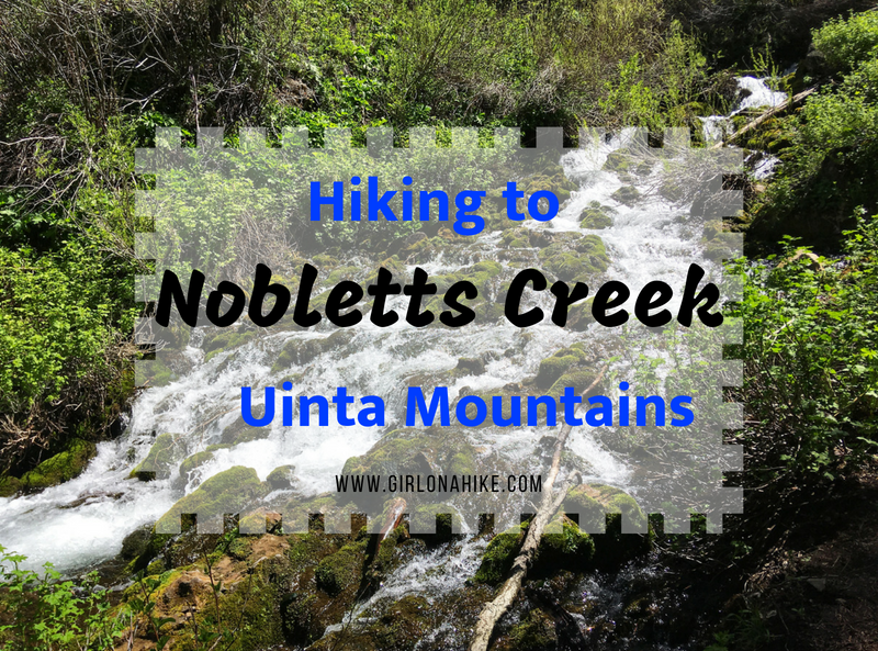
Noblett's Creek, located in the Southwestern end of the Uinta Mountains, is a good early/pre-season hike when the rest of the high elevation hikes in the Uintas are still covered with snow and mud. Because Noblett's Creek is at an elevation of 7,400 ft it is typically ready to hike by end of May/early June (depending on the snow pack from Winter). This trail is really short at only 2 miles round trip, making it perfect for families and kids.
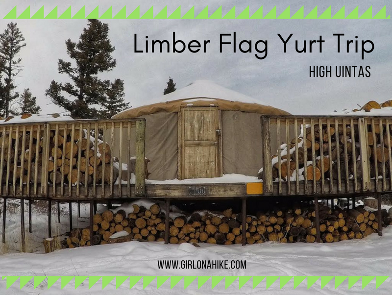
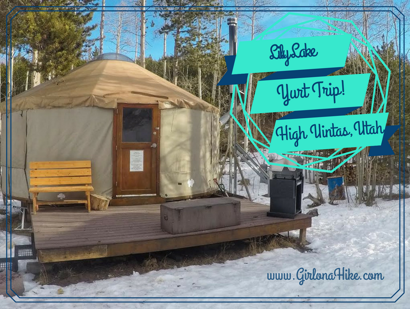
The Lily Lake Yurt sits at 9,000 ft elevation in the High Uintas of Utah and is only accessible during winter months. The Bear River Outdoor Recreation Alliance (BRORA), a non-profit corporation, manages the Lily Lake Yurt plus four other yurts including the Bear Claw Yurt, Ridge Yurt, East Fork Yurt, and Boundary Creek Yurt. Getting to the yurt in Winter typically requires snowshoes or skis and a little route finding. BRORA has done a great job of maintaining the yurts, placing trail signs, and protecting the Bear River area.
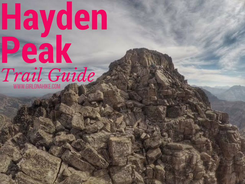
Hayden Peak (12,479 ft) stands out for anyone who's driven along the Mirror Lake Highway in the Uintas. This rugged peak is quite intimidating from the road, but for Peak Baggers that's nothing to prevent us from climbing it. Hiking to the summit of Hayden Peak is NOT for the beginner hiker nor the beginner peak bagger. You should be comfortable hiking across narrow ridges, class 3 scrambles, and route finding. There is either a very faint, or non-existent trail. Though this route is only 2 miles one way, you'll gain a total of just over 2,000 ft.
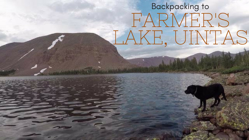
Farmer's Lake is a lake in the Timothy Lakes Basin in the High Uintas. The trail follows the Swift Creek Trail, as it gains 3,000 ft in 9 miles. There are several other lakes you could backpack to including East or West Timothy Lakes, and Carroll Lakes. Backpacking to this area requires at least a one night minimum stay - two nights is preferred. There is plenty to explore as a day hike in the area and even bag some peaks. The best part about this trail and lake is that we didn't see anybody over 3 days on a weekend! You'll find plenty of solitude here.
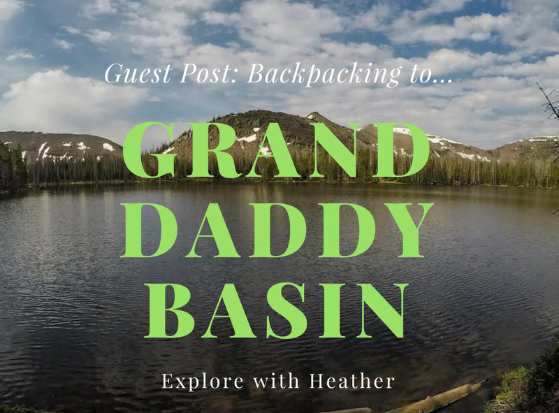
Today's Guest Post comes from Heather Lyon! She, her husband, and dogs recently took a backpacking trip to Granddaddy Basin in the Uintas, and she's here to let us know all about it!
By Heather Lyon
The Uinta National Forest about an hour due East of Park City, Utah is known for many things. Some of these include Kings Peak, over 1,000 alpine lakes, awesome fishing, and our favorite - prime backpacking. It's so simple to go there. Just buy a map, pick a trail, and how far in you want to go. You will surely find yourself with some of the best views at your chosen campsite for the evening.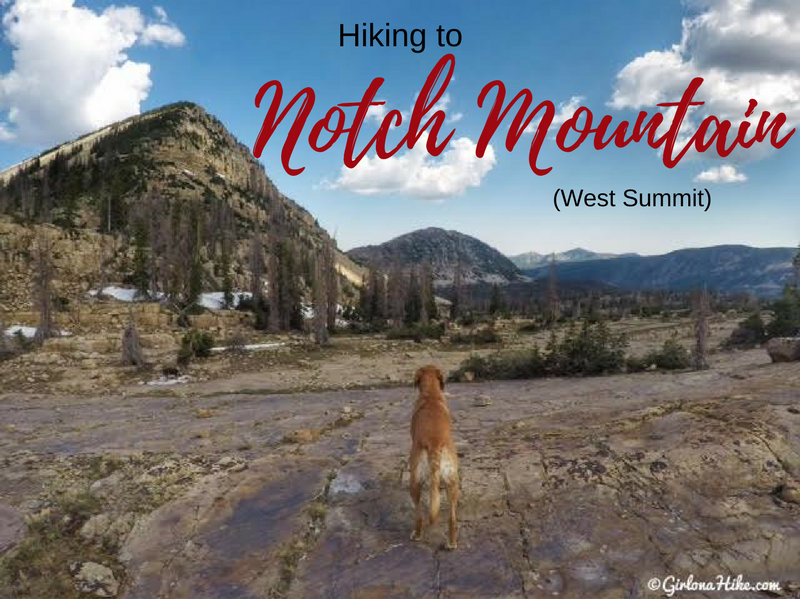
The West Summit of Notch Mountain (11,206 ft) is near "The Notch", an opening in between the West and East summits. The Notch is the high, open area on the Notch Mountain Trail by Lovenia Lake and Twin Lakes. Hiking to the West summit is fairly easy for seasoned peak baggers, and offers a good intro to peak bagging for newbies. There is a trail all the way to The Notch, after that you need to find your own route. It's not hard though, just steep hiking over medium sized boulders. Be careful where you step as some boulders are uneven - always test it out before putting all of your weight on the boulder.